Greatham
Settlement in Sussex Horsham
England
Greatham
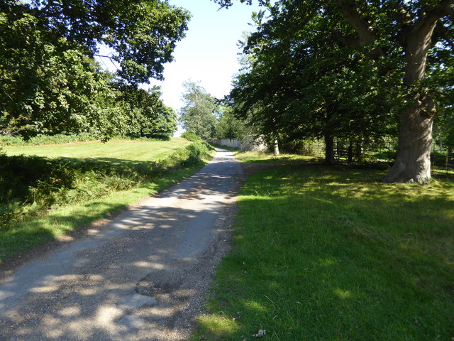
Greatham is a small village located in the county of Sussex, in the southeastern part of England. Situated approximately 10 miles north of Chichester and 5 miles south of Petersfield, Greatham is nestled in a picturesque rural setting, surrounded by rolling hills and scenic countryside.
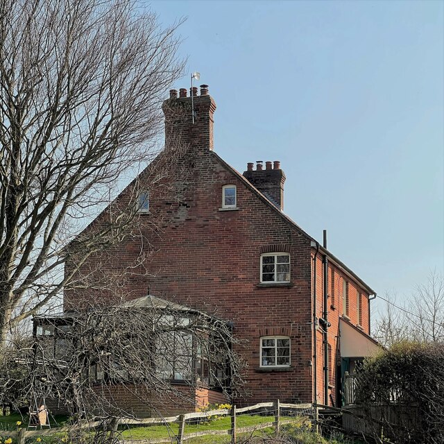
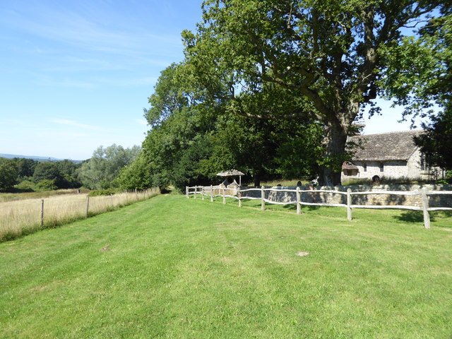
The village is home to a population of around 500 residents, and its history dates back to medieval times. It is characterized by its charming traditional architecture, with many of the buildings constructed using local materials such as flint and timber.
Greatham boasts a close-knit community atmosphere, with a range of amenities and services available to its residents. These include a local pub, a village shop, and a primary school, providing essential facilities for daily life.
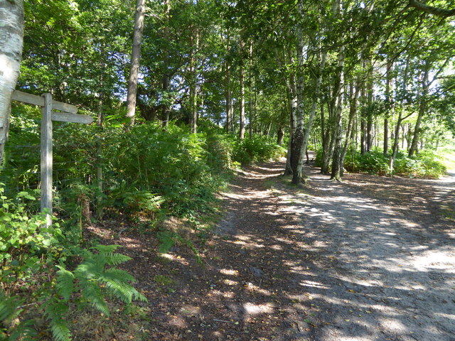
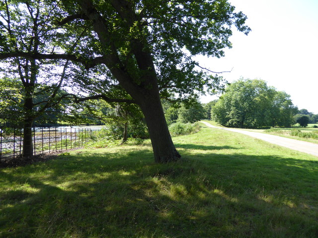
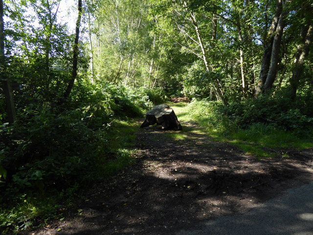
The village is also known for its natural beauty and outdoor recreational opportunities. It is surrounded by vast open spaces, making it an ideal destination for walking, hiking, and exploring the countryside. Additionally, the nearby South Downs National Park offers stunning views and various outdoor activities for nature enthusiasts.
Greatham benefits from good transportation links, with easy access to major roads and nearby towns. The A3 road provides convenient access to Portsmouth and London, while nearby train stations in Petersfield and Chichester offer regular services to major cities.
Overall, Greatham offers a peaceful and idyllic lifestyle in the heart of the Sussex countryside, with a strong sense of community and an abundance of natural beauty.
If you have any feedback on the listing, please let us know in the comments section below.
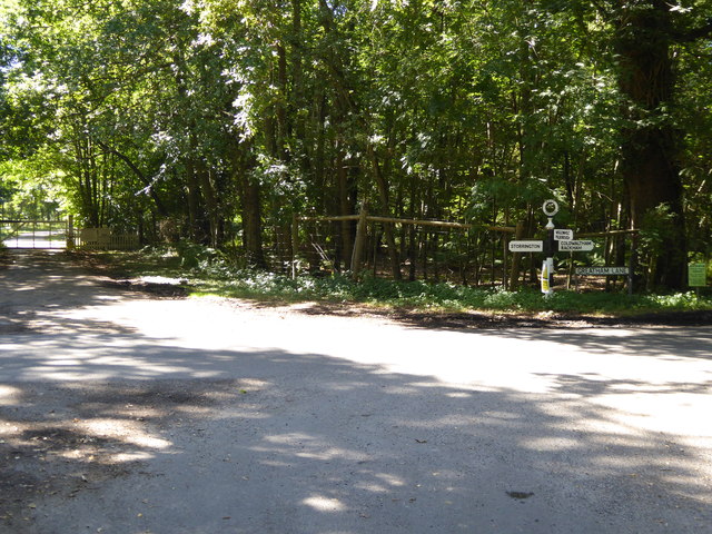
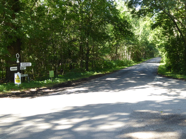
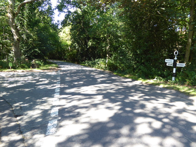
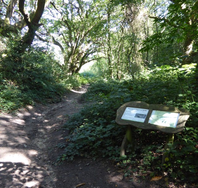
Greatham Images
Images are sourced within 2km of 50.933046/-0.515684 or Grid Reference TQ0415. Thanks to Geograph Open Source API. All images are credited.


Greatham is located at Grid Ref: TQ0415 (Lat: 50.933046, Lng: -0.515684)
Administrative County: West Sussex
District: Horsham
Police Authority: Sussex
What 3 Words
///stunner.overlaps.fearfully. Near Pulborough, West Sussex
Nearby Locations
Related Wikis
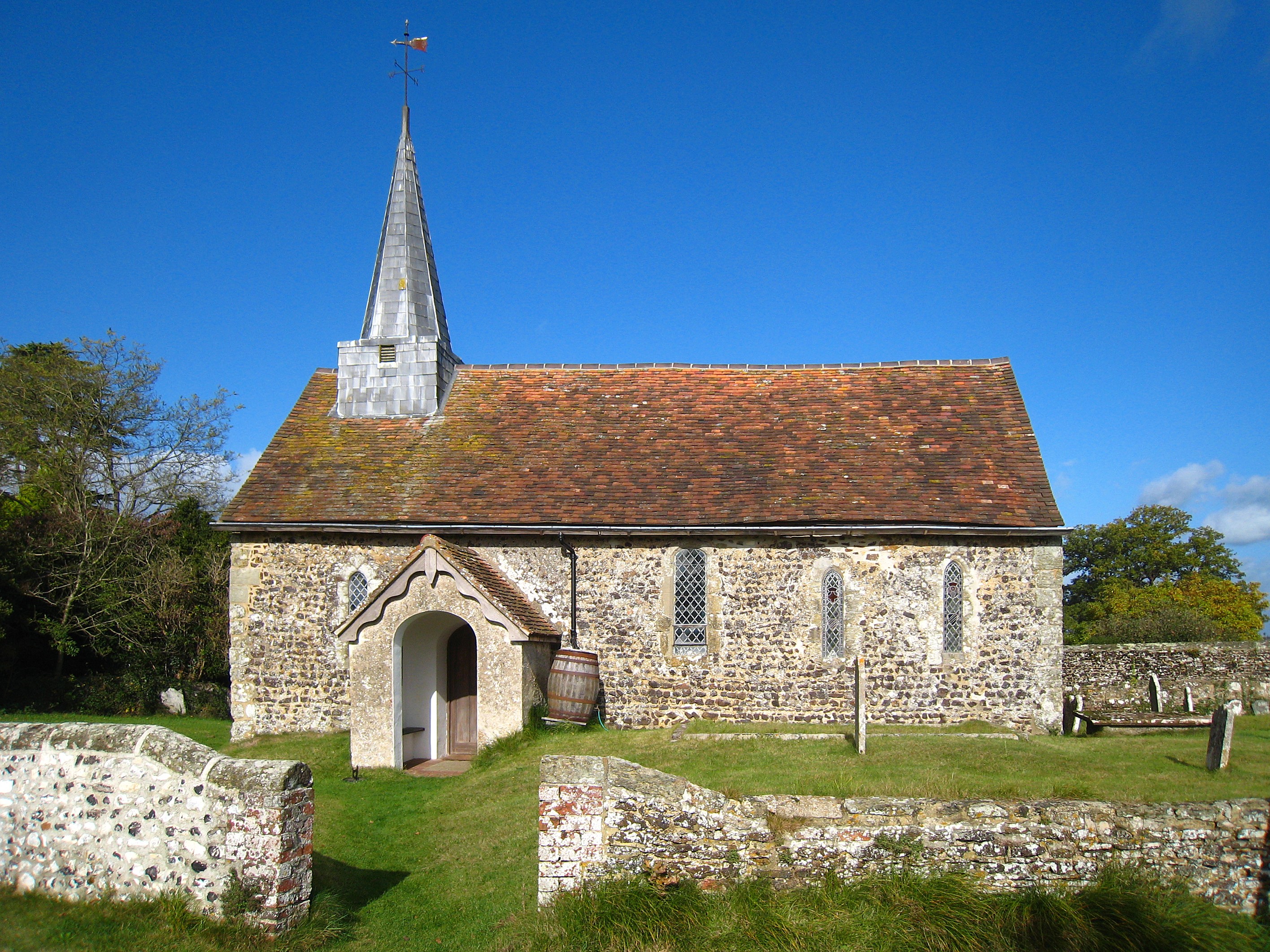
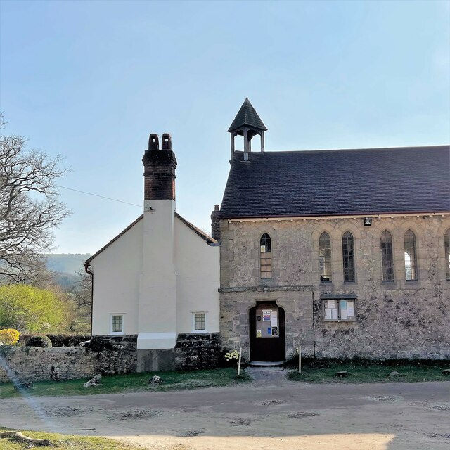
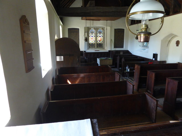
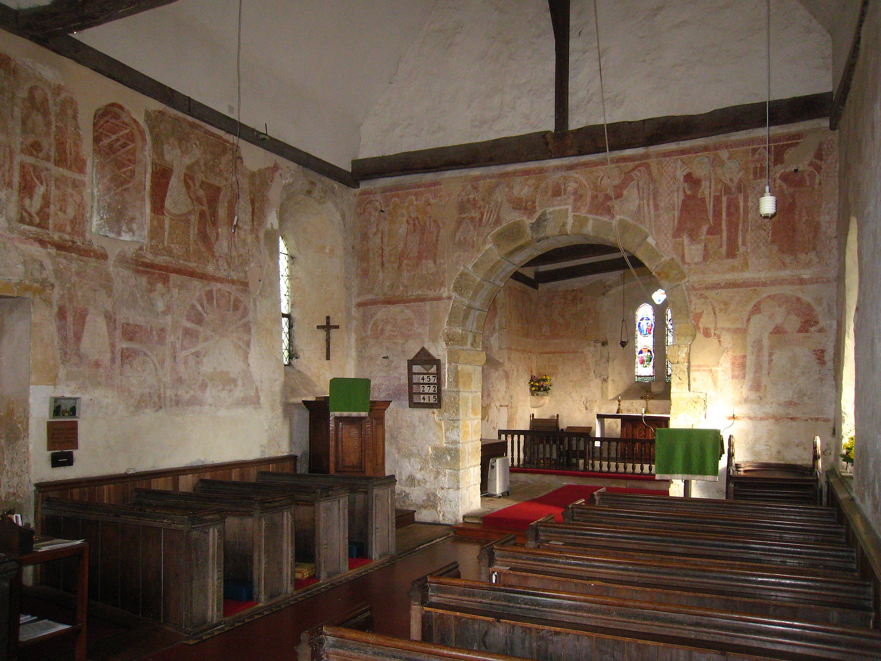
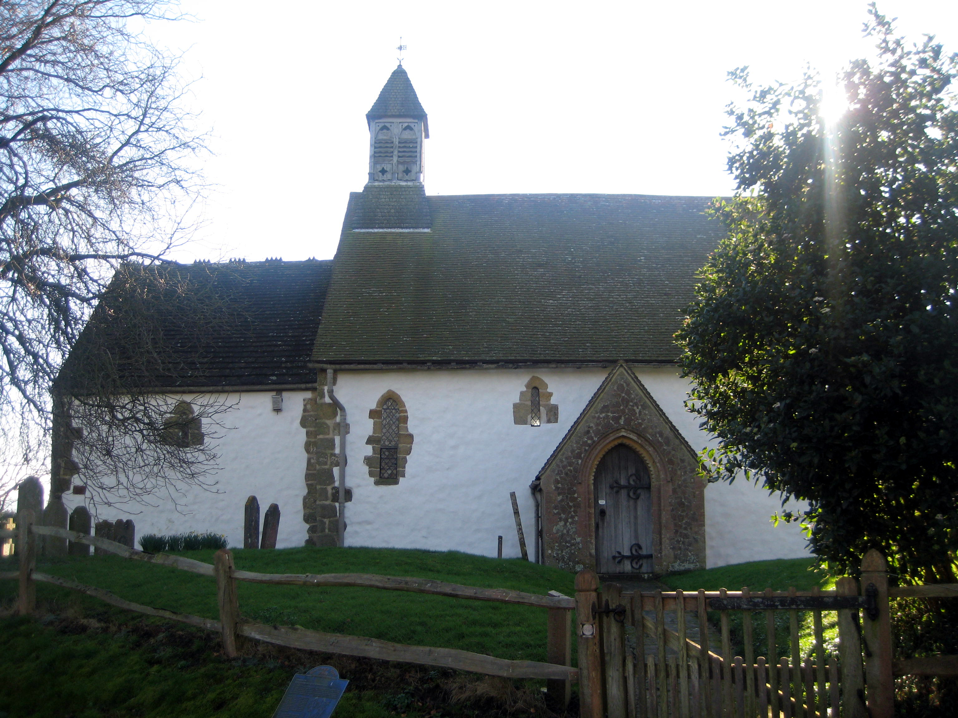
Greatham Church
Greatham Church (the dedication is unrecorded) is the Anglican parish church of the hamlet of Greatham in the district of Horsham, one of seven local government...

Greatham, West Sussex
Greatham ( GRET-əm) is a small village and former civil parish, now in the parish of Parham, in the Horsham district of West Sussex, England. It lies on...

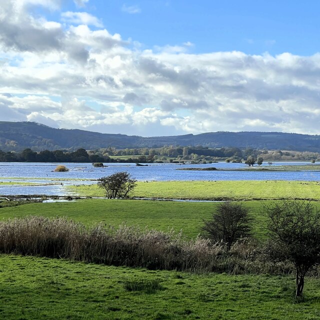
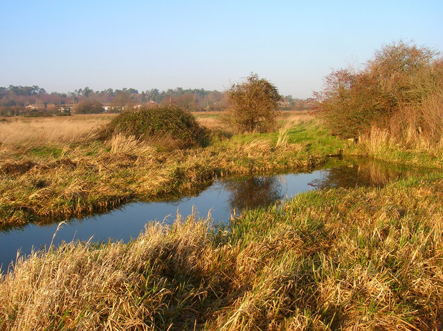
Pulborough Brooks
Pulborough Brooks is a 160-hectare (400-acre) biological Site of Special Scientific Interest south of Pulborough in West Sussex. It is part of the Pulborough...

Hardham Priory
Hardham Priory was an Augustinian priory in Hardham, West Sussex, England. It was founded around 1248 by Sir William Dawtrey as a priory of Black Canons...
St Botolph's Church, Hardham
St Botolph's Church is the Church of England parish church of Hardham, West Sussex. It is in Horsham District and is a Grade I listed building. It contains...
Hardham
Hardham is a small village and former civil parish, now in the parish of Coldwaltham, in the Horsham district of West Sussex, England. It is on the A29...
Waltham Brooks
Waltham Brooks is a 47.4-hectare (117-acre) biological Site of Special Scientific Interest south-west of Pulborough in West Sussex. It is owned and managed...
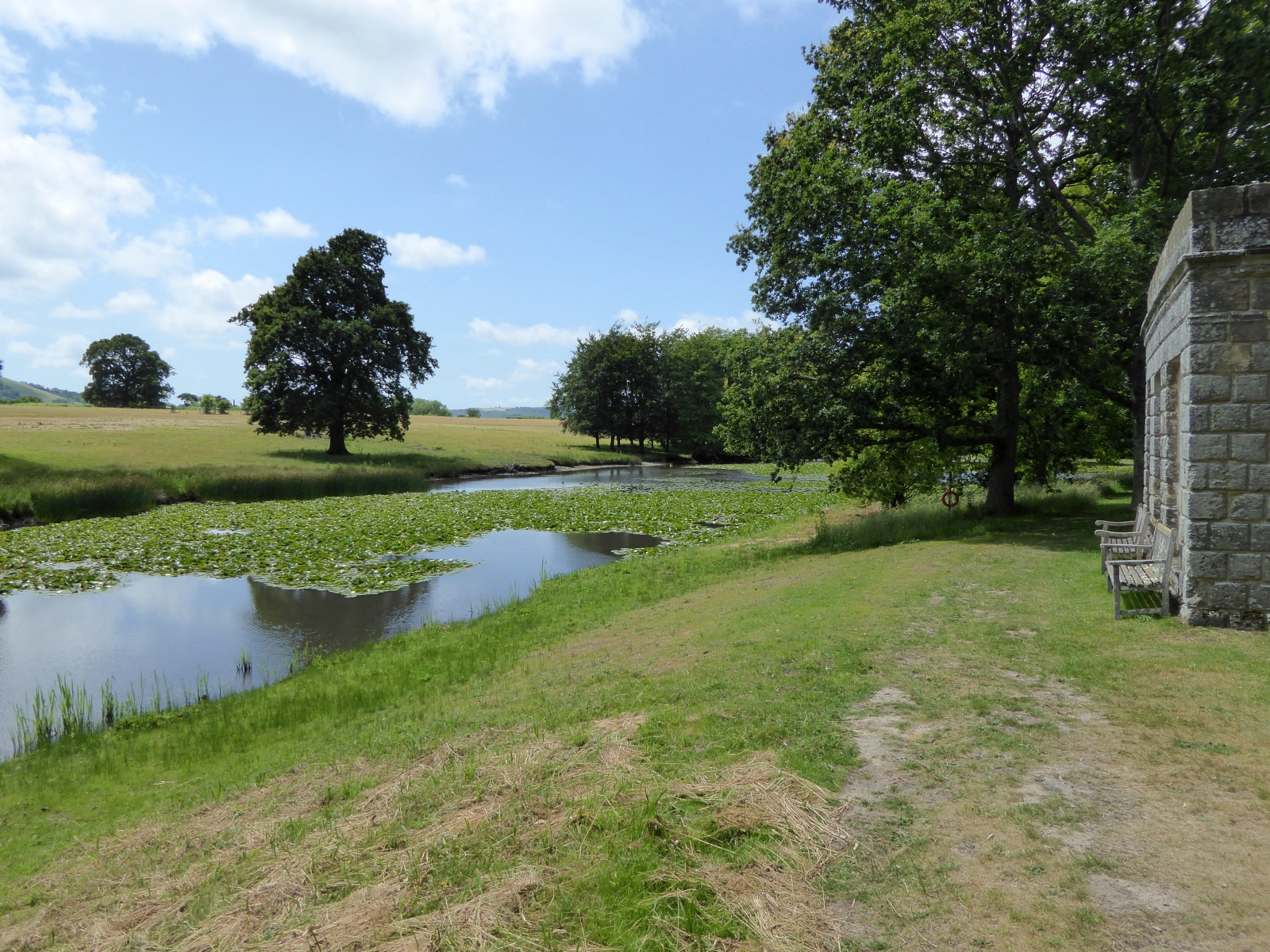
Parham Park SSSI
Parham Park SSSI is a 263.3-hectare (651-acre) biological Site of Special Scientific Interest in the grounds of Parham Park, west of Storrington in West...
Nearby Amenities
Located within 500m of 50.933046,-0.515684Have you been to Greatham?
Leave your review of Greatham below (or comments, questions and feedback).