The Mere
Lake, Pool, Pond, Freshwater Marsh in Yorkshire
England
The Mere
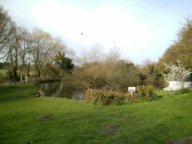
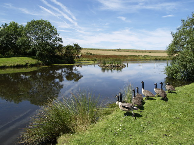
The Mere, located in the county of Yorkshire, is a large body of water that can be classified as a lake, pool, pond, and freshwater marsh. With an area of approximately 70 acres, it is one of the largest natural lakes in the region. The Mere is situated within the village of Elvington, near the city of York, making it easily accessible to visitors.
The lake is surrounded by picturesque landscapes, with lush greenery and rolling hills creating a serene and tranquil atmosphere. Its crystal-clear waters are fed by natural springs and rainwater, resulting in a pure and unspoiled environment. The Mere’s depths range from shallow areas, ideal for wading and paddling, to deeper sections that are perfect for swimming and boating.
The lake is home to a diverse range of flora and fauna, including various species of waterfowl, fish, and aquatic plants. Birdwatchers will be delighted to spot a wide variety of resident and migratory birds, such as swans, ducks, herons, and kingfishers. The surrounding marshland acts as an important habitat for wetland species, contributing to the overall ecological diversity of the area.
The Mere offers a range of recreational activities for visitors to enjoy. Fishing enthusiasts can try their luck in catching roach, perch, and pike, among other species. Boating and kayaking are popular pastimes, allowing visitors to explore the lake’s hidden nooks and crannies. Additionally, the Mere is surrounded by well-maintained footpaths, providing opportunities for leisurely walks and nature hikes.
Overall, the Mere in Yorkshire is a natural gem, offering a peaceful retreat for those seeking solace in nature's embrace. Its scenic beauty, diverse wildlife, and recreational opportunities make it a must-visit destination for both locals and tourists alike.
If you have any feedback on the listing, please let us know in the comments section below.
The Mere Images
Images are sourced within 2km of 54.13015/-0.18004149 or Grid Reference TA1972. Thanks to Geograph Open Source API. All images are credited.


The Mere is located at Grid Ref: TA1972 (Lat: 54.13015, Lng: -0.18004149)
Division: East Riding
Unitary Authority: East Riding of Yorkshire
Police Authority: Humberside
What 3 Words
///selection.irritate.frightens. Near Bempton, East Yorkshire
Nearby Locations
Related Wikis

Bempton
Bempton is a village and civil parish in the East Riding of Yorkshire, England, near the border with North Yorkshire. It is near the North Sea coast and...
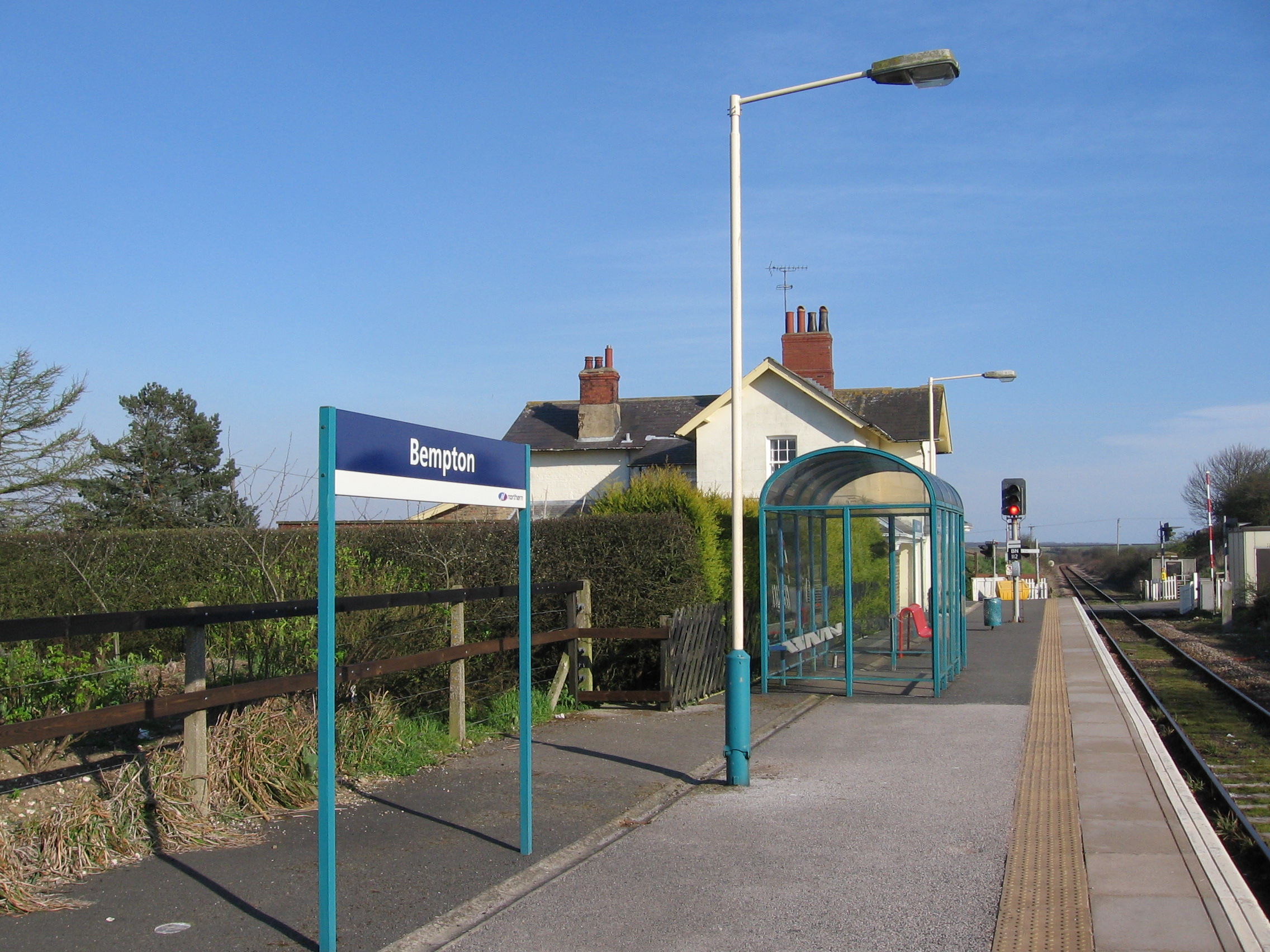
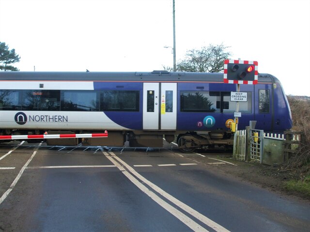
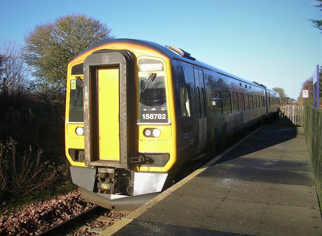
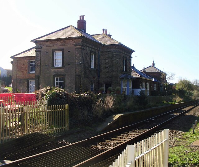
Bempton railway station
Bempton railway station serves the village of Bempton in the East Riding of Yorkshire, England. It is located on the Yorkshire Coast Line and is operated...
Buckton, East Riding of Yorkshire
Buckton is a small village and former civil parish, now in the parish of Bempton, in the East Riding of Yorkshire, England. It is near the North Sea coast...

Flamborough railway station
Flamborough railway station was located in the village of Marton, and was originally named after that location. However, there were several other railway...
Nearby Amenities
Located within 500m of 54.13015,-0.18004149Have you been to The Mere?
Leave your review of The Mere below (or comments, questions and feedback).