Bishop's Pond
Lake, Pool, Pond, Freshwater Marsh in Surrey
England
Bishop's Pond

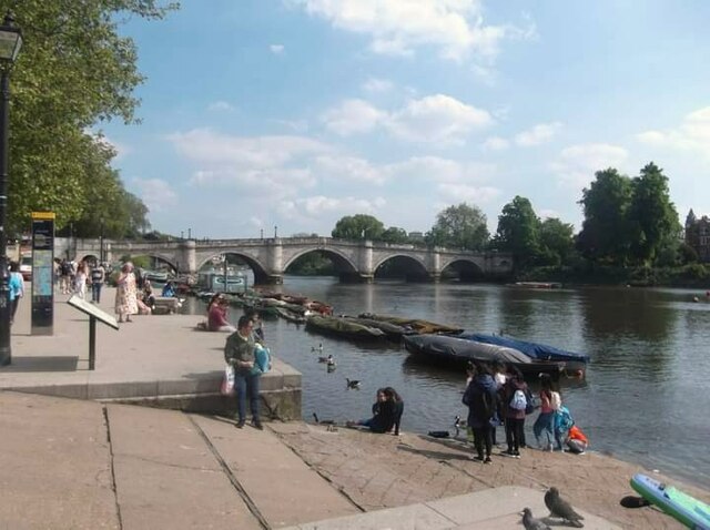
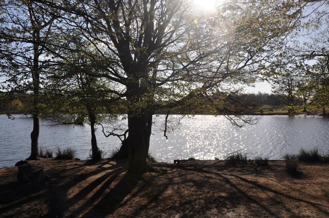
Bishop's Pond, located in Surrey, England, is a serene and picturesque freshwater marshland encompassing a lake, pool, and pond. Stretching across an area of approximately 10 acres, this natural haven boasts abundant flora and fauna, making it an ideal destination for nature enthusiasts and wildlife lovers.
Surrounded by lush greenery, Bishop's Pond offers a peaceful and tranquil setting for visitors to escape the hustle and bustle of everyday life. The lake, pool, and pond are interconnected, creating a harmonious ecosystem that supports a diverse range of aquatic life. The crystal-clear water shimmers under the sunlight, providing a breathtaking sight for visitors.
The marshland is home to a variety of plant species, including water lilies, reeds, and cattails, which provide a habitat for numerous bird species such as ducks, swans, and herons. The melodious chirping of birds fills the air, creating a soothing ambiance for those seeking solace in nature.
Visitors can explore the area by walking along the well-maintained trails that wind around the pond, offering stunning views of the surrounding landscape. The sound of rustling leaves and the occasional splash of a fish breaking the water's surface further enhances the experience.
Bishop's Pond also serves as an educational resource, with informative signboards providing insights into the diverse ecosystem and its importance for wildlife conservation. It is a place where visitors can gain a deeper understanding of the delicate balance of nature.
Overall, Bishop's Pond in Surrey is a scenic and biodiverse freshwater marshland, offering a peaceful retreat for those seeking to connect with nature and appreciate the beauty of the natural world.
If you have any feedback on the listing, please let us know in the comments section below.
Bishop's Pond Images
Images are sourced within 2km of 51.451701/-0.29285519 or Grid Reference TQ1873. Thanks to Geograph Open Source API. All images are credited.
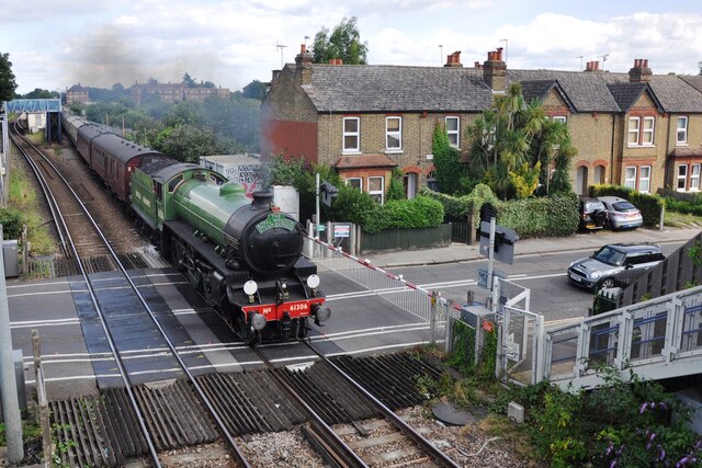


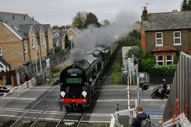
![St Margarets railway station [2] A view along the lines towards Waterloo.
St Margarets railway station was opened in 1876 on the existing line from Waterloo to Windsor.](https://s3.geograph.org.uk/geophotos/07/04/22/7042207_f7f09593.jpg)
![St Margarets buildings [1] Some attractive brick frontages to shops in St Margarets Road, near the railway station.
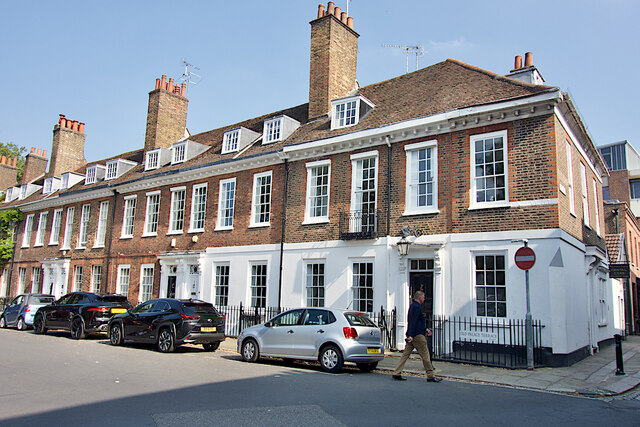
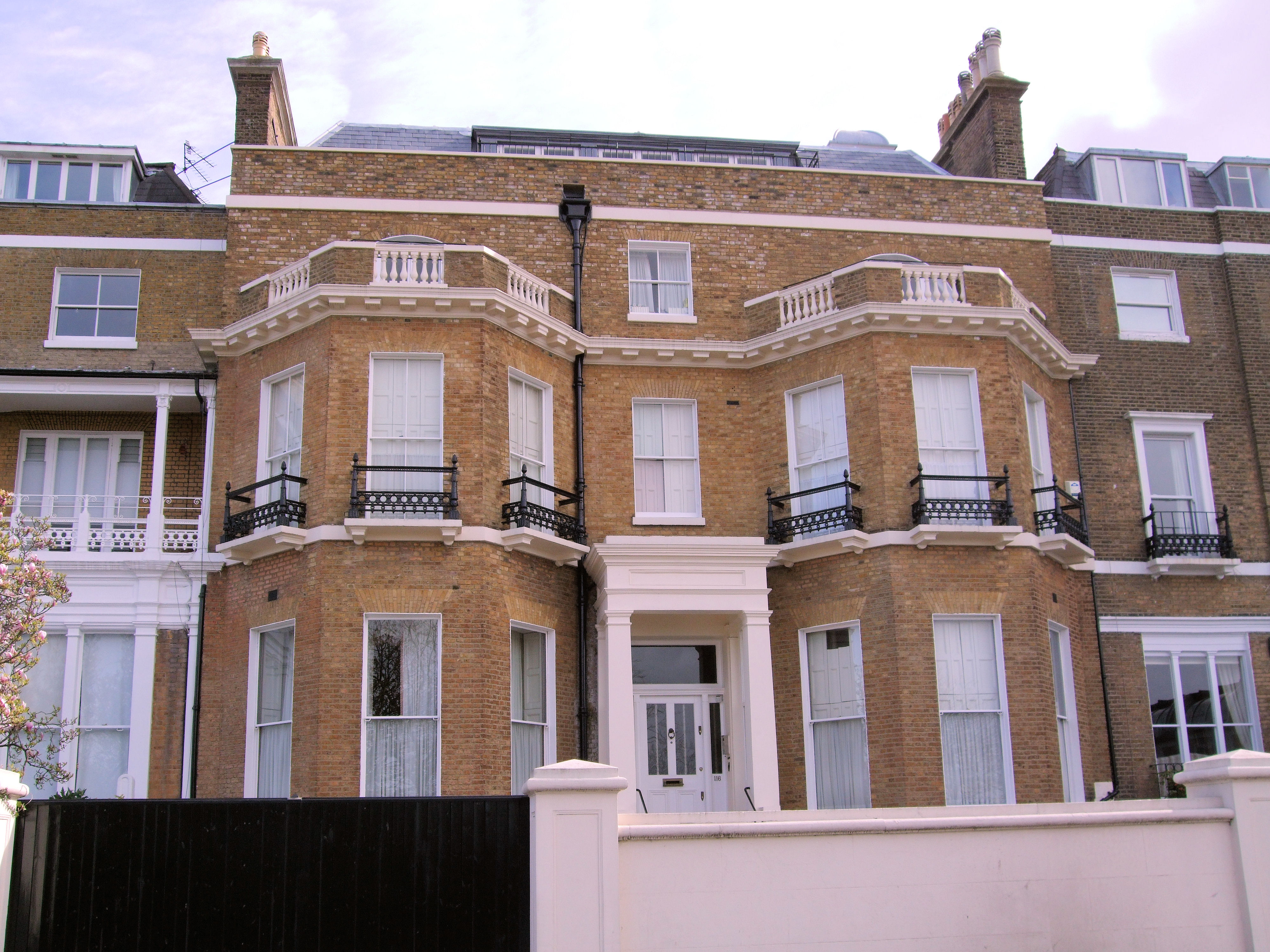
St Margarets is a suburb in the London Borough of Richmond upon Thames, alongside the River Thames, some 9 miles southwest of central London. St Margarets became one of the first garden suburbs when the St Margarets Estate was laid out for family houses in 1854.](https://s3.geograph.org.uk/geophotos/07/04/22/7042211_65a2e506.jpg)
![St Margarets buildings [2] Substantial terraced houses in St Margarets Road.
St Margarets is a suburb in the London Borough of Richmond upon Thames, alongside the River Thames, some 9 miles southwest of central London. St Margarets became one of the first garden suburbs when the St Margarets Estate was laid out for family houses in 1854.](https://s1.geograph.org.uk/geophotos/07/04/22/7042213_e180a5ce.jpg)
![St Margarets buildings [3] Victoria Lodge, number 90 St Margarets Road, was built in the early or mid 19th century in stuccoed brick under a slate roof. The building is in the form of a Doric temple. Listed, grade II, with details at: <span class="nowrap"><a title="https://historicengland.org.uk/listing/the-list/list-entry/1252094" rel="nofollow ugc noopener" href="https://historicengland.org.uk/listing/the-list/list-entry/1252094">Link</a><img style="margin-left:2px;" alt="External link" title="External link - shift click to open in new window" src="https://s1.geograph.org.uk/img/external.png" width="10" height="10"/></span>
St Margarets is a suburb in the London Borough of Richmond upon Thames, alongside the River Thames, some 9 miles southwest of central London. St Margarets became one of the first garden suburbs when the St Margarets Estate was laid out for family houses in 1854.](https://s2.geograph.org.uk/geophotos/07/04/22/7042218_080a26d9.jpg)
![St Margarets features [1] An Edward VII letter box at the junction of St Margarets Road and Baronsfield Road.
St Margarets is a suburb in the London Borough of Richmond upon Thames, alongside the River Thames, some 9 miles southwest of central London. St Margarets became one of the first garden suburbs when the St Margarets Estate was laid out for family houses in 1854.](https://s2.geograph.org.uk/geophotos/07/04/22/7042222_58c08986.jpg)
![Sandycombe Lodge [1] Sandycombe Lodge, number 40 Sandycombe Road, is a delightful house built in 1813 for the artist J W Turner, to his own design. Now in the care of a charitable trust, the house is open to the public. There is much detail and history at: <span class="nowrap"><a title="https://turnershouse.org/" rel="nofollow ugc noopener" href="https://turnershouse.org/">Link</a><img style="margin-left:2px;" alt="External link" title="External link - shift click to open in new window" src="https://s1.geograph.org.uk/img/external.png" width="10" height="10"/></span> The house is listed, grade II*, with details at: <span class="nowrap"><a title="https://historicengland.org.uk/listing/the-list/list-entry/1262429" rel="nofollow ugc noopener" href="https://historicengland.org.uk/listing/the-list/list-entry/1262429">Link</a><img style="margin-left:2px;" alt="External link" title="External link - shift click to open in new window" src="https://s1.geograph.org.uk/img/external.png" width="10" height="10"/></span>](https://s0.geograph.org.uk/geophotos/07/04/22/7042240_fcf8f036.jpg)
![Sandycombe Lodge [2] The rear garden.
Sandycombe Lodge, number 40 Sandycombe Road, is a delightful house built in 1813 for the artist J W Turner, to his own design. Now in the care of a charitable trust, the house is open to the public. There is much detail and history at: <span class="nowrap"><a title="https://turnershouse.org/" rel="nofollow ugc noopener" href="https://turnershouse.org/">Link</a><img style="margin-left:2px;" alt="External link" title="External link - shift click to open in new window" src="https://s1.geograph.org.uk/img/external.png" width="10" height="10"/></span> The house is listed, grade II*, with details at: <span class="nowrap"><a title="https://historicengland.org.uk/listing/the-list/list-entry/1262429" rel="nofollow ugc noopener" href="https://historicengland.org.uk/listing/the-list/list-entry/1262429">Link</a><img style="margin-left:2px;" alt="External link" title="External link - shift click to open in new window" src="https://s1.geograph.org.uk/img/external.png" width="10" height="10"/></span>](https://s1.geograph.org.uk/geophotos/07/04/22/7042245_33c05c94.jpg)
Bishop's Pond is located at Grid Ref: TQ1873 (Lat: 51.451701, Lng: -0.29285519)
Unitary Authority: Richmond upon Thames
Police Authority: Metropolitan
What 3 Words
///lively.grows.fallen. Near Richmond, London
Nearby Locations
Related Wikis

Richmond American University London
Richmond American University London is a private university in London, United Kingdom. Richmond was founded in 1972, by British educator Cyril Taylor....

Star and Garter Hotel, Richmond
The Star and Garter Hotel in Richmond was a hotel located in the London countryside (later suburbs) on Richmond Hill overlooking the Thames Valley, on...
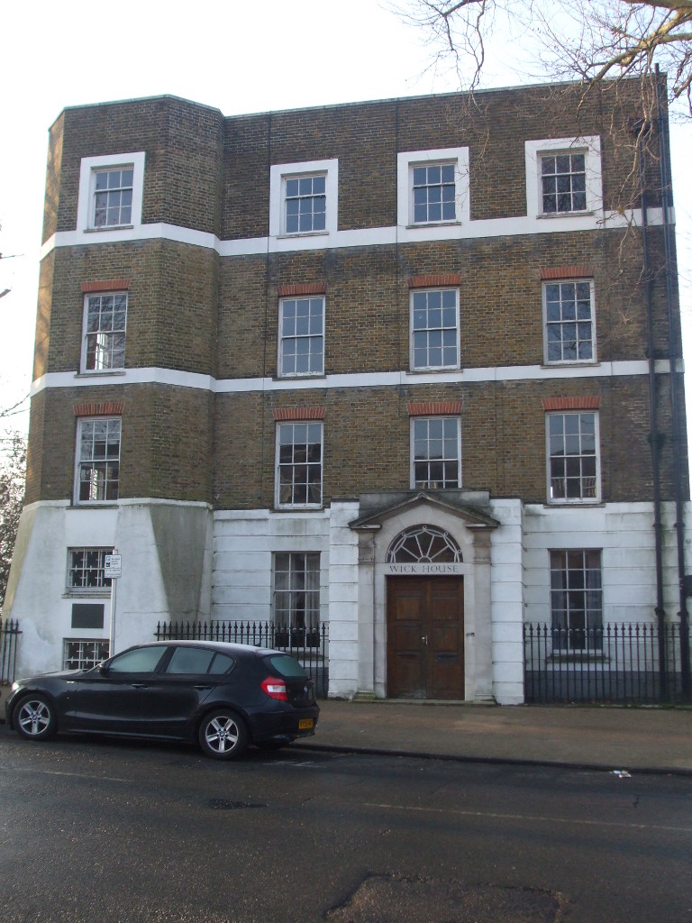
Wick House, Richmond Hill
Wick House is a Grade II listed house in Richmond, Greater London, located near the corner of Nightingale Lane and Richmond Hill in Surrey. The painter...

Doughty House
Doughty House is a large house on Richmond Hill in Richmond, London, England, built in the 18th century, with later additions. It has fine views down over...

The Wick
The Wick is a Grade I listed Georgian house in Richmond, Greater London, located at the corner of Nightingale Lane and Richmond Hill. The house, designed...

Grove Gardens Chapel
Grove Gardens Chapel is a Grade II listed building in Richmond Old Cemetery, in the London Borough of Richmond upon Thames. It was built in 1877 by Sir...
Downe House, Richmond Hill
Downe House is a Grade II listed house on Richmond Hill, in the London Borough of Richmond upon Thames, which has been occupied by playwright Richard Brinsley...

Richmond Hill, London
Richmond Hill in Richmond, London, is a hill that begins gently in its townside (north and north-east) through the former fields, orchards and vineyard...
Nearby Amenities
Located within 500m of 51.451701,-0.29285519Have you been to Bishop's Pond?
Leave your review of Bishop's Pond below (or comments, questions and feedback).