Werrington Lakes
Lake, Pool, Pond, Freshwater Marsh in Northamptonshire
England
Werrington Lakes

Werrington Lakes is a picturesque freshwater habitat located in Northamptonshire, England. Comprising of a lake, pool, pond, and freshwater marsh, this natural landscape offers a diverse range of flora and fauna.
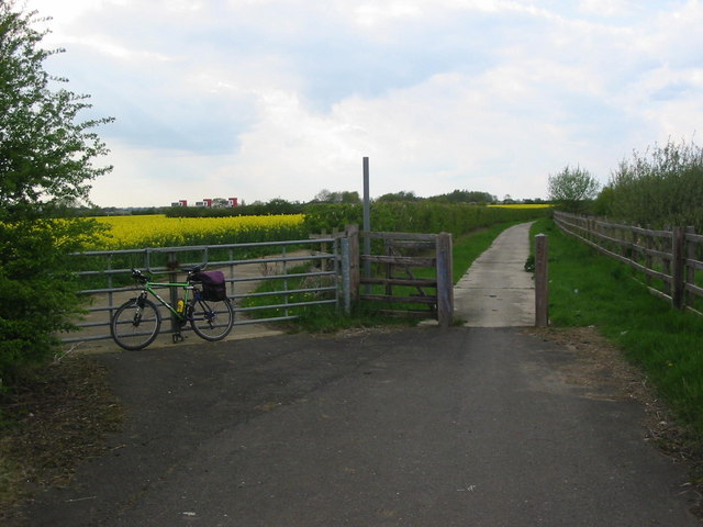
The main attraction of Werrington Lakes is the lake itself, which spans over an area of 10 hectares. It is surrounded by lush greenery, creating a serene and tranquil environment. The lake is home to various species of fish, including common carp, roach, and perch, making it a popular spot for fishing enthusiasts.
Adjacent to the lake is a smaller pool, which serves as a breeding ground for amphibians and other aquatic creatures. This pool provides a safe haven for several species of frogs, toads, and newts, and is a vital part of the local ecosystem.
The pond at Werrington Lakes is a haven for birdwatchers, as it attracts a wide variety of waterfowl. Species such as mallards, tufted ducks, and coots can be spotted here, especially during the migratory seasons. The surrounding vegetation provides nesting sites for these birds, making it an ideal breeding ground.
Lastly, the freshwater marsh completes the ecosystem at Werrington Lakes. This wetland area is characterized by its abundant reed beds, which provide shelter and food for a range of bird species. It is a habitat for reed warblers, sedge warblers, and various wading birds, making it a haven for bird enthusiasts.
Overall, Werrington Lakes is a scenic and diverse natural habitat that offers a range of recreational activities such as fishing, birdwatching, and nature walks. It serves as an important ecosystem for a variety of wildlife, making it a valuable asset to the Northamptonshire region.
If you have any feedback on the listing, please let us know in the comments section below.
Werrington Lakes Images
Images are sourced within 2km of 52.633496/-0.27627387 or Grid Reference TF1605. Thanks to Geograph Open Source API. All images are credited.


Werrington Lakes is located at Grid Ref: TF1605 (Lat: 52.633496, Lng: -0.27627387)
Division: Soke of Peterborough
Unitary Authority: Peterborough
Police Authority: Cambridgeshire
What 3 Words
///canine.decompose.lifelong. Near Peakirk, Cambridgeshire
Nearby Locations
Related Wikis
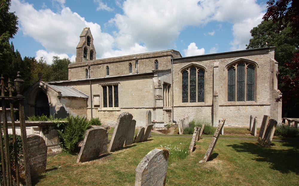
Peakirk
Peakirk is a village and civil parish in the Peterborough district, in the ceremonial county of Cambridgeshire, England. For local government purposes...
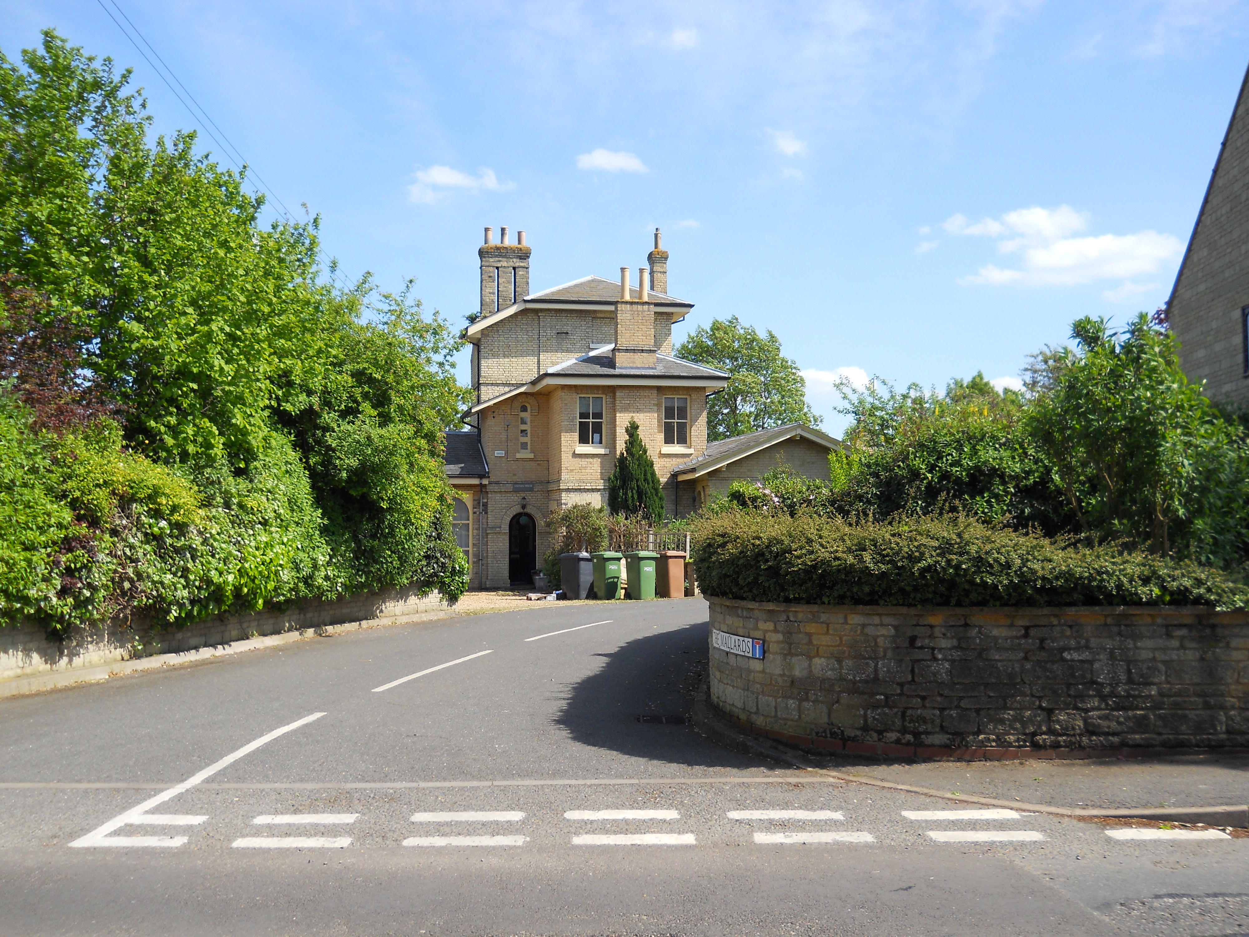
Peakirk railway station
Peakirk railway station served the parish of Peakirk in Cambridgeshire. The station building was converted into a private residence in the early 1990s...
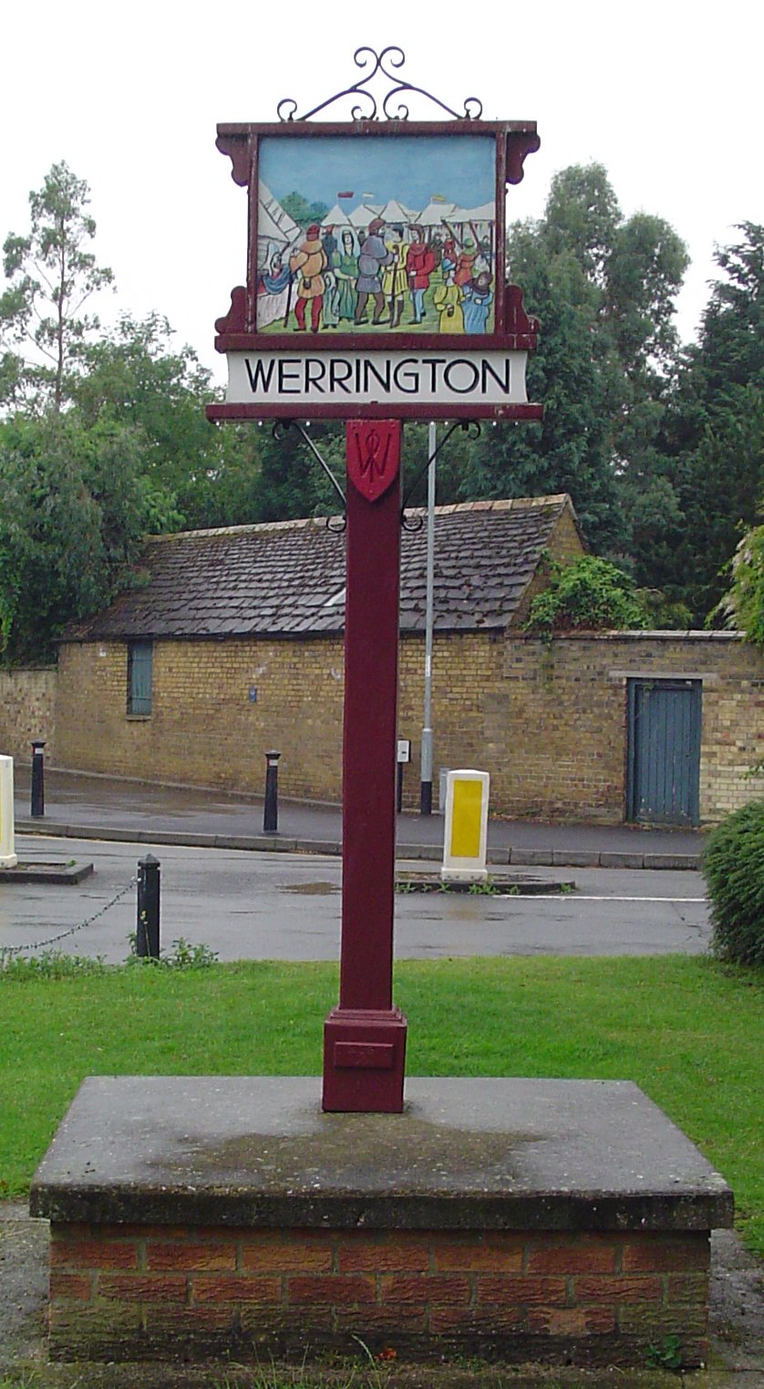
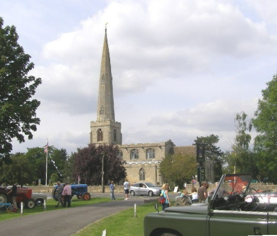
Werrington, Peterborough
Werrington is a residential area of the city of Peterborough, in the ceremonial county of Cambridgeshire, England. For electoral purposes it comprises...
Glinton, Cambridgeshire
Glinton is a village in the north of the City of Peterborough unitary authority area in Cambridgeshire, England. Historically in Northamptonshire, it has...
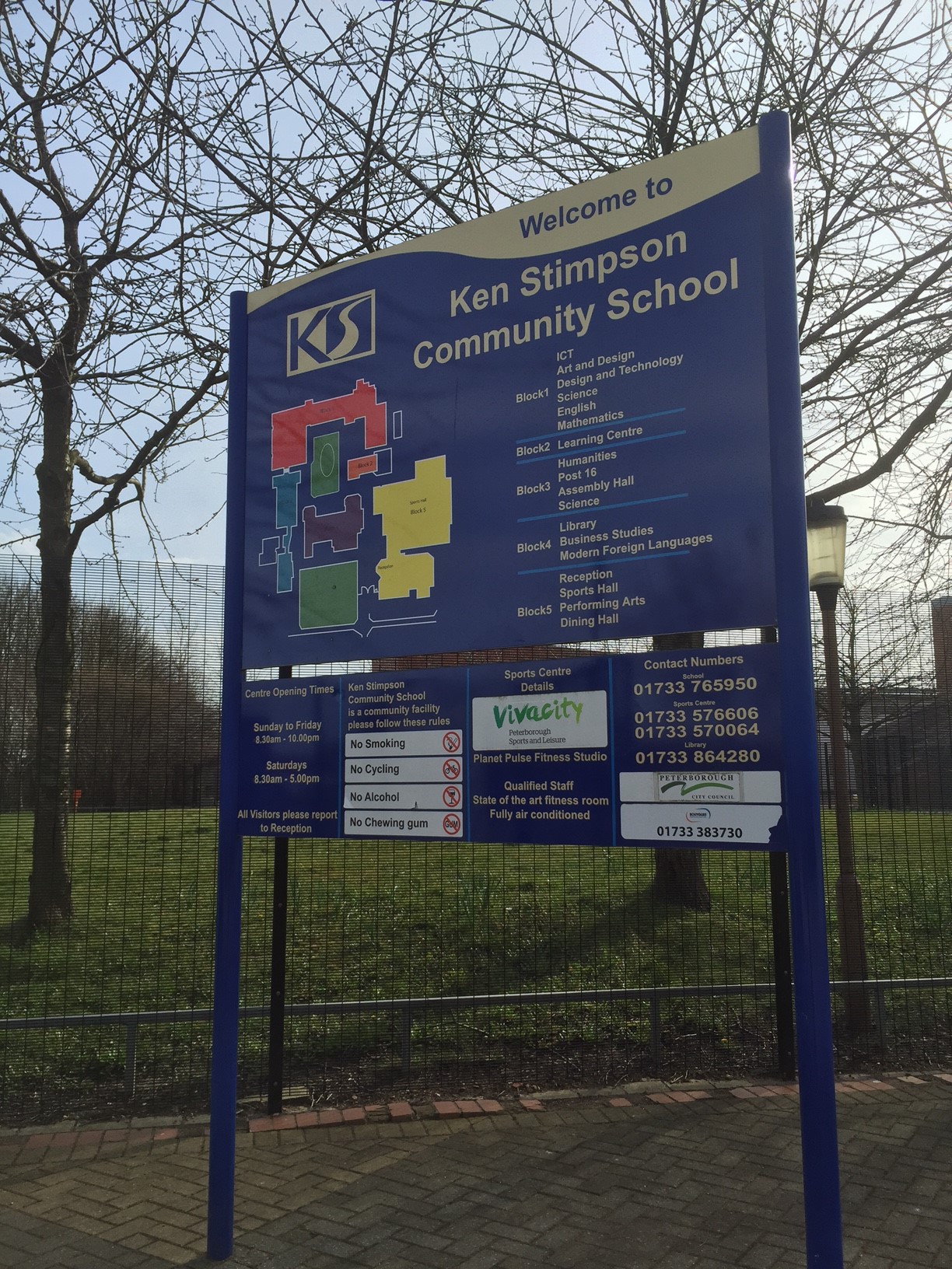
Ken Stimpson Academy
Ken Stimpson Academy is a co-educational secondary school and sixth form located in Peterborough in the English county of Cambridgeshire. The school is...

Arthur Mellows Village College
Arthur Mellows Village College is a secondary school in Glinton in the local authority of Peterborough. The college is an academy with a specialism in...
Northborough, Cambridgeshire
Northborough is a small village and civil parish in the Peterborough district, in the ceremonial county of Cambridgeshire, England. It has a pub, a shop...

Werrington Dive Under
Werrington Dive Under (also known as the Werrington Grade Separation) is a replacement dual track grade separated railway junction at Werrington Junction...
Nearby Amenities
Located within 500m of 52.633496,-0.27627387Have you been to Werrington Lakes?
Leave your review of Werrington Lakes below (or comments, questions and feedback).