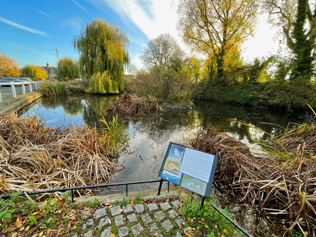
Larkins Pond

Lake, Pool, Pond, Freshwater Marsh in Hertfordshire North Hertfordshire

England

Larkins Pond

Entrance to Icknield Way on Hitchin Road The old Roman track crosses the road here.
Entrance to Icknield Way on Hitchin Road Credit: David Howard

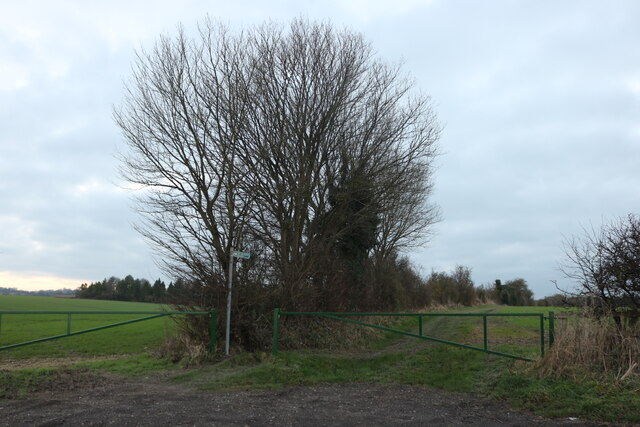
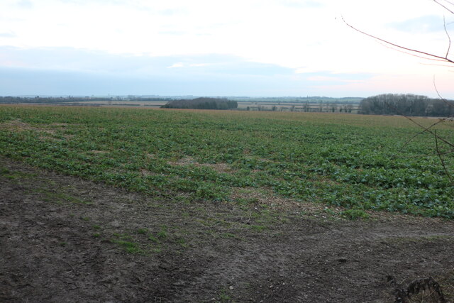
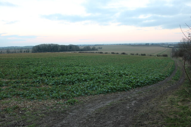
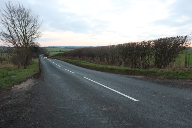
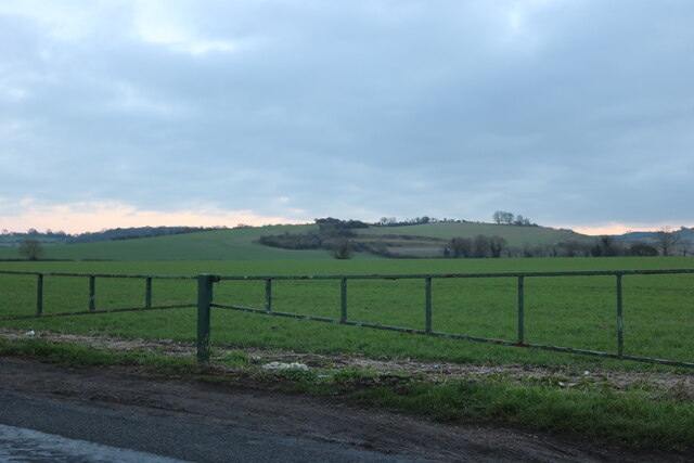
Larkins Pond, located in Hertfordshire, is a picturesque freshwater marsh that offers a serene and natural setting for visitors to enjoy. Spanning across a modest area, the pond is characterized by its crystal-clear water, lush vegetation, and diverse wildlife.

The pond itself is relatively shallow, with an average depth of around 2 meters, making it an ideal habitat for various aquatic plants and animals. The water is sourced from natural springs and rainfall, ensuring a constant flow and maintaining its high water quality throughout the year.

Surrounding the pond, a dense growth of reeds and other aquatic plants provides a habitat for a plethora of bird species, including swans, ducks, and herons. These birds can often be seen gracefully gliding across the water or nesting along the shoreline.

Larkins Pond also serves as a popular fishing spot for locals and visitors alike. The waters are home to a variety of freshwater fish species, such as perch, carp, and roach, attracting fishing enthusiasts from far and wide. Anglers can enjoy a peaceful day at the pond, taking in the tranquil surroundings while trying their luck at catching a prized fish.

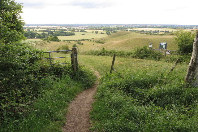
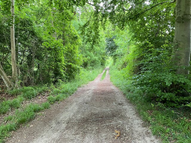
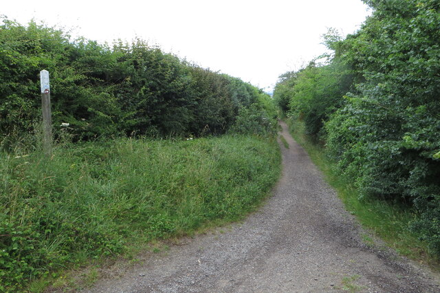
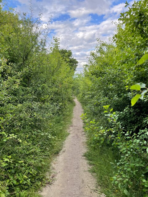
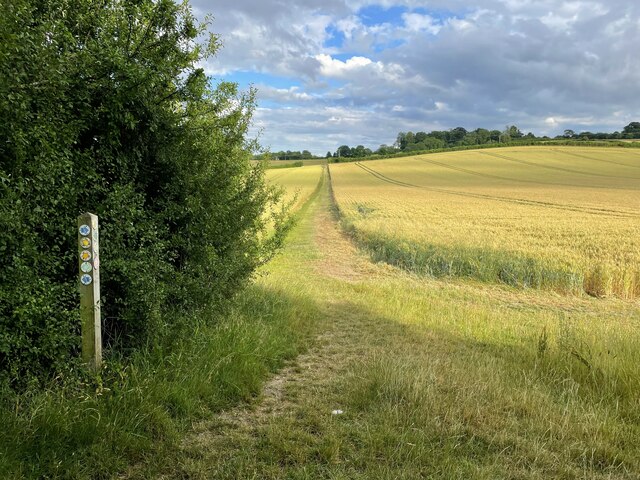
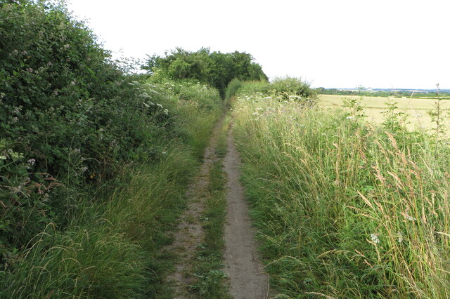
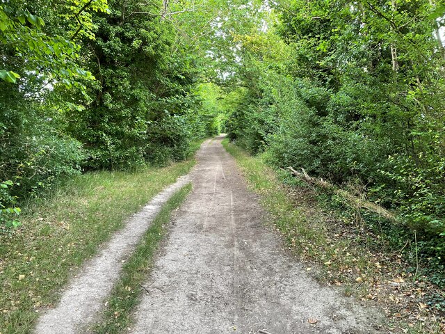
The pond is easily accessible, with well-maintained footpaths that allow visitors to walk around its perimeter. Several benches and picnic spots are scattered around, providing opportunities for relaxation and enjoying the scenic views.

Overall, Larkins Pond in Hertfordshire offers a delightful retreat for nature lovers, providing a haven for wildlife and a serene environment for recreational activities.

If you have any feedback on the listing, please let us know in the comments section below.

Larkins Pond Images

Images are sourced within 2km of 51.970035/-0.32764513 or Grid Reference TL1431. Thanks to Geograph Open Source API. All images are credited.

Entrance to Icknield Way on Hitchin Road The old Roman track crosses the road here.
Entrance to Icknield Way on Hitchin Road
The old Roman track crosses the road here.
Field by Hitchin Road, Pirton
Hitchin Road, Pirton
Hitchin Road, Pirton Looking across the Chiltern Hills
Hitchin Road, Pirton
Looking across the Chiltern Hills
View from Shillington Road, Pirton
Field by Shillington Road, Pirton
Shillington Road, Pirton
Field by Priors Hill, Pirton
Chiltern Way coming out of the woods
Wood Lane going to Pirton
Icknield Way takes to Wood Lane
Tingley Wood from the Icknield Way
Wood Lane on its way to Pirton
Footpath going to High Down One of many at this point according to the marker post
Footpath going to High Down
One of many at this point according to the marker post
Icknield on its Way to Pirton
Wood Lane approaching Pirton
Blacksmith's Pond Perton
Show me another place!

Larkins Pond is located at Grid Ref: TL1431 (Lat: 51.970035, Lng: -0.32764513)

Administrative County: Hertfordshire

District: North Hertfordshire

Police Authority: Hertfordshire

What 3 Words

///mushroom.pinging.thrashing. Near Pirton, Hertfordshire

Related Wikis

Pirton, Hertfordshire

Pirton is a large village and civil parish three miles northwest of Hitchin in Hertfordshire, England. The population of the civil parish at the 2011 census...

Knocking Hoe

Knocking Hoe is a 7.7 hectare National Nature Reserve and biological Site of Special Scientific Interest near Pegsdon in Bedfordshire. It is mentioned...

Oughtonhead Common

Oughtonhead Common is a 17.4 hectare Local Nature Reserve in the Westmill district of Hitchin, Hertfordshire. It is owned and managed by North Hertfordshire...

Holwell, Hertfordshire

Holwell is a small village and a civil parish two miles north of Hitchin in Hertfordshire, England, near the Bedfordshire border. The parish was historically...

Shillington Hoard

The Shillington Hoard is a Roman coin hoard found in Shillington, Bedfordshire in 1998. It consisted of 127 gold aurei, the latest of which was from 79...

Oughtonhead Lane

Oughtonhead Lane is a 0.9-hectare (2.2-acre) geological Site of Special Scientific Interest in Hitchin in Hertfordshire. The local planning authority is...

Hitchin Yeshiva

Yeshivas Toras Chessed is a Jewish yeshiva, or rabbinical school. Its curriculum focuses on Torah study, emphasizing the study of Talmud and Jewish law...

Hitchin Oughton

Hitchin Oughton is one of the five electoral wards in Hitchin, England. It contains the Westmill estate and is named after the River Oughton. It invariably...

Related Videos

Indian Boy In London. #travelvlog #london #lavender #travel #shorts #youtubeshorts #youtube

Indian Boy In London. #travelvlog #london #lavender #travel #shorts #youtubeshorts #youtube.

A super fast romp through Oughtonhead Common Hitchin Hertfordshire

Oughtonhead Common is a Local Nature Reserve with a wide variety of wildlife habitats. Walk alongside the River Oughton which ...

A walk from Pirton to Wellbury ( Herts ) via Highdown with a few flurries of late March snow 🥶

This is another pleasant walk from the Hertfordshire village of Pirton to Wellbury via Highdown, then return via Wood Lane back to ...

Nearby Amenities

Located within 500m of 51.970035,-0.32764513
Pirton
Created By: POI Editor
Place: village
Source: npe
Wikidata: Q7198115
Lat/Long: 51.9723573/-0.3294462
Fixme: This road is signposted as Hitchin road (SE of here) and extends NW from here to Prior's Hill. Don't know how far it gets toward Hitchin before it changes its name to something else.
Lat/Long: 51.9688191/-0.3319916
Barrier: kissing_gate
Foot: designated
Lat/Long: 51.9713428/-0.3320225
Bus Stop
Motte & Bailey PH
Fixme: This BS has a shelter. There is also a customary BS the other side of the road
Local Ref: NR
Naptan AtcoCode: 210021102700
Naptan Bearing: N
Naptan CommonName: Motte & Bailey PH
Naptan Indicator: nr
Naptan Landmark: Unknown
Naptan NaptanCode: hrtgjtwg
Naptan ShortCommonName: NA
Naptan Street: Crabtree Lane
Naptan Verified: no
Source: naptan_import
Lat/Long: 51.9710536/-0.3340531
Fox PH
Local Ref: NR
Naptan AtcoCode: 210021102720
Naptan Bearing: SE
Naptan BusStopType: CUS
Naptan CommonName: Fox PH
Naptan Crossing: opp Crab Tree Lane
Naptan Indicator: nr
Naptan Landmark: opp Crab Tree Lane
Naptan NaptanCode: hrtgjtmw
Naptan ShortCommonName: NA
Naptan Street: High Street
Naptan Verified: no
Source: naptan_import
Lat/Long: 51.9727892/-0.3323742
High Street
Naptan AtcoCode: 210021102740
Naptan Bearing: NE
Naptan BusStopType: CUS
Naptan CommonName: High Street
Naptan Crossing: opp Hambridge Lane
Naptan Indicator: NE-bound
Naptan Landmark: opp Hambridge Lane
Naptan NaptanCode: hrtgjtjp
Naptan ShortCommonName: NA
Naptan Street: Royal Oak Lane
Naptan Verified: no
Source: naptan_import
Lat/Long: 51.9723637/-0.328766
High Street
Naptan AtcoCode: 210021105520
Naptan Bearing: SW
Naptan BusStopType: CUS
Naptan CommonName: High Street
Naptan Crossing: Hambridge Lane
Naptan Indicator: SW-bound
Naptan Landmark: Hambridge Lane
Naptan NaptanCode: hrtgjmtj
Naptan ShortCommonName: NA
Naptan Street: Royal Oak Lane
Naptan Verified: no
Source: naptan_import
Lat/Long: 51.9722732/-0.3287257
Fox PH
Naptan AtcoCode: 210021105560
Naptan Bearing: NW
Naptan BusStopType: CUS
Naptan CommonName: Fox PH
Naptan Crossing: Crab Tree Lane
Naptan Indicator: opp
Naptan Landmark: Crab Tree Lane
Naptan NaptanCode: hrtgjmtp
Naptan ShortCommonName: NA
Naptan Street: High Street
Naptan Verified: no
Source: naptan_import
Lat/Long: 51.9727033/-0.3323313
Post Box
Collection Plate: CP5
Collection Times: Mo-Fr 17:00; Sa 09:45
Note: Two-faced composite postbox. A pair of postboxes (different numbers) of different vintages on the "inside" and "outside" of a dedicated brick pillar !
Post Box Mounting: brick_pillar
Post Box Type: wall
Ref: SG5 1002
Royal Cypher: VR
Royal Cypher Wikidata: Q33102356
Lat/Long: 51.9725462/-0.3301826
Waste Basket
Waste: dog_excrement
Lat/Long: 51.9715806/-0.3295394
Barrier: chicane
Lat/Long: 51.9708714/-0.3291189
Waste Basket
Lat/Long: 51.9725962/-0.3301748
Waste Basket
Waste: dog_excrement
Lat/Long: 51.9725904/-0.3301277
Barrier: kissing_gate
Lat/Long: 51.9690554/-0.3317566
Barrier: kissing_gate
Lat/Long: 51.970247/-0.3291628
Post Box
Collection Plate: CP7
Collection Times: Mo-Fr 17:00; Sa 09:45
Note: CP7 lamp box embedded in an existing wall
Post Box Type: wall
Ref: SG5 102
Royal Cypher: EIIR
Royal Cypher Wikidata: Q33102113
Lat/Long: 51.9703616/-0.3339651
Pub
Motte and Bailey
Addr City: Pirton
Addr Housenumber: 1
Addr Postcode: SG5 3QD
Addr Street: Great Green
Operator: Pubmaster
Website: http://themotteandbaileypirton.com/
Lat/Long: 51.9710989/-0.3338321
Barrier: kissing_gate
Foot: designated
Lat/Long: 51.971598/-0.329546
Post Box
Collection Plate: CP7
Collection Times: Mo-Fr 17:00; Sa 09:45
Note: Two-faced composite postbox. A pair of postboxes (different numbers) of different vintages on the "inside" and "outside" of a dedicated brick pillar !
Post Box Mounting: brick_pillar
Post Box Type: wall
Ref: SG5 1001
Royal Cypher: GVIR
Royal Cypher Wikidata: Q33102169
Lat/Long: 51.9725608/-0.3301841
Post Office
Pirton Village Stores
Addr City: Hitchin
Addr County: Hertfordshire
Addr Housename: Pirton Post Office
Addr Housenumber: 63-65
Addr Postcode: SG5 3PT
Addr Street: High Street
Addr Suburb: Pirton
Addr Village: Pirton
Alt Name: Pirton Post Office
Fhrs Id: 961135
Opening Hours Post Office: Mo,Tu,Th,Fr 09:00-13:00,14:00-17:30; We,Sa 09:00-13:00
Ref Pol Id: 830
Shop: convenience
Source Addr: FHRS Open Data
Source Opening Hours Post Office: pol_branch_list_2018-02
Lat/Long: 51.9725773/-0.3302721
Pub
The Fox
Addr City: Hitchin
Addr County: Hertfordshire
Addr Housenumber: 37
Addr Postcode: SG5 3PS
Addr Street: High Street
Addr Suburb: Pirton
Fhrs Id: 961137
Fixme Addr3: Pirton
Fixme Addr4: Hertfordshire
Source Addr: FHRS Open Data
Wikidata: Q26493796
Lat/Long: 51.9728358/-0.3317007
Walnut Tree Farm
Landuse: farmland
Lat/Long: 51.9695815/-0.3300531
Bench
Lat/Long: 51.9720844/-0.3290867
Barrier: kissing_gate
Lat/Long: 51.9697212/-0.330132
Man Made: maypole
Source: observation
Lat/Long: 51.9708317/-0.3341488
Bench
Backrest: yes
Lat/Long: 51.9704822/-0.3264418
Bench
Backrest: yes
Lat/Long: 51.9705161/-0.3257492
Bench
Backrest: yes
Lat/Long: 51.9722914/-0.3298127
Historic: memorial
Memorial: war_memorial
Lat/Long: 51.9721914/-0.3316231
Material: wood
Operator: UK Power Networks
Power: pole
Lat/Long: 51.9685243/-0.3324196
Material: wood
Operator: UK Power Networks
Power: pole
Lat/Long: 51.9675757/-0.3334683
Bench
Backrest: yes
Source: observation
Lat/Long: 51.9705198/-0.3256192
Bench
Backrest: yes
Source: observation
Lat/Long: 51.9705177/-0.3256752
Bench
Backrest: yes
Source: observation
Lat/Long: 51.9704915/-0.3262961
Motte & Bailey
Access: yes
Historic: archaeological_site
Lat/Long: 51.9711678/-0.3322904
Public Bookcase
Public Bookcase Type: reading_box
Lat/Long: 51.9727976/-0.3324578
The data included in this document is from www.openstreetmap.org. The data is made available under ODbL.

Have you been to Larkins Pond?

Leave your review of Larkins Pond below (or comments, questions and feedback).