Hammer Pond
Lake, Pool, Pond, Freshwater Marsh in Sussex Horsham
England
Hammer Pond
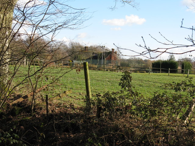
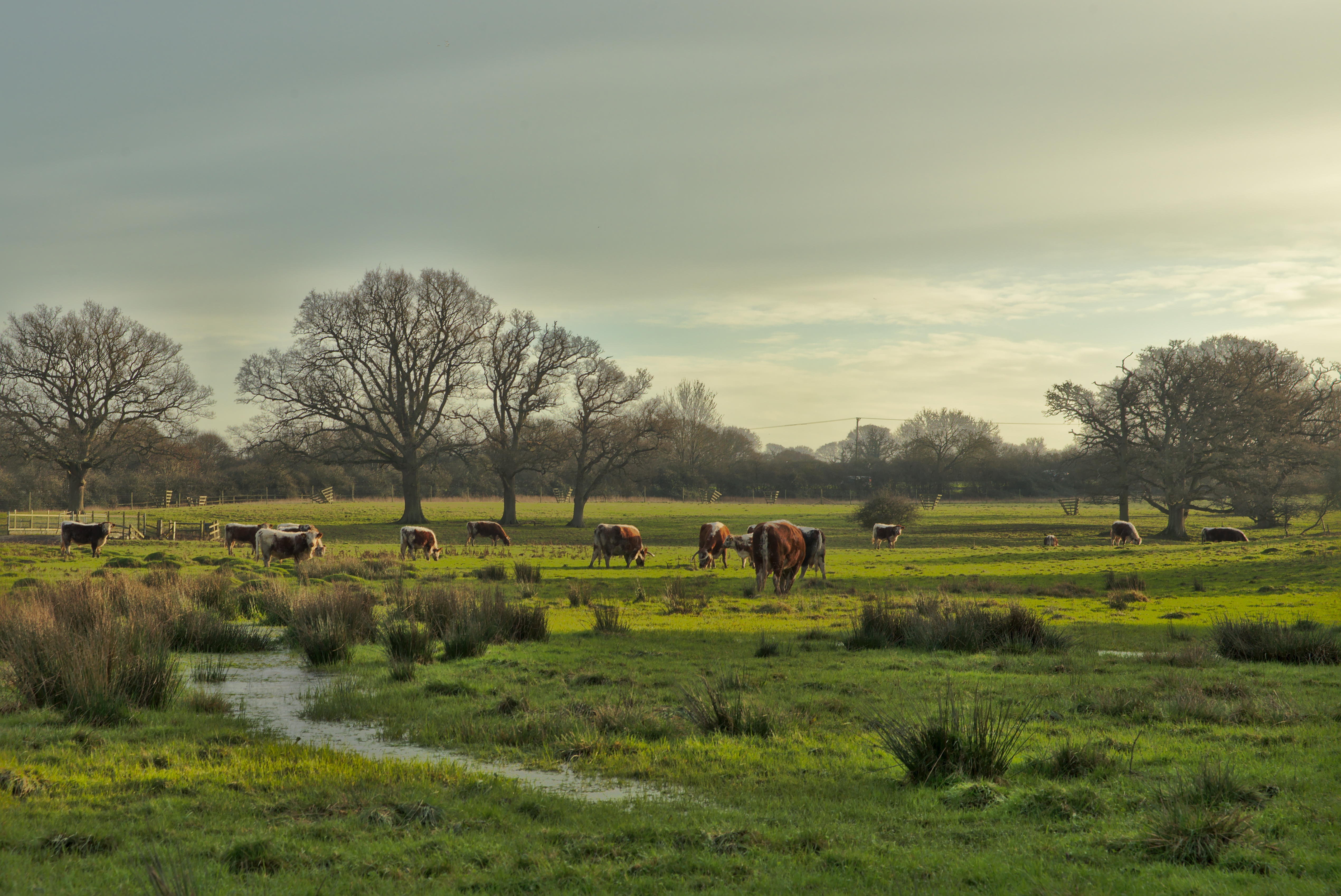
Hammer Pond is a picturesque body of water located in the county of Sussex, England. With its tranquil surroundings and natural beauty, it serves as a popular attraction for locals and tourists alike. Spanning an area of approximately 40 acres, Hammer Pond offers a diverse ecosystem consisting of a lake, pool, pond, and freshwater marsh.
The main feature of Hammer Pond is its expansive lake, which provides a serene setting for boating and fishing activities. The calm waters reflect the surrounding lush greenery, creating a soothing ambiance for visitors. The lake is home to various species of fish, including carp, pike, and roach, making it a haven for anglers seeking a rewarding catch.
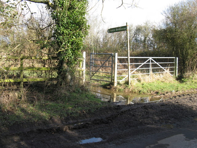
Adjacent to the lake is a pool, a smaller water body that is connected to the main body of water. This pool serves as a peaceful spot for birdwatching enthusiasts, as it attracts a variety of avian species throughout the year. With its reed beds and marshy areas, it provides a vital habitat for waterfowl, such as ducks, swans, and herons.
A smaller pond within the vicinity of Hammer Pond adds to its charm. This pond is surrounded by a verdant landscape, making it an ideal spot for picnics and leisurely walks. Its calm waters provide a serene atmosphere, perfect for relaxation and reflection.
Moreover, Hammer Pond is also home to a freshwater marsh. This marshland plays a crucial role in maintaining the ecological balance of the area, providing a habitat for numerous plant and animal species. It is a haven for wetland plants, including water lilies, reeds, and various grasses.
In conclusion, Hammer Pond in Sussex is a tranquil haven consisting of a lake, pool, pond, and freshwater marsh. Its diverse ecosystem and picturesque surroundings make it a must-visit destination for nature lovers and those seeking a peaceful retreat.
If you have any feedback on the listing, please let us know in the comments section below.
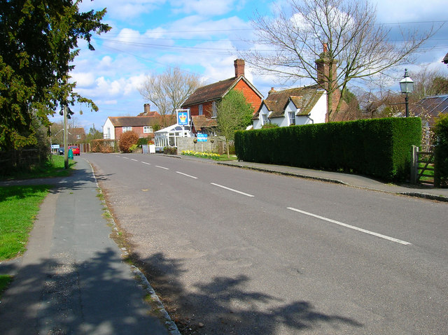
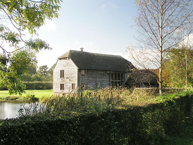
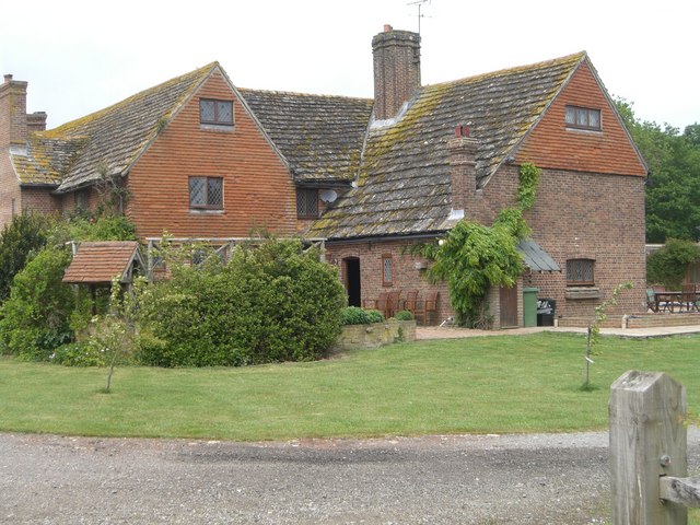
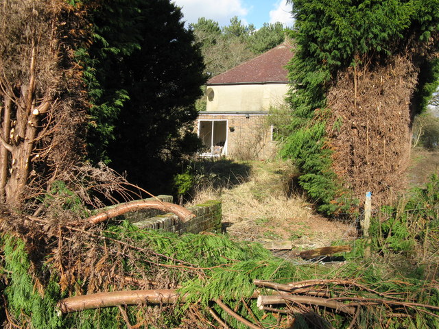
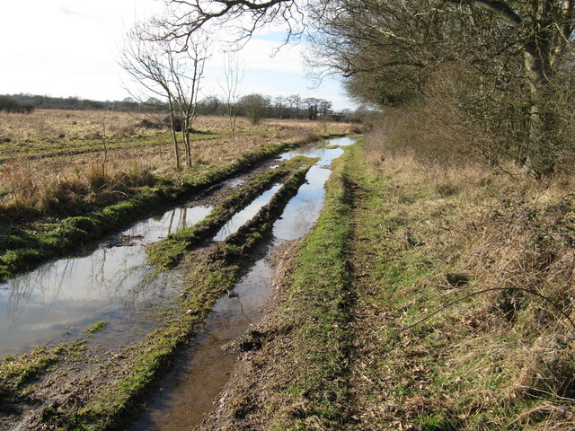
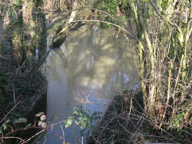
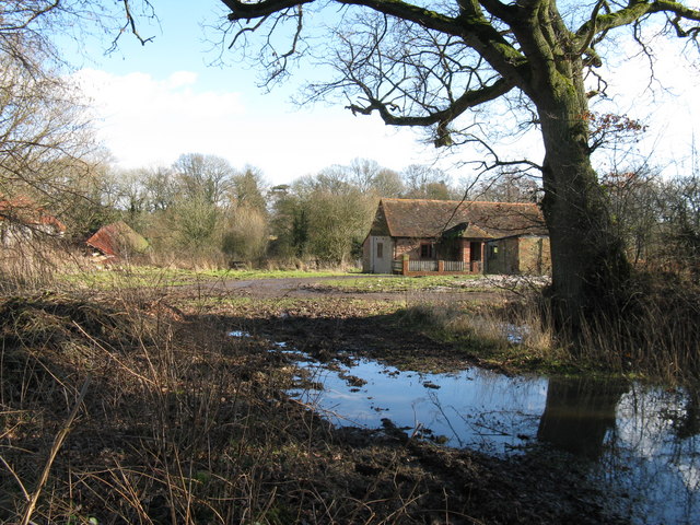
Hammer Pond Images
Images are sourced within 2km of 50.974766/-0.36874739 or Grid Reference TQ1420. Thanks to Geograph Open Source API. All images are credited.


Hammer Pond is located at Grid Ref: TQ1420 (Lat: 50.974766, Lng: -0.36874739)
Administrative County: West Sussex
District: Horsham
Police Authority: Sussex
What 3 Words
///mush.passively.marine. Near Partridge Green, West Sussex
Nearby Locations
Related Wikis

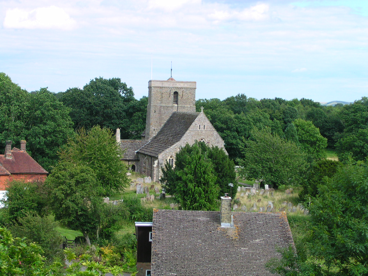
St Mary's Church, Shipley
The Church of St Mary the Virgin is an Anglican church in the village of Shipley, in West Sussex, England. It is in the Diocese of Chichester. Built in...
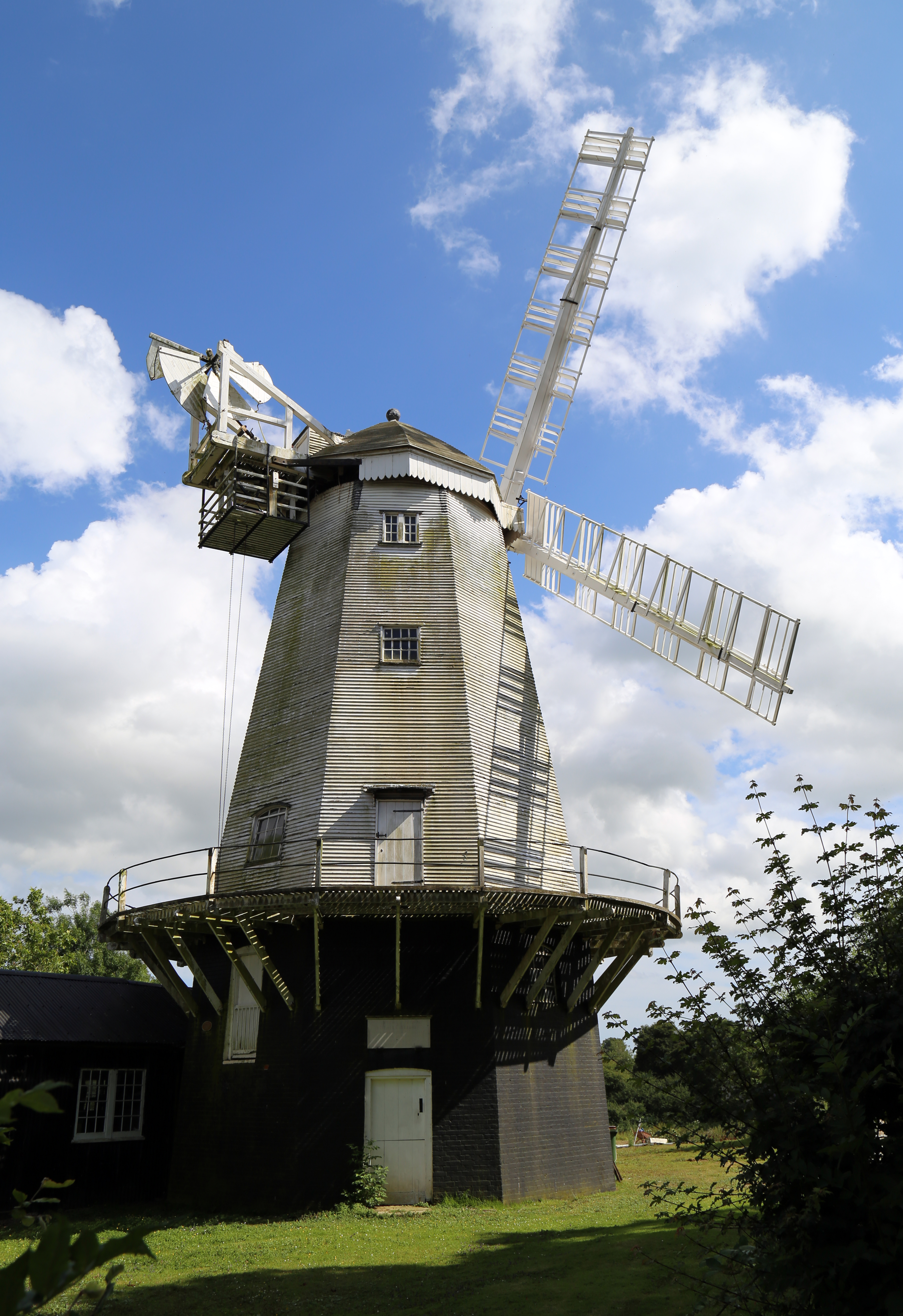
King's Mill, Shipley
King's Mill or Vincent's Mill, Shipley, West Sussex, England, is a smock mill built in 1879. == History == King's Mill was built in 1879 for Friend Martin...
Shipley, West Sussex
Shipley is a village and civil parish in the Horsham District of West Sussex, England. It lies just off the A272 road 6 miles (10 kilometres) north-east...

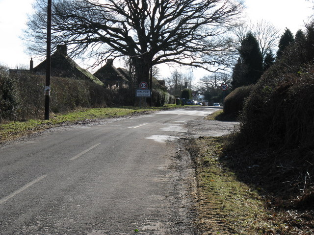
Dial Post
Dial Post is a village in the Horsham District of West Sussex, England. The civil parish, where the lowest level political meetings are held, is West Grinstead...

Knepp Castle
The medieval Knepp Castle (sometimes referred to as 'Old Knepp Castle', to distinguish it from the nearby 19th-century mansion) is to the west of the village...
Knepp Wildland
Knepp Wildland is the first major lowland rewilding project in England. It comprises 1,400 hectares (3,500 acres; 5.4 square miles) of former arable and...

Brightling Park
Brightling Park (previously known as Rose Hill) is a country estate which lies in the parishes of Brightling and Dallington in the Rother district of East...

St George's Church, West Grinstead
St George's Church is an Anglican church in West Grinstead, West Sussex, England. It is in the Diocese of Chichester, occupying a rural position in the...
Nearby Amenities
Located within 500m of 50.974766,-0.36874739Have you been to Hammer Pond?
Leave your review of Hammer Pond below (or comments, questions and feedback).