Great Wyrley
Settlement in Staffordshire South Staffordshire
England
Great Wyrley
Great Wyrley is a small village located in the district of South Staffordshire, within the county of Staffordshire in England. It is situated approximately 3 miles northwest of Cannock and 7 miles northeast of Wolverhampton.
With a population of around 6,000 residents, Great Wyrley is a close-knit community that offers a peaceful countryside setting. The village is known for its picturesque landscapes, surrounded by fields, woodlands, and farmlands, making it an ideal location for nature lovers and outdoor enthusiasts.
Great Wyrley has a rich history that dates back to the Domesday Book in 1086, where it was recorded as 'Wyrleye.' Over the years, the village has evolved, and today it offers a mix of both modern and historic architecture. The All Saints Church, a Grade II listed building, stands as a prominent landmark, showcasing its medieval origins.
The village boasts a range of amenities, including a variety of local shops, pubs, and restaurants, providing residents with essential services and a sense of community. Great Wyrley also benefits from several schools, both primary and secondary, ensuring educational opportunities for the younger population.
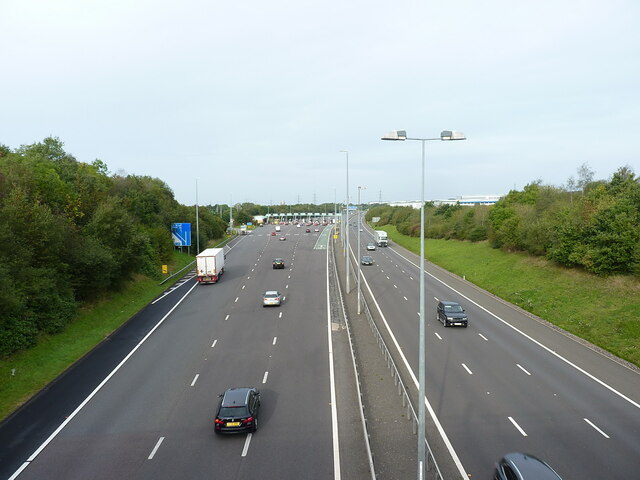
Transportation is convenient, with easy access to the M6 motorway and nearby train stations. This allows residents to easily commute to larger towns and cities for work or leisure activities.
Overall, Great Wyrley is a charming village that offers a peaceful countryside lifestyle with a strong sense of community, making it an attractive place to live for those seeking a tranquil and picturesque setting.
If you have any feedback on the listing, please let us know in the comments section below.
Great Wyrley Images
Images are sourced within 2km of 52.660883/-2.013038 or Grid Reference SJ9907. Thanks to Geograph Open Source API. All images are credited.


Great Wyrley is located at Grid Ref: SJ9907 (Lat: 52.660883, Lng: -2.013038)
Administrative County: Staffordshire
District: South Staffordshire
Police Authority: Staffordshire
What 3 Words
///echo.treat.hill. Near Great Wyrley, Staffordshire
Nearby Locations
Related Wikis

Great Wyrley
Great Wyrley is a village and civil parish in the South Staffordshire district of Staffordshire, England. It forms a built up area with nearby Cheslyn...

Wolverhampton Sporting C.F.C.
Wolverhampton Sporting Community Football Club is a football club originally formed in Wolverhampton, but currently based in Great Wyrley, the club competes...
Great Wyrley Academy
Great Wyrley Academy (formerly Great Wyrley High School) is a co-educational secondary school and sixth form located in Great Wyrley in the English county...
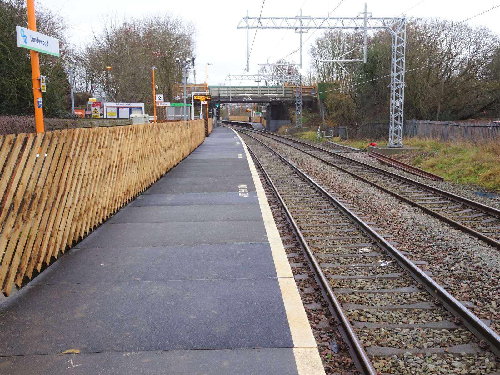
Landywood railway station
Landywood railway station is situated in the village of Landywood in Staffordshire, England. As well as Landywood, the station also serves the adjacent...

Landywood
Landywood is a village in the South Staffordshire district of Staffordshire, England. Landywood is part of the South Staffordshire ward named "Great Wyrley...
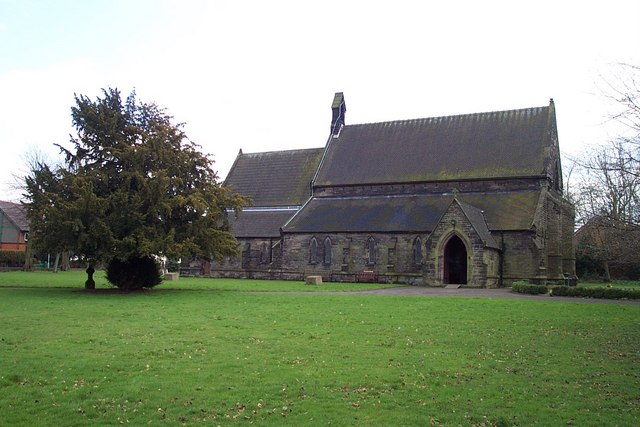
St Mark's Church, Great Wyrley
St Mark's is the parish church of Great Wyrley, South Staffordshire, England. It is known for having had the first South Asian vicar of any Church of England...
Wyrley and Cheslyn Hay railway station
Wyrley and Cheslyn Hay railway station served the villages of Great Wyrley and Cheslyn Hay in Staffordshire, England, between 1858 and 1965. == History... ==

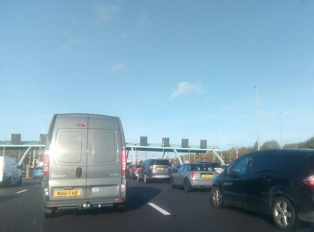
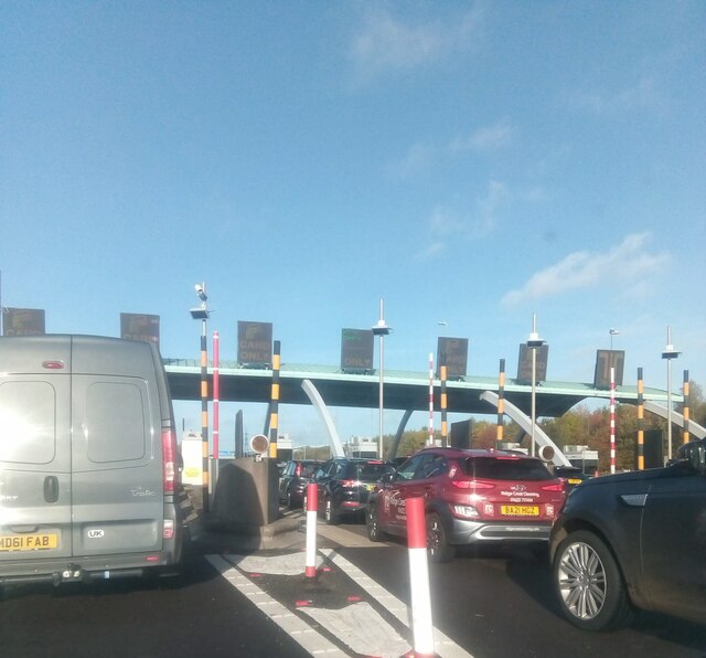
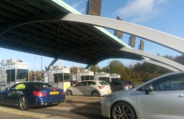
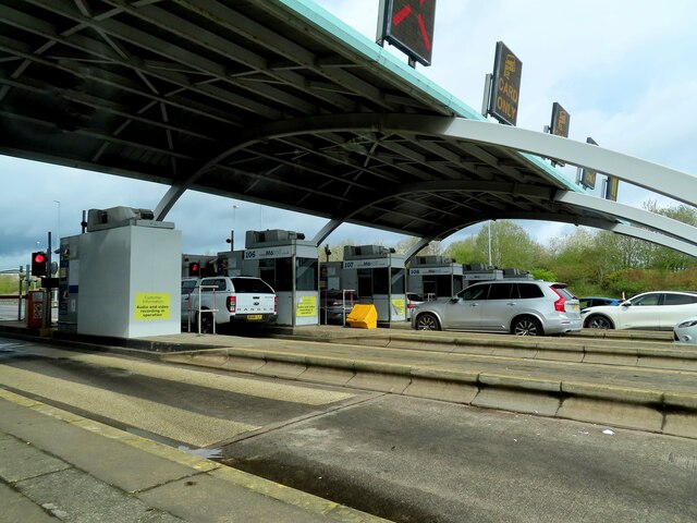
Churchbridge Junction
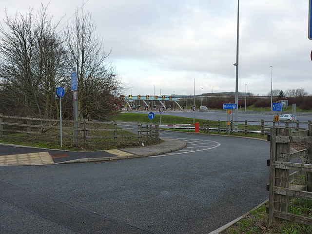
Churchbridge is a road junction situated between Churchbridge and Bridgtown in Staffordshire. It links the A5, A34, and A460 to the adjacent M6 Toll. The...
Nearby Amenities
Located within 500m of 52.660883,-2.013038Have you been to Great Wyrley?
Leave your review of Great Wyrley below (or comments, questions and feedback).