Sivyers Lake
Lake, Pool, Pond, Freshwater Marsh in Middlesex Spelthorne
England
Sivyers Lake
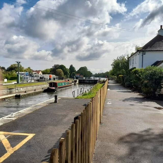
Sivyers Lake is a small freshwater lake located in Middlesex, England. Situated in a peaceful and picturesque setting, it offers a tranquil retreat for nature enthusiasts and visitors seeking a serene environment.
Covering an area of approximately [insert number] hectares, Sivyers Lake is surrounded by lush greenery and diverse wildlife. It is home to a variety of aquatic plants such as lilies, reeds, and watermilfoils, which provide a beautiful natural backdrop to the lake. The lake's crystal-clear waters support a thriving ecosystem of fish, including carp, roach, and perch, making it a popular destination for anglers.
The lake's shallow depth and calm waters make it an ideal spot for recreational activities such as kayaking, canoeing, and paddleboarding. Fishing enthusiasts can enjoy a peaceful day by the lake, trying their luck at catching a variety of species.
Sivyers Lake is not only a haven for wildlife but also a valuable habitat for numerous bird species. Visitors can spot a range of waterfowl, including ducks, swans, and herons, as well as various songbirds that inhabit the surrounding woodlands.
Nature lovers can explore the nearby freshwater marshes, which are home to an array of wetland plants and animals. These marshes provide a vital habitat for several species of birds, insects, and amphibians.
Overall, Sivyers Lake in Middlesex offers a serene and picturesque environment, making it a perfect destination for those seeking a peaceful retreat, engaging in outdoor activities, or observing the diverse wildlife that calls this freshwater ecosystem home.
If you have any feedback on the listing, please let us know in the comments section below.
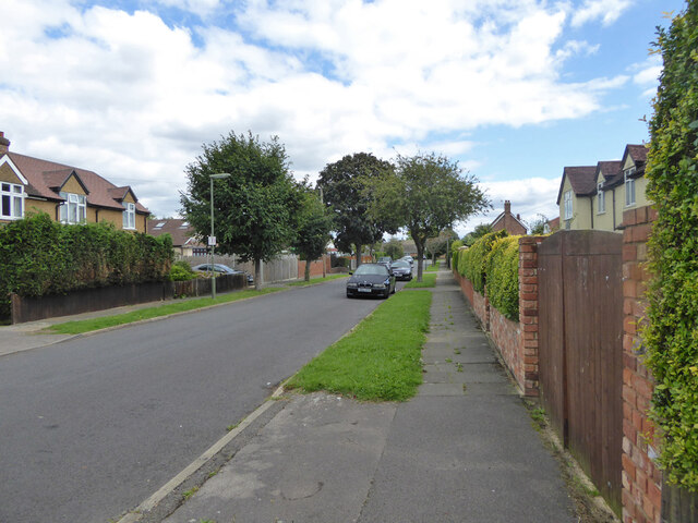
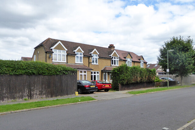
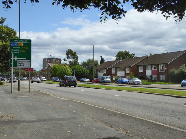
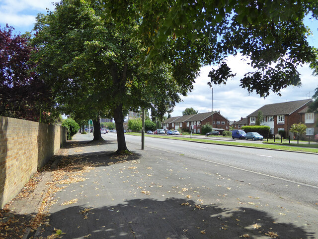
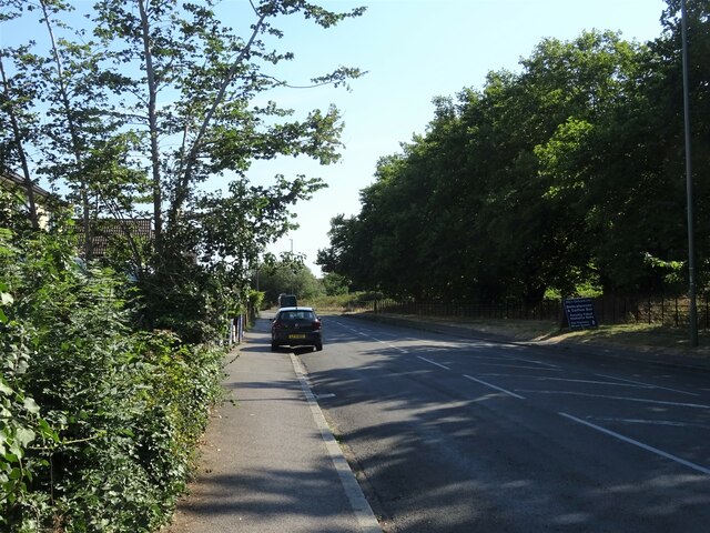
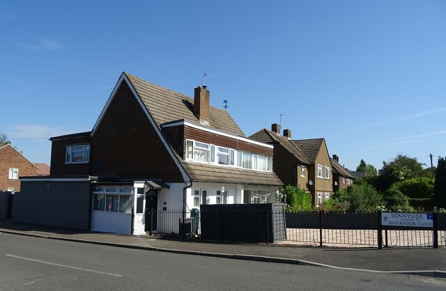
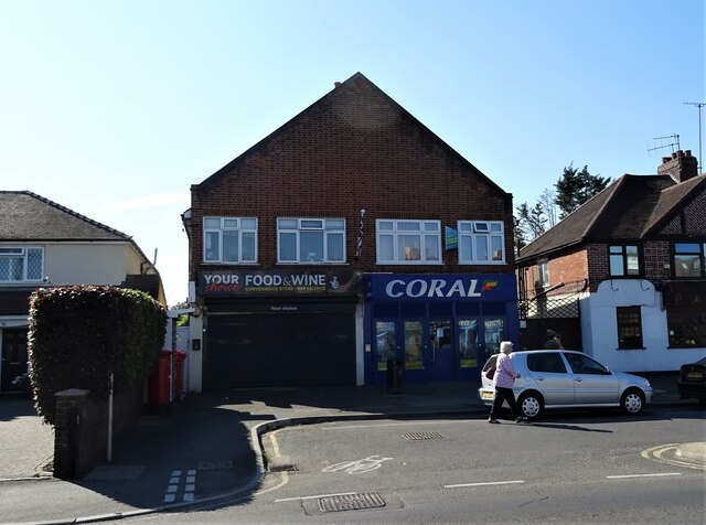
Sivyers Lake Images
Images are sourced within 2km of 51.406871/-0.42628679 or Grid Reference TQ0968. Thanks to Geograph Open Source API. All images are credited.


Sivyers Lake is located at Grid Ref: TQ0968 (Lat: 51.406871, Lng: -0.42628679)
Administrative County: Surrey
District: Spelthorne
Police Authority: Surrey
What 3 Words
///wake.rash.ashes. Near Sunbury-on-Thames, Surrey
Nearby Locations
Related Wikis
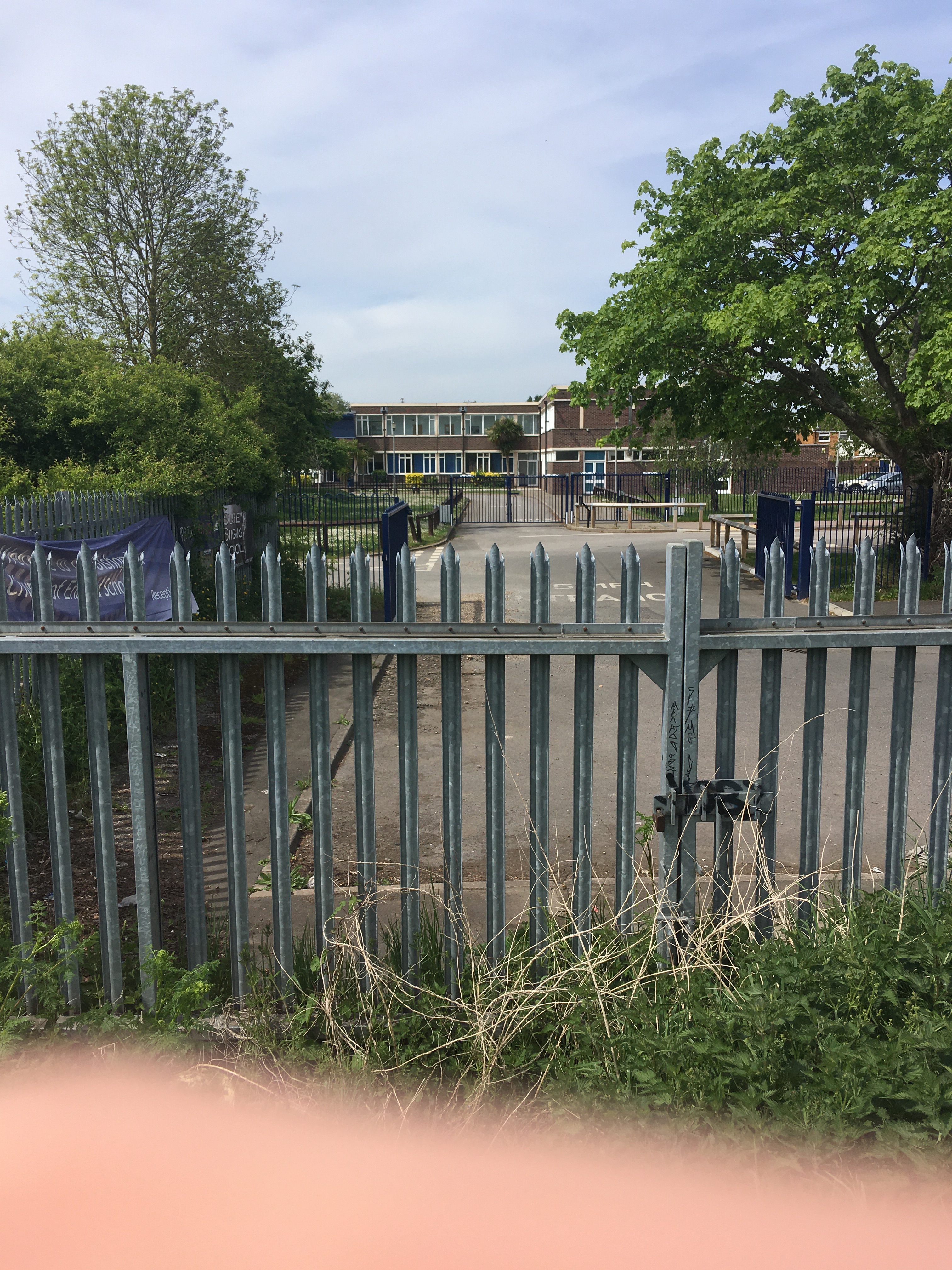
The Bishop Wand Church of England School
The Bishop Wand Church of England School is a secondary school with academy status located in Sunbury-on-Thames, England. The school has been co-educational...

Sunbury-on-Thames Urban District
Sunbury on Thames Urban District, also known as Sunbury Urban District, was a local government district from 1894 to 1974 comprising the town and parish...
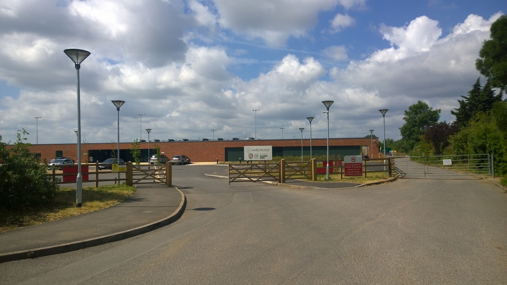
Hazelwood (rugby ground)
The Hazelwood Centre is a rugby union ground and sports facility in Sunbury-on-Thames in the English county of Surrey. The facility served as the home...
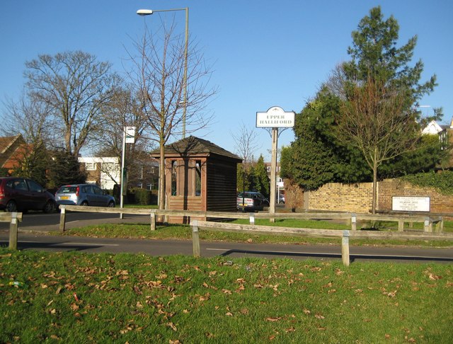
Upper Halliford
Upper Halliford is a small village in the Borough of Spelthorne, Surrey, England approximately 24 km (15 mi) west of central London. It is part of the...

Upper Halliford railway station
Upper Halliford railway station serves the village of Upper Halliford in Surrey, England. It is 17 miles 34 chains (28.0 km) down the line from London...

Institute of Telecommunications Professionals
The Institute of Telecommunications Professionals (ITP) is a membership organisation for professionals in the telecommunications industry, based in the...

Sunbury Manor School
Sunbury Manor School is a secondary academy school in Sunbury-on-Thames, in Surrey, England. == Admissions == The school educates an overwhelmingly number...

Church of St Mary the Virgin, Sunbury-on-Thames
The Church of St Mary the Virgin is a Grade II* listed church of the Church of England in the village of Sunbury next to the river Thames. == History... ==
Related Videos
Move ya body girl | #travel #shorts @ BP Sunbury| London
england #uk #travel #shortsvideo #youtubeshorts #beautiful #birds.


Don't be busy, be Productive| beautiful premise| #youtubeshorts #shortsvideo #Shorts #office #travel
Don't be busy, be Productive| a great workplace| #youtubeshorts #shortsvideo #Shorts #office #travel.

Walking Around Ashford, Surrey: Exploring the Beauty of this Quaint Town (Old & New) |4K|
Ashford has a rich history, dating back to the Roman times when it was a small settlement known as 'Essetesford.' The town ...
Nearby Amenities
Located within 500m of 51.406871,-0.42628679Have you been to Sivyers Lake?
Leave your review of Sivyers Lake below (or comments, questions and feedback).