Broad Water
Lake, Pool, Pond, Freshwater Marsh in Surrey Elmbridge
England
Broad Water
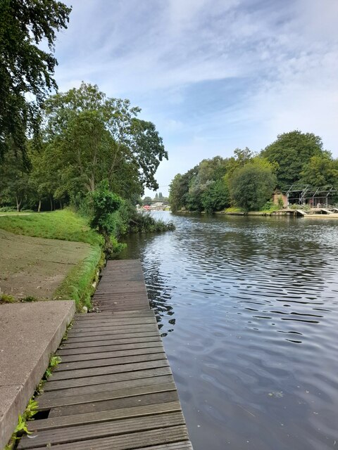
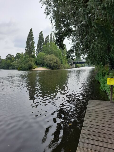
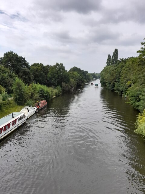
Broad Water is a picturesque freshwater body located in Surrey, England. Also referred to as Broadwater Lake, it encompasses an area of approximately 30 acres and is renowned for its natural beauty and diverse ecosystem. The lake is nestled within a tranquil setting, surrounded by lush greenery and a variety of wildlife.
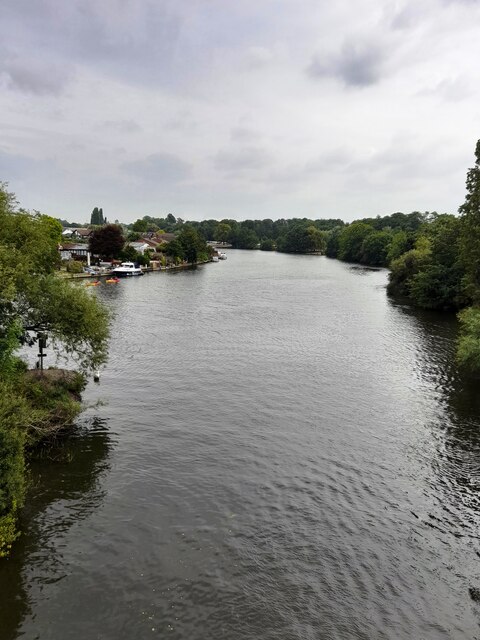
As one of the largest bodies of water in the region, Broad Water serves as a vital habitat for numerous species of plants and animals. The lake itself is home to a rich variety of fish, including carp, bream, and roach, making it a popular destination for anglers. The surrounding vegetation consists of a mix of reeds, rushes, and water lilies, providing shelter and food for a wide range of bird species such as swans, ducks, and herons.
Adjacent to the lake is a well-maintained pool area that offers facilities for recreational activities. Visitors can enjoy swimming, sunbathing, and picnicking in a pleasant and family-friendly environment. The pool is also equipped with safety measures to ensure a secure experience for all.
A notable feature of Broad Water is its freshwater marsh, which supports a unique ecosystem. This marshland is characterized by its waterlogged soil and the presence of specific wetland plants such as sedges and reeds. It serves as a critical habitat for various insects, amphibians, and invertebrates, contributing to the overall biodiversity of the area.
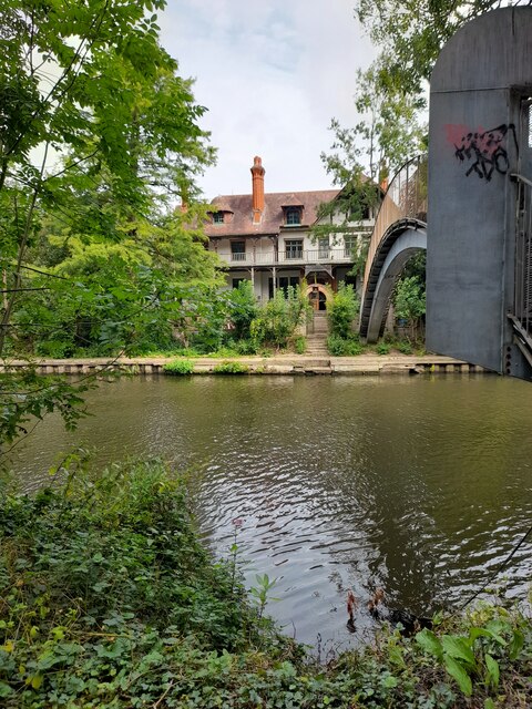
Broad Water, Surrey, offers a serene and scenic retreat for nature enthusiasts, providing opportunities for relaxation, outdoor recreation, and wildlife observation. Its combination of a beautiful lake, pool area, and freshwater marsh makes it a cherished natural gem within the Surrey countryside.
If you have any feedback on the listing, please let us know in the comments section below.
Broad Water Images
Images are sourced within 2km of 51.372809/-0.43107549 or Grid Reference TQ0964. Thanks to Geograph Open Source API. All images are credited.


Broad Water is located at Grid Ref: TQ0964 (Lat: 51.372809, Lng: -0.43107549)
Administrative County: Surrey
District: Elmbridge
Police Authority: Surrey
What 3 Words
///toxic.inner.stud. Near Weybridge, Surrey
Nearby Locations
Related Wikis

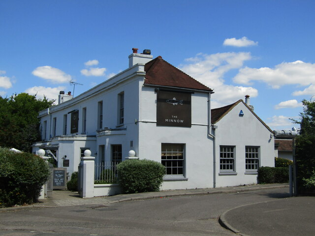
Oatlands, Surrey
Oatlands is a village in the north of the English county of Surrey on low, verdant ridges partially overlooking the River Thames. Oatlands acquired its...
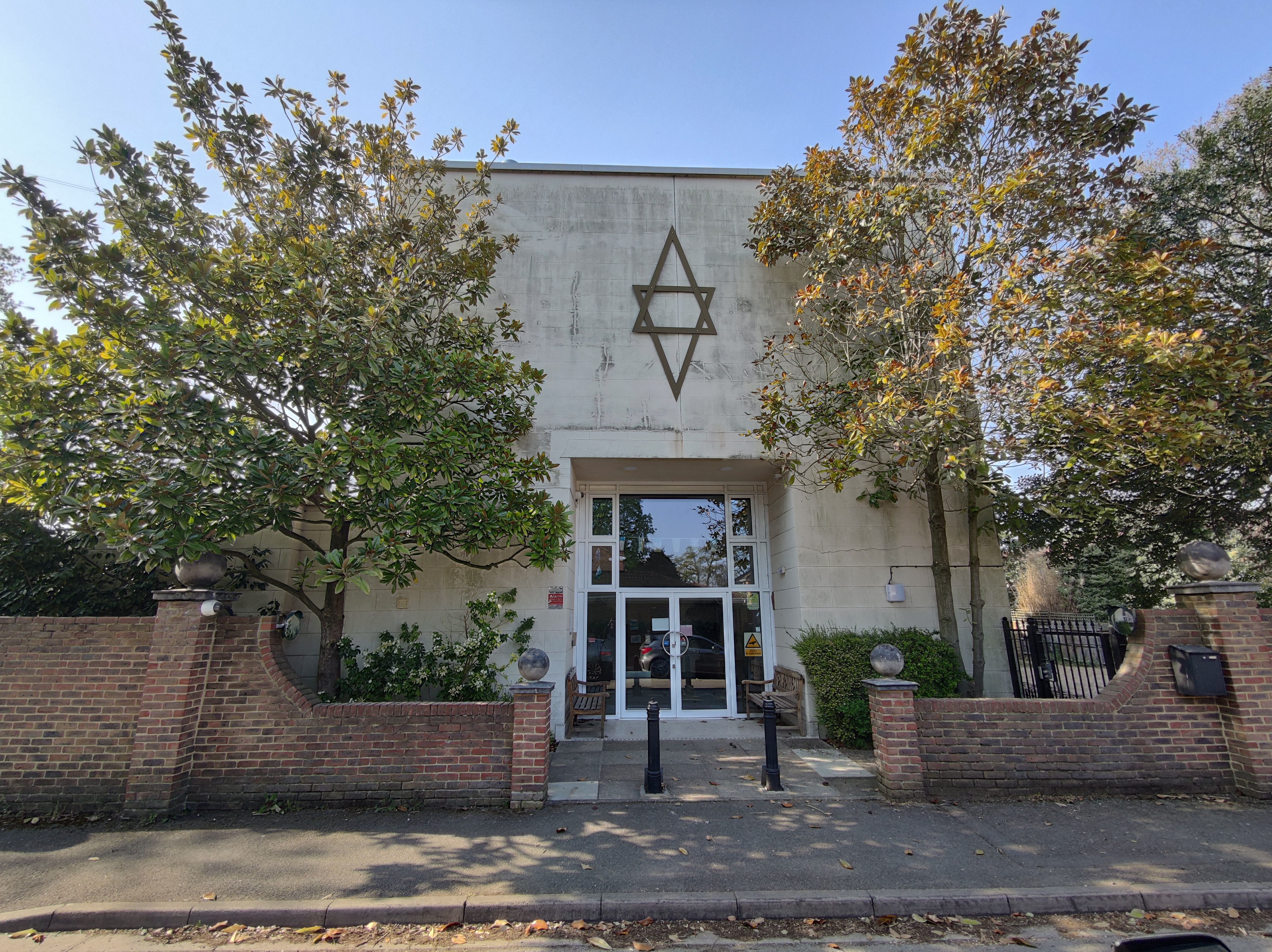
North West Surrey Synagogue
North West Surrey Synagogue is a Reform Jewish community whose synagogue is on Oatlands Drive in Weybridge, Surrey, England. The community, which now consists...
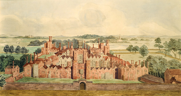
Oatlands Palace
Oatlands Palace is a former Tudor and Stuart royal palace which took the place of the former manor of the village of Oatlands near Weybridge, Surrey....

Ashley Park
Ashley Park is a private residential neighbourhood at Walton-on-Thames in Surrey. Its central feature was a grandiose English country house, at times...
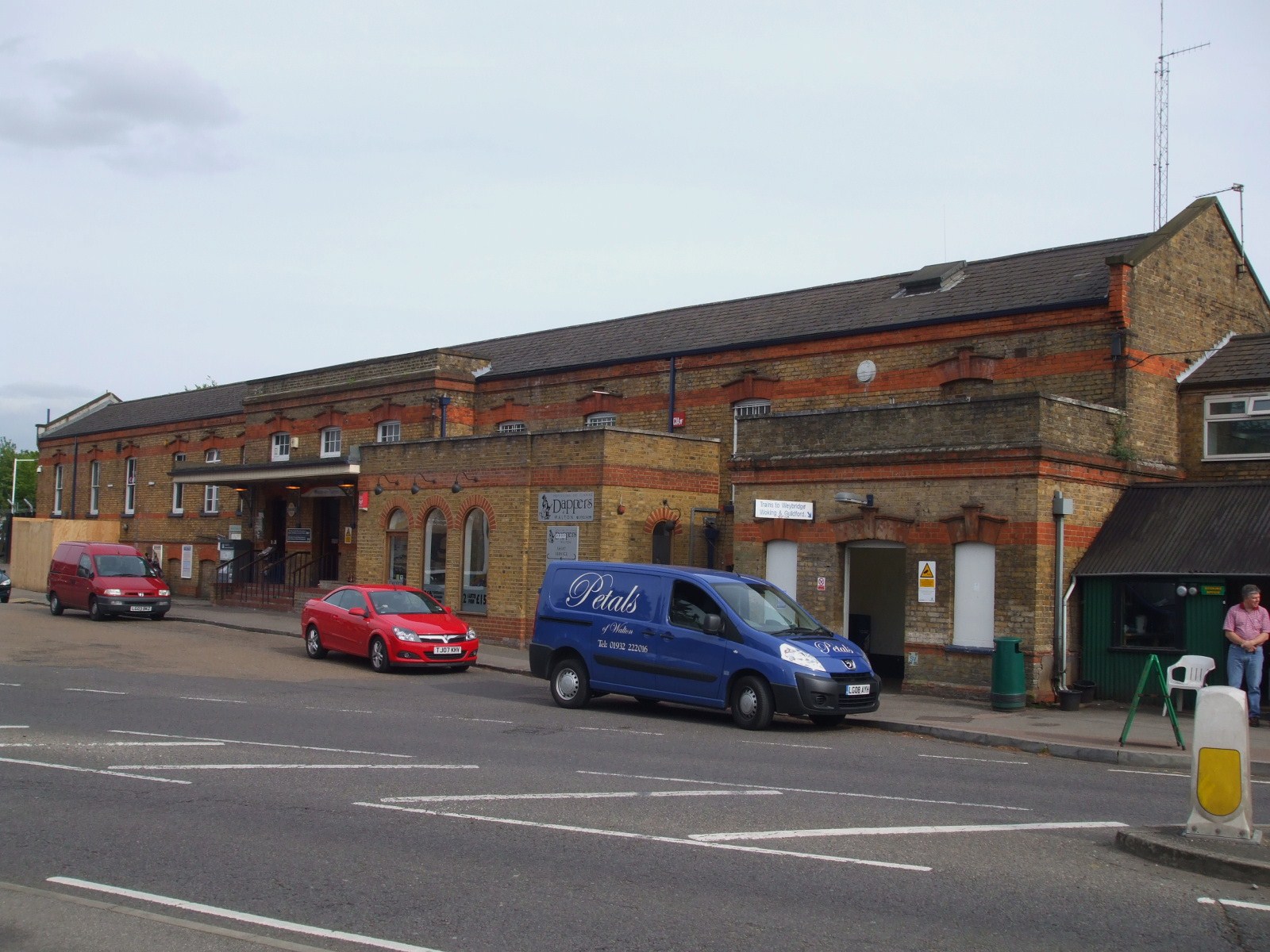
Walton-on-Thames railway station
Walton-on-Thames railway station is at the southern edge of the town of Walton-on-Thames in Surrey, England and borders Burwood Park, Hersham. It is 17...
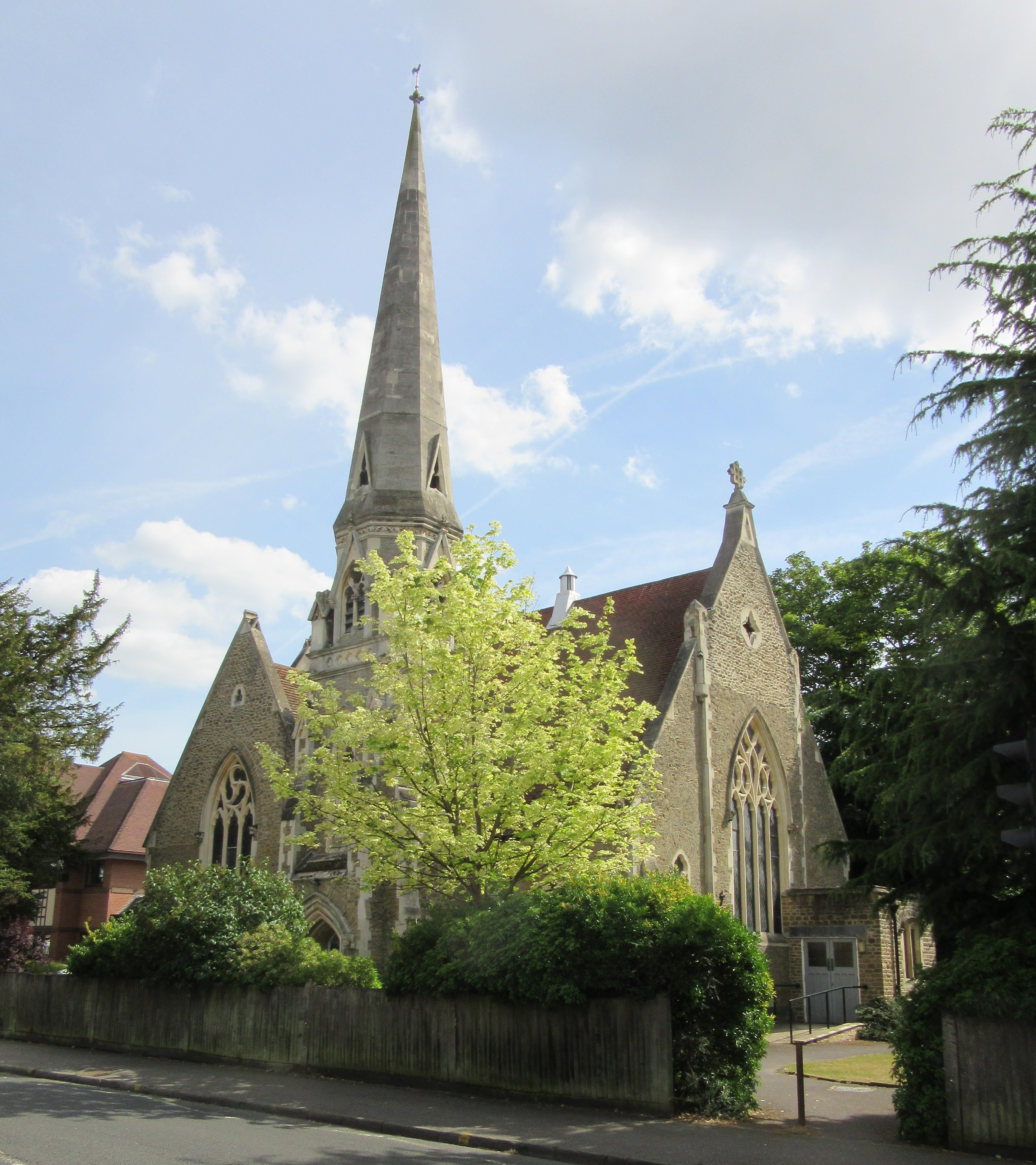
Weybridge United Reformed Church
The Weybridge United Reformed Church (formerly Weybridge Congregational Church) situate at Queen's Road (the A 317 Road), Weybridge, near to its junction...

Stompond Lane Sports Ground
The Sports Ground, Stompond Lane (also called Stompond Lane Sports Ground, but often just shortened to Stompond Lane) was a stadium located in Walton-on...
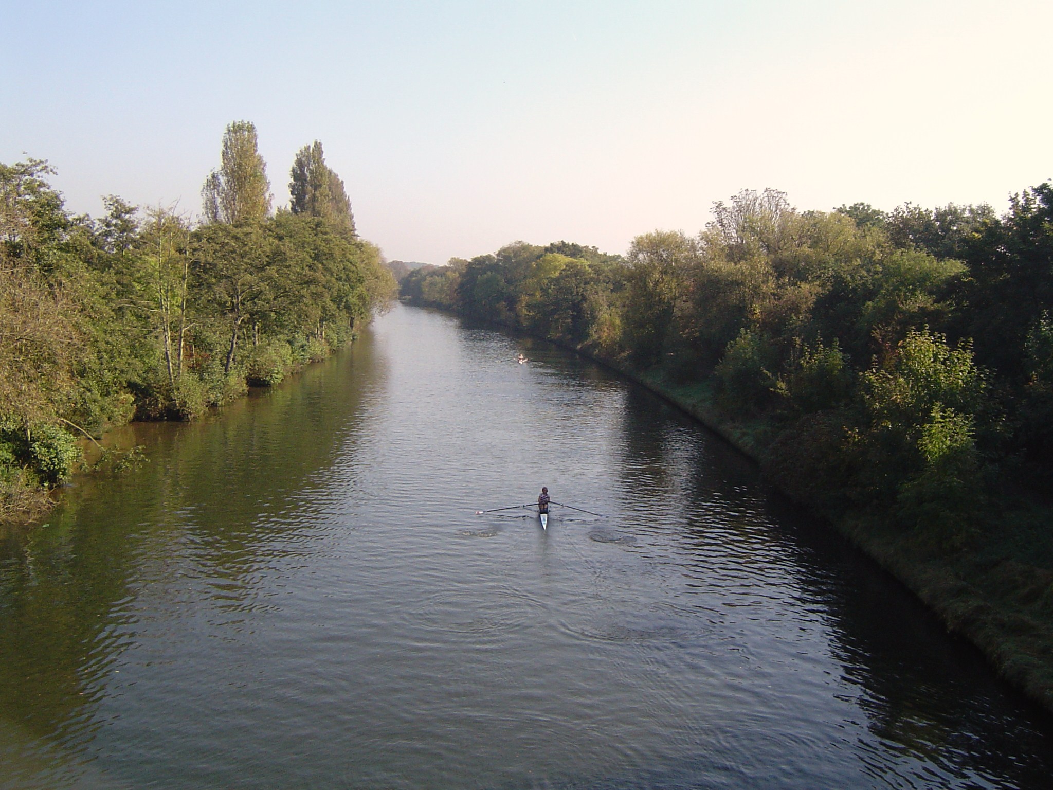
Desborough Cut
The Desborough Cut is an artificial channel in the River Thames above Sunbury Lock near Walton on Thames in England. It was completed in 1935, to improve...
Nearby Amenities
Located within 500m of 51.372809,-0.43107549Have you been to Broad Water?
Leave your review of Broad Water below (or comments, questions and feedback).