Hareswith Pond
Lake, Pool, Pond, Freshwater Marsh in Sussex Horsham
England
Hareswith Pond
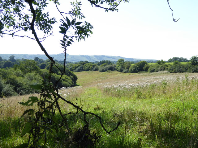
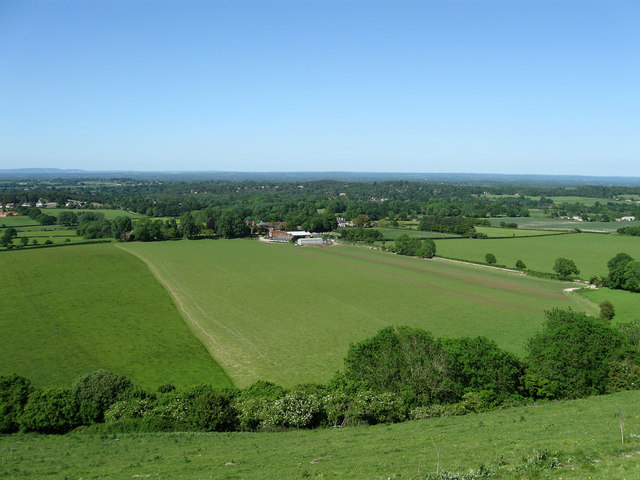
Hareswith Pond is a picturesque freshwater body located in the county of Sussex, England. Situated amidst the serene countryside, it occupies an area of approximately 2 acres and is classified as a pond. However, due to its size and depth, it is often mistaken for a small lake or pool.
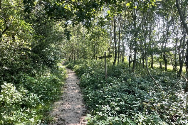
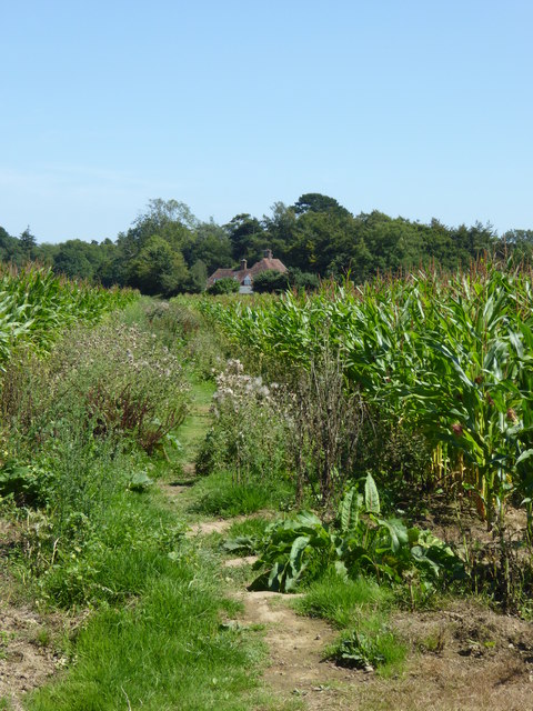
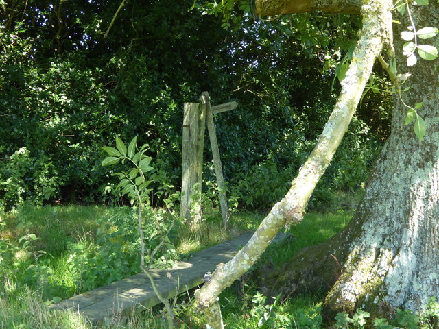
The pond is surrounded by lush vegetation, including reeds, rushes, and various water plants, creating a vibrant ecosystem. It serves as a vital habitat for numerous species of flora and fauna, making it a popular destination for nature enthusiasts and birdwatchers.
The water in Hareswith Pond is crystal clear and fed by several natural springs, ensuring a constant flow and maintaining its quality. The pond is relatively shallow, with an average depth of around 3 meters. It is home to various species of fish, such as carp, roach, and perch, providing an excellent opportunity for fishing.
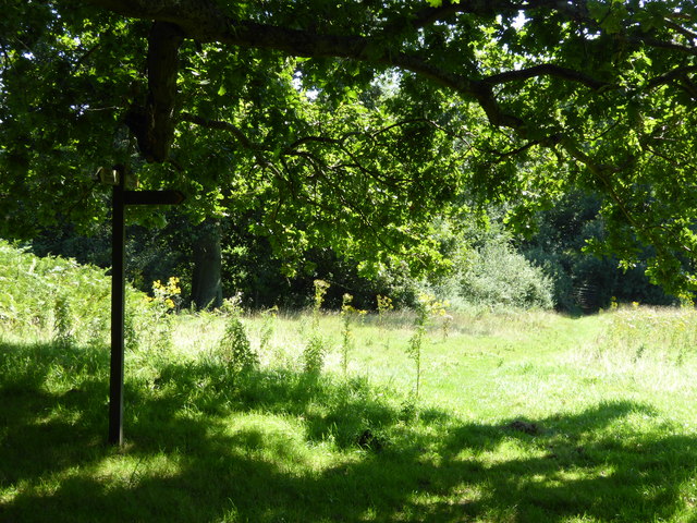
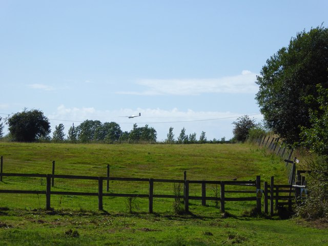
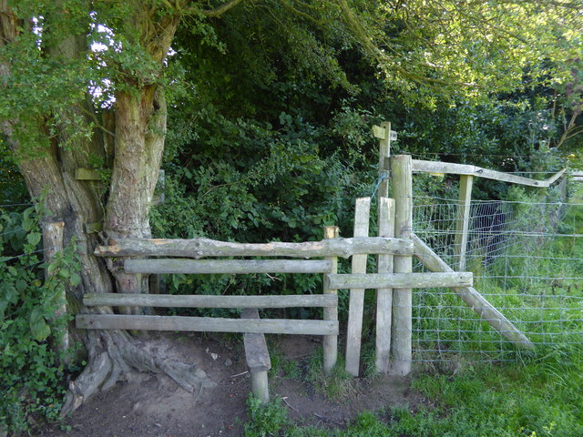
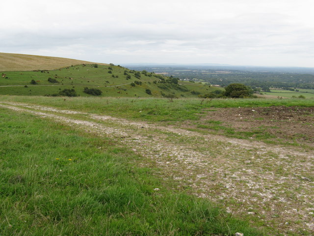
The tranquil ambiance of Hareswith Pond makes it an ideal spot for relaxation and recreation. Visitors can enjoy activities such as picnicking, walking along the surrounding footpaths, or simply appreciating the natural beauty of the area. Moreover, the pond attracts a wide variety of bird species throughout the year, offering excellent birdwatching opportunities.
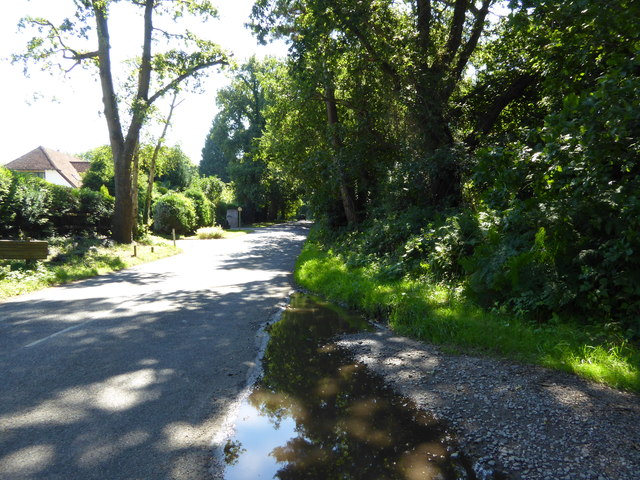
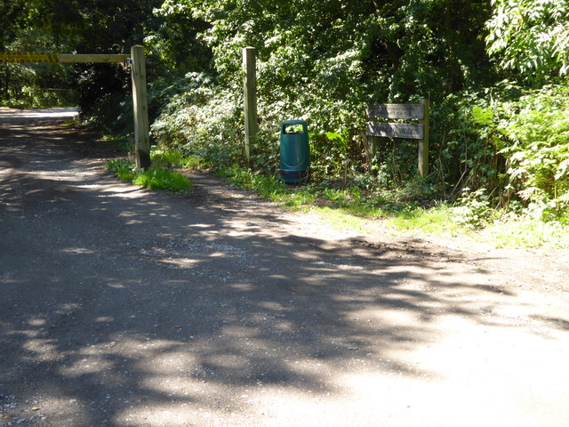
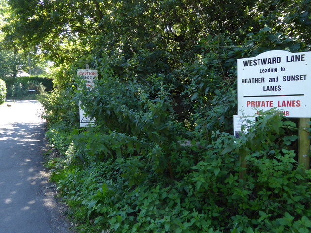
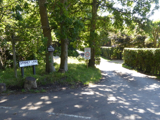
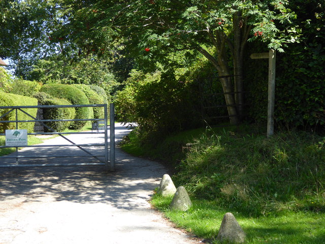
Hareswith Pond is easily accessible, with nearby parking facilities and well-maintained footpaths leading to its picturesque shores. Its serene surroundings and diverse wildlife make it a hidden gem for nature lovers and a haven for those seeking a peaceful retreat within the Sussex countryside.
If you have any feedback on the listing, please let us know in the comments section below.
Hareswith Pond Images
Images are sourced within 2km of 50.933098/-0.45035702 or Grid Reference TQ0815. Thanks to Geograph Open Source API. All images are credited.

Hareswith Pond is located at Grid Ref: TQ0815 (Lat: 50.933098, Lng: -0.45035702)
Administrative County: West Sussex
District: Horsham
Police Authority: Sussex
What 3 Words
///custodial.strict.placed. Near Storrington, West Sussex
Nearby Locations
Related Wikis

Arundel and South Downs (UK Parliament constituency)
Arundel and South Downs () is a constituency in West Sussex created in 1997 and represented in the House of Commons of the UK Parliament since 2019 by...

Rydon Community College
Rydon Community College was a maintained comprehensive middle-deemed-secondary school for pupils aged 10 to 13. The school was located just outside Storrington...
Storrington F.C.
Storrington Football Club is a football club based in Storrington, near Horsham, West Sussex, England. Storrington FCwere 1st formed in 1882, where they...
Sullington Warren
Sullington Warren is a 24.7-hectare (61-acre) biological Site of Special Scientific Interest in Storrington in West Sussex. The site includes several tumuli...
Storrington
Storrington is a town and former civil parish, now in the parish of Storrington and Sullington, in the Horsham district of West Sussex, England. Storrington...
Storrington and Sullington
Storrington and Sullington is the name of a civil parish in the Horsham District of West Sussex, England. The parish covers both the town of Storrington...
Little Thakeham
Little Thakeham is an Arts and Crafts style, Grade I listed private house in the parish of Thakeham, near the village of Storrington, in the Horsham district...

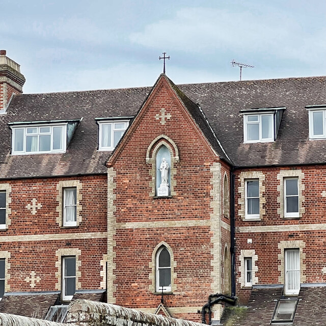
Our Lady of England Priory
Our Lady of England Priory in Storrington, West Sussex, England is the former home of Roman Catholic priests belonging to a Community of Canons Regular...
Nearby Amenities
Located within 500m of 50.933098,-0.45035702Have you been to Hareswith Pond?
Leave your review of Hareswith Pond below (or comments, questions and feedback).