Tip Pond

Lake, Pool, Pond, Freshwater Marsh in Sussex Horsham

England

Tip Pond

Downs Link, near Slinfold A view of the Downs Link path as it approaches Slinfold in West Sussex.  The path follows a dismantled railway line.  It also forms part of route 223 of the National Cycle Network.

Here, a public footpath crosses the Downs Link path.
Downs Link, near Slinfold Credit: Malc McDonald

Tip Pond is a natural freshwater body located in the county of Sussex, England. It is categorized as a pond, but its size and ecological features resemble those of a lake. Situated in a tranquil and picturesque setting, Tip Pond attracts numerous visitors throughout the year who come to appreciate its natural beauty and diverse wildlife.

Covering an area of approximately 4 acres, Tip Pond is surrounded by lush vegetation, including reeds, grasses, and shrubs, which provide shelter and nesting sites for a wide variety of bird species. The pond is also home to a rich aquatic ecosystem, supporting an array of fish, amphibians, and invertebrates.

The water in Tip Pond is predominantly freshwater, sourced from rainfall and natural springs. Its clear and calm surface reflects the surrounding landscape, making it an ideal spot for photography enthusiasts and nature lovers. The pond is relatively shallow, with an average depth of around 6 feet, allowing sunlight to penetrate the water and support the growth of aquatic plants.

Visitors to Tip Pond can enjoy a range of recreational activities. Fishing is a popular pastime, with anglers seeking to catch species such as carp, roach, and perch. The pond is also suitable for boating, canoeing, and kayaking, providing an opportunity to explore its nooks and crannies.

In addition to its recreational value, Tip Pond plays a vital role in maintaining the local ecosystem. It acts as a freshwater marsh, filtering and purifying water, and providing a habitat for a diverse range of plant and animal species.

Overall, Tip Pond in Sussex offers a serene and ecologically significant oasis for both wildlife and humans alike, making it a cherished natural asset in the region.

If you have any feedback on the listing, please let us know in the comments section below.
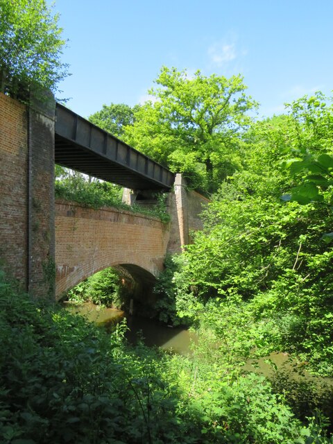
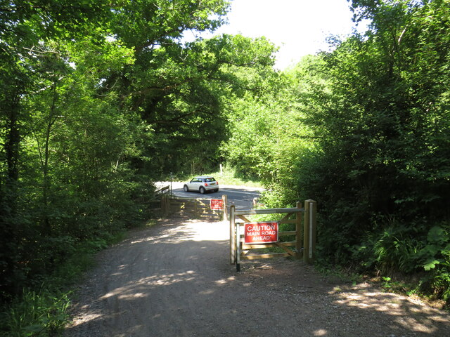
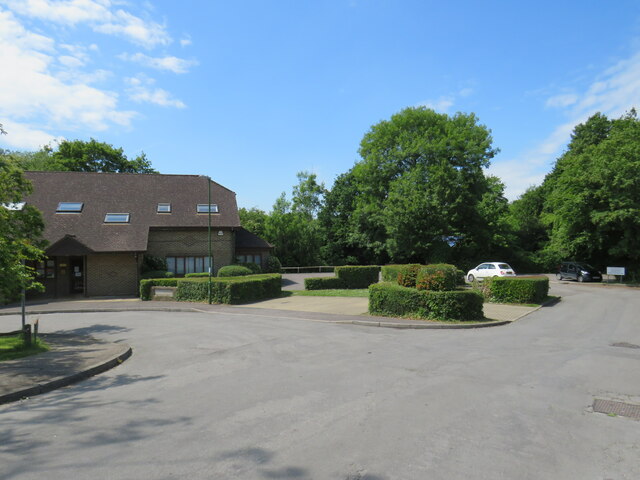
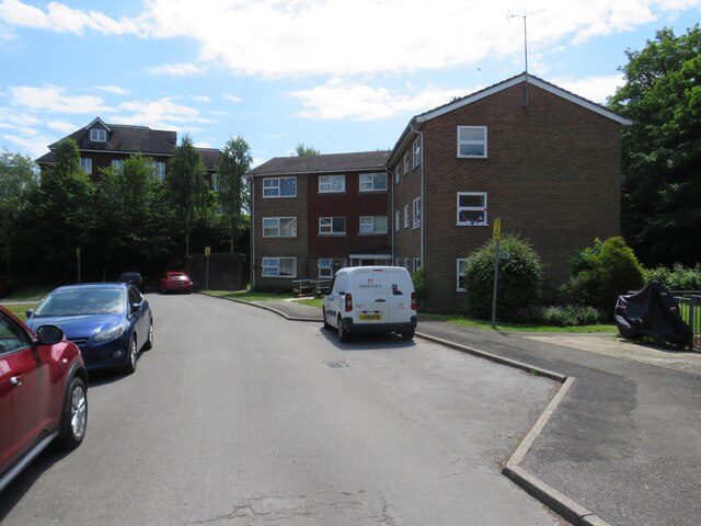
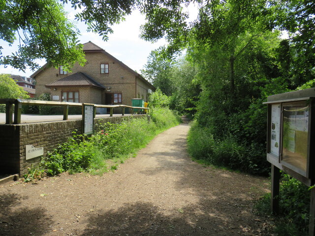
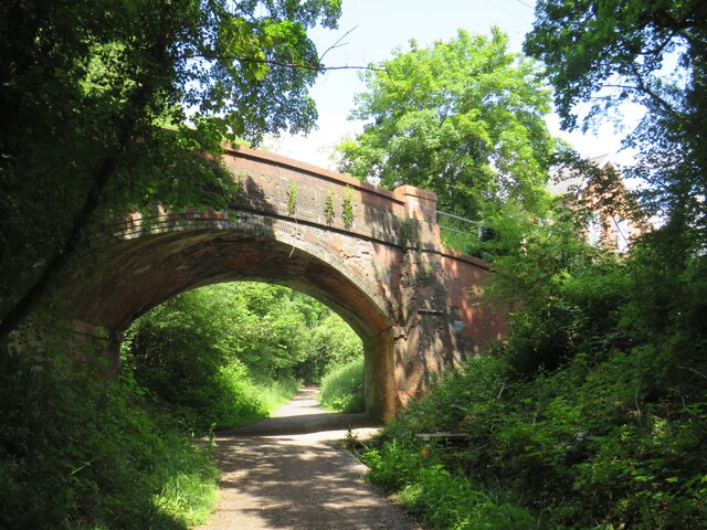
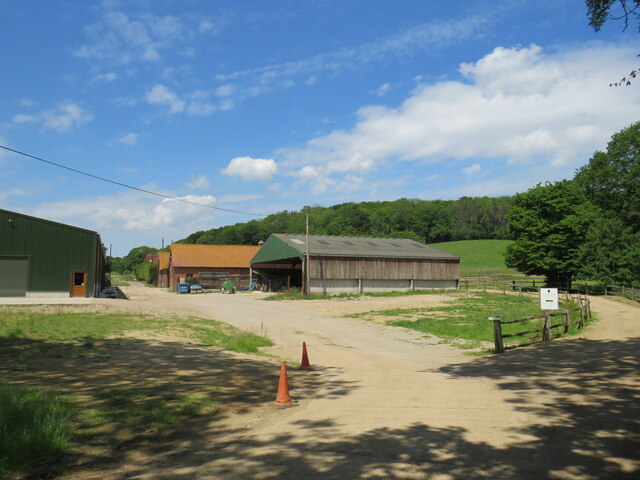
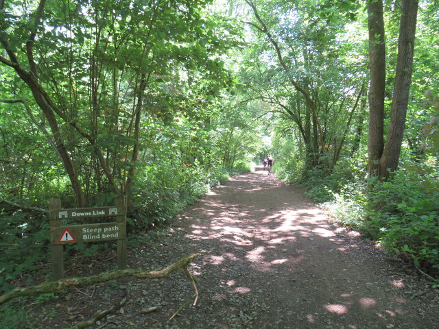
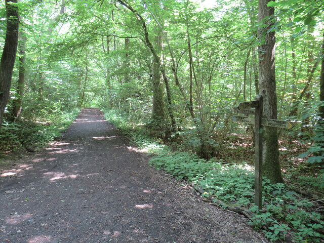
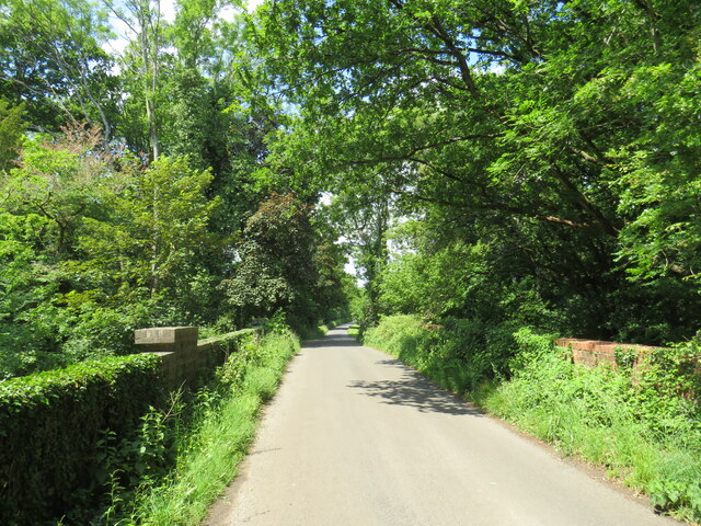
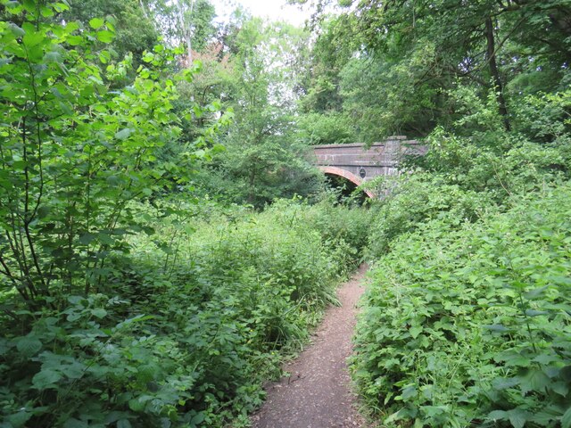
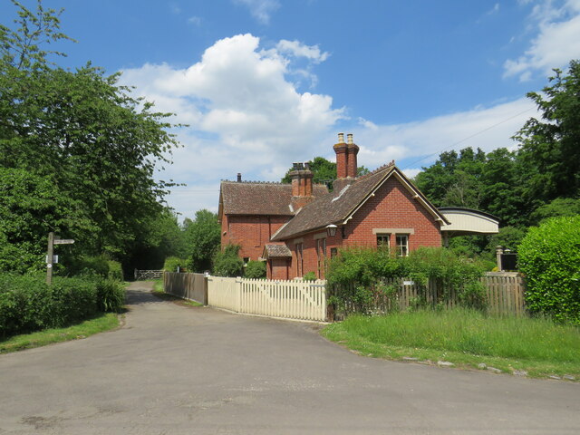
Tip Pond Images

Images are sourced within 2km of 51.091551/-0.45226427 or Grid Reference TQ0833. Thanks to Geograph Open Source API. All images are credited.

Downs Link, near Slinfold A view of the Downs Link path as it approaches Slinfold in West Sussex.  The path follows a dismantled railway line.  It also forms part of route 223 of the National Cycle Network.

Here, a public footpath crosses the Downs Link path.
Downs Link, near Slinfold
A view of the Downs Link path as it approaches Slinfold in West Sussex. The path follows a dismantled railway line. It also forms part of route 223 of the National Cycle Network. Here, a public footpath crosses the Downs Link path.
Double bridge near Rudgwick, West Sussex The double bridge which crosses the River Arun near Rudgwick is unique in Britain, in having both a brick arch and an iron girder.

The brick arch was built to carry a railway line across the river.  However, on the far side of the river, the railway would then climb a steep gradient into Rudgwick station.  Inspectors from the government's Board of Trade refused permission for the railway to open, as they felt the gradient up to Rudgwick station was too steep.  The railway compamny therefore had to rebuild this section of the route with higher embankments, so that the gradient into Rudgwick was less steep.  As the railway had been raised to a higher level at this location, the iron girder bridge was installed to carry it across the river.  The brick arch has never been used for its intended purpose.

The railway opened in 1865 but closed a century later.  The railway route now forms part of the Downs Link long distance path, which itself forms part of route 223 of the National Cycle Network.
Double bridge near Rudgwick, West Sussex
The double bridge which crosses the River Arun near Rudgwick is unique in Britain, in having both a brick arch and an iron girder. The brick arch was built to carry a railway line across the river. However, on the far side of the river, the railway would then climb a steep gradient into Rudgwick station. Inspectors from the government's Board of Trade refused permission for the railway to open, as they felt the gradient up to Rudgwick station was too steep. The railway compamny therefore had to rebuild this section of the route with higher embankments, so that the gradient into Rudgwick was less steep. As the railway had been raised to a higher level at this location, the iron girder bridge was installed to carry it across the river. The brick arch has never been used for its intended purpose. The railway opened in 1865 but closed a century later. The railway route now forms part of the Downs Link long distance path, which itself forms part of route 223 of the National Cycle Network.
Downs Link, near Rudgwick The Downs Link path follows a dismantled railway line for almost all of its length.  It also forms part of route 223 of the National Cycle Network.

Here, there used to be a bridge carrying the railway across the A281 road.  The bridge was demolished after the railway closed, and the Downs Link path therefore descends to road level to cross the road.  There has been a long-running campaign to reinstate a bridge here.  Sadly, a 20-year-old cyclist was killed in 2020 whilst crossing the road at this point.
Downs Link, near Rudgwick
The Downs Link path follows a dismantled railway line for almost all of its length. It also forms part of route 223 of the National Cycle Network. Here, there used to be a bridge carrying the railway across the A281 road. The bridge was demolished after the railway closed, and the Downs Link path therefore descends to road level to cross the road. There has been a long-running campaign to reinstate a bridge here. Sadly, a 20-year-old cyclist was killed in 2020 whilst crossing the road at this point.
Downs Link, Rudgwick A view of the Downs Link path at Rudgwick in West Sussex.  The path follows a dismantled railway line.  It also forms part of route 223 of the National Cycle Network.  The bridge in this photo carries a road across the former railway line.
Downs Link, Rudgwick
A view of the Downs Link path at Rudgwick in West Sussex. The path follows a dismantled railway line. It also forms part of route 223 of the National Cycle Network. The bridge in this photo carries a road across the former railway line.
Downs Link, Rudgwick A view of the Downs Link path at Rudgwick in West Sussex.  The path follows a dismantled railway line.  It also forms part of route 223 of the National Cycle Network.

Here, the path passes through the site of Rudgwick station.  The station and railway line closed in 1965, and very little trace of the station remains.  The block of flats to the right of the path has been built on the site of the station's goods yard.  More information about Rudgwick station, including photographs, can be found on the Disused Stations website: <span class="nowrap"><a title="http://www.disused-stations.org.uk/r/rudgwick/" rel="nofollow ugc noopener" href="http://www.disused-stations.org.uk/r/rudgwick/">Link</a><img style="margin-left:2px;" alt="External link" title="External link - shift click to open in new window" src="https://s1.geograph.org.uk/img/external.png" width="10" height="10"/></span>
Downs Link, Rudgwick
A view of the Downs Link path at Rudgwick in West Sussex. The path follows a dismantled railway line. It also forms part of route 223 of the National Cycle Network. Here, the path passes through the site of Rudgwick station. The station and railway line closed in 1965, and very little trace of the station remains. The block of flats to the right of the path has been built on the site of the station's goods yard. More information about Rudgwick station, including photographs, can be found on the Disused Stations website: LinkExternal link
Houses on Station Road, Rudgwick Houses close to the site of Rudgwick station, which closed in 1965.
Houses on Station Road, Rudgwick
Houses close to the site of Rudgwick station, which closed in 1965.
Site of railway station, Rudgwick near Horsham This was the site of Rudgwick's railway station, which closed in 1965.  Little trace of the station remains, with the site put to new uses.  The building to the left of the image is a health centre.
Site of railway station, Rudgwick near Horsham
This was the site of Rudgwick's railway station, which closed in 1965. Little trace of the station remains, with the site put to new uses. The building to the left of the image is a health centre.
The Sidings, Rudgwick The Sidings is a small residential development on the site of the former station goods yard at Rudgwick, in West Sussex.
The Sidings, Rudgwick
The Sidings is a small residential development on the site of the former station goods yard at Rudgwick, in West Sussex.
The Sidings, Rudgwick The Sidings is a small residential development on the site of the former station goods yard at Rudgwick, in West Sussex.  The building to the left of the image is a health centre.
The Sidings, Rudgwick
The Sidings is a small residential development on the site of the former station goods yard at Rudgwick, in West Sussex. The building to the left of the image is a health centre.
Downs Link at Rudgwick station site The Downs Link path follows a dismantled railway line for most of its length.  It also forms part of route 223 of the National Cycle Network.

Here, the path passes through the site of Rudgwick railway station.  More information about Rudgwick station can be found on the Disused Stations website: <span class="nowrap"><a title="http://www.disused-stations.org.uk/r/rudgwick/" rel="nofollow ugc noopener" href="http://www.disused-stations.org.uk/r/rudgwick/">Link</a><img style="margin-left:2px;" alt="External link" title="External link - shift click to open in new window" src="https://s1.geograph.org.uk/img/external.png" width="10" height="10"/></span>
Downs Link at Rudgwick station site
The Downs Link path follows a dismantled railway line for most of its length. It also forms part of route 223 of the National Cycle Network. Here, the path passes through the site of Rudgwick railway station. More information about Rudgwick station can be found on the Disused Stations website: LinkExternal link
Bridge over the Downs Link path near Rudgwick A view of the Downs Link path near Rudgwick in West Sussex.  The path follows a dismantled railway line.  It also forms part of route 223 of the National Cycle Network.

The bridge carries a road over the former railway line.
Bridge over the Downs Link path near Rudgwick
A view of the Downs Link path near Rudgwick in West Sussex. The path follows a dismantled railway line. It also forms part of route 223 of the National Cycle Network. The bridge carries a road over the former railway line.
Woodsomes Farm, near Rudgwick Woodsomes Farm in countryside close to the West Sussex/Surrey border.
Woodsomes Farm, near Rudgwick
Woodsomes Farm in countryside close to the West Sussex/Surrey border.
Downs Link, near Rudgwick A view of the Downs Link path near Rudgwick in West Sussex.  The path also forms part of route 223 of the National Cycle Network.

For most of its length, the path follows the course of a dismantled railway.  Between Cranleigh and Rudgwick, however, the railway passed through a tunnel.  The path avoids the tunnel, instead climbing over the hill.  This view looks downhill towards Rudgwick.  A sign warns cyclists of a steep gradient and a blind bend.
Downs Link, near Rudgwick
A view of the Downs Link path near Rudgwick in West Sussex. The path also forms part of route 223 of the National Cycle Network. For most of its length, the path follows the course of a dismantled railway. Between Cranleigh and Rudgwick, however, the railway passed through a tunnel. The path avoids the tunnel, instead climbing over the hill. This view looks downhill towards Rudgwick. A sign warns cyclists of a steep gradient and a blind bend.
Downs Link and Sussex Border Path near Rudgwick A view of the Downs Link path near Rudgwick in West Sussex.  The path also forms part of route 223 of the National Cycle Network.

For most of its length, the path follows the course of a dismantled railway.  Between Cranleigh and Rudgwick, however, the railway passed through a tunnel.  The path avoids the tunnel, instead climbing through woodland over a hill.  Here, the Downs Link path meets the Sussex Border Path.  Both paths take the path ahead for a short distance.  This location is also the county boundary between West Sussex and Surrey.
Downs Link and Sussex Border Path near Rudgwick
A view of the Downs Link path near Rudgwick in West Sussex. The path also forms part of route 223 of the National Cycle Network. For most of its length, the path follows the course of a dismantled railway. Between Cranleigh and Rudgwick, however, the railway passed through a tunnel. The path avoids the tunnel, instead climbing through woodland over a hill. Here, the Downs Link path meets the Sussex Border Path. Both paths take the path ahead for a short distance. This location is also the county boundary between West Sussex and Surrey.
Cox Green Road, near Rudgwick Cox Green Road near Rudgwick, on the borders of Surrey and West Sussex.  Here, a bridge carries the road over the course of a dismantled railway.

Much of the dismantled railway forms the route of the Downs Link path and route 223 of the National Cycle Network.  A short distance south of this location, however, the railway passed through a tunnel.  The tunnel is closed, therefore the path and cycle route climb up to the road, crossing the bridge then passing through woodland before rejoining the railway route.
Cox Green Road, near Rudgwick
Cox Green Road near Rudgwick, on the borders of Surrey and West Sussex. Here, a bridge carries the road over the course of a dismantled railway. Much of the dismantled railway forms the route of the Downs Link path and route 223 of the National Cycle Network. A short distance south of this location, however, the railway passed through a tunnel. The tunnel is closed, therefore the path and cycle route climb up to the road, crossing the bridge then passing through woodland before rejoining the railway route.
Downs Link near Rudgwick The Downs Link path descending into a railway cutting where it will pass beneath the bridge visible ahead.  The path also forms part of route 223 of the National Cycle Network.

Much of the Downs Link path follows the course of a dismantled railway.  The tunnel is closed, therefore the path and cycle route climb through woodland to avoid the tunnel before rejoining the railway route.
Downs Link near Rudgwick
The Downs Link path descending into a railway cutting where it will pass beneath the bridge visible ahead. The path also forms part of route 223 of the National Cycle Network. Much of the Downs Link path follows the course of a dismantled railway. The tunnel is closed, therefore the path and cycle route climb through woodland to avoid the tunnel before rejoining the railway route.
Baynards station building, near Horsham Baynards station was situated in Surrey countryside close to the Sussex border.  The station closed in 1965, along with the railway which passed through it.  The building survives, however, and is used as a private house.

The driveway past the station forms part of the route of the Downs Link path, which itself forms part of route 223 of the National Cycle Network.

For more information about Baynards station, including photographs taken when it was still operating as a station, see the Disused Stations website: <span class="nowrap"><a title="http://www.disused-stations.org.uk/b/baynards/index.shtml" rel="nofollow ugc noopener" href="http://www.disused-stations.org.uk/b/baynards/index.shtml">Link</a><img style="margin-left:2px;" alt="External link" title="External link - shift click to open in new window" src="https://s1.geograph.org.uk/img/external.png" width="10" height="10"/></span>
Baynards station building, near Horsham
Baynards station was situated in Surrey countryside close to the Sussex border. The station closed in 1965, along with the railway which passed through it. The building survives, however, and is used as a private house. The driveway past the station forms part of the route of the Downs Link path, which itself forms part of route 223 of the National Cycle Network. For more information about Baynards station, including photographs taken when it was still operating as a station, see the Disused Stations website: LinkExternal link
Show me another place!

Tip Pond is located at Grid Ref: TQ0833 (Lat: 51.091551, Lng: -0.45226427)

Administrative County: West Sussex

District: Horsham

Police Authority: Sussex

What 3 Words

///dignity.piglets.marsh. Near Rudgwick, West Sussex

Related Wikis

Rudgwick railway station

Rudgwick railway station was on the Cranleigh Line. It served the village of Rudgwick in West Sussex until June, 1965. == History == Rudgwick station opened...

Rudgwick

Rudgwick is a village and civil parish in the Horsham District of West Sussex, England. The village is 6 miles (10 km) west from Horsham on the north...

Holy Trinity Church, Rudgwick

Holy Trinity Church is the Anglican parish church of Rudgwick, a village in the Horsham district of West Sussex, England. The oldest part of the church...

Tisman's Common

Tisman's Common is a hamlet in the Horsham District of West Sussex, England. It stands in the parish of Rudgwick, on the Rudgwick to Loxwood road, 6.4...

Baynards railway station

Baynards was a railway station on the Cranleigh Line, between Guildford, Surrey, and Horsham, West Sussex, England. The station opened with the line on...

Rikkyo School in England

Rikkyo School in England (立教英国学院, Rikkyō Eikoku Gakuin) is a Japanese boarding primary and secondary school in Rudgwick, Horsham District, West Sussex...

Baynards Park

Baynards Park is a 2,000 acres (810 ha) estate and site of a demolished country house with extant outbuildings, privately owned, in the south of the parishes...

High Weald AONB

The High Weald Area of Outstanding Natural Beauty is in south-east England. Covering an area of 1,450 square kilometres (560 sq mi), it takes up parts...

Nearby Amenities

Located within 500m of 51.091551,-0.45226427
Rudgwick
Is In: West Sussex, England, UK
Place: village
Wikidata: Q2012090
Lat/Long: 51.0900272/-0.4491403
Post Office
Rudgwick Post Office
Addr Postcode: RH12 3EX
Branch: Rudgwick
Brand: Post Office
Brand Wikidata: Q1783168
Check Date: 2020-02-20
Contact Website: https://www.postoffice.co.uk/branch-finder/1069128/rudgwick
Ref Pol Id: 1477
Lat/Long: 51.0901075/-0.4492552
Pharmacy
Rudgwick Pharmacy
Healthcare: pharmacy
Lat/Long: 51.0897394/-0.4495821
Post Box
Operator: Royal Mail
Operator Wikidata: Q638098
Ref: RH12 176
Lat/Long: 51.0931481/-0.4461797
Post Box
Post Box Type: pillar
Ref: RH13 245
Source: Photo P143-0559
Lat/Long: 51.0899744/-0.4492089
Turning Circle
Lat/Long: 51.0913486/-0.449584
Bus Stop
Station Road
Bench: no
Naptan AtcoCode: 4400HR0013
Naptan Bearing: NE
Naptan CommonName: Station Road
Naptan Indicator: adj Foxholes
Naptan Landmark: Foxholes
Naptan NaptanCode: wsxatdwd
Naptan Street: Church Street
Naptan Verified: no
Public Transport: platform
Shelter: no
Source: naptan_import
Lat/Long: 51.09025/-0.4490044
Bus Stop
Station Road
Naptan AtcoCode: 4400HR0014
Naptan Bearing: SW
Naptan CommonName: Station Road
Naptan Indicator: opp Station Road
Naptan Landmark: Thurne way
Naptan NaptanCode: wsxatdwg
Naptan Street: Church Street
Naptan Verified: no
Public Transport: platform
Source: naptan_import
Lat/Long: 51.0899653/-0.4490342
Bus Stop
Furze Road
Bus: yes
Naptan AtcoCode: 4400HR0015
Naptan Bearing: NE
Naptan CommonName: Furze Road
Naptan Indicator: adj Furze Road
Naptan Landmark: Furze Road
Naptan NaptanCode: wsxatdwj
Naptan Street: Church Street
Naptan Verified: no
Public Transport: platform
Source: naptan_import
Lat/Long: 51.0916428/-0.4478257
Bus Stop
Furze Road
Bus: yes
Naptan AtcoCode: 4400HR0016
Naptan Bearing: SW
Naptan BusStopType: CUS
Naptan CommonName: Furze Road
Naptan Indicator: adj Furze Road
Naptan Landmark: Kilnfield Road
Naptan NaptanCode: wsxatdwm
Naptan Street: Church Street
Naptan Verified: no
Public Transport: platform
Source: naptan_import
Lat/Long: 51.0917673/-0.4475538
Bus Stop
Greathouse Farm
Bus: yes
Local Ref: NR
Naptan AtcoCode: 4400HR1101
Naptan Bearing: SW
Naptan BusStopType: CUS
Naptan CommonName: Greathouse Farm
Naptan Indicator: nr
Naptan Landmark: Hail & Ride
Naptan NaptanCode: wsxgdjtg
Naptan Street: Lynwick Street
Naptan Verified: no
Public Transport: platform
Source: naptan_import
Lat/Long: 51.0935923/-0.4560305
Mini Roundabout
Direction: clockwise
Lat/Long: 51.0920841/-0.4472904
Bench
Backrest: yes
Inscription: Parish gift 1970
Seats: 3
Lat/Long: 51.0872586/-0.451752
Fire Hydrant
Emergency: fire_hydrant
Fire Hydrant Diameter: 100
Fire Hydrant Position: sidewalk
Fire Hydrant Type: underground
Lat/Long: 51.0902811/-0.4489424
Post Box
Post Box Type: lamp
Ref: RH12 45
Source: Photo P143-0554
Lat/Long: 51.0871961/-0.4517482
Public Bookcase
Rudgwick Children's Book Exchange
Booth: K6
Disused Amenity: telephone
Man Made: telephone_box
Public Bookcase Type: phone_box
Lat/Long: 51.0894741/-0.4495035
Traffic Calming: choker
Lat/Long: 51.0890364/-0.4499441
Shop: convenience
Lat/Long: 51.0908134/-0.4482433
Turning Circle
Lat/Long: 51.0910411/-0.4507561
Turning Circle
Lat/Long: 51.0904828/-0.4509203
Turning Circle
Lat/Long: 51.0925943/-0.4490823
Atm
Lat/Long: 51.0901647/-0.4490787
Information: board
Tourism: information
Lat/Long: 51.0902314/-0.4490512
Rudgwick
Historic Railway: station
Railway: site
Wikidata: Q7376911
Wikipedia: en:Rudgwick railway station
Lat/Long: 51.0895985/-0.4508979
Addr Housenumber: 4
Lat/Long: 51.0925319/-0.4463896
Addr Housenumber: 7
Lat/Long: 51.0919467/-0.4451559
Addr Housenumber: 1
Lat/Long: 51.0916789/-0.4453839
Addr Housenumber: 17
Lat/Long: 51.0917512/-0.4457153
Addr Housenumber: 1
Lat/Long: 51.0921513/-0.4469491
Crossing
Lat/Long: 51.0926438/-0.4467755
Crossing
Lat/Long: 51.0924756/-0.4469476
Crossing
Lat/Long: 51.0935083/-0.4458347
Crossing
Lat/Long: 51.0934458/-0.445894
Crossing
Lat/Long: 51.0931738/-0.4461522
Crossing
Lat/Long: 51.0930509/-0.4463213
Addr Housenumber: 2
Lat/Long: 51.0913909/-0.4452014
Addr Housenumber: 4
Lat/Long: 51.0914743/-0.4451314
Addr Housenumber: 1
Lat/Long: 51.0913072/-0.445374
Addr Housenumber: 2
Lat/Long: 51.0918993/-0.4471379
Addr Housenumber: 16
Lat/Long: 51.0915101/-0.446055
Addr Housename: Southolme
Lat/Long: 51.0915851/-0.447507
Addr Housename: Northolme
Lat/Long: 51.0916354/-0.4474626
Addr Housenumber: 2
Lat/Long: 51.0913964/-0.4457423
Addr Housenumber: 1
Lat/Long: 51.0911631/-0.4472686
Addr Housenumber: 4
Lat/Long: 51.0910358/-0.4468991
Addr Housenumber: 8
Lat/Long: 51.0911133/-0.4476911
Addr Housenumber: 10
Lat/Long: 51.091187/-0.4478955
Addr Housename: Heathcote
Lat/Long: 51.0904912/-0.4484726
Addr Housename: Avonlea
Lat/Long: 51.0904176/-0.4485241
Addr Housename: Bryn Croft
Lat/Long: 51.0903341/-0.4479529
Addr Housename: Vivian Cottage
Lat/Long: 51.0903002/-0.4478295
Addr Housenumber: 1
Lat/Long: 51.090355/-0.4486104
Addr Housename: Woodside
Addr Housenumber: 2
Lat/Long: 51.0903165/-0.4486351
Addr Housenumber: 9
Lat/Long: 51.0896823/-0.4480105
Addr Housenumber: 11
Lat/Long: 51.0896627/-0.4479299
Crossing
Lat/Long: 51.0920257/-0.4471124
Crossing
Lat/Long: 51.0915714/-0.4477249
Crossing
Lat/Long: 51.0910912/-0.44812
Crossing
Lat/Long: 51.0910577/-0.448148
Crossing
Lat/Long: 51.0909577/-0.4482319
Crossing
Lat/Long: 51.0907895/-0.4483777
Crossing
Lat/Long: 51.0899058/-0.449104
Crossing
Lat/Long: 51.0897454/-0.4492546
Crossing
Lat/Long: 51.089635/-0.4493523
Crossing
Lat/Long: 51.0894351/-0.449521
Crossing
Lat/Long: 51.0892105/-0.4495995
Addr Housenumber: 1
Lat/Long: 51.0872222/-0.4514671
Addr Housenumber: 6
Lat/Long: 51.0873704/-0.4503397
Addr Housenumber: 7
Lat/Long: 51.087456/-0.4497043
Addr Housename: April Cottage
Lat/Long: 51.0926688/-0.4563259
Addr Housename: Cherry Cottage
Lat/Long: 51.0925577/-0.4576257
Addr Housename: Alfa Cottage
Lat/Long: 51.0924426/-0.4575277
Addr Housename: Little Canfields
Lat/Long: 51.0923648/-0.4577588
The data included in this document is from www.openstreetmap.org. The data is made available under ODbL.

Have you been to Tip Pond?

Leave your review of Tip Pond below (or comments, questions and feedback).