Cardington Spillway

Lake, Pool, Pond, Freshwater Marsh in Bedfordshire

England

Cardington Spillway

Costa in St Johns Retail Park, Bedford
Costa in St Johns Retail Park, Bedford Credit: David Howard

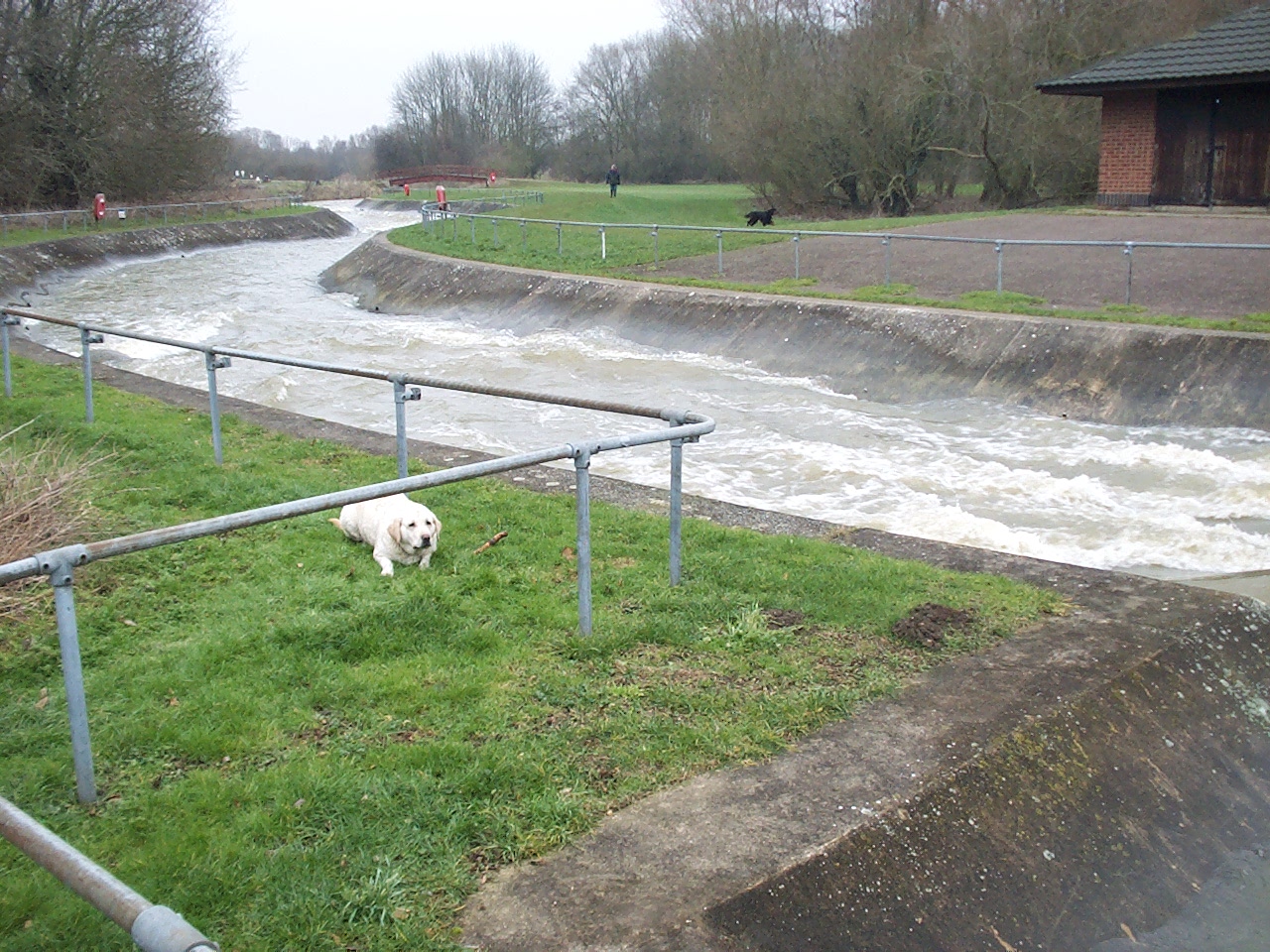
Cardington Spillway is a man-made water feature located in Bedfordshire, England. It is situated within the Cardington Artificial Slalom Course, which was constructed in the 1980s for canoeing and kayaking competitions. The spillway serves as an integral part of the course, providing a controlled release of water from the adjacent lake.

The spillway itself is a concrete structure with a series of steps or chutes that allow water to flow downwards in a controlled manner. This design helps to regulate the flow of water, preventing flooding and maintaining the overall stability of the surrounding area.

The water body connected to the spillway is a lake, which serves as the main source of water for the Cardington Artificial Slalom Course. The lake is relatively small in size and is surrounded by lush greenery, creating a serene and picturesque environment. It offers a tranquil setting for various recreational activities such as fishing, boating, and wildlife observation.

In addition to the lake, there are also smaller pools and ponds within the Cardington Spillway area. These smaller water bodies provide a diverse habitat for a variety of plant and animal species, including freshwater marsh plants and aquatic birds. The presence of these wetland ecosystems enhances the biodiversity of the area and provides valuable habitat for wildlife.

Overall, Cardington Spillway is an important water feature in Bedfordshire that serves multiple purposes. Its function as a spillway ensures the controlled release of water, while the adjacent lake and smaller water bodies provide recreational opportunities and support a diverse range of plant and animal life.

If you have any feedback on the listing, please let us know in the comments section below.

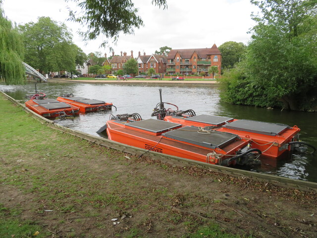
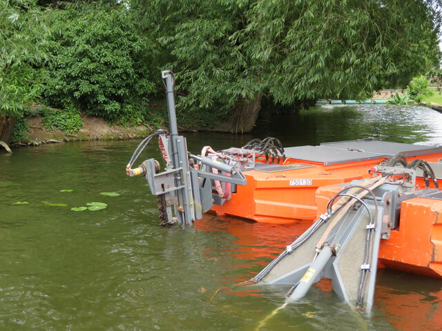
Cardington Spillway Images

Images are sourced within 2km of 52.125893/-0.43227156 or Grid Reference TL0748. Thanks to Geograph Open Source API. All images are credited.

Costa in St Johns Retail Park, Bedford
St Johns Retail Park, Bedford
DHL Warehouse at Bedford
Parking, and coffee shop at Priory Country Park
Path and old wall, Priory Country Park
Walking next to the lake at Priory Country Park
Otter sculpture and beach at Priory Country Park
Telephone Box, Church Lane, Cardington
Postbox London Road, Bedford Post boxes come in many forms from free standing pillar boxes to those built into walls. The monarch's cypher is always present to give an indication of age.
In the British Isles the first red pillar post boxes were erected in Jersey in 1852. Roadside wall boxes first appeared in 1857 as a cheaper alternative to pillar boxes, especially in rural districts. In 1853 the first pillar box in the United Kingdom was installed at Botchergate, Carlisle. In 1856, Richard Redgrave of the Department of Science and Art designed an ornate pillar box for use in London and other large cities. In 1859 the design was improved, and this became the first National Standard pillar box. Green was adopted as the standard colour for the early Victorian post boxes. Between 1866 and 1879 the hexagonal Penfold post box became the standard design for pillar boxes and it was during this period that red was first adopted as the standard colour. The first boxes to be painted red were in London in July 1874, although it would be nearly 10 years before all the boxes had been repainted.(excerpt from Wikipedia)
Postbox London Road, Bedford
Post boxes come in many forms from free standing pillar boxes to those built into walls. The monarch's cypher is always present to give an indication of age. In the British Isles the first red pillar post boxes were erected in Jersey in 1852. Roadside wall boxes first appeared in 1857 as a cheaper alternative to pillar boxes, especially in rural districts. In 1853 the first pillar box in the United Kingdom was installed at Botchergate, Carlisle. In 1856, Richard Redgrave of the Department of Science and Art designed an ornate pillar box for use in London and other large cities. In 1859 the design was improved, and this became the first National Standard pillar box. Green was adopted as the standard colour for the early Victorian post boxes. Between 1866 and 1879 the hexagonal Penfold post box became the standard design for pillar boxes and it was during this period that red was first adopted as the standard colour. The first boxes to be painted red were in London in July 1874, although it would be nearly 10 years before all the boxes had been repainted.(excerpt from Wikipedia)
Bedford Academy
Bedford Academy
Richardson Milling, Mile Road, Bedford
Mowing boats on the River Great Ouse at Bedford Machines for dealing with aquatic vegetation, moored just downstream from the suspension bridge. Apparently one of the covers comes off and the operator sits in the space to work the cutters and collectors. See <a href="https://www.geograph.org.uk/photo/7537251">TL0549 : Mowing machine on the River Great Ouse</a> for a close-up.  <span class="nowrap"><a title="https://conver.com/en/" rel="nofollow ugc noopener" href="https://conver.com/en/">Link</a><img style="margin-left:2px;" alt="External link" title="External link - shift click to open in new window" src="https://s1.geograph.org.uk/img/external.png" width="10" height="10"/></span> .
Mowing boats on the River Great Ouse at Bedford
Machines for dealing with aquatic vegetation, moored just downstream from the suspension bridge. Apparently one of the covers comes off and the operator sits in the space to work the cutters and collectors. See TL0549 : Mowing machine on the River Great Ouse for a close-up. LinkExternal link .
Mowing machine on the River Great Ouse Detail of the stern of the Conver mowing boats at <a href="https://www.geograph.org.uk/photo/7537247">TL0549 : Mowing boats on the River Great Ouse at Bedford</a>. <span class="nowrap"><a title="https://conver.com/en/" rel="nofollow ugc noopener" href="https://conver.com/en/">Link</a><img style="margin-left:2px;" alt="External link" title="External link - shift click to open in new window" src="https://s1.geograph.org.uk/img/external.png" width="10" height="10"/></span>.
Mowing machine on the River Great Ouse
Detail of the stern of the Conver mowing boats at TL0549 : Mowing boats on the River Great Ouse at Bedford. LinkExternal link.
A600 bridge over A421 south of Bedford The A421 runs 44miles east-west from Black Cat Roundabout on the A1 to Brackley.
<span class="nowrap"><a title="http://www.sabre-roads.org.uk/wiki/index.php?title=A421" rel="nofollow ugc noopener" href="http://www.sabre-roads.org.uk/wiki/index.php?title=A421">Link</a><img style="margin-left:2px;" alt="External link" title="External link - shift click to open in new window" src="https://s1.geograph.org.uk/img/external.png" width="10" height="10"/></span>
A600 bridge over A421 south of Bedford
The A421 runs 44miles east-west from Black Cat Roundabout on the A1 to Brackley. LinkExternal link
Coned-off lay-by on A421 westbound, south of Bedford
Flats on Goldington Green
Goldington Road at the junction of Polhill Avenue The University of Bedfordshire is on the right
Goldington Road at the junction of Polhill Avenue
The University of Bedfordshire is on the right
Archaeological dig east of Bedford The alluvium of the Gt Ouse floodplain has been stripped to reveal river terrace sands and gravels; small trial pits and trenches have been excavated for selected study.
Archaeological dig east of Bedford
The alluvium of the Gt Ouse floodplain has been stripped to reveal river terrace sands and gravels; small trial pits and trenches have been excavated for selected study.
Show me another place!

Cardington Spillway is located at Grid Ref: TL0748 (Lat: 52.125893, Lng: -0.43227156)

Unitary Authority: Bedford

Police Authority: Bedfordshire

What 3 Words

///manual.glory.ruby. Near Cardington, Bedfordshire

Nearby Locations

Cardington Spillway

Related Wikis

Cardington Artificial Slalom Course

Cardington Artificial Slalom Course (CASC) was the first artificial whitewater canoe slalom course in the UK when it was completed in July 1982, having...

Heart Bedford

Heart Bedford (formerly Chiltern Radio 96.9) was an Independent Local Radio station based in the Priory Business Park in Bedford, Bedfordshire in England...

Priory Country Park

Priory Country Park is a country park located in the Newnham area of Bedford, England alongside the River Great Ouse. The park is managed by Bedford Borough...

Kingsbrook, Bedford

Kingsbrook is an electoral ward and area within the town of Bedford, England. The boundaries of Kingsbrook are approximately the River Great Ouse and Priory...

Nearby Amenities

Located within 500m of 52.125893,-0.43227156
Restaurant
The Barns Hotel
Addr Postcode: MK44 3SA
Addr Street: Cardington Road
Fhrs Id: 87665
Tourism: hotel
Website: http://www.barnshotelbedford.co.uk/
Lat/Long: 52.1255441/-0.4302954
Crossing
Crossing: unmarked
Crossing Island: no
Crossing Markings: no
Tactile Paving: no
Lat/Long: 52.1247828/-0.4301888
Source: OS_OpenData_StreetView;Bing
Waterway: lock_gate
Lat/Long: 52.1275099/-0.4259314
Source: Bing
Waterway: lock_gate
Lat/Long: 52.1277855/-0.4259584
Entrance: yes
Lat/Long: 52.1252738/-0.4305437
Entrance: yes
Lat/Long: 52.1255776/-0.4304127
Entrance: yes
Lat/Long: 52.1255799/-0.4305596
Entrance: yes
Lat/Long: 52.1256105/-0.4301351
Boat: no
Waterway: weir
Lat/Long: 52.1262896/-0.4291416
Bench
Source: Bing
Lat/Long: 52.1255718/-0.4369723
Bench
Backrest: yes
Source: Bing
Lat/Long: 52.1264244/-0.4347234
Charging Station
Capacity: 50
Lat/Long: 52.1253238/-0.4295484
Ford: yes
Lat/Long: 52.1266688/-0.43065
Bus Stop
Bus: yes
Public Transport: platform
Lat/Long: 52.1216872/-0.4299399
Barrier: cycle_barrier
Bicycle: yes
Foot: yes
Lat/Long: 52.1246607/-0.4301394
Crossing
Lat/Long: 52.1215658/-0.4304577
The data included in this document is from www.openstreetmap.org. The data is made available under ODbL.

Have you been to Cardington Spillway?

Leave your review of Cardington Spillway below (or comments, questions and feedback).