Causeway Lake
Lake, Pool, Pond, Freshwater Marsh in Bedfordshire
England
Causeway Lake
Causeway Lake is a serene and picturesque body of water located in the county of Bedfordshire, England. This freshwater lake is nestled within the Causeway Nature Reserve, which covers an expansive area of approximately 11 hectares. It is a popular destination for both local residents and tourists seeking a tranquil escape from the hustle and bustle of everyday life.
The lake itself spans over 5 hectares, making it a significant feature of the reserve. It is surrounded by lush greenery and offers breathtaking views of the surrounding countryside. The calm and crystal-clear waters of Causeway Lake make it an ideal spot for various recreational activities, including fishing, boating, and birdwatching.
The lake is home to a diverse range of flora and fauna, attracting nature enthusiasts from far and wide. Common species of fish found in the lake include carp, roach, and perch, making it a popular destination for anglers. The surrounding marshland provides a habitat for various bird species, making it a haven for birdwatchers.
The reserve also features several well-maintained pathways and picnic areas, allowing visitors to explore the area at their own pace and enjoy a leisurely day out in nature. Additionally, there are ample parking facilities and amenities such as toilets, ensuring a comfortable experience for all visitors.
Overall, Causeway Lake in Bedfordshire offers an idyllic setting for those seeking a peaceful retreat in nature. With its abundant wildlife, stunning views, and recreational opportunities, it is a must-visit destination for nature lovers and outdoor enthusiasts.
If you have any feedback on the listing, please let us know in the comments section below.
Causeway Lake Images
Images are sourced within 2km of 52.096062/-0.46314264 or Grid Reference TL0545. Thanks to Geograph Open Source API. All images are credited.


Causeway Lake is located at Grid Ref: TL0545 (Lat: 52.096062, Lng: -0.46314264)
Unitary Authority: Bedford
Police Authority: Bedfordshire
What 3 Words
///laws.learn.lows. Near Elstow, Bedfordshire
Nearby Locations
Related Wikis

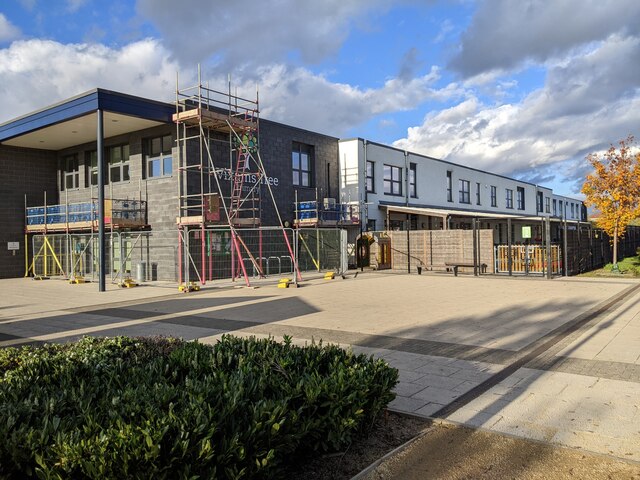
Wixams Academy
Wixams Academy is a co-educational secondary school and sixth form located in Wixams in the English county of Bedfordshire.The school was constructed by...

Wixams
Wixams is a new town and civil parish located in Bedfordshire, England, which has been under construction since early 2007. It is expected to become the...
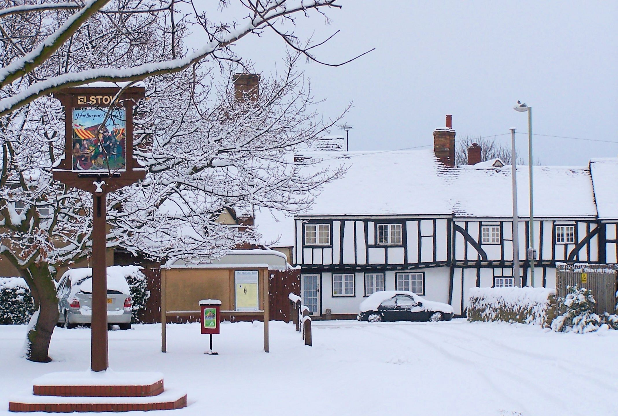
Elstow
Elstow is a village and civil parish in the Borough of Bedford, Bedfordshire, England, about 2 miles (3.2 km) south of Bedford town centre. == History... ==
ROF Elstow
Royal Ordnance Factory (ROF) Elstow was one of sixteen UK Ministry of Supply, World War II, Filling Factories. It was a medium-sized filling factory,...
Related Videos
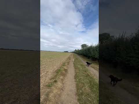

My FAVOURITE Hike 🇬🇧 #wow #hiking #adventure #happy #uk #travel #vacationideas #omg #summer
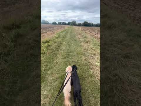
This was a 7.5KM hike around Wilstead up towards Haynes and back around. #wow #travel #vacationideas #omg #summer ...

Nearby Amenities
Located within 500m of 52.096062,-0.46314264Have you been to Causeway Lake?
Leave your review of Causeway Lake below (or comments, questions and feedback).