Great Witchingham
Settlement in Norfolk Broadland
England
Great Witchingham

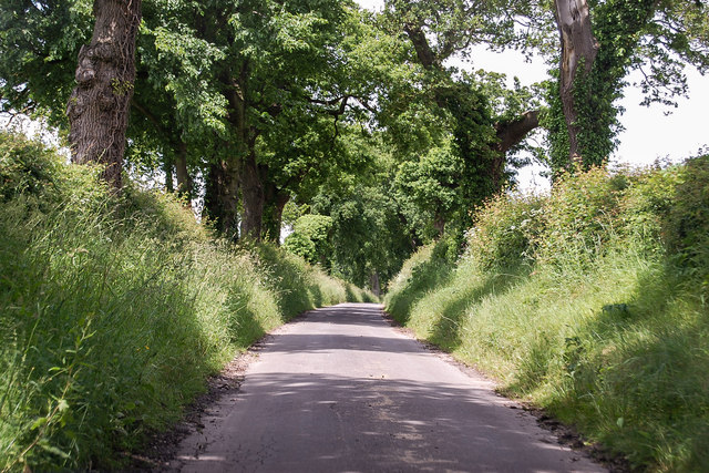
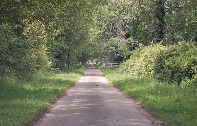
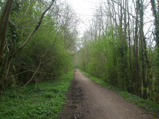
Great Witchingham is a small village located in the English county of Norfolk. Situated approximately 12 miles northwest of Norwich, the village is part of the Broadland district. It is surrounded by picturesque countryside and offers a peaceful and rural environment.
The village of Great Witchingham is home to a population of around 400 people. It is primarily a residential area, with many of its residents commuting to nearby towns and cities for work. The village is characterized by its charming and traditional architecture, with a mix of period cottages and more modern houses.
Great Witchingham is known for its close proximity to the River Wensum, a popular location for fishing and boating enthusiasts. The river also provides pleasant walks along its banks, offering stunning views of the surrounding countryside.
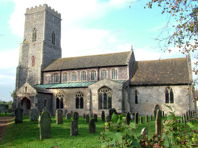
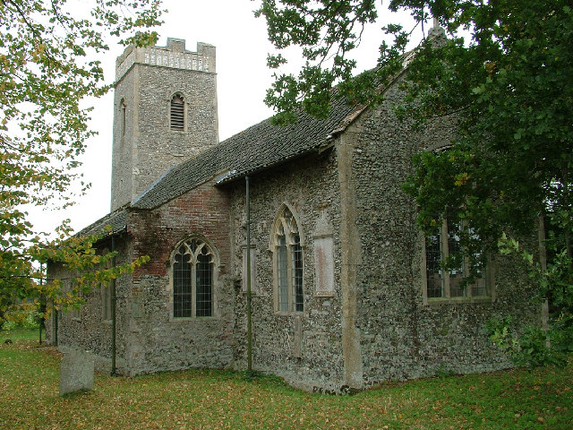
One of the notable landmarks in the village is the Church of St. Mary the Virgin. This historic church dates back to the 14th century and is known for its beautiful stained glass windows and intricate carvings. It serves as a focal point for the local community and hosts regular religious services.
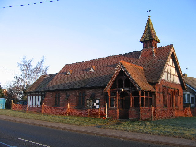
Although Great Witchingham is a small village, it offers a range of amenities including a local pub, a village hall, and a primary school. Nearby towns such as Reepham and Taverham provide additional facilities and services for residents.
Overall, Great Witchingham is a tranquil and idyllic village that appeals to those seeking a peaceful and rural lifestyle in the heart of the Norfolk countryside.
If you have any feedback on the listing, please let us know in the comments section below.
Great Witchingham Images
Images are sourced within 2km of 52.736829/1.1091703 or Grid Reference TG1020. Thanks to Geograph Open Source API. All images are credited.


Great Witchingham is located at Grid Ref: TG1020 (Lat: 52.736829, Lng: 1.1091703)
Administrative County: Norfolk
District: Broadland
Police Authority: Norfolk
What 3 Words
///ducks.pickup.reward. Near Reepham, Norfolk
Nearby Locations
Related Wikis
Great Witchingham
Great Witchingham is a village and civil parish in the English county of Norfolk about 11 miles (18 km) north-west of Norwich. It covers an area of 9.12...
Whitwell Common SSSI
Whitwell Common is a 19.4-hectare (48-acre) biological Site of Special Scientific Interest north-east of Dereham in Norfolk.This common in the valley...

River Ainse (or Eyn)
The River Ainse (or Eyn) is a small river in the county of Norfolk. It is a tributary of the River Wensum which it merges with at Lenwade. The River Ainse...
St Faith's Church, Little Witchingham
St Faith's Church is a redundant Anglican church in the village of Little Witchingham in Norfolk, England. It is recorded in the National Heritage List...
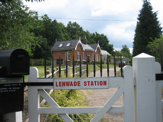
Lenwade railway station
Lenwade railway station was a railway station in North Norfolk, England. It was built by the Lynn and Fakenham Railway Company in 1882 and taken over by...

Lenwade
Lenwade is a village in the civil parish of Great Witchingham, Norfolk, situated in the Wensum Valley adjacent to the A1067 road 14 miles (23 km) south...
Whitwell & Reepham railway station
Whitwell and Reepham railway station, also known as Whitwell station, is a former station situated in Norfolk, England. The station closed in 1959 and...
Little Witchingham
Little Witchingham is a village and civil parish in the English county of Norfolk. It covers an area of 3.01 km2 (1.16 sq mi) and had a population of 36...
Nearby Amenities
Located within 500m of 52.736829,1.1091703Have you been to Great Witchingham?
Leave your review of Great Witchingham below (or comments, questions and feedback).