Broad Water
Lake, Pool, Pond, Freshwater Marsh in Middlesex
England
Broad Water

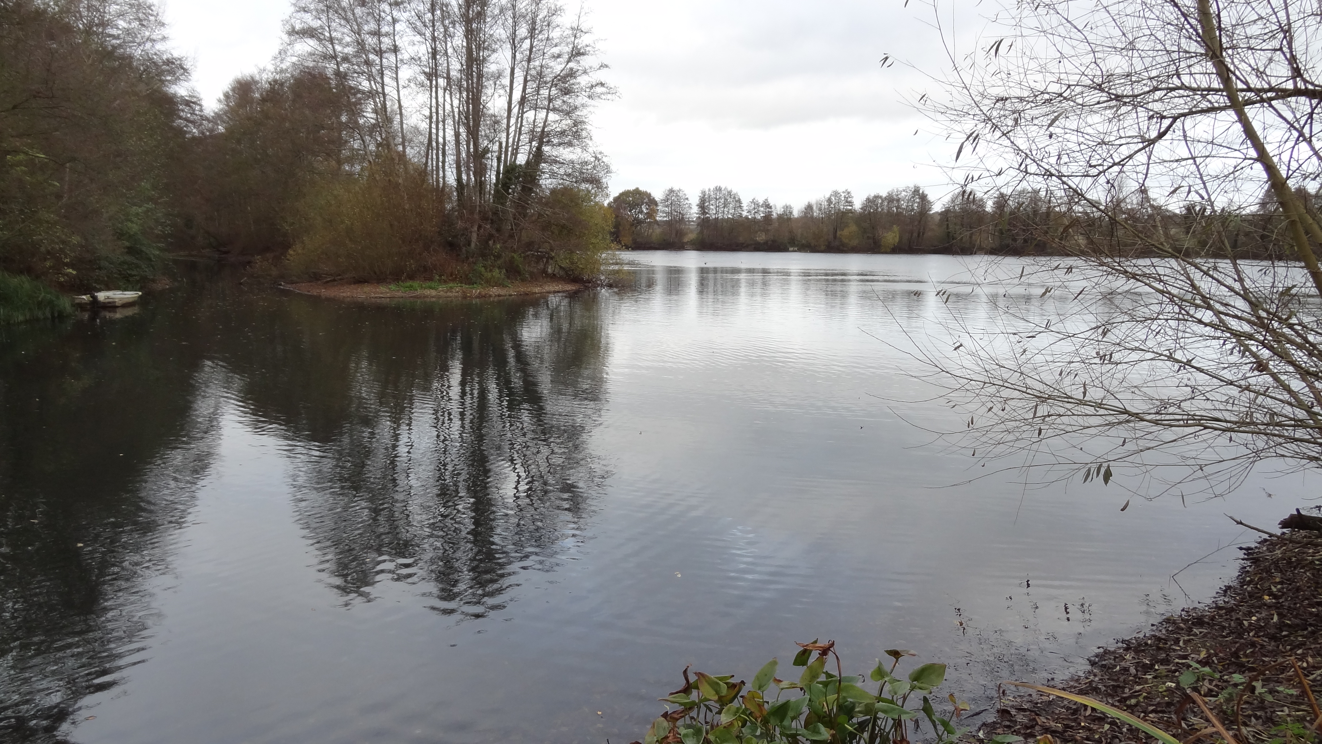
Broad Water is a picturesque body of water situated in Middlesex, England. This serene and idyllic location is a popular destination for nature enthusiasts and locals seeking tranquility. Broad Water is a multifaceted water body that comprises a lake, a pool, a pond, and a freshwater marsh, each contributing to its unique ecosystem.
The lake in Broad Water is a sizeable expanse of water, known for its crystal-clear and calm surface. It is a haven for water birds, providing them with a habitat rich in aquatic plants and fish. Visitors can often spot various species of ducks, geese, and swans gracefully gliding across the lake.
Adjacent to the lake is a smaller pool, which is slightly shallower and more secluded. This area is ideal for those who prefer a quieter experience, as it is often less frequented. The pool is home to a diverse range of aquatic life, including small fish, frogs, and water insects.
A pond can also be found within the Broad Water area, situated amidst lush greenery. This smaller water body is teeming with life, with an abundance of plant species growing around its banks. Frogs, newts, and dragonflies are commonly sighted around the pond, making it a captivating spot for nature lovers.
Lastly, the freshwater marsh in Broad Water is a wetland area characterized by its tall grasses and reeds. This marshland acts as a natural filter, purifying the water and providing a habitat for numerous bird species, including herons and kingfishers.
Overall, Broad Water in Middlesex is a scenic and diverse water body, offering visitors a chance to immerse themselves in nature and observe its various inhabitants.
If you have any feedback on the listing, please let us know in the comments section below.
Broad Water Images
Images are sourced within 2km of 51.590805/-0.48699453 or Grid Reference TQ0489. Thanks to Geograph Open Source API. All images are credited.


Broad Water is located at Grid Ref: TQ0489 (Lat: 51.590805, Lng: -0.48699453)
Unitary Authority: Hillingdon
Police Authority: Metropolitan
What 3 Words
///bless.push.talent. Near Harefield, London
Nearby Locations
Related Wikis
Mid Colne Valley
Mid Colne Valley is a 132 hectare biological Site of Special Scientific Interest in Harefield in the London Borough of Hillingdon and Denham in South Buckinghamshire...
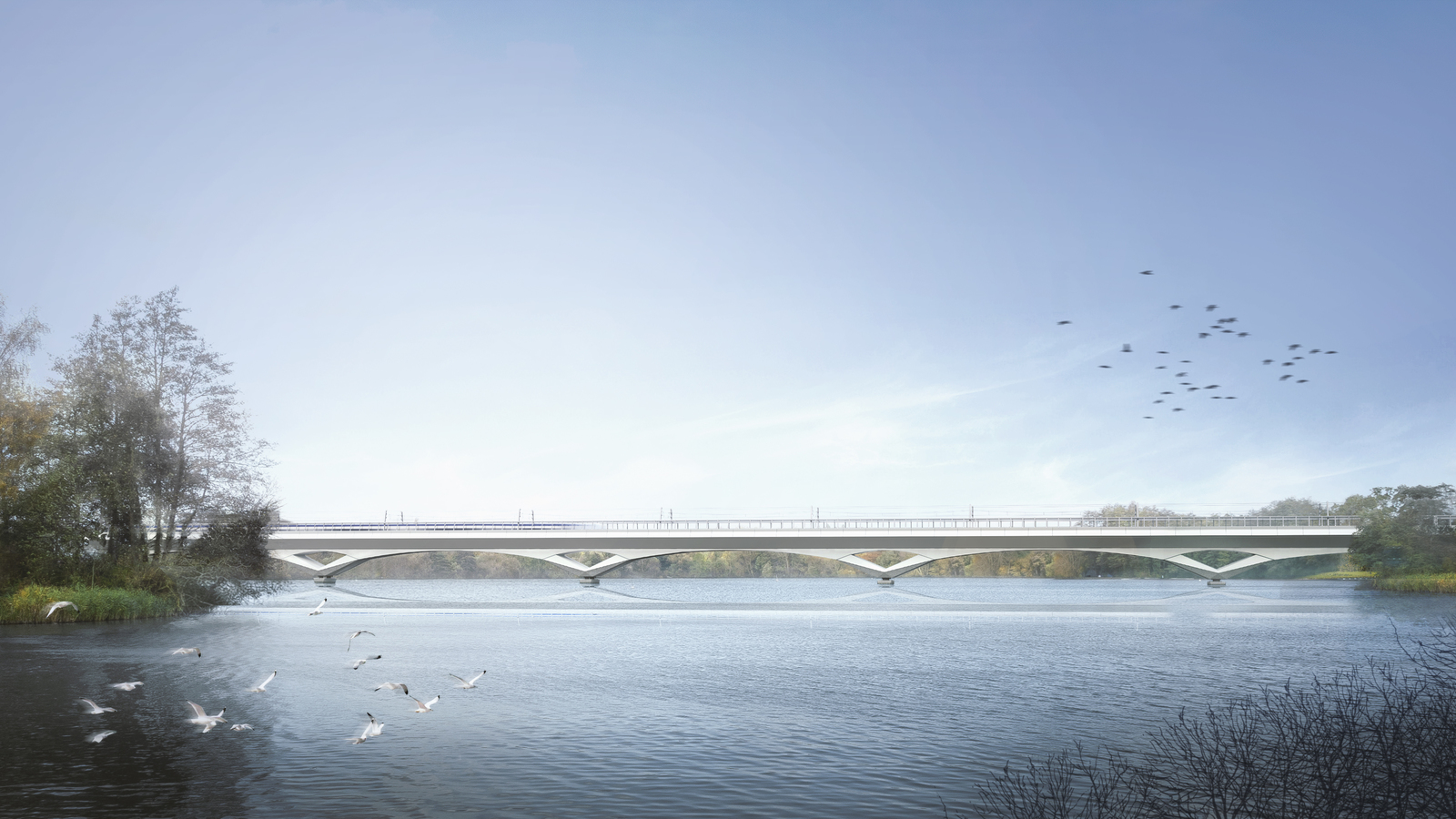
Colne Valley Viaduct
The Colne Valley Viaduct is a bridge, under construction as of 2023, which will carry the High Speed 2 railway over the Colne Valley Regional Park and...

Harefield Pit
Harefield Pit is a 1.8-hectare geological Site of Special Scientific Interest in Harefield in the London Borough of Hillingdon. It occupies much of a partially...
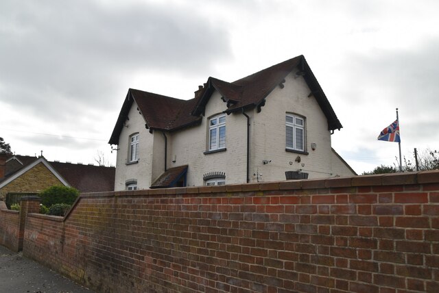
Savay Farm
Savay Farm is a Grade I listed twelfth century farmhouse in Denham, Buckinghamshire, England.The house has a timber frame and red brick nogging.It was...
Denham Film Studios
Denham Film Studios was a British film production studio operating from 1936 to 1952, founded by Alexander Korda, in Buckinghamshire. Notable films made...

Dews Farm Sand Pits
Dews Farm Sand Pits is a 1.2-hectare (3.0-acre) nature reserve near Harefield in the London Borough of Hillingdon. It is managed by the London Wildlife...
Harefield United F.C.
Harefield United Football Club are an English football club based in Harefield in the London Borough of Hillingdon. The club is the oldest in Middlesex...
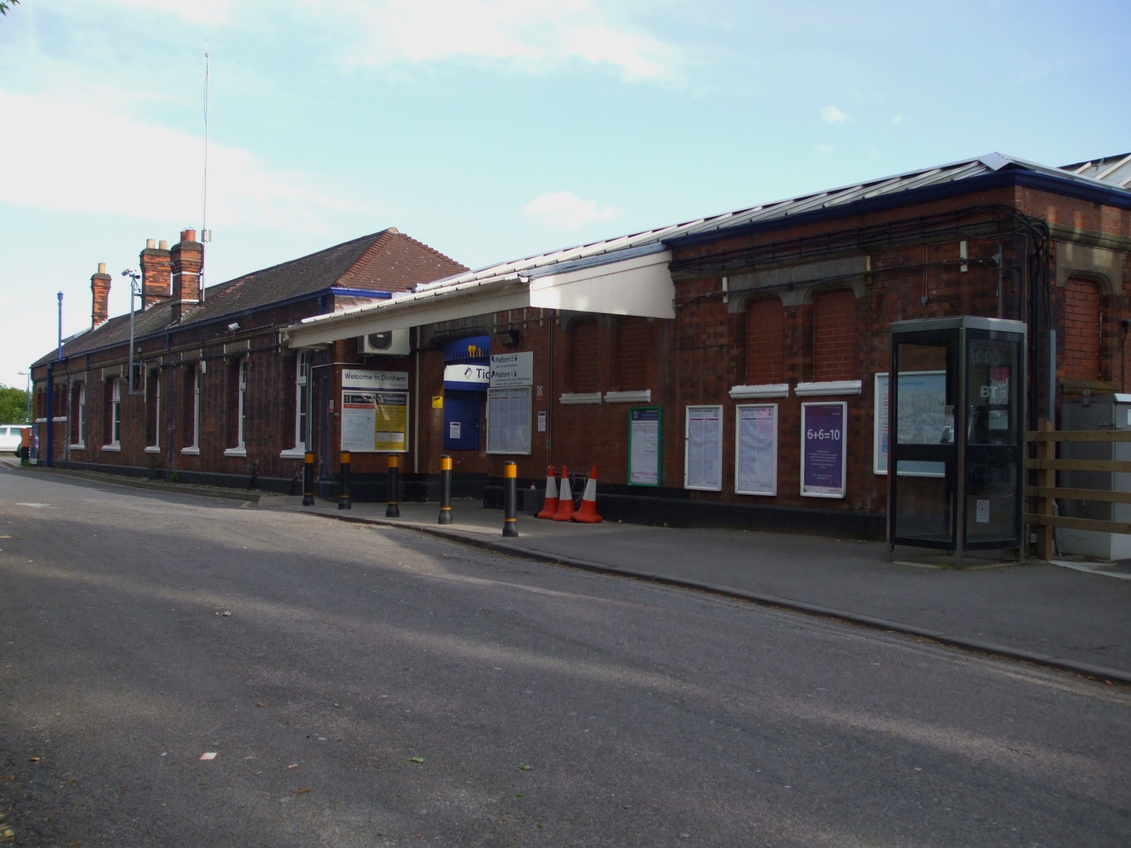
Denham railway station
Denham railway station is a railway station in the village of Denham in Buckinghamshire, England. It is on the Chiltern Main Line between West Ruislip...
Nearby Amenities
Located within 500m of 51.590805,-0.48699453Have you been to Broad Water?
Leave your review of Broad Water below (or comments, questions and feedback).