Lynsters Lake

Lake, Pool, Pond, Freshwater Marsh in Hertfordshire Three Rivers

England

Lynsters Lake

Springwell Lake  Maple Cross The historic map was created before this lake was dug as a gravel pit.This area of the River Colne has a large number of lakes all attractive to birdlife.
Springwell Lake Maple Cross Credit: Jack Hill

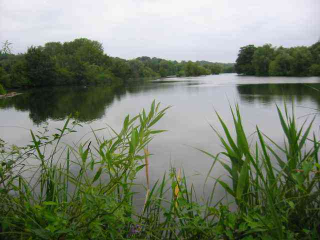
Lynsters Lake, located in Hertfordshire, is a stunning freshwater body encompassing various natural features such as a lake, pool, pond, and freshwater marsh. Situated amidst picturesque surroundings, it offers a serene and tranquil environment for visitors to immerse themselves in nature's beauty.

The lake itself spans a significant area, providing ample space for recreational activities such as boating and fishing. The crystal-clear waters of Lynsters Lake are home to diverse aquatic life, including fish species like carp and perch, making it an ideal spot for anglers seeking a peaceful fishing experience.

Adjacent to the lake lies a pool, a smaller body of water that attracts a variety of waterfowl. This makes it a haven for birdwatchers, who can observe species like ducks, geese, and swans in their natural habitat. The presence of these feathered inhabitants adds to the picturesque scenery of the lake.

A pond, brimming with freshwater flora and fauna, can also be found within the vicinity of Lynsters Lake. This smaller body of water offers a closer look at the intricate ecosystem, allowing visitors to appreciate the delicate balance of life within.

Furthermore, a freshwater marsh encompasses a portion of the lake, creating a habitat for an array of plant and animal species. The marshland serves as a breeding ground for various aquatic organisms and provides a sanctuary for wetland birds.

Overall, Lynsters Lake in Hertfordshire presents a harmonious blend of natural features, offering a diverse range of experiences for nature enthusiasts, anglers, and birdwatchers alike.

If you have any feedback on the listing, please let us know in the comments section below.

Lynsters Lake Images

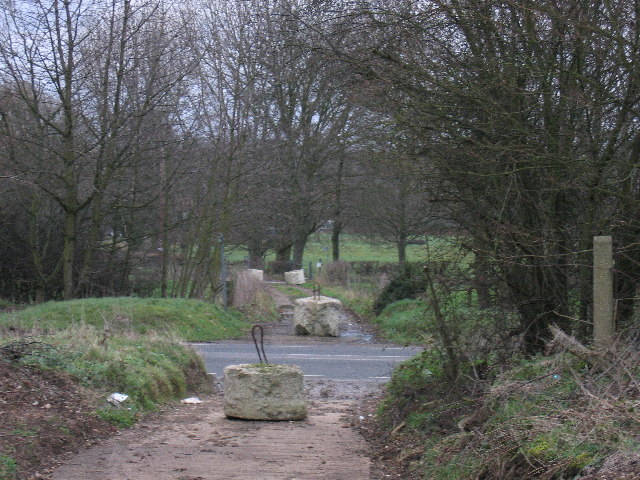
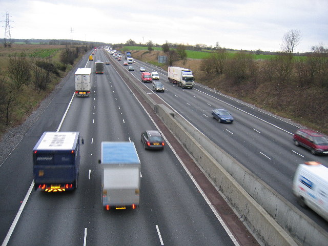
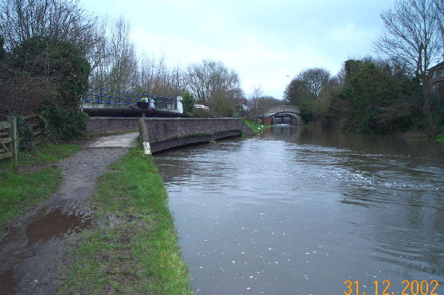
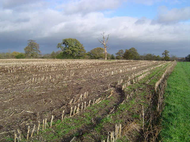
Images are sourced within 2km of 51.614229/-0.5010492 or Grid Reference TQ0391. Thanks to Geograph Open Source API. All images are credited.

Springwell Lake  Maple Cross The historic map was created before this lake was dug as a gravel pit.This area of the River Colne has a large number of lakes all attractive to birdlife.
Springwell Lake Maple Cross
The historic map was created before this lake was dug as a gravel pit.This area of the River Colne has a large number of lakes all attractive to birdlife.
Mini Roundabout at Harefield This is the town centre with the green visible across the road. Harefield hospital is the location for the 
heart transplant pioneers.
Mini Roundabout at Harefield
This is the town centre with the green visible across the road. Harefield hospital is the location for the heart transplant pioneers.
Kings Arms Pub at Harefield the Mini roundabout is just to the right
Kings Arms Pub at Harefield
the Mini roundabout is just to the right
Horses at Colney Farm Harefield This farm is at the edge of the village facing west
over the Colne Valley
Horses at Colney Farm Harefield
This farm is at the edge of the village facing west over the Colne Valley
The Coy Carp This pub sits alongside the Grand Union Canal .
The Coy Carp
This pub sits alongside the Grand Union Canal .
The Oaks Pub West Hyde. The road to the right leads to the Coy Carp Pub
The Oaks Pub West Hyde.
The road to the right leads to the Coy Carp Pub
The Cross Pub at Maple Cross This intersection is a busy one
The Cross Pub at Maple Cross
This intersection is a busy one
Business Park at Maple Cross The area is very convenient for the M25 just a mile away
Business Park at Maple Cross
The area is very convenient for the M25 just a mile away
Business Park Maple Cross The modern buildings contrast strongly with the 
archaic village atmosphere.
Business Park Maple Cross
The modern buildings contrast strongly with the archaic village atmosphere.
Housing alongside the Grand Union Canal  Harefield This is an idyllic spot with facilities for moorings, watching the boats feeding the ducks, fishing and going to the pub called "The Coy Carp"
Housing alongside the Grand Union Canal Harefield
This is an idyllic spot with facilities for moorings, watching the boats feeding the ducks, fishing and going to the pub called "The Coy Carp"
The path to the canal
Stile and meadow running down to the Grand Union Canal
The Coy Carp
The Coy Carp
Concrete blocks on the path crossing the A412. The concrete blocks seem to have been left to prevent fly-tippers dumping and gypsies camping
Concrete blocks on the path crossing the A412.
The concrete blocks seem to have been left to prevent fly-tippers dumping and gypsies camping
M25 looking south
M25 looking south
Grand Union Canal: at Springwell, near Rickmansworth The River Colne flows into and out of the Grand Union Canal in several locations downstream of Rickmansworth. Here one of the braids of the Colne in  spate is pictured joining the canal from under the towpath bridge. The distant bridge over the canal is the Springwell Lane road bridge with the lock gates just visible through the bridge arch.
Grand Union Canal: at Springwell, near Rickmansworth
The River Colne flows into and out of the Grand Union Canal in several locations downstream of Rickmansworth. Here one of the braids of the Colne in spate is pictured joining the canal from under the towpath bridge. The distant bridge over the canal is the Springwell Lane road bridge with the lock gates just visible through the bridge arch.
Harefield: Park Wood, Hill End Along the route of the Hillingdon Trail footpath, the function of the metal gate is lost in the mists of time...
Harefield: Park Wood, Hill End
Along the route of the Hillingdon Trail footpath, the function of the metal gate is lost in the mists of time...
Harefield: Stubble field, Hill End Viewed looking north eastwards along the Hillingdon Trail footpath.
Harefield: Stubble field, Hill End
Viewed looking north eastwards along the Hillingdon Trail footpath.
Show me another place!

Lynsters Lake is located at Grid Ref: TQ0391 (Lat: 51.614229, Lng: -0.5010492)

Administrative County: Hertfordshire

District: Three Rivers

Police Authority: Hertfordshire

What 3 Words

///record.rescue.lungs. Near Maple Cross, Hertfordshire

Related Wikis

West Hyde

West Hyde is a village situated alongside the A412 road, in the Three Rivers District in south-west Hertfordshire, England. At the 2011 the population...

Uxbridge power station

Uxbridge power station supplied electricity to the District of Uxbridge and the surrounding area from 1902 to 1962. The power station was built by the...
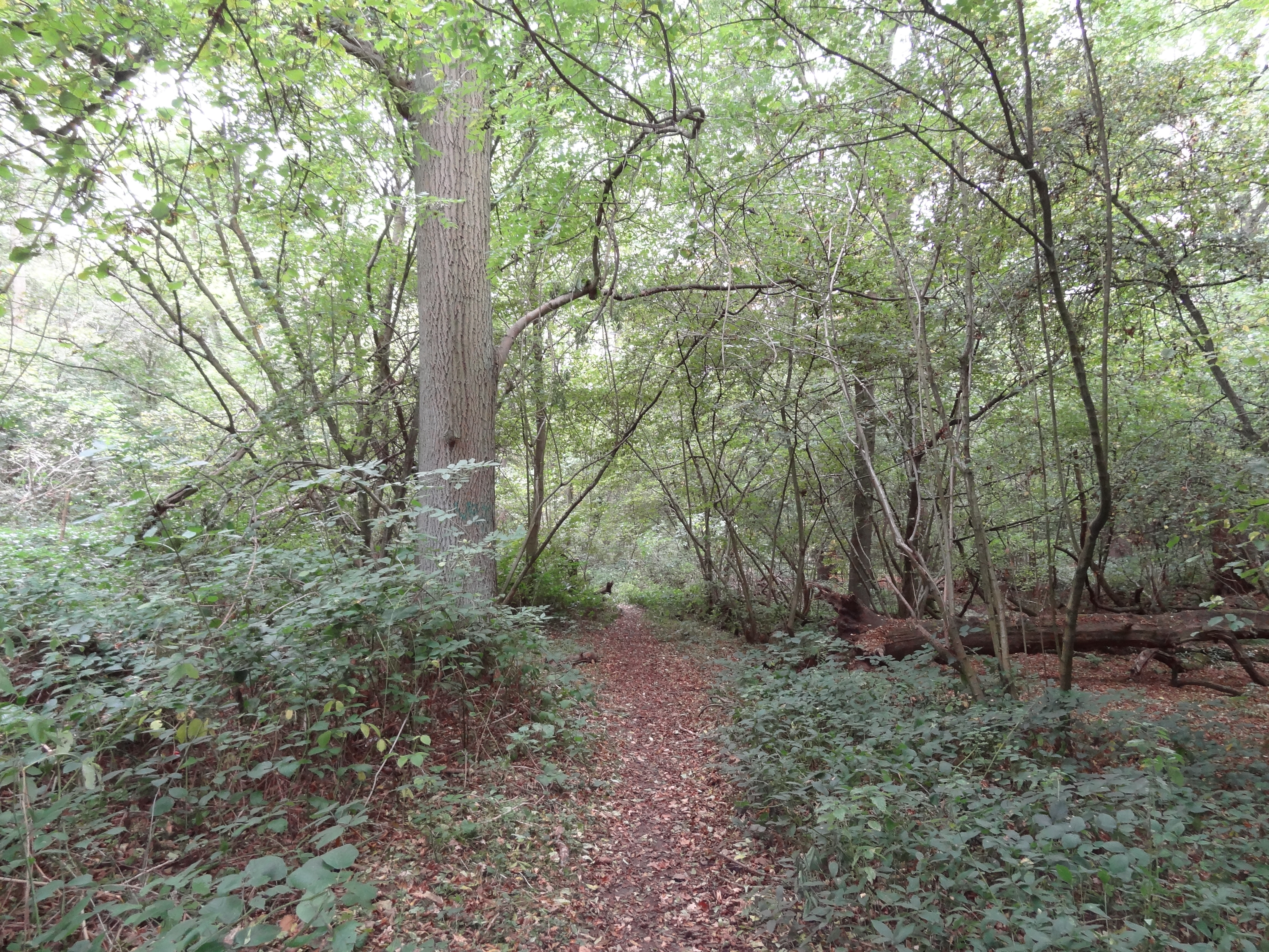
Old Park Wood

Old Park Wood is a 16.7-hectare (41-acre) Site of Special Scientific Interest in Harefield in the London Borough of Hillingdon. The south-east part is...

Maple Cross

Maple Cross is a village in Hertfordshire, England, which up until the Second World War consisted of an inn, a blacksmith's shop and a few cottages. Today...
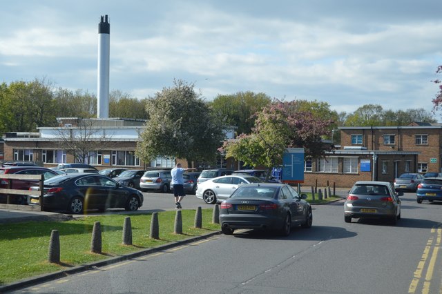
Harefield Hospital

Harefield Hospital is a health institution in Harefield, London Borough of Hillingdon, England. It is managed by the Guy's and St Thomas' NHS Foundation...

Chiltern tunnel

The Chiltern Tunnel is a high-speed railway tunnel currently under construction in Buckinghamshire and Hertfordshire, England, and will upon completion...

Stocker's Lake

Stocker's Lake is an old flooded gravel pit of approx 90 acres (37.5ha) at Rickmansworth, Hertfordshire, England, within the Colne Valley Regional Park...

Harefield

Harefield is a village in the London Borough of Hillingdon, England, 17 miles (27 km) northwest of Charing Cross near Greater London's boundary with Buckinghamshire...

Nearby Amenities

Located within 500m of 51.614229,-0.5010492
Waterway: lock_gate
Lat/Long: 51.6108239/-0.498429
Ref GB Tflcid: RWG242245
Traffic Calming: hump
Lat/Long: 51.6110783/-0.49689
Ref GB Tflcid: RWG242244
Traffic Calming: hump
Lat/Long: 51.6116226/-0.4965264
Ref GB Tflcid: RWG242240
Traffic Calming: hump
Lat/Long: 51.6118976/-0.4976867
Ref GB Tflcid: RWG242242
Traffic Calming: hump
Lat/Long: 51.6129326/-0.4972596
Coppermill Lock Weir Entrance Turning Point
Access: customers
Maxlength: 22
Operator: Canal and River Trust
Waterway: turning_point
Lat/Long: 51.6112959/-0.4982426
Waterway: lock_gate
Lat/Long: 51.6110566/-0.4983516
Waste Disposal
Coppermill Lock Rubbish Disposal
Access: permissive
Centralkey: no
Operator: Canal and River Trust
Waste: trash
Waterway: waste_disposal
Lat/Long: 51.6099883/-0.4989079
Water Point
Coppermill Lock Water Point
Access: permissive
Drinking Water: yes
Man Made: water_tap
Operator: Canal and River Trust
Waterway: water_point
Lat/Long: 51.6106543/-0.4986979
Note: Additional node marks deviation of Low Emission Zone.
Lat/Long: 51.6100838/-0.4989574
Traffic Signals
Traffic Signals: signal
Traffic Signals Direction: forward
Lat/Long: 51.6100512/-0.4993335
Bench
Backrest: yes
Material: wood
Lat/Long: 51.6106456/-0.4987027
Bench
Backrest: yes
Material: wood
Lat/Long: 51.6106336/-0.4987065
Traffic Calming: hump
Lat/Long: 51.6100543/-0.4988482
Traffic Calming: hump
Lat/Long: 51.610852/-0.4985358
Traffic Calming: hump
Lat/Long: 51.6104182/-0.4987389
Traffic Calming: hump
Lat/Long: 51.6110901/-0.4984537
Traffic Calming: hump
Lat/Long: 51.6125073/-0.4978516
Traffic Calming: hump
Lat/Long: 51.6129919/-0.4976421
Traffic Calming: hump
Lat/Long: 51.6143984/-0.4974554
Ref GB Tflcid: RWG242241
Traffic Calming: hump
Lat/Long: 51.6124338/-0.497462
Ref GB Tflcid: RWG242246
Traffic Calming: hump
Lat/Long: 51.6105779/-0.4968344
The data included in this document is from www.openstreetmap.org. The data is made available under ODbL.

Have you been to Lynsters Lake?

Leave your review of Lynsters Lake below (or comments, questions and feedback).