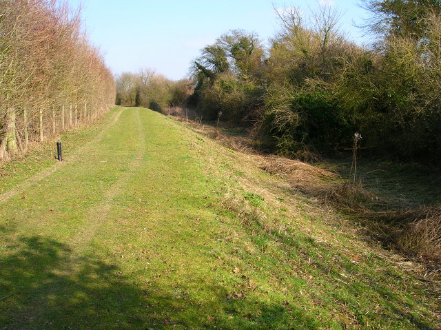
West Lake
Lake, Pool, Pond, Freshwater Marsh in Sussex Arun
England
West Lake

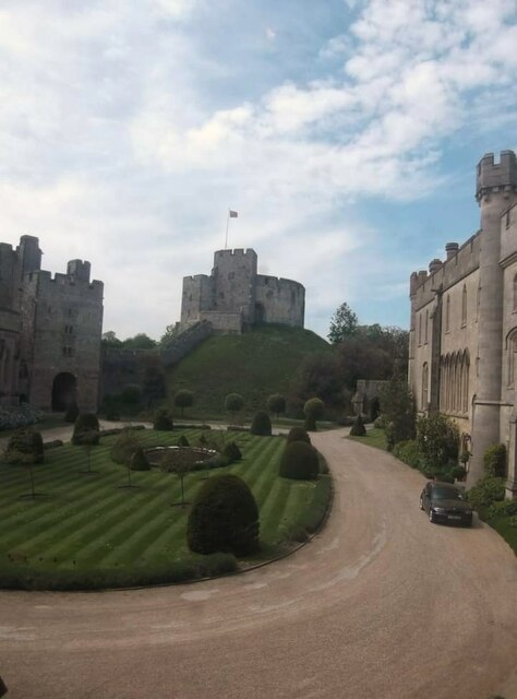
West Lake, Sussex is a serene freshwater body located in the picturesque county of Sussex, England. It is an idyllic lake nestled amidst lush greenery and rolling hills, offering a tranquil oasis for both locals and tourists alike.
With its crystal-clear waters, West Lake is a popular destination for water-based activities and leisurely pursuits. Spanning an area of approximately 10 acres, the lake is expansive enough to accommodate a range of activities, including boating, kayaking, and fishing. The calm and peaceful atmosphere makes it an ideal spot for anglers seeking solitude and a chance to catch various freshwater fish species, such as carp, pike, and roach.
Surrounding the lake, one can find a diverse ecosystem of flora and fauna. The shores are adorned with vibrant reed beds and aquatic plants, providing a habitat for numerous bird species, including swans, ducks, and herons. The lake is also home to a variety of aquatic life, such as frogs, newts, and dragonflies, adding to the biodiversity of the area.
West Lake is not just a haven for aquatic life, but also a popular spot for leisurely walks and picnics. Several footpaths wind their way around the lake, offering scenic views and opportunities to immerse oneself in the natural beauty of the surroundings. The tranquil ambiance, combined with the picturesque landscape, makes West Lake a sought-after location for nature enthusiasts and those seeking a peaceful retreat.
In conclusion, West Lake, Sussex is a captivating freshwater body that offers a range of recreational activities, a diverse ecosystem, and a serene atmosphere. Whether one desires a day of fishing, a leisurely boat ride, or a peaceful walk, West Lake is a haven for nature lovers and a true gem of the Sussex countryside.
If you have any feedback on the listing, please let us know in the comments section below.
West Lake Images
Images are sourced within 2km of 50.8563/-0.56525973 or Grid Reference TQ0107. Thanks to Geograph Open Source API. All images are credited.


West Lake is located at Grid Ref: TQ0107 (Lat: 50.8563, Lng: -0.56525973)
Administrative County: West Sussex
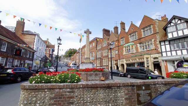
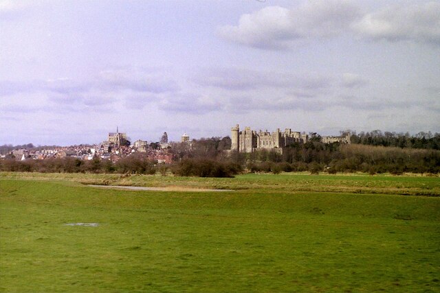
District: Arun
Police Authority: Sussex
What 3 Words
///offstage.champions.limitless. Near Arundel, West Sussex
Nearby Locations
Related Wikis

Arundel and District Hospital
Arundel and District Hospital is a health facility in Chichester Road, Arundel, West Sussex, England. It is managed by the Sussex Community NHS Foundation...
Portsmouth and Arundel Canal
The Portsmouth and Arundel Canal was a canal in the south of England that ran between Portsmouth and Ford in the Arundel district, it was built in 1823...
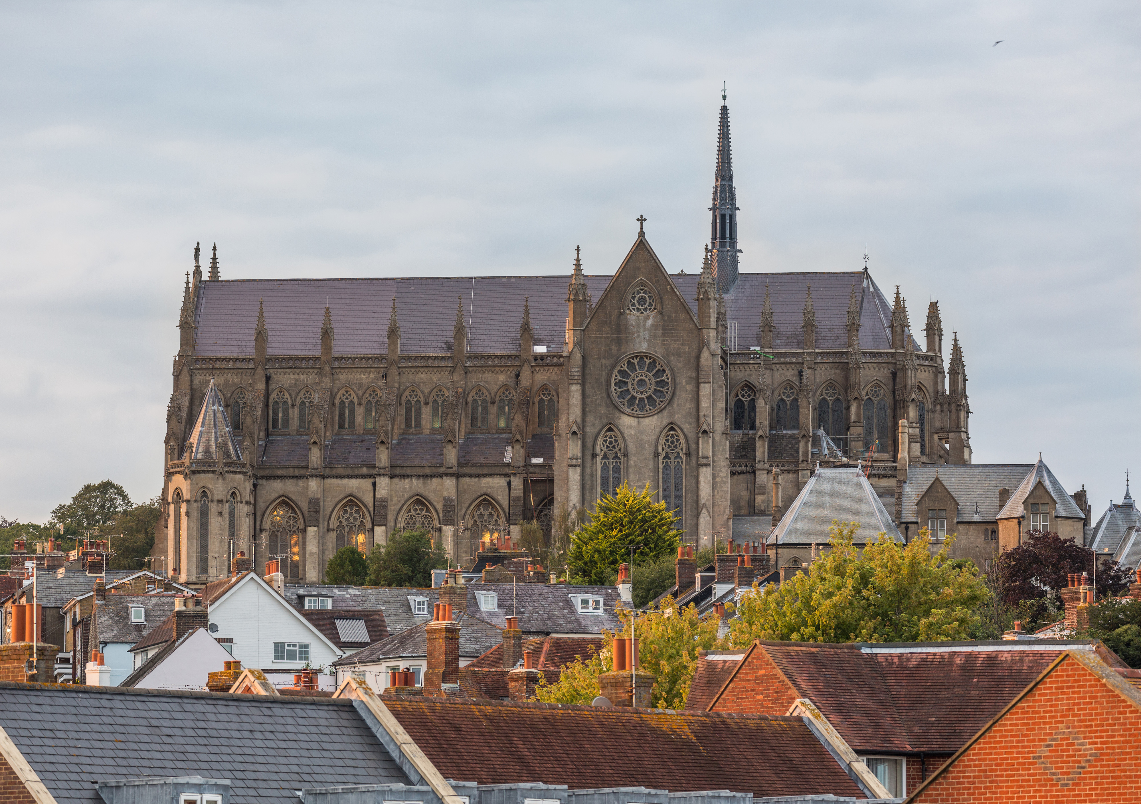
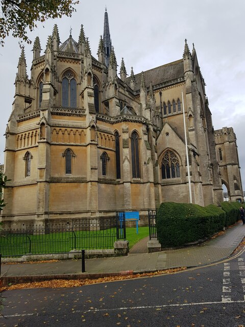
Arundel Cathedral
The Cathedral Church of Our Lady and St Philip Howard is a Roman Catholic cathedral in Arundel, West Sussex, England. Dedicated in 1873 as the Catholic...

Arundel Priory
The Priory of St Nicholas was established at Arundel in West Sussex, England by Roger de Montgomery, earl of Shrewsbury, in 1102, when Gratian, a monk...
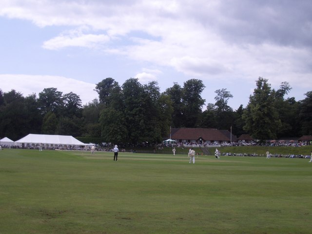
Arundel Castle Cricket Ground
Arundel Castle Cricket Ground is a cricket ground in Arundel, West Sussex, England, nearby to Arundel Castle. It has been in use since 1952. The ground...

Fitzalan Chapel
The Fitzalan Chapel is the chancel of the church of St Nicholas in the western grounds of Arundel Castle, in West Sussex, England. The church is one of...
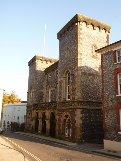
Arundel Town Hall
Arundel Town Hall is a municipal building in Maltravers Street in Arundel, West Sussex, England. The building, which is the meeting place of Arundel Town...
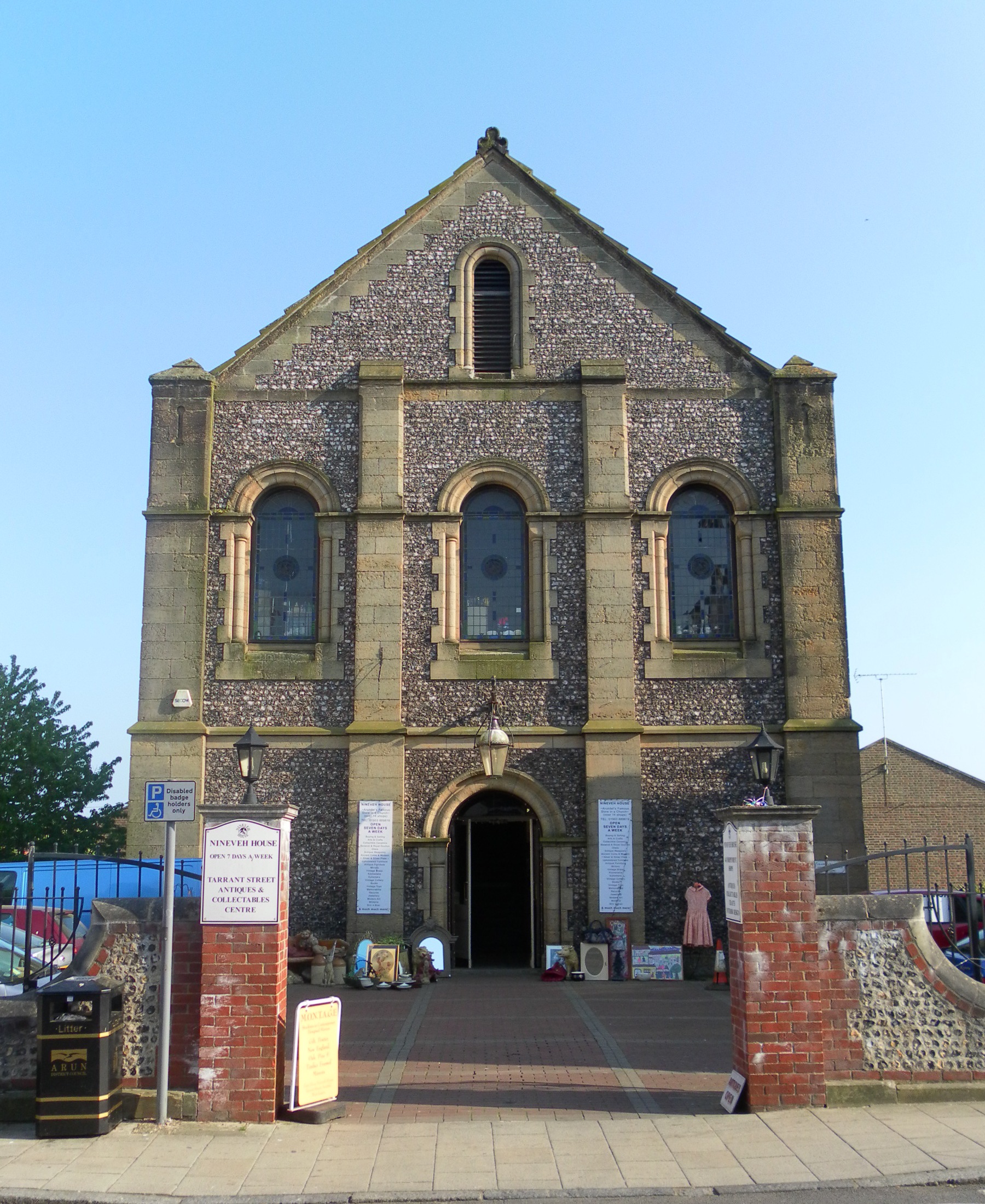
Trinity Congregational Church, Arundel
Trinity Congregational Church, later known as Union Chapel, is a former place of worship for Congregationalists and Independent Christians in Arundel,...
Nearby Amenities
Located within 500m of 50.8563,-0.56525973Have you been to West Lake?
Leave your review of West Lake below (or comments, questions and feedback).