Great Wigborough

Settlement in Essex Colchester

England

Great Wigborough

Abberton Reservoir from Layer Breton Hill
Abberton Reservoir from Layer Breton Hill Credit: PAUL FARMER

Great Wigborough is a small village located in the county of Essex, England. Situated about 6 miles southeast of Colchester, it falls within the Colchester borough and the electoral ward of Tiptree. The village has a population of around 400 residents according to the latest available data.

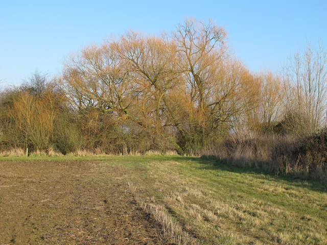
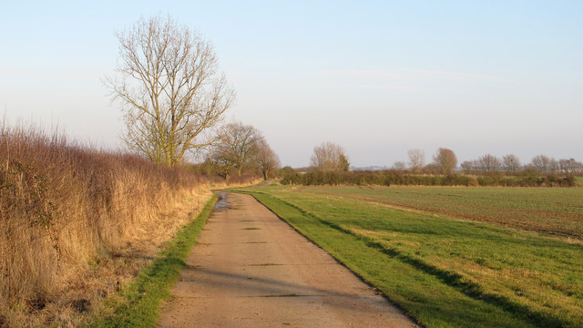
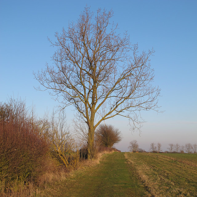
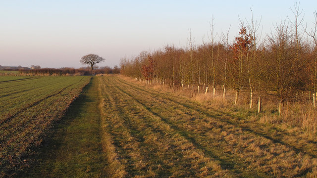
The settlement is nestled amidst picturesque countryside, offering beautiful views and a serene environment. Great Wigborough is surrounded by expansive farmlands, featuring rolling hills and scattered woodlands. It is a rural community that epitomizes the quintessential English countryside.

The village itself is characterized by a mix of architectural styles, with a range of buildings dating back to different periods. Traditional thatched cottages, red-brick houses, and timber-framed structures can be found throughout Great Wigborough, giving it a charming and timeless feel.

In terms of amenities, the village has a small primary school that serves the local community. There are no shops or commercial establishments within Great Wigborough, but residents can easily access a wider range of amenities in nearby towns such as Colchester and Tiptree.

The village is also blessed with a strong sense of community spirit, with various social and recreational activities organized by local groups. Additionally, the surrounding countryside offers numerous opportunities for outdoor pursuits, including walking, cycling, and exploring the beautiful Essex countryside.

In summary, Great Wigborough is a tranquil and idyllic village, offering a peaceful rural setting and a close-knit community. It is a place where residents can enjoy the beauty of the English countryside while still having access to nearby towns for their everyday needs.

If you have any feedback on the listing, please let us know in the comments section below.

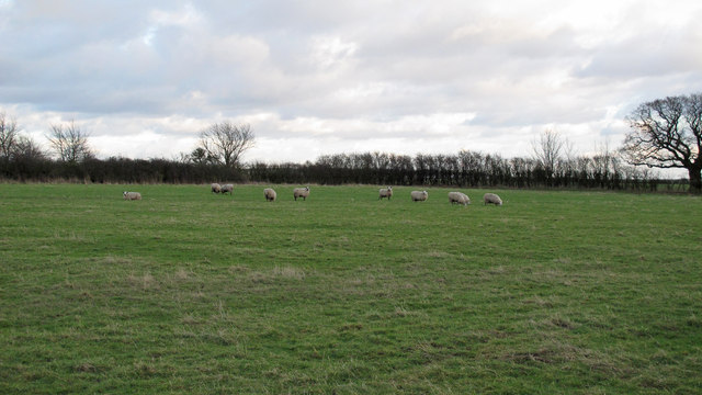
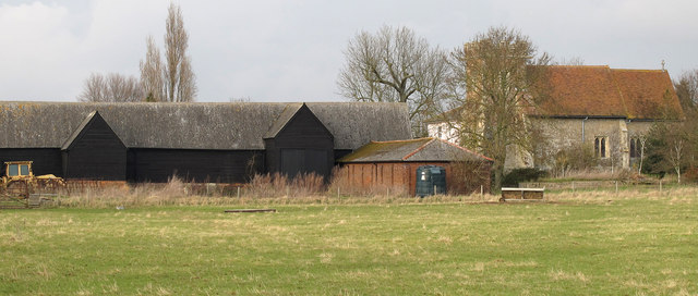
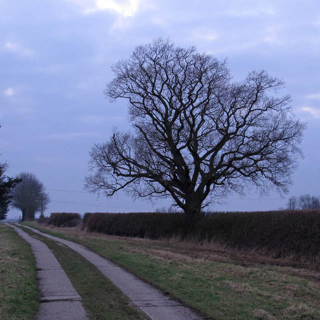
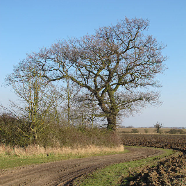
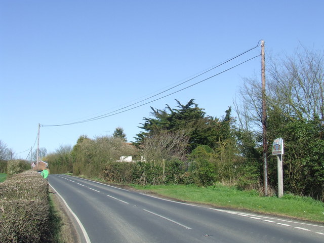
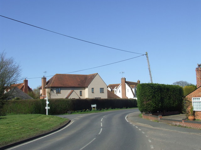
Great Wigborough Images

Images are sourced within 2km of 51.802862/0.847493 or Grid Reference TL9615. Thanks to Geograph Open Source API. All images are credited.

Abberton Reservoir from Layer Breton Hill
Abberton Run Dry Normally the bridge in the picture is only seen in years of severe drought. 
See <a href="https://www.geograph.org.uk/photo/66941">TL9516 : Abberton Drought</a> this time it is due to the works involved in raising the level of the water by over 3 metres. See <span class="nowrap"><a title="http://www.eswater.co.uk/TheAbbertonscheme.aspx" rel="nofollow ugc noopener" href="http://www.eswater.co.uk/TheAbbertonscheme.aspx">Link</a><img style="margin-left:2px;" alt="External link" title="External link - shift click to open in new window" src="https://s1.geograph.org.uk/img/external.png" width="10" height="10"/></span> for more info
Abberton Run Dry
Normally the bridge in the picture is only seen in years of severe drought. See TL9516 : Abberton Drought this time it is due to the works involved in raising the level of the water by over 3 metres. See LinkExternal link for more info
Reservoir Road This road crosses the western end of Abberton Reservoir.
Reservoir Road
This road crosses the western end of Abberton Reservoir.
Abberton Reservoir Taken from the road at the western end of the reservoir.
Abberton Reservoir
Taken from the road at the western end of the reservoir.
Egyptian Goose on Abberton Reservoir This is a male Egyptian goose (Alopochen aegyptiacus)
Egyptian Goose on Abberton Reservoir
This is a male Egyptian goose (Alopochen aegyptiacus)
Birds on Abberton Reservoir
Weir on Abberton Reservoir This weir lets water flow from the western Section to the Central Section
Weir on Abberton Reservoir
This weir lets water flow from the western Section to the Central Section
Preparations for Expansion: Sluice on new B1026 Road All the new buildings are being put here because Essex & Suffolk Water want to enlarge the reservoir. The reservoir takes water from the Rivers Stour and Colne; also some water is taken from the Roman River and the Denver Complex in Norfolk as well. The remains of the B1026 road will form a reef; a Tern Raft and an Osprey Platform will also be constructed.
Preparations for Expansion: Sluice on new B1026 Road
All the new buildings are being put here because Essex & Suffolk Water want to enlarge the reservoir. The reservoir takes water from the Rivers Stour and Colne; also some water is taken from the Roman River and the Denver Complex in Norfolk as well. The remains of the B1026 road will form a reef; a Tern Raft and an Osprey Platform will also be constructed.
Field with sheep Sheep at Copt Hall Farm, owned by the National Trust.
Field with sheep
Sheep at Copt Hall Farm, owned by the National Trust.
Farm and Church Copt Hall Farm outbuildings and church of St Nicholas, Little Wigborough.
Farm and Church
Copt Hall Farm outbuildings and church of St Nicholas, Little Wigborough.
Winter Oak Silhouetted against the winter sky, this oak is near the track that leads to Lower Barn <a title="https://www.geograph.org.uk/photo/3328130" href="https://www.geograph.org.uk/photo/3328130">Link</a> at the National Trust's Copt Hall Marshes.
Winter Oak
Silhouetted against the winter sky, this oak is near the track that leads to Lower Barn Link at the National Trust's Copt Hall Marshes.
Oak on field boundary, Abbotts Hall Farm Oak near farm track in arable land at Essex Wildlife Trust's Abbotts Hall Farm, Great Wigborough.
Oak on field boundary, Abbotts Hall Farm
Oak near farm track in arable land at Essex Wildlife Trust's Abbotts Hall Farm, Great Wigborough.
Willow on field boundary, Abbotts Hall Farm One of a number of willows near a pond close to marsh barn at Essex Wildlife Trust's Abbotts Hall Farm, Great Wigborough.
Willow on field boundary, Abbotts Hall Farm
One of a number of willows near a pond close to marsh barn at Essex Wildlife Trust's Abbotts Hall Farm, Great Wigborough.
Track along field boundary,  Abbotts Hall Farm One of the main permissive paths near arable land at Essex Wildlife Trust's Abbotts Hall Farm, Great Wigborough.
Track along field boundary, Abbotts Hall Farm
One of the main permissive paths near arable land at Essex Wildlife Trust's Abbotts Hall Farm, Great Wigborough.
Tree on field boundary, Abbotts Hall Farm Looking east along a field margin and permissive path at Essex Wildlife Trust's Abbotts Hall Farm, Great Wigborough.
Tree on field boundary, Abbotts Hall Farm
Looking east along a field margin and permissive path at Essex Wildlife Trust's Abbotts Hall Farm, Great Wigborough.
Saplings, field margin, arable land: Abbotts Hall Farm Looking north along a permissive path near a small plantation of saplings at Essex Wildlife Trust's Abbotts Hall Farm, Great Wigborough.
Saplings, field margin, arable land: Abbotts Hall Farm
Looking north along a permissive path near a small plantation of saplings at Essex Wildlife Trust's Abbotts Hall Farm, Great Wigborough.
Wigborough Road, Little Wigborough To the right of the image is the village sign for Little Wigborough.
Wigborough Road, Little Wigborough
To the right of the image is the village sign for Little Wigborough.
Great Wigborough, Essex The village of Great Wigborough lies a few miles to the south of Colchester.
Great Wigborough, Essex
The village of Great Wigborough lies a few miles to the south of Colchester.
Show me another place!

Great Wigborough is located at Grid Ref: TL9615 (Lat: 51.802862, Lng: 0.847493)

Administrative County: Essex

District: Colchester

Police Authority: Essex

What 3 Words

///pushes.pegs.fear. Near Tolleshunt Knights, Essex

Related Wikis

Great Wigborough

Great Wigborough is a village and former civil parish, now in the parish of Great and Little Wigborough in the Colchester borough of Essex, England. The...

Abbotts Hall Farm

Abbotts Hall Farm is a 282 hectare nature reserve in Great Wigborough in Essex. It is the head office of the Essex Wildlife Trust, which manages the site...

Great and Little Wigborough

Great and Little Wigborough is a civil parish in the City of Colchester district of Essex, England, about 6 miles (10 km) from Colchester. The parish includes...

Little Wigborough

Little Wigborough is a village and former civil parish, now in the parish of Great and Little Wigborough, in the Colchester borough of Essex, England and...
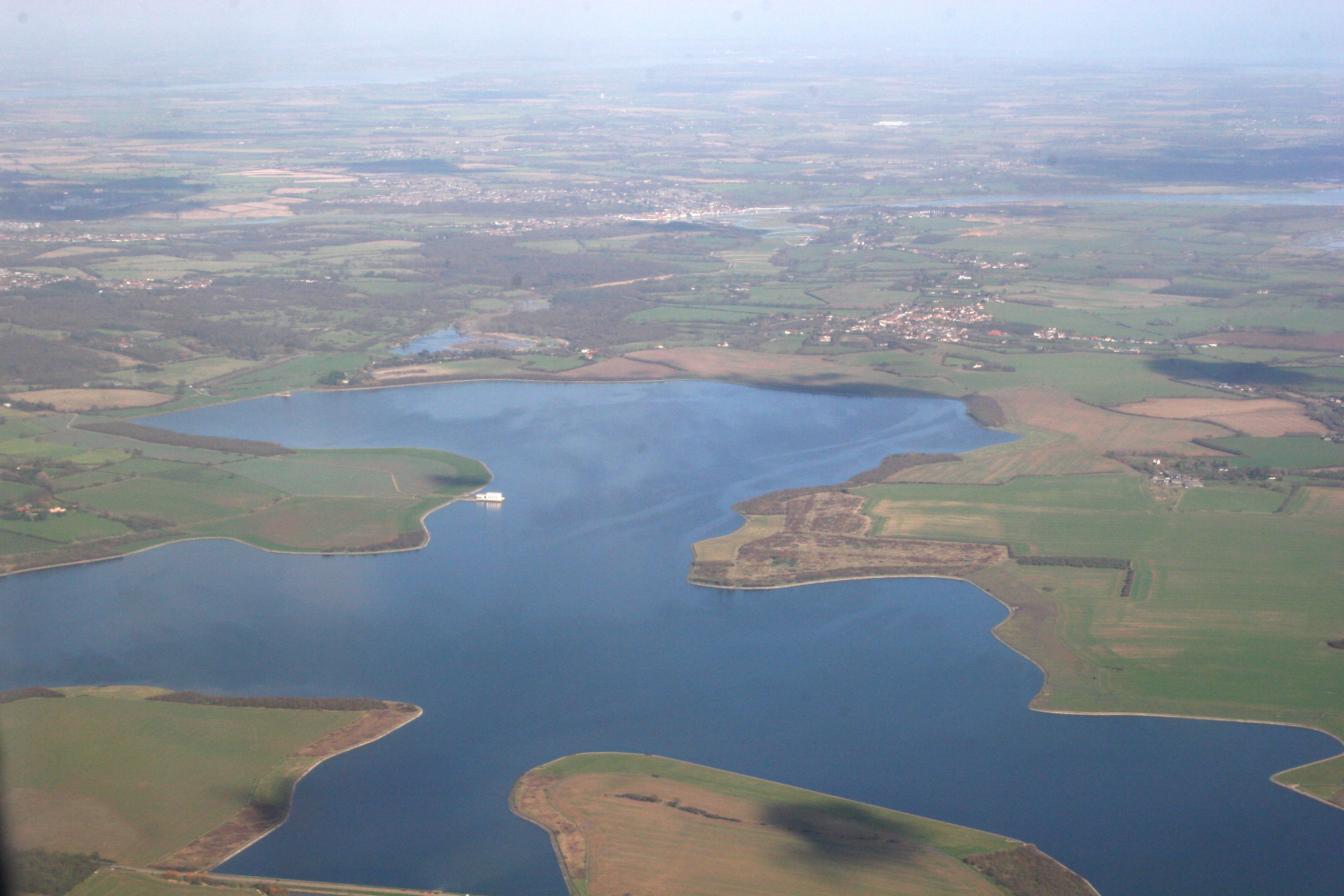
Abberton Reservoir

Abberton Reservoir is a pumped storage freshwater reservoir in eastern England near the Essex coast, with an area of 700 hectares (1,700 acres). Most of...

Virley

Virley is a village and civil parish in the Colchester borough of Essex, England and forms part of the Winstred Hundred grouped parish council. According...

Salcott

Salcott or Salcott cum Virley is a village and civil parish in the Colchester borough of Essex, England, and forms part of the Winstred Hundred grouped...

Peldon

Peldon is a village and civil parish in the Colchester borough of Essex, England. With Salcott, Virley, Great Wigborough and Little Wigborough, it forms...

Nearby Amenities

Located within 500m of 51.802862,0.847493
Great Wigborough
Place: village
Wikidata: Q1861544
Lat/Long: 51.7995922/0.8516339
Drinking Water
Great Wigborough Church
Lat/Long: 51.8048314/0.8528609
Defibrillator
Access: yes
Defibrillator Location: on right hand side of open porch as you face church door
Emergency: defibrillator
Indoor: no
Ref GB The Circuit: B122C77D-81C2-49B1-8B12-B16000CFA9AC
Lat/Long: 51.8047174/0.8531872
Bench
Lat/Long: 51.8046983/0.8531135
The data included in this document is from www.openstreetmap.org. The data is made available under ODbL.

Have you been to Great Wigborough?

Leave your review of Great Wigborough below (or comments, questions and feedback).