Heronry Lake
Lake, Pool, Pond, Freshwater Marsh in Northamptonshire
England
Heronry Lake
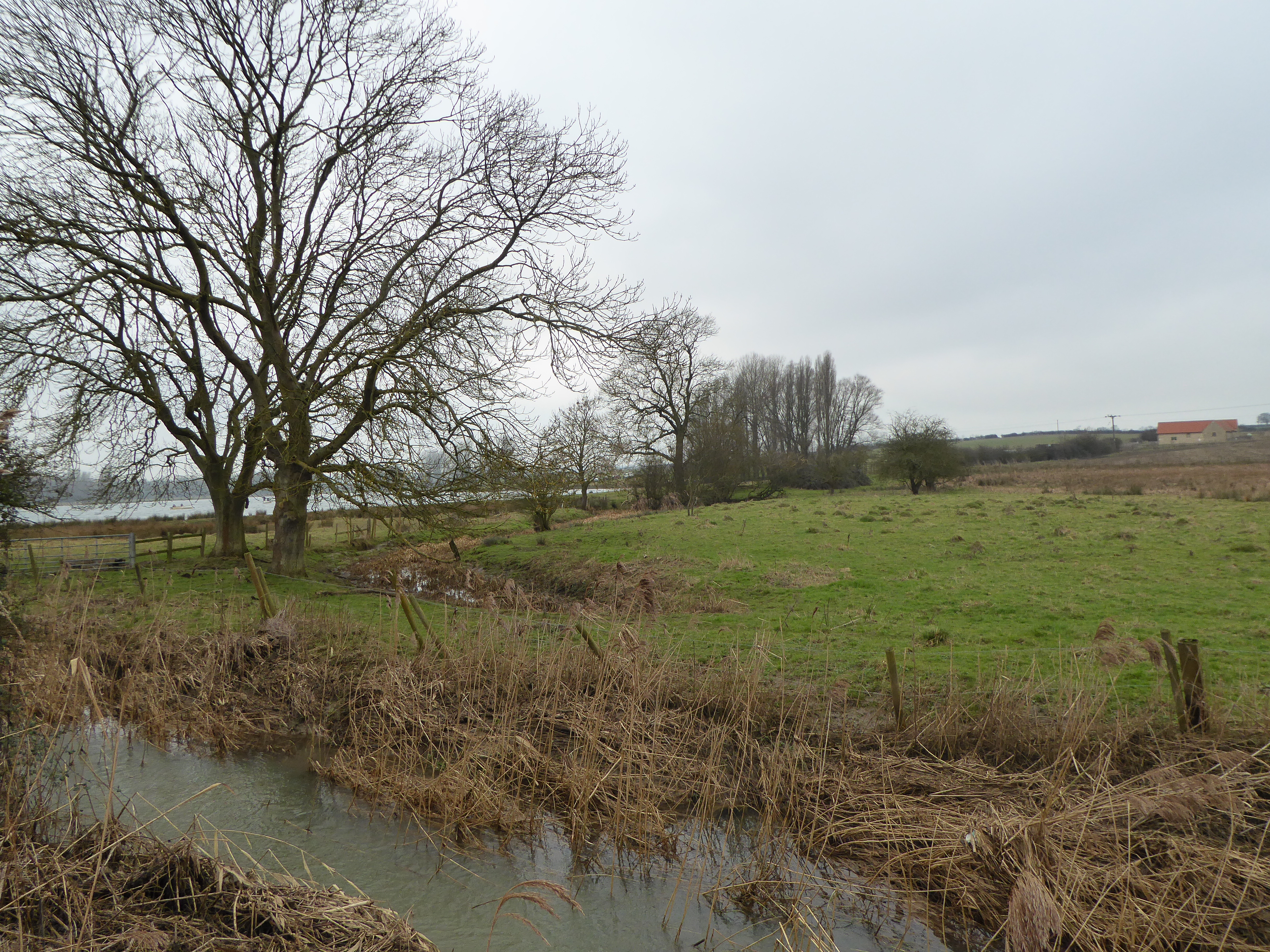
Heronry Lake is a picturesque body of water located in Northamptonshire, England. Spanning an area of approximately 10 acres, this freshwater lake is nestled amidst a serene natural landscape, making it an ideal spot for nature enthusiasts and bird watchers.
The lake is characterized by its crystal-clear waters, which are fed by several small springs and streams that flow into the area. Surrounded by lush greenery and mature trees, Heronry Lake provides a tranquil habitat for a diverse range of flora and fauna.
One of the notable features of the lake is its abundance of bird species. As the name suggests, the lake is home to a large heronry, serving as a nesting site for a significant population of herons. These elegant birds can often be seen perched on branches or wading in the shallow waters, patiently waiting to catch their prey.
In addition to herons, Heronry Lake attracts a variety of other waterfowl, including ducks, swans, and geese. The lake also serves as a breeding ground for several species of fish, such as carp and perch, making it a popular destination for anglers.
The surrounding area of the lake is a haven for wildlife, with numerous mammals, amphibians, and reptiles calling it home. Visitors may catch glimpses of squirrels, rabbits, and foxes as they explore the lakeside trails or relax in the designated picnic areas.
Overall, Heronry Lake offers a peaceful retreat for those seeking solace in nature, with its stunning scenery and abundant wildlife creating a truly enchanting experience.
If you have any feedback on the listing, please let us know in the comments section below.
Heronry Lake Images
Images are sourced within 2km of 52.410384/-0.52110576 or Grid Reference TL0080. Thanks to Geograph Open Source API. All images are credited.

Heronry Lake is located at Grid Ref: TL0080 (Lat: 52.410384, Lng: -0.52110576)
Unitary Authority: North Northamptonshire
Police Authority: Northamptonshire
What 3 Words
///shrug.fool.nourished. Near Thrapston, Northamptonshire
Nearby Locations
Related Wikis

Titchmarsh Nature Reserve
Titchmarsh Nature Reserve is a 72.7 hectare Local Nature Reserve north of Thrapston in North Northamptonshire. It is owned and managed by the Wildlife...

Aldwincle
Aldwincle (sometimes Aldwinkle or Aldwinckle) is a village and civil parish in North Northamptonshire, with a population at the time of the 2011 census...
Aldwincle Marsh
Aldwincle Marsh is a 2-hectare (4.9-acre) biological Site of Special Scientific Interest north of Thrapston in Northamptonshire.This marsh and fen on shallow...

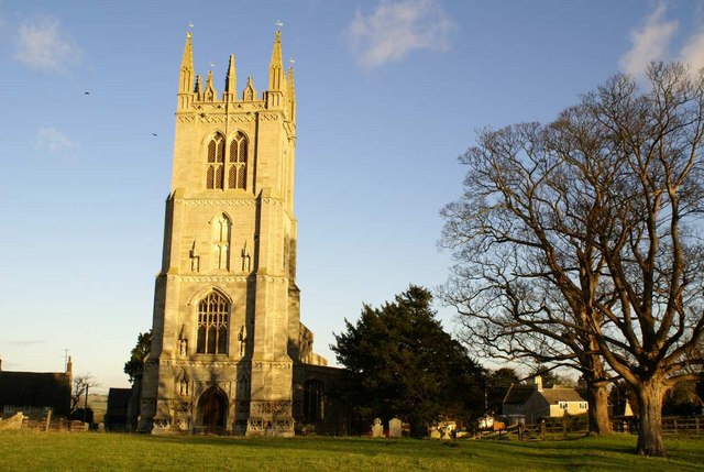
All Saints Church, Aldwincle
All Saints Church is a historic Anglican church in the village of Aldwincle, Northamptonshire, England. It is recorded in the National Heritage List for...

Thrapston Town F.C.
Thrapston Town F.C. is an English football club based in Thrapston, Northamptonshire, and competes in the East Midlands Women's Football League . ��2...

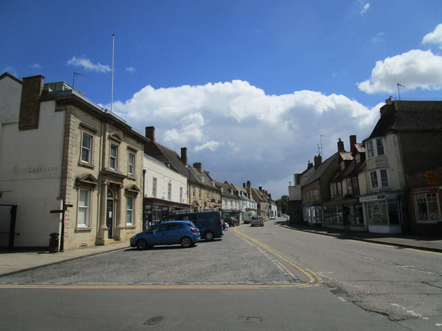
Corn Exchange, Thrapston
The Corn Exchange is a commercial building in the High Street in Thrapston, Northamptonshire, England. The structure, which is now used as the offices...

Thrapston
Thrapston is a market town and civil parish in the North Northamptonshire unitary authority area of Northamptonshire, England. It was the headquarters...
Titchmarsh, Northamptonshire
Titchmarsh is a village and civil parish in North Northamptonshire, England. The 2001 census recorded a parish population of 543 people, increasing to...
Nearby Amenities
Located within 500m of 52.410384,-0.52110576Have you been to Heronry Lake?
Leave your review of Heronry Lake below (or comments, questions and feedback).