Broad Water
Lake, Pool, Pond, Freshwater Marsh in Surrey Waverley
England
Broad Water

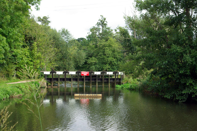
Broad Water is a picturesque freshwater lake located in Surrey, England. Covering an area of approximately 10 hectares, it is a popular destination for both locals and tourists alike. Nestled amidst beautiful countryside, Broad Water offers a serene and tranquil environment for visitors to enjoy.
The lake is characterized by its crystal-clear waters, which are fed by natural springs and rainfall. It serves as a vital habitat for a diverse range of aquatic flora and fauna, making it a significant ecological site. The surrounding area is rich in biodiversity, with numerous species of birds, fish, and insects thriving in and around the lake.
Additionally, Broad Water boasts a well-maintained pool and pond, which provide further opportunities for recreational activities. The pool is ideal for swimming and water sports, while the pond offers a peaceful setting for fishing enthusiasts. Anglers can expect to catch a variety of freshwater fish species, including perch, pike, and roach.
One of the unique features of Broad Water is the presence of a freshwater marsh. This marshland serves as a crucial breeding ground for several amphibians and waterfowl, contributing to the overall environmental health of the area.
Surrounded by lush greenery and scenic walking trails, Broad Water offers visitors the chance to explore its natural beauty. It is a popular spot for picnics, nature walks, and photography, attracting individuals seeking a peaceful retreat from the hustle and bustle of everyday life.
Overall, Broad Water in Surrey is a haven for nature lovers, offering a diverse range of aquatic ecosystems and recreational activities in a stunning natural setting.
If you have any feedback on the listing, please let us know in the comments section below.
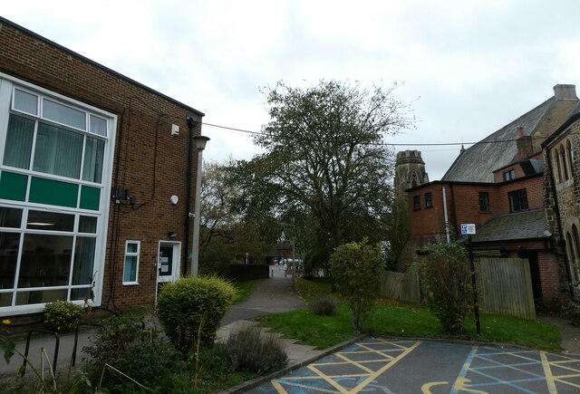
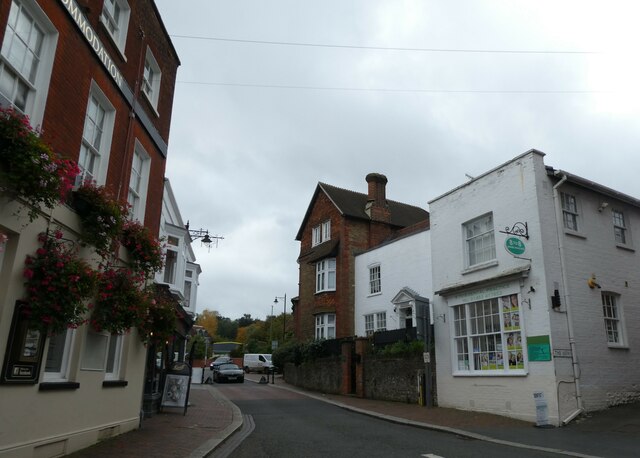
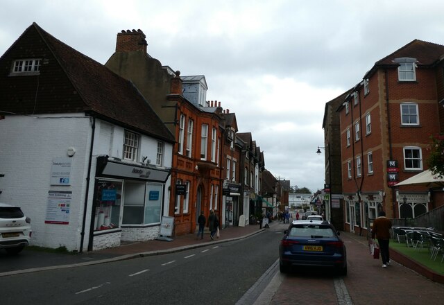
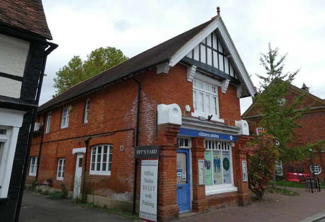
Broad Water Images
Images are sourced within 2km of 51.198235/-0.59287986 or Grid Reference SU9845. Thanks to Geograph Open Source API. All images are credited.


Broad Water is located at Grid Ref: SU9845 (Lat: 51.198235, Lng: -0.59287986)
Administrative County: Surrey
District: Waverley
Police Authority: Surrey
What 3 Words
///people.bronze.dash. Near Godalming, Surrey
Nearby Locations
Related Wikis
Broadwater School
Broadwater School is a coeducational secondary school in the village of Farncombe, situated in the county of Surrey in England. Established as Broadwater...
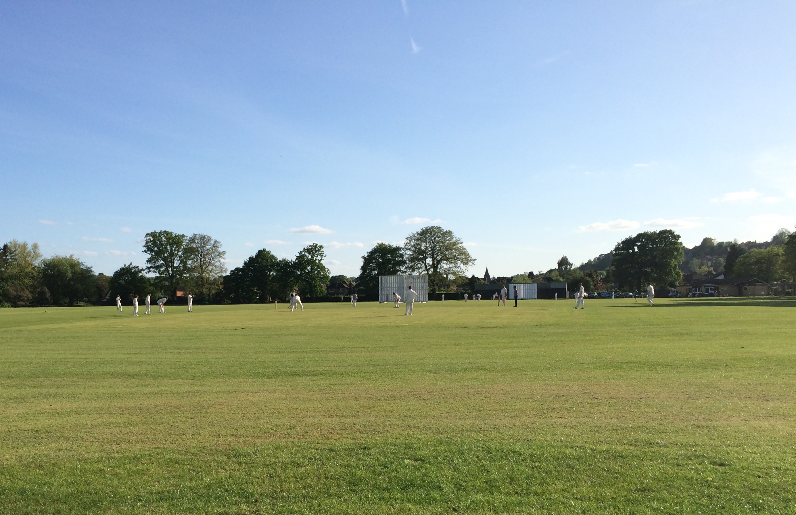
Broadwater Park
Broadwater Park is a cricket ground during the summer, and football ground through winter, located in Farncombe, Surrey. The first recorded match on the...

Godalming Town F.C.
Godalming Town Football Club is a semi-professional football club based in Godalming, Surrey, England. They are currently members of the Southern Combination...

Meadrow Unitarian Chapel
Meadrow Unitarian Chapel (also known as Meadrow Chapel and Godalming Unitarian Church) is a Unitarian chapel in the Farncombe area of Godalming, Surrey...
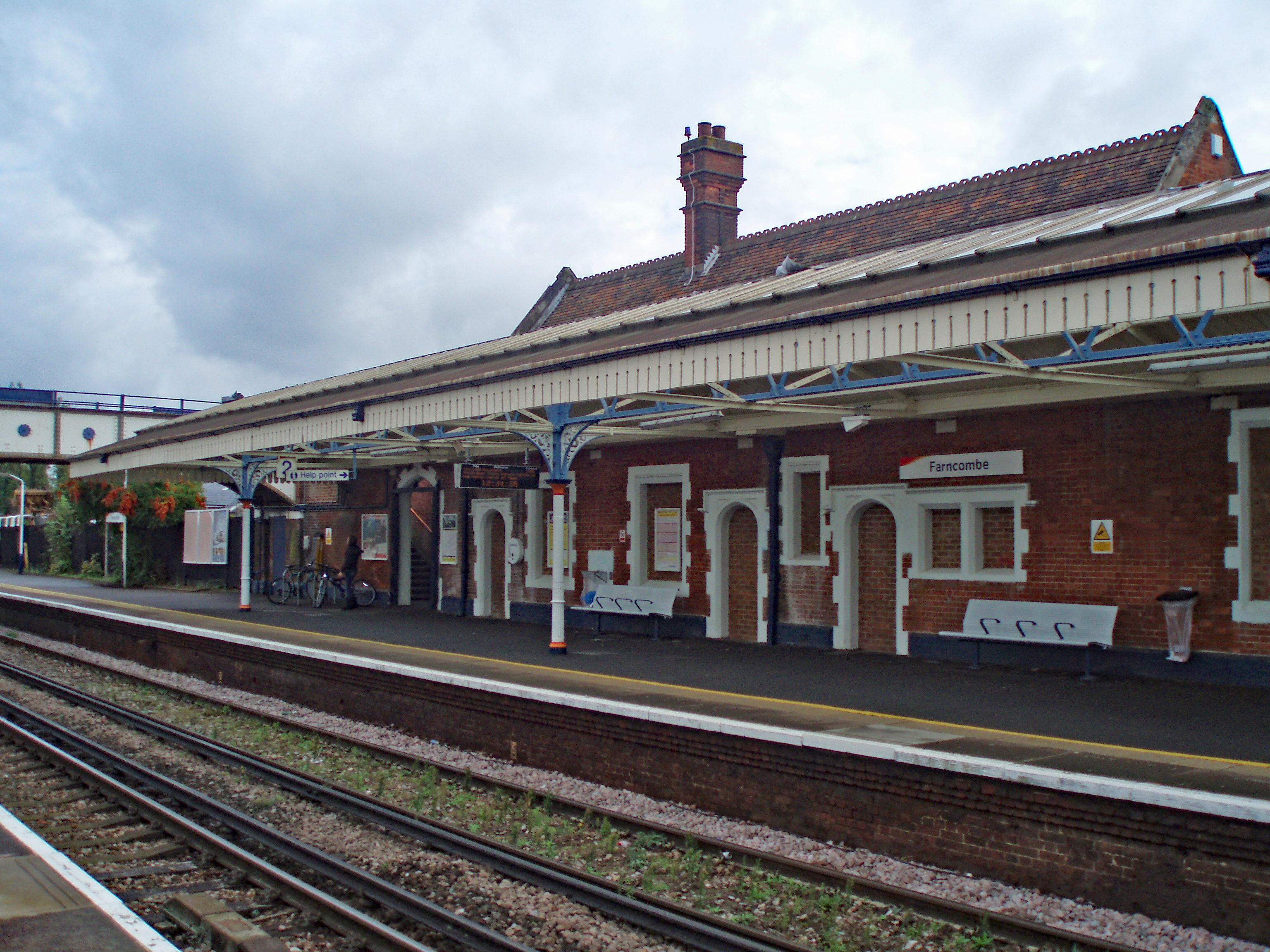
Farncombe railway station
Farncombe railway station opened in 1897 as a minor stop on the Portsmouth Direct Line between Guildford and Godalming, England. It is said to have been...

Farncombe
Farncombe, historically Fernecome, is a village and peripheral settlement of Godalming in Waverley, Surrey, England and is approximately 0.8 miles (1.3...
Wey Valley Meadows
Wey Valley Meadows is a 94.1-hectare (233-acre) biological Site of Special Scientific Interest north of Godalming in Surrey.This 4-kilometre (2.5-mile...

Godalming United Church
Godalming United Church is a non-conformist church formed in 1977 of a union of the local Methodist and URC churches. Built in 1903, it is located between...
Nearby Amenities
Located within 500m of 51.198235,-0.59287986Have you been to Broad Water?
Leave your review of Broad Water below (or comments, questions and feedback).