House Pond
Lake, Pool, Pond, Freshwater Marsh in Surrey Waverley
England
House Pond
House Pond is a picturesque body of water located in Surrey, England. As its name suggests, it is a pond situated in close proximity to residential areas, making it easily accessible for locals and visitors alike. Spanning an area of approximately 5 acres, House Pond offers a tranquil and serene environment for those seeking a peaceful retreat from the hustle and bustle of everyday life.
Despite its relatively small size, House Pond boasts a diverse ecosystem that supports a wide range of flora and fauna. The pond is primarily fed by natural springs, ensuring a constant supply of freshwater. The water is crystal clear and teeming with various species of fish, including carp, roach, and perch, making it a popular spot for fishing enthusiasts.
Surrounding the pond, there is a lush green landscape adorned with vibrant aquatic plants such as water lilies and reeds. These not only enhance the visual appeal of the pond but also provide a habitat for numerous bird species, including swans, ducks, and herons. The diverse birdlife makes House Pond an ideal spot for birdwatching enthusiasts.
In addition to its ecological significance, House Pond also offers recreational activities for visitors. The pond is suitable for swimming during the warmer months, and there are designated areas for picnicking and sunbathing along its banks. Additionally, there are walking paths and benches strategically placed around the pond, allowing visitors to fully appreciate the natural beauty and tranquility of the surroundings.
Overall, House Pond is a hidden gem in Surrey, offering a harmonious blend of natural beauty, recreational opportunities, and a thriving ecosystem. Whether one seeks a peaceful retreat or an opportunity to engage with nature, House Pond provides a serene and idyllic setting for all.
If you have any feedback on the listing, please let us know in the comments section below.
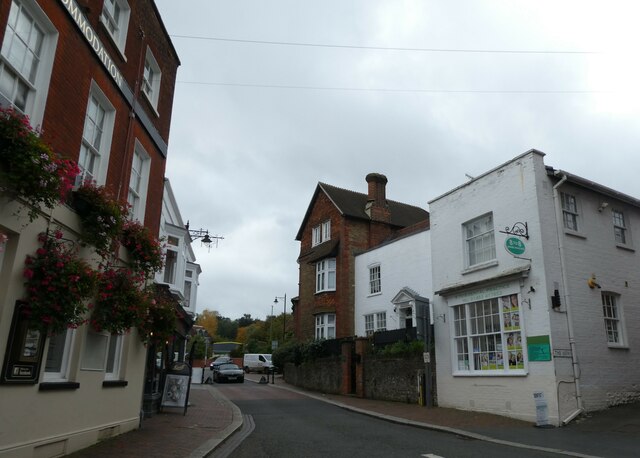
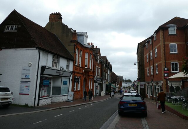
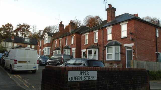
House Pond Images
Images are sourced within 2km of 51.168359/-0.60760639 or Grid Reference SU9741. Thanks to Geograph Open Source API. All images are credited.


House Pond is located at Grid Ref: SU9741 (Lat: 51.168359, Lng: -0.60760639)
Administrative County: Surrey
District: Waverley
Police Authority: Surrey
What 3 Words
///always.impact.skin. Near Godalming, Surrey
Nearby Locations
Related Wikis

Godalming Grammar School
Godalming Grammar School was a state-funded selective grammar School taking both boys and girls, situated in Tuesley Lane, Godalming, England. == Organisation... ==

Busbridge
Busbridge is a village and civil parish in the borough of Waverley in Surrey, England that adjoins the town of Godalming. It forms part of the Waverley...

Jekyll Memorial, Busbridge
The Jekyll Memorial, Busbridge, Surrey, England, commemorates the gardener Gertrude Jekyll and members of her family. Designed by Jekyll's friend and collaborator...

Busbridge Church
Busbridge Church or St John the Baptist Church, is an evangelical Anglican Church in Busbridge, Godalming, England. Busbridge Church is part of a joint...
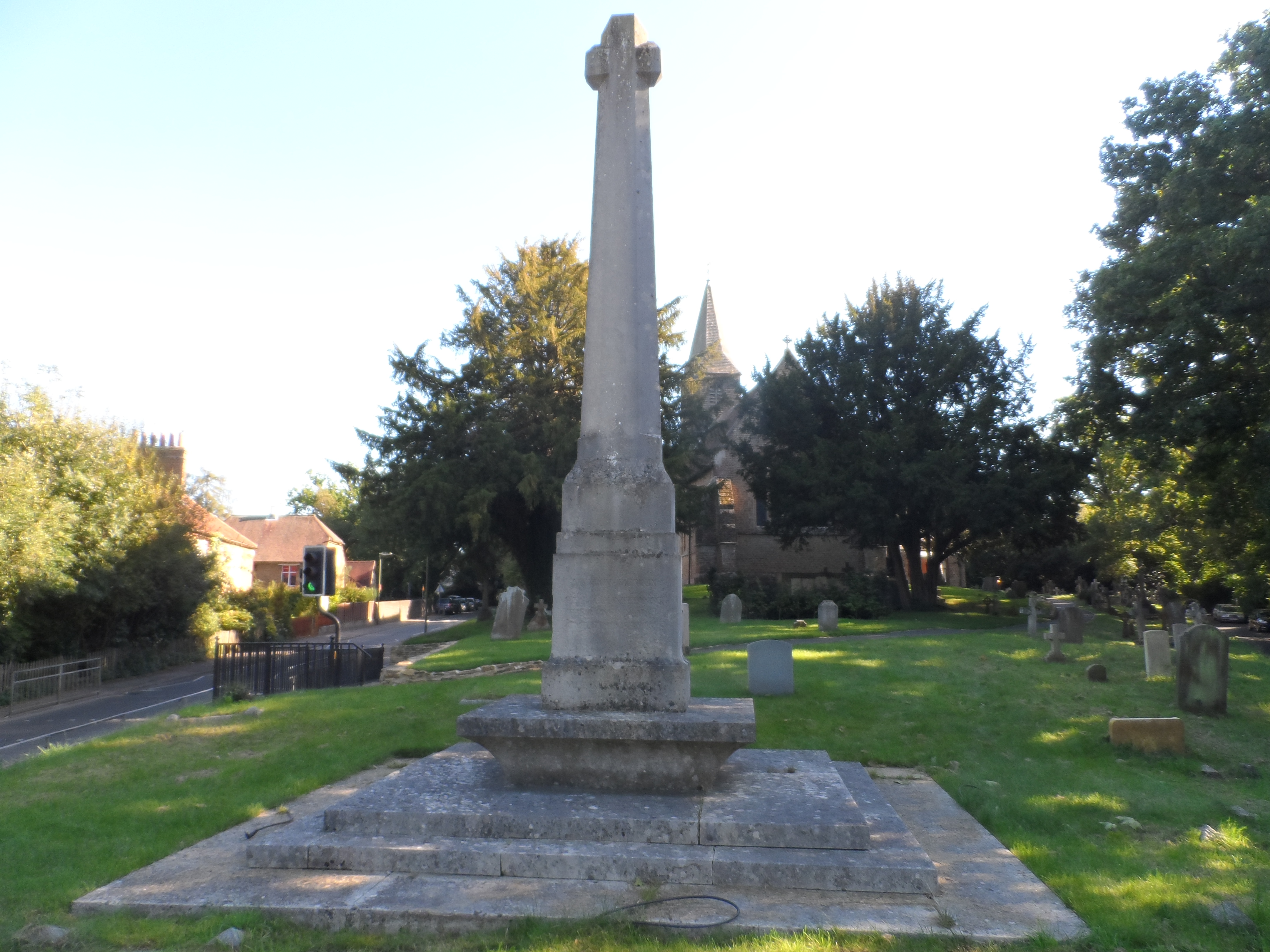
Busbridge War Memorial
Busbridge War Memorial is a First World War memorial in the churchyard of St John's Church in village of Busbridge in Surrey, south-eastern England. Designed...

Godalming College
Godalming College is a sixth form college, situated in Godalming, 31 miles (50 km) south-west of London and five miles from Guildford, Surrey. The college...

Munstead Wood
Munstead Wood is a Grade I listed house and garden in Munstead Heath, Busbridge on the boundary of the town of Godalming in Surrey, England, 1 mile (1...

Milford Hospital
Milford Hospital is located in the Surrey village of Milford. It is managed by the Royal Surrey County Hospital NHS Foundation Trust. == History == The...
Nearby Amenities
Located within 500m of 51.168359,-0.60760639Have you been to House Pond?
Leave your review of House Pond below (or comments, questions and feedback).