Bear's Rails Pond
Lake, Pool, Pond, Freshwater Marsh in Berkshire
England
Bear's Rails Pond

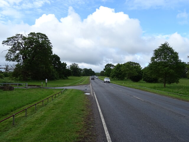
Bear's Rails Pond is a picturesque freshwater body located in Berkshire County, Massachusetts. Spanning across an area of approximately 50 acres, it is often referred to as a pond, although it holds characteristics of a lake, pool, and freshwater marsh. The unique combination of these features contributes to its diverse ecosystem and natural beauty.
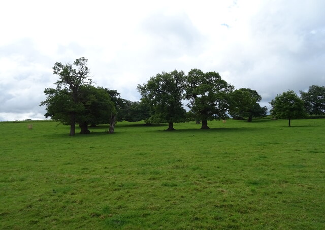
Nestled amidst a lush forest, Bear's Rails Pond is surrounded by an array of native plant species, creating a vibrant and inviting atmosphere. The pond itself is deep and clear, with its waters reflecting the surrounding landscape. It is fed by several freshwater springs, ensuring a constant flow of clean water throughout the year.
The pond's shoreline is lined with dense vegetation, including cattails, water lilies, and various grasses, providing a suitable habitat for a wide variety of aquatic creatures. Fish such as bass, trout, and sunfish can be found in abundance, attracting both recreational and sport fishermen.
Furthermore, the pond serves as a haven for numerous bird species. Visitors can often spot herons, ducks, geese, and even bald eagles soaring overhead or peacefully resting on the water's edge. This makes Bear's Rails Pond a popular destination for birdwatchers and nature enthusiasts.
The serene ambiance of Bear's Rails Pond also makes it a favored spot for outdoor activities. Fishing, boating, and kayaking are common pastimes enjoyed by locals and visitors alike. Additionally, the surrounding trails offer opportunities for hiking and wildlife observation.
Overall, Bear's Rails Pond offers a unique blend of natural features, making it a cherished destination for those seeking tranquility and a deeper connection with nature in the heart of Berkshire County.
If you have any feedback on the listing, please let us know in the comments section below.
Bear's Rails Pond Images
Images are sourced within 2km of 51.453441/-0.60064962 or Grid Reference SU9773. Thanks to Geograph Open Source API. All images are credited.


Bear's Rails Pond is located at Grid Ref: SU9773 (Lat: 51.453441, Lng: -0.60064962)
Unitary Authority: Windsor and Maidenhead
Police Authority: Thames Valley
What 3 Words
///filled.clock.skinny. Near Old Windsor, Berkshire
Nearby Locations
Related Wikis

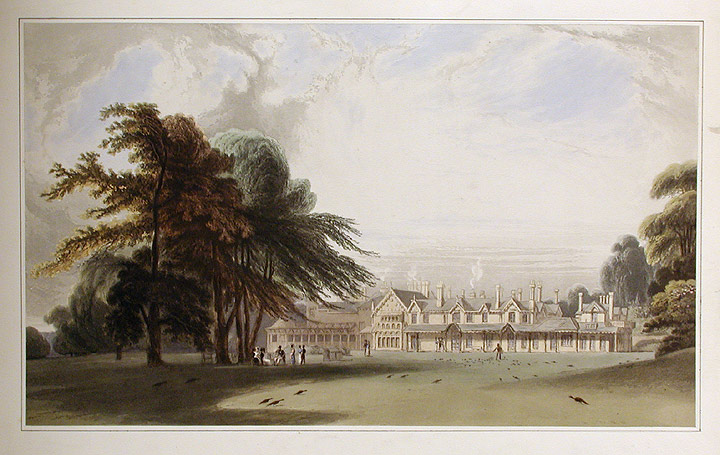
Woodside, Old Windsor
Woodside is a large detached house with 37 acres (15 ha) of gardens in Old Windsor, Berkshire, on the edge of Windsor Great Park. The house has been rebuilt...

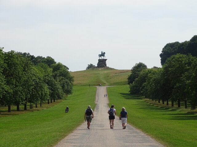
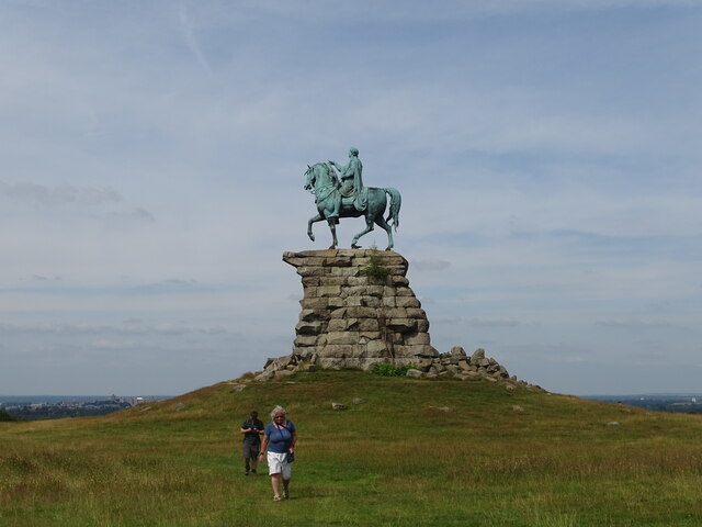
The Copper Horse
The Copper Horse is an 1831 equestrian statue of George III. The monumental bronze statue by Richard Westmacott stands on a stone plinth at Snow Hill...
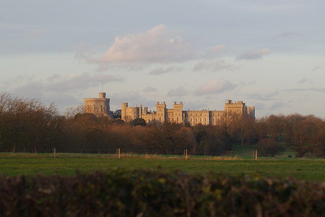
Old Windsor
Old Windsor is a large village and civil parish, in the Royal Borough of Windsor and Maidenhead, in Berkshire, England. It is bounded by the River Thames...
A308 road
The A308 is a road in England in two parts. The first part runs from Central London to Putney Bridge. The second part runs from just beyond Putney Heath...

Royal Chapel of All Saints
The Royal Chapel of All Saints or Queen Victoria's Chapel is a Grade II listed church in the grounds of the Royal Lodge in Windsor Great Park, Berkshire...
Royal Lodge
Royal Lodge is a Grade II listed house in Windsor Great Park in Berkshire, England, half a mile north of Cumberland Lodge and 3.2 miles (5.1 km) south...

Y Bwthyn Bach
Y Bwthyn Bach ("The Little Cottage") is a royal wendy house standing close to Royal Lodge within Windsor Great Park in England since 1932. == History... ==
Shaw Farm, Windsor
Shaw Farm is on the royal estate at Windsor. Originally a home farm for Windsor Castle, by the early 19th century it came into the ownership of Princess...
Nearby Amenities
Located within 500m of 51.453441,-0.60064962Have you been to Bear's Rails Pond?
Leave your review of Bear's Rails Pond below (or comments, questions and feedback).