Tuesley Pond
Lake, Pool, Pond, Freshwater Marsh in Surrey Waverley
England
Tuesley Pond

Tuesley Pond is a picturesque freshwater pond located in Surrey, England. Nestled amidst lush greenery and surrounded by tall trees, it is a serene and tranquil spot that attracts locals and tourists alike. The pond covers an area of approximately 5 acres and is renowned for its natural beauty and abundant wildlife.
The crystal-clear water of Tuesley Pond is fed by several small streams that flow into it, ensuring a constant supply of fresh water. The pond is relatively shallow, with an average depth of around 3 to 4 feet, making it ideal for a variety of aquatic plants and animals.
One of the notable features of Tuesley Pond is the presence of a diverse range of flora and fauna. The pond is home to a variety of fish species, including carp, roach, and perch, making it a popular spot for fishing enthusiasts. Additionally, the pond attracts a variety of bird species, such as ducks, swans, and herons, which can often be spotted gracefully gliding on the surface of the water or nesting in the nearby vegetation.
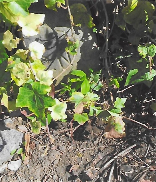
Surrounding the pond is a lush freshwater marsh, providing a habitat for a wide range of plant species, including reeds, water lilies, and various types of grasses. This marshland not only adds to the overall beauty of the area but also serves as an important ecosystem, providing nesting grounds and shelter for numerous bird species and other wildlife.
Overall, Tuesley Pond offers a peaceful and idyllic setting for visitors to enjoy the beauty of nature. Whether it is fishing, birdwatching, or simply taking a leisurely stroll along its banks, this charming freshwater pond promises a delightful experience for all who visit.
If you have any feedback on the listing, please let us know in the comments section below.
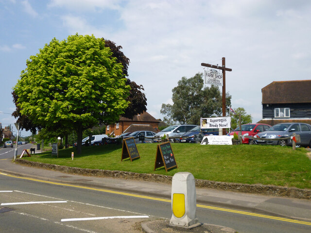
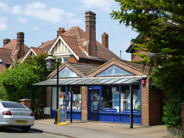
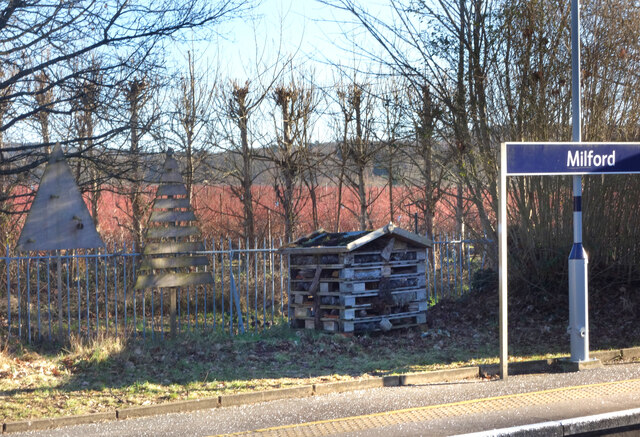
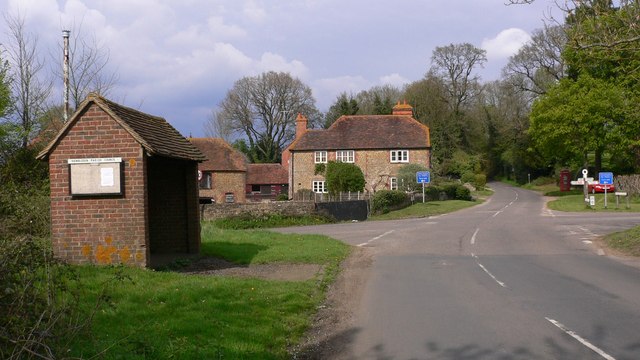
Tuesley Pond Images
Images are sourced within 2km of 51.162731/-0.62520964 or Grid Reference SU9641. Thanks to Geograph Open Source API. All images are credited.


Tuesley Pond is located at Grid Ref: SU9641 (Lat: 51.162731, Lng: -0.62520964)
Administrative County: Surrey
District: Waverley
Police Authority: Surrey
What 3 Words
///inhaler.financial.pushes. Near Witley, Surrey
Nearby Locations
Related Wikis

Milford Hospital
Milford Hospital is located in the Surrey village of Milford. It is managed by the Royal Surrey County Hospital NHS Foundation Trust. == History == The...

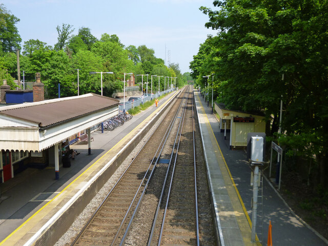
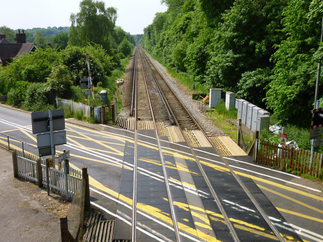
Milford railway station
Milford railway station is a railway station serving the village of Milford in the English county of Surrey. It is a stop on the Portsmouth Direct Line...
Hydestile
Hydestile is a hamlet in Waverley, south-west Surrey. It is around 2+1⁄2 miles (4.0 km) south of Godalming between the villages of Busbridge and Hambledon...

Ockford Ridge
Ockford Ridge is the part of the parish and town of Godalming, Surrey, England west of the London-Portsmouth railway. It has a narrow buffer to the west...
Godalming Grammar School
Godalming Grammar School was a state-funded selective grammar School taking both boys and girls, situated in Tuesley Lane, Godalming, England. == Organisation... ==
Aaron's Hill, Surrey
Aaron's Hill is a suburb of Godalming in Surrey, England. It is named after the hill it sits on and has a road named after it. Aaron's Hill is adjacent...

Rodborough School
Rodborough School is a coeducational secondary school with academy status, located in Milford, Surrey, England. The school is a feeder school for Godalming...

Godalming College
Godalming College is a sixth form college, situated in Godalming, 31 miles (50 km) south-west of London and five miles from Guildford, Surrey. The college...
Nearby Amenities
Located within 500m of 51.162731,-0.62520964Have you been to Tuesley Pond?
Leave your review of Tuesley Pond below (or comments, questions and feedback).