Grebe Lake
Lake, Pool, Pond, Freshwater Marsh in Bedfordshire
England
Grebe Lake

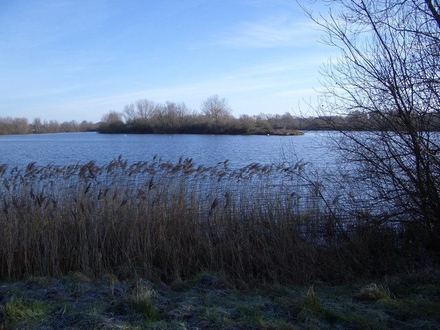
Grebe Lake, located in Bedfordshire, is a picturesque freshwater marsh encompassing an area of approximately 10 hectares. It is a popular destination for nature enthusiasts, offering a diverse range of flora and fauna to observe and enjoy.
The lake itself is a tranquil body of water, with crystal clear freshwater that supports a variety of aquatic life. It is home to numerous species of fish, including perch, roach, and carp, making it a popular spot for anglers. The lake's calm waters also attract a variety of water birds, such as grebes, herons, and ducks, which can be observed gracefully gliding across the surface.
Surrounding the lake is a vibrant ecosystem of wetland vegetation, including reeds, water lilies, and marsh marigolds. These plants provide important habitat for a wide range of insects, amphibians, and small mammals, making the area a haven for biodiversity. Visitors can often spot dragonflies and damselflies darting among the vegetation, while frogs and newts can be glimpsed in the shallows.
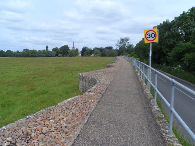
Grebe Lake is also a popular spot for recreational activities such as walking and birdwatching. A network of footpaths and observation points allows visitors to explore the area while minimizing disturbance to the wildlife. The peaceful atmosphere and stunning natural beauty of the lake make it an ideal place for relaxation and reflection.
Overall, Grebe Lake in Bedfordshire offers a unique opportunity to immerse oneself in the wonders of nature. Whether it be for fishing, birdwatching, or simply enjoying the tranquility of the surroundings, this freshwater marsh is a hidden gem waiting to be discovered.
If you have any feedback on the listing, please let us know in the comments section below.
Grebe Lake Images
Images are sourced within 2km of 52.203338/-0.59831807 or Grid Reference SP9557. Thanks to Geograph Open Source API. All images are credited.


Grebe Lake is located at Grid Ref: SP9557 (Lat: 52.203338, Lng: -0.59831807)
Unitary Authority: Bedford
Police Authority: Bedfordshire
What 3 Words
///educates.reliving.ejects. Near Odell, Bedfordshire
Nearby Locations
Related Wikis
Harrold-Odell Country Park
The Harrold-Odell Country Park is a 59.3 hectare Country park and Local Nature Reserve between the villages of Odell and Harrold in Bedfordshire. It is...
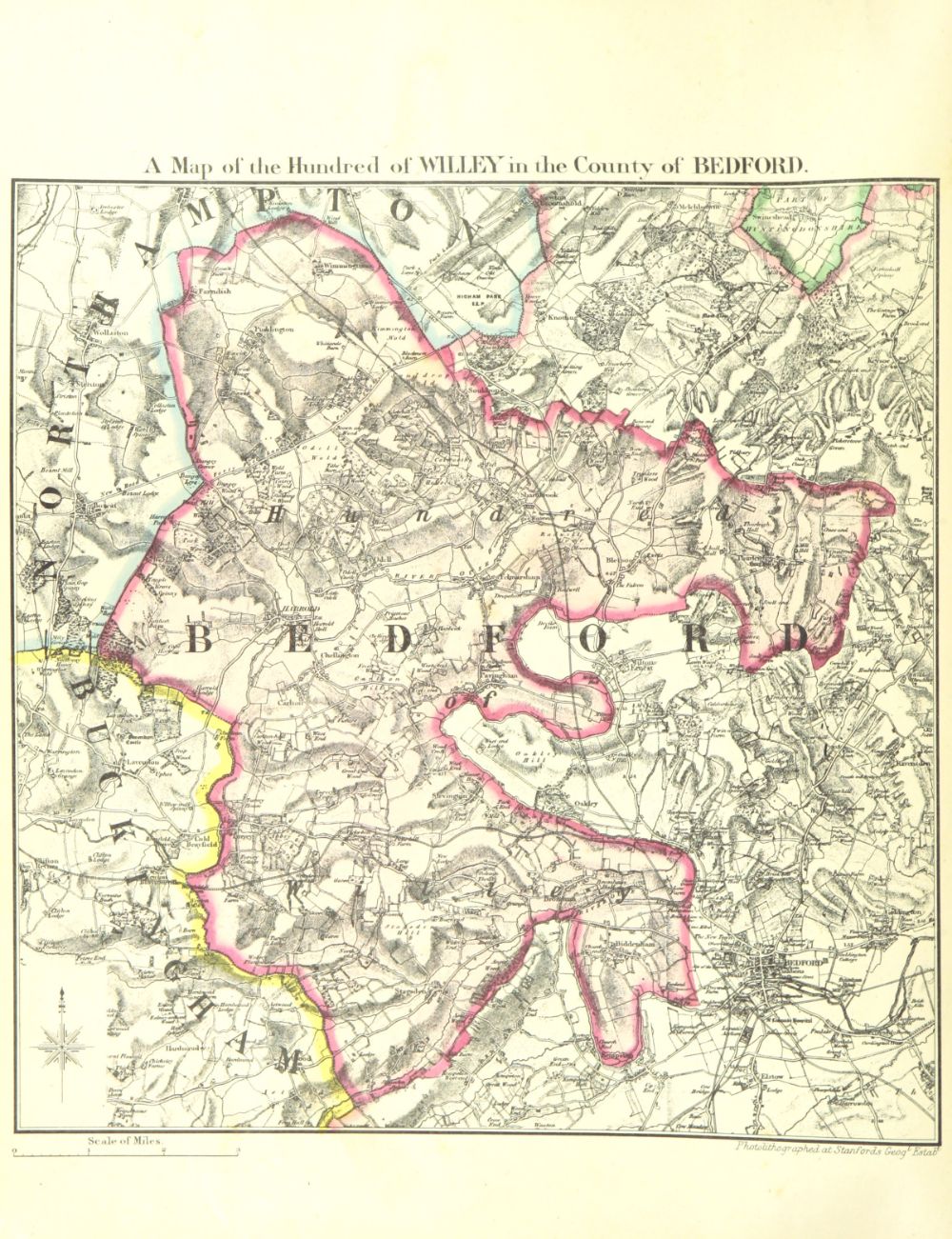
Hundred of Willey
The Hundred of Willey is a historical land division, a hundred in the northwest corner of Bedfordshire, England. Its northwestern boundary is the county...
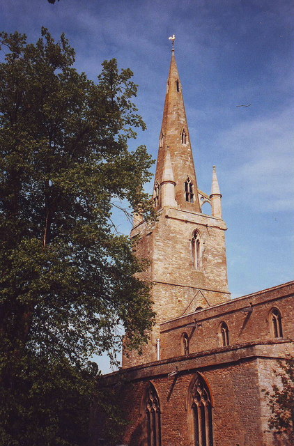
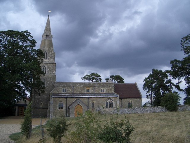
Church of St Peter, Harrold, Bedfordshire
Church of St Peter is a Grade I listed church in Harrold, Bedfordshire, England. == See also == Grade I listed buildings in Bedfordshire == References ==

Harrold Hall
Harrold Hall was a country house in Harrold, Bedfordshire, England. Dated to 1210, the house was demolished in 1961. == References ==
Harrold Priory
Harrold Priory was a priory in Harrold, Bedfordshire, England. It was established in 1138 and disestablished in 1536. == History == The priory of Harrold...
Odell, Bedfordshire
Odell is a small village and civil parish in the Borough of Bedford, north Bedfordshire, England, approximately 7 miles (11 km) north-west of Bedford town...
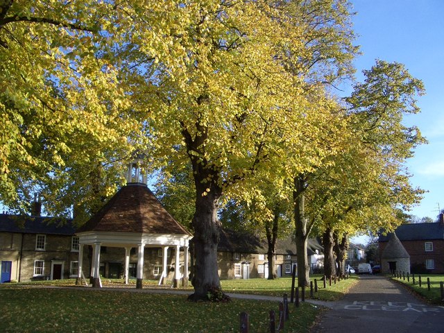
Harrold, Bedfordshire
Harrold is a village, civil parish and electoral ward in Bedfordshire, England, nine miles north-west of Bedford on the north bank of the River Great Ouse...
Chellington
Chellington is a village and former civil parish, now in the parish of Carlton and Chellington, in the Bedford district, in the ceremonial county of Bedfordshire...
Related Videos

Harrold Village, Bedfordshire
Harrold Village from the sky.
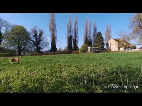
Walking the dog
Bebop in Harrold.
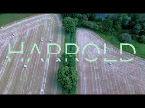
Historic Aerial Journey Through Harrold Odell Country Park in 4K
Embark on an immersive drone tour of Harold Country Park, meticulously captured in vivid 4K at 30fps using the DJI Mini Pro 3.

Pipers Campsite Carlton Beds
I went to a lovely campsite in Carlton Beds which was had stables in Betty. I met a couple of women and spent the evening with ...
Nearby Amenities
Located within 500m of 52.203338,-0.59831807Have you been to Grebe Lake?
Leave your review of Grebe Lake below (or comments, questions and feedback).