Burton Waters

Lake, Pool, Pond, Freshwater Marsh in Lincolnshire West Lindsey

England

Burton Waters

Pipe bridge over the railway, Skellingthorpe This is fenced off from the end of a long lane (which I drove down by accident having taken a wrong turning).
Pipe bridge over the railway, Skellingthorpe Credit: Humphrey Bolton

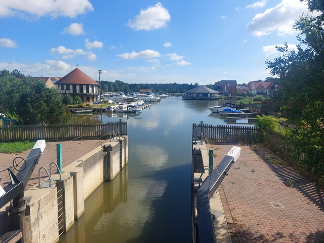
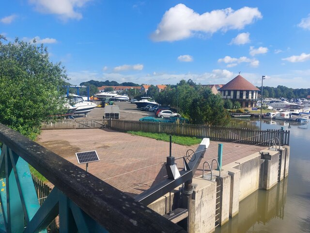
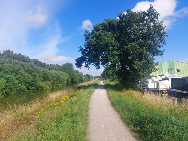
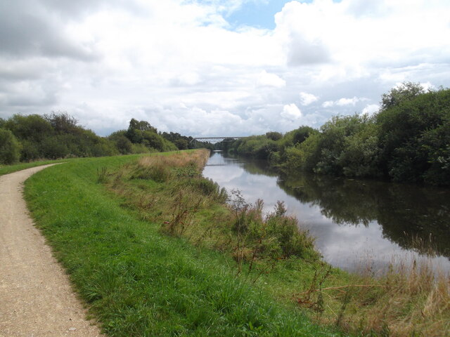
Burton Waters, located in Lincolnshire, is a charming area that boasts a variety of freshwater features including lakes, pools, ponds, and a freshwater marsh. Situated near the village of Burton, this picturesque landscape offers a tranquil and scenic environment for visitors and locals alike.

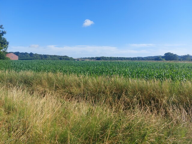
The lakes in Burton Waters are expansive bodies of water, surrounded by lush greenery and dotted with small islands. These lakes provide a haven for various species of fish, making them popular among anglers. Fishing enthusiasts can enjoy a peaceful day on the water, hoping to catch species such as carp, pike, and perch.

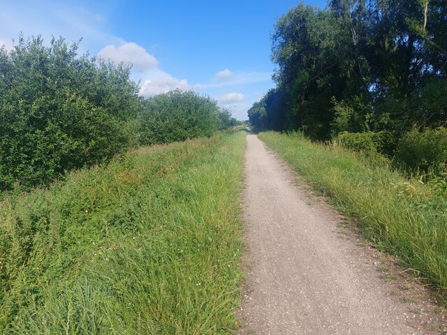
Adjacent to the lakes are pools and ponds, which are smaller in size but equally beautiful. These bodies of water are teeming with aquatic life, including frogs, newts, and a variety of water plants. They create a harmonious ecosystem that is not only visually appealing but also vital for the overall health of the area.

The freshwater marsh in Burton Waters is a unique feature that adds to the diverse landscape. It is characterized by its wet and marshy terrain, with an abundance of reeds and other water-loving plants. The marsh provides a breeding ground for many bird species, making it a paradise for birdwatchers and nature enthusiasts.

Overall, Burton Waters in Lincolnshire offers a rich and diverse freshwater environment. Whether it be for fishing, birdwatching, or simply appreciating the beauty of nature, this area provides a serene and peaceful retreat for all who visit.

If you have any feedback on the listing, please let us know in the comments section below.

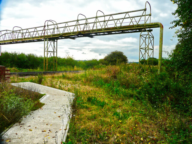
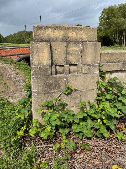
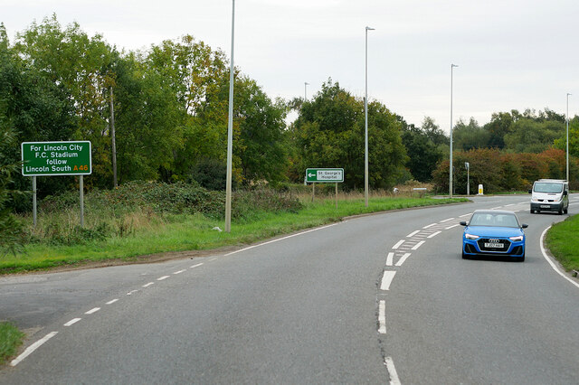
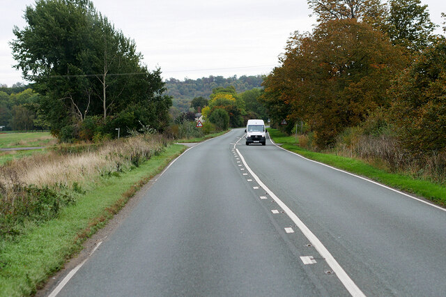
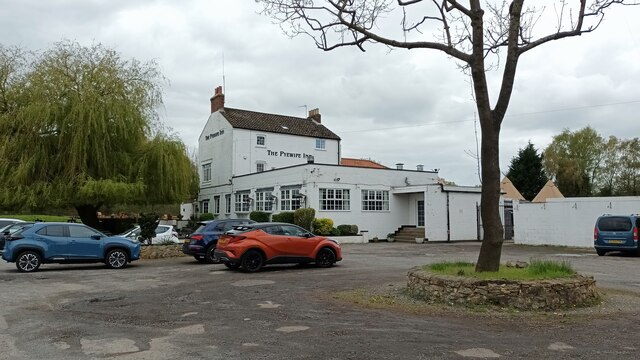
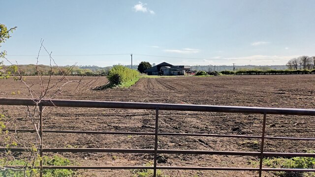
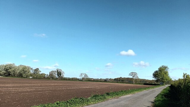
Burton Waters Images

Images are sourced within 2km of 53.248567/-0.5943872 or Grid Reference SK9373. Thanks to Geograph Open Source API. All images are credited.

Pipe bridge over the railway, Skellingthorpe This is fenced off from the end of a long lane (which I drove down by accident having taken a wrong turning).
Pipe bridge over the railway, Skellingthorpe
This is fenced off from the end of a long lane (which I drove down by accident having taken a wrong turning).
Cut Mark: Lincoln, New Bishop Bridge Cut bench mark of the west end of the north parapet.  See <a title="https://www.geograph.org.uk/photo/7188613" href="https://www.geograph.org.uk/photo/7188613">Link</a> for a closer view and <span class="nowrap"><a title="https://www.bench-marks.org.uk/bm171017" rel="nofollow ugc noopener" href="https://www.bench-marks.org.uk/bm171017">Link</a><img style="margin-left:2px;" alt="External link" title="External link - shift click to open in new window" src="https://s1.geograph.org.uk/img/external.png" width="10" height="10"/></span> for details of the mark.
Cut Mark: Lincoln, New Bishop Bridge
Cut bench mark of the west end of the north parapet. See Link for a closer view and LinkExternal link for details of the mark.
Cut Mark: Lincoln, New Bishop Bridge Cut bench mark of the west end of the north parapet.  See <a title="https://www.geograph.org.uk/photo/7188611" href="https://www.geograph.org.uk/photo/7188611">Link</a> for a wider view and <span class="nowrap"><a title="https://www.bench-marks.org.uk/bm171017" rel="nofollow ugc noopener" href="https://www.bench-marks.org.uk/bm171017">Link</a><img style="margin-left:2px;" alt="External link" title="External link - shift click to open in new window" src="https://s1.geograph.org.uk/img/external.png" width="10" height="10"/></span> for details of the mark.
Cut Mark: Lincoln, New Bishop Bridge
Cut bench mark of the west end of the north parapet. See Link for a wider view and LinkExternal link for details of the mark.
A57, Saxilby Road
A57, Saxilby Road
Layby on the A46 near Carholme The A46 is an important cross-country route which runs from the West Country to the North Sea.  It starts to the east of Bath in Somerset and ends in Cleethorpes in North East Lincolnshire.  It is no longer a continuous route as large portions of the old (1923) road have been lost, bypassed, or replaced by motorway development. For more detail, see <span class="nowrap"><a title="http://en.wikipedia.org/wiki/A46_road" rel="nofollow ugc noopener" href="http://en.wikipedia.org/wiki/A46_road">Link</a><img style="margin-left:2px;" alt="External link" title="External link - shift click to open in new window" src="https://s1.geograph.org.uk/img/external.png" width="10" height="10"/></span> (Wikipedia Article).
Layby on the A46 near Carholme
The A46 is an important cross-country route which runs from the West Country to the North Sea. It starts to the east of Bath in Somerset and ends in Cleethorpes in North East Lincolnshire. It is no longer a continuous route as large portions of the old (1923) road have been lost, bypassed, or replaced by motorway development. For more detail, see LinkExternal link (Wikipedia Article).
A57, Burton Fen
A57, Burton Fen
Saxilby Road (A57) near  Skellingthorpe
Saxilby Road (A57) near Skellingthorpe
DAF XF on the A57 near Lincoln
A57, Saxilby Road near Lincoln
Skellingthorpe-The Pyewipe Inn Canalside Pub.
Skellingthorpe-The Pyewipe Inn
Canalside Pub.
Lincoln-Waves Farm Arable Land.
Lincoln-Waves Farm
Arable Land.
Burton Farmland Looking towards the A57.
Burton Farmland
Looking towards the A57.
Arable field beside the Fossdyke Navigation A flat arable field beside the Fossdyke Navigation. A crop of maize is being grown in the field.
Arable field beside the Fossdyke Navigation
A flat arable field beside the Fossdyke Navigation. A crop of maize is being grown in the field.
Path alongside the Fossdyke Navigation A flat and straight path runs alongside the Fossdyke Navigation.
Path alongside the Fossdyke Navigation
A flat and straight path runs alongside the Fossdyke Navigation.
Entrance to Burton Waters The lock at the entrance to Burton Waters Marina from the Fossdyke Navigation.
Entrance to Burton Waters
The lock at the entrance to Burton Waters Marina from the Fossdyke Navigation.
Burton Waters Marina The boatyard at Burton Waters Marina on the Fossdyke Navigation canal.
Burton Waters Marina
The boatyard at Burton Waters Marina on the Fossdyke Navigation canal.
Path alongside the Fossdyke Navigation The path which runs alongside the Fossdyke Navigation canal.
Path alongside the Fossdyke Navigation
The path which runs alongside the Fossdyke Navigation canal.
Fossdyke Navigation
Fossdyke Navigation
Show me another place!

Burton Waters is located at Grid Ref: SK9373 (Lat: 53.248567, Lng: -0.5943872)

Administrative County: Lincolnshire

District: West Lindsey

Police Authority: Lincolnshire

What 3 Words

///tagging.shady.placidly. Near Skellingthorpe, Lincolnshire

Related Wikis

Skellingthorpe railway station (Great Northern Railway)

Skellingthorpe (Great Northern Railway) railway station was one of two stations serving the village of Skellingthorpe in Lincolnshire, England. It was...

Pyewipe Junction engine shed

Pyewipe Junction engine shed was a motive power depot operated by the Great Eastern Railway (GER) located in Lincolnshire, England.The depot was one of...

Skellingthorpe

Skellingthorpe is a village and civil parish in the North Kesteven district of Lincolnshire, England. The population of the village at the 2011 census...

Upper Witham IDB

The Upper Witham IDB is an English Internal Drainage Board responsible for land drainage and the management of flood risk for an area to the west of the...

Nearby Amenities

Located within 500m of 53.248567,-0.5943872
Bus Stop
Burton Waters
Bus: yes
Naptan AtcoCode: 270000008661
Naptan Bearing: SE
Naptan CommonName: Burton Waters
Naptan Indicator: opp
Naptan Landmark: Burton Waters
Naptan NaptanCode: lingtmjm
Naptan Street: Lincoln Road
Naptan Verified: no
Public Transport: platform
Source: naptan_import
Lat/Long: 53.2521145/-0.5976885
Barrier: lift_gate
Bicycle: yes
Foot: yes
Lat/Long: 53.2493557/-0.5941277
Seamark Type: gate
Waterway: lock_gate
Lat/Long: 53.2483956/-0.5984668
Bar
Lat/Long: 53.2494043/-0.5964982
Burton Waters
Leisure: marina
Seamark Harbour Category: marina
Seamark Type: harbour
Lat/Long: 53.2494989/-0.5978472
Barrier: lift_gate
Lat/Long: 53.2504823/-0.5968089
Bicycle Rental
Burton Waters (Marina Roundabout)
Capacity: 8
Network: hirebikeLincoln
Operator: hirebikeLincoln
Lat/Long: 53.2504383/-0.5960727
Burton Waters
Place: village
Lat/Long: 53.2517571/-0.5987718
The data included in this document is from www.openstreetmap.org. The data is made available under ODbL.

Have you been to Burton Waters?

Leave your review of Burton Waters below (or comments, questions and feedback).