Peatmoor Pond

Lake, Pool, Pond, Freshwater Marsh in Surrey Surrey Heath

England

Peatmoor Pond

Woodland, Turf Hill
Woodland, Turf Hill Credit: JThomas

Peatmoor Pond is a picturesque freshwater marsh located in Surrey, England. Nestled amidst the natural beauty of the countryside, it is a small body of water that serves as a haven for a diverse range of plant and animal species.

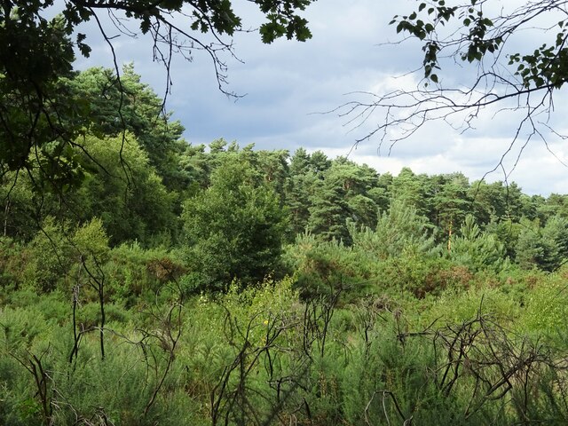
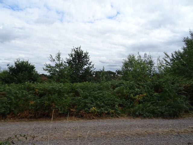
With an area of approximately 2 acres, Peatmoor Pond is mainly characterized by its calm, reflective surface. Surrounded by lush vegetation, including reeds and water lilies, the pond provides a tranquil environment for both wildlife and visitors alike.

The water in Peatmoor Pond is predominantly freshwater, sourced from local springs and rainfall. It is relatively shallow, with an average depth of around 3 feet, which allows sunlight to penetrate through to the aquatic plants below. This, in turn, supports a thriving ecosystem of various plant species, such as duckweed and pondweed.

The pond is home to an array of wildlife. Bird enthusiasts can spot a variety of waterfowl, including mallards, coots, and swans, gliding gracefully across the water. The surrounding vegetation also attracts insects, making it a paradise for dragonflies and damselflies. Additionally, frogs and newts can often be seen basking in the sun on the pond's edges.

Peatmoor Pond provides a picturesque backdrop for leisure activities such as fishing and birdwatching. It offers visitors the chance to immerse themselves in nature and enjoy the peaceful ambiance. The site is well-maintained, with designated pathways and seating areas, allowing people to appreciate the beauty of the pond while respecting its fragile ecosystem.

Overall, Peatmoor Pond is a precious natural gem in Surrey, offering a snapshot of the region's rich biodiversity and providing a serene retreat for both wildlife and humans alike.

If you have any feedback on the listing, please let us know in the comments section below.

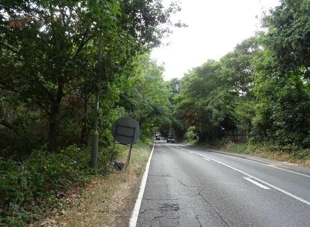
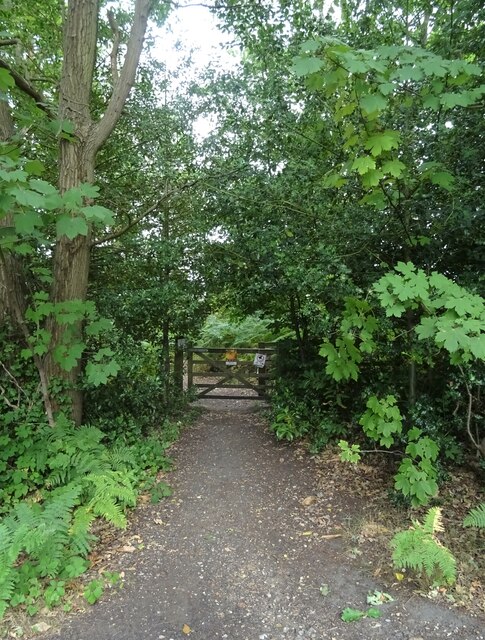
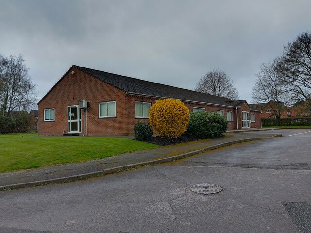
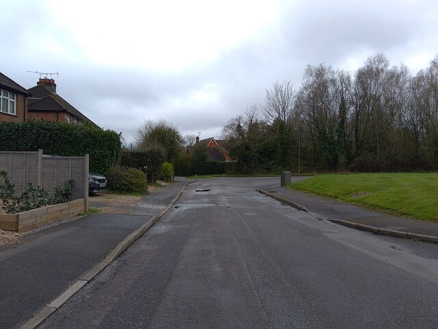
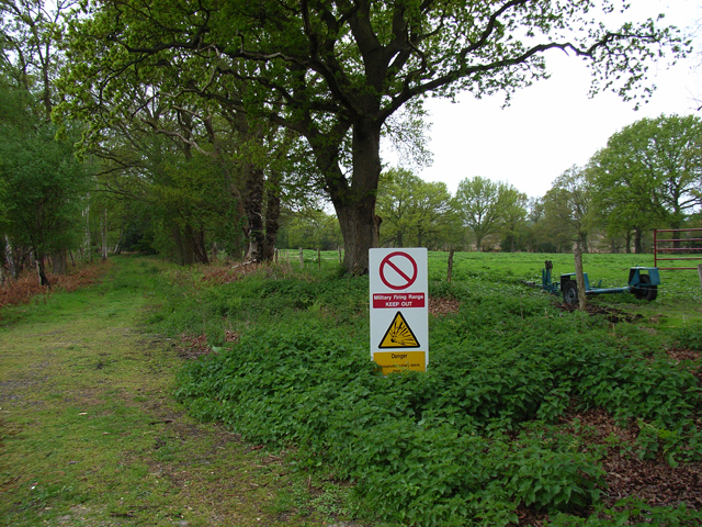
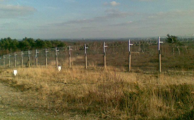
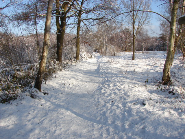
Peatmoor Pond Images

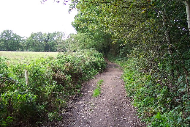
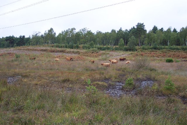
Images are sourced within 2km of 51.328255/-0.66418665 or Grid Reference SU9359. Thanks to Geograph Open Source API. All images are credited.

Woodland, Turf Hill
Woodland, Turf Hill
Red Road (B311) Looking west.
Red Road (B311)
Looking west.
Westend Common South of Red Road.
Westend Common
South of Red Road.
Gateway on Red Road (B311)
Red Road (B311) Towards Frimley.
Red Road (B311)
Towards Frimley.
Path onto Westend Common From Red Road.
Path onto Westend Common
From Red Road.
Chobham & West End Medical Practice A doctor's surgery in West End on Lucas Green Road.
Chobham & West End Medical Practice
A doctor's surgery in West End on Lucas Green Road.
Lucas Green Road A cul-de-sac section of Lucas Green Road beside Chobham & West End Medical Practice.
Lucas Green Road
A cul-de-sac section of Lucas Green Road beside Chobham & West End Medical Practice.
Houses in West End This square contains several many semi-detached and terrace houses with pleasant gardens located in quiet cul-de-sacs.
Houses in West End
This square contains several many semi-detached and terrace houses with pleasant gardens located in quiet cul-de-sacs.
Priest Lane Priest Lane is, nowadays, a bridle path running along the edge of the army ranges and connecting Lucas Farm Road with the delightfully-named Donkeytown. Looking north.
Priest Lane
Priest Lane is, nowadays, a bridle path running along the edge of the army ranges and connecting Lucas Farm Road with the delightfully-named Donkeytown. Looking north.
Folly Bog Folly Bog is an area that lies between the northern edge of the Pirbright Ranges danger area and Red Road. Although owned by the MOD it is cared for by the Surrey Wildlife Trust. As an experiment and in order to help the boggy conditions to revive, the Trust has brought in a herd of Highland cattle to keep the invasive scrub under control. So far, according to the rangers, the experiment seems to be working well, tender birch shoots seeming to be very much to the cattle's liking. In order to prevent the cattle wandering it has been necessary to install fencing and cattle grids.
Folly Bog
Folly Bog is an area that lies between the northern edge of the Pirbright Ranges danger area and Red Road. Although owned by the MOD it is cared for by the Surrey Wildlife Trust. As an experiment and in order to help the boggy conditions to revive, the Trust has brought in a herd of Highland cattle to keep the invasive scrub under control. So far, according to the rangers, the experiment seems to be working well, tender birch shoots seeming to be very much to the cattle's liking. In order to prevent the cattle wandering it has been necessary to install fencing and cattle grids.
Highland cattle on Folly Bog Folly Bog is an area that lies between the northern edge of the Pirbright Ranges danger area and Red Road. Although owned by the MOD it is cared for by the Surrey Wildlife Trust. As an experiment and in order to help the boggy conditions to revive, the Trust has brought in a herd of Highland cattle to keep the invasive scrub under control. So far, according to the rangers, the experiment seems to be working well, tender birch shoots seeming to be very much to the cattle's liking. The boggy conditions can be seen in the foreground (and around the photographer's feet!). Pity about the overhead power lines.
Highland cattle on Folly Bog
Folly Bog is an area that lies between the northern edge of the Pirbright Ranges danger area and Red Road. Although owned by the MOD it is cared for by the Surrey Wildlife Trust. As an experiment and in order to help the boggy conditions to revive, the Trust has brought in a herd of Highland cattle to keep the invasive scrub under control. So far, according to the rangers, the experiment seems to be working well, tender birch shoots seeming to be very much to the cattle's liking. The boggy conditions can be seen in the foreground (and around the photographer's feet!). Pity about the overhead power lines.
Looking over the ranges Looking across the northwest corner of the Pirbright Ranges danger area from the range perimeter track. Chobham Ridges are in the distance and mark the western boundary of the ranges. Looking SW.
Looking over the ranges
Looking across the northwest corner of the Pirbright Ranges danger area from the range perimeter track. Chobham Ridges are in the distance and mark the western boundary of the ranges. Looking SW.
Pirbright Ranges Taken through the perimeter gate near Hagthorne Cottage. Access is just ordinarily possible this far.
Pirbright Ranges
Taken through the perimeter gate near Hagthorne Cottage. Access is just ordinarily possible this far.
Brentmoor Heath, Westend Common Track running parallel to Red Road, the B311.
Brentmoor Heath, Westend Common
Track running parallel to Red Road, the B311.
The A322 at West End
Bus stop in West End Looking along the A322 in the direction of Woking.
Bus stop in West End
Looking along the A322 in the direction of Woking.
Woking over the Ranges The photo is a view over the Chobham Ranges, (Surrey Heath), from the Northern perimeter fence. In the distance the can be seen the town of Woking.
Woking over the Ranges
The photo is a view over the Chobham Ranges, (Surrey Heath), from the Northern perimeter fence. In the distance the can be seen the town of Woking.
Show me another place!

Peatmoor Pond is located at Grid Ref: SU9359 (Lat: 51.328255, Lng: -0.66418665)

Administrative County: Surrey

District: Surrey Heath

Police Authority: Surrey

What 3 Words

///young.caller.boat. Near Lightwater, Surrey

Nearby Locations

Lucas Green Peatmoor Pond

Related Wikis

The Flashes

The Flashes is a 115.1-hectare (284-acre) Local Nature Reserve west of Godalming in Surrey. It is owned by the National Trust and managed by Waverley...

Bisley and West End Commons

Bisley and West End Commons is a 37.2-hectare (92-acre) Local Nature Reserve west of Woking in Surrey. It is part of the 46-hectare (110-acre) Bisley...

Brentmoor Heath

Brentmoor Heath is a 28.6-hectare (71-acre) Local Nature Reserve east of Camberley in Surrey. It is part of Brentmoor Heath and Folly Bog nature reserve...

HM Prison Coldingley

HM Prison Coldingley is a Category C men's prison, located in the village of Bisley, in Surrey, England. The prison is operated by His Majesty's Prison...

Bisley, Surrey

Bisley is a village and civil parish in the Borough of Surrey Heath in Surrey, England, approximately 25 miles (40 km) southwest of central London. It...

National Shooting Centre

The National Shooting Centre is the UK's largest shooting sports complex, comprising several shooting ranges as well as the large "Bisley Camp" complex...

West End, Surrey

West End is a village and civil parish in Surrey Heath, Surrey, England, approximately 25 miles (40 km) southwest of central London. It is midway between...

Bisley Camp railway station

Bisley Camp railway station served the National Rifle Association in Bisley, Surrey, England, from 1890 to 1952 on Bisley Camp branch line. == History... ==

Nearby Amenities

Located within 500m of 51.328255,-0.66418665
Brock Hill
Natural: peak
Source: OS 1:25k
Lat/Long: 51.3286996/-0.6697615
The data included in this document is from www.openstreetmap.org. The data is made available under ODbL.

Have you been to Peatmoor Pond?

Leave your review of Peatmoor Pond below (or comments, questions and feedback).