Amerden Ponds
Lake, Pool, Pond, Freshwater Marsh in Buckinghamshire
England
Amerden Ponds

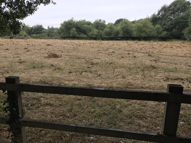
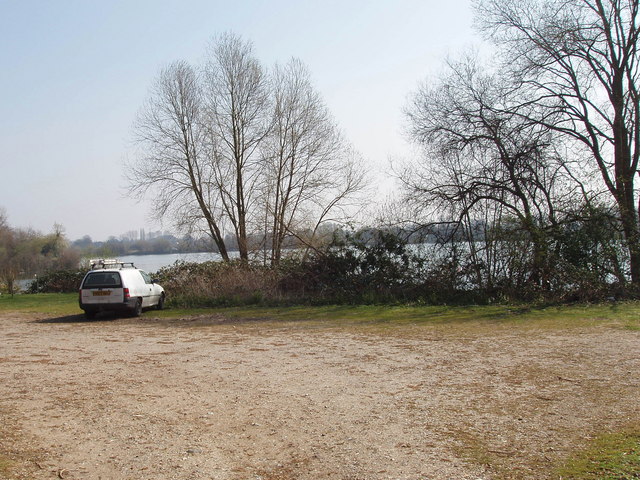
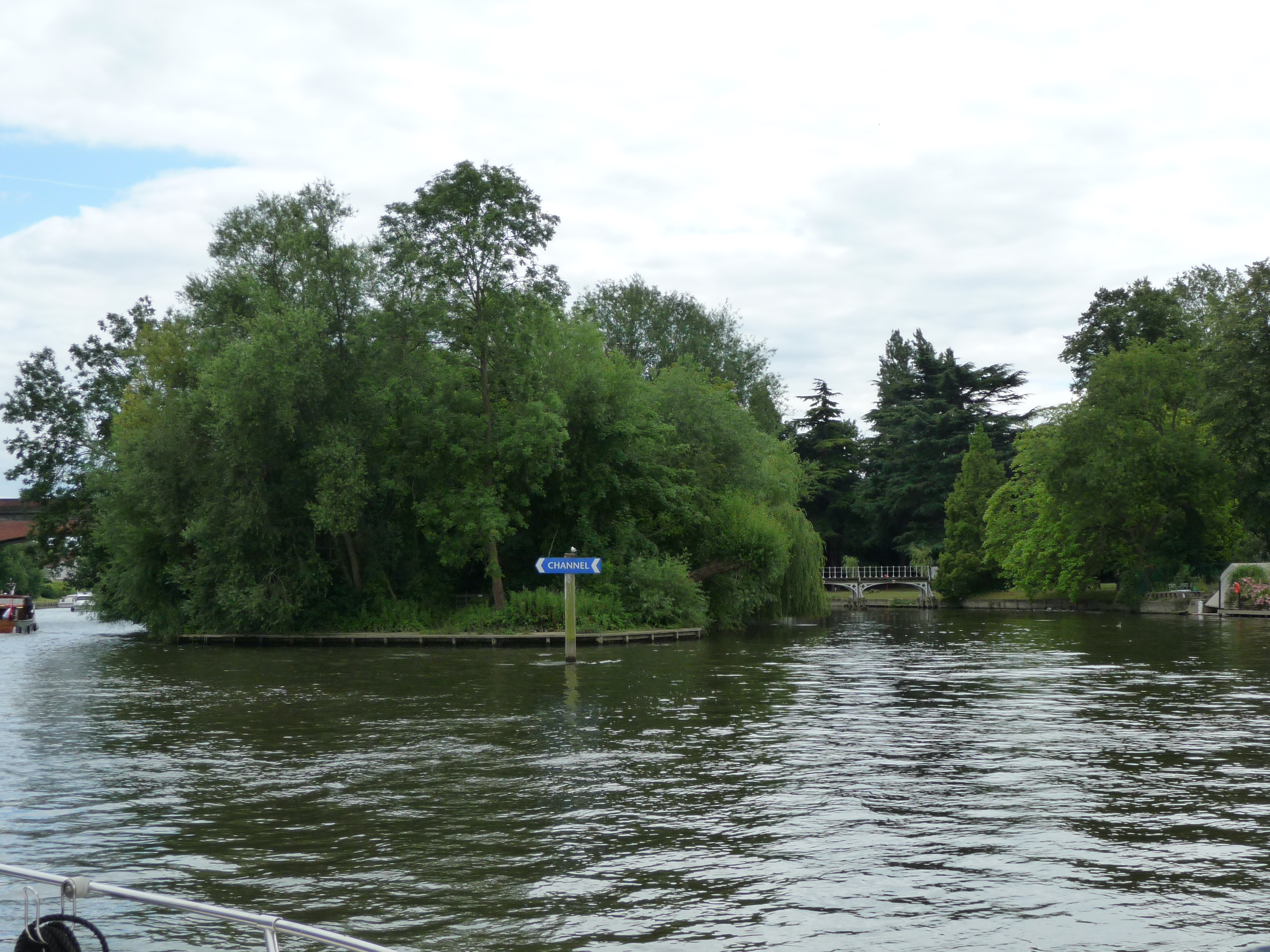
Amerden Ponds, located in Buckinghamshire, England, is a picturesque freshwater marshland consisting of interconnected lakes, pools, and ponds. Nestled within the tranquil countryside, this natural haven covers an area of approximately 40 hectares.
The diverse ecosystem of Amerden Ponds attracts various species of flora and fauna, making it an ideal spot for nature enthusiasts and wildlife lovers. The marshland is adorned with a rich tapestry of aquatic plants, including water lilies, reeds, and sedges, which provide vital habitats for numerous species of insects, birds, and amphibians.
The interconnected water bodies of Amerden Ponds are home to a variety of fish species, such as pike, perch, and carp, making it a popular destination for anglers seeking a peaceful fishing experience. Additionally, the ponds attract a wide range of waterfowl, including mallards, coots, and herons, providing ample opportunities for birdwatching all year round.
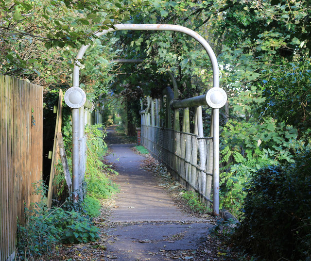
Visitors to Amerden Ponds can explore the area's natural beauty through a network of well-maintained footpaths and boardwalks, offering scenic views of the marshland and its inhabitants. The site also features picnic areas and seating, allowing visitors to relax and enjoy the peaceful surroundings.
Managed by the Buckinghamshire County Council, Amerden Ponds offers a peaceful retreat from the bustle of urban life and provides educational opportunities for visitors to learn about wetland conservation. The site is accessible to all, with designated parking and disabled access facilities.
In conclusion, Amerden Ponds in Buckinghamshire is a stunning freshwater marshland teeming with diverse wildlife, offering an enchanting experience for nature lovers and a tranquil escape for all who visit.
If you have any feedback on the listing, please let us know in the comments section below.
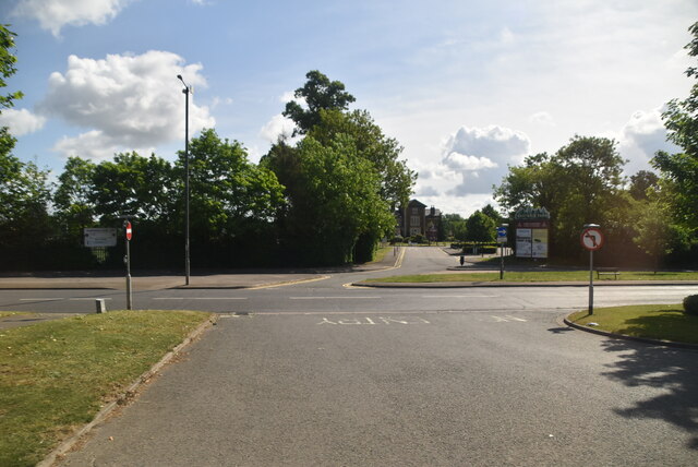
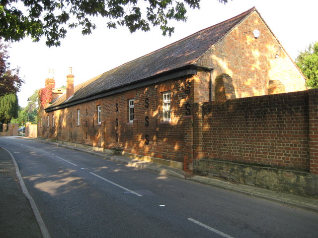
Amerden Ponds Images
Images are sourced within 2km of 51.518619/-0.69624308 or Grid Reference SU9080. Thanks to Geograph Open Source API. All images are credited.


Amerden Ponds is located at Grid Ref: SU9080 (Lat: 51.518619, Lng: -0.69624308)
Unitary Authority: Buckinghamshire
Police Authority: Thames Valley
What 3 Words
///bossy.bound.useful. Near Maidenhead, Berkshire
Nearby Locations
Related Wikis

Maidenhead Railway Bridge
Maidenhead Railway Bridge, also known as Maidenhead Viaduct and The Sounding Arch, carries the Great Western Main Line (GWML) over the River Thames between...

Claires Court School Boat Club
Claires Court School Boat Club is a rowing club based on the River Thames in Maidenhead. == History == The Club belongs to Claires Court School and was...
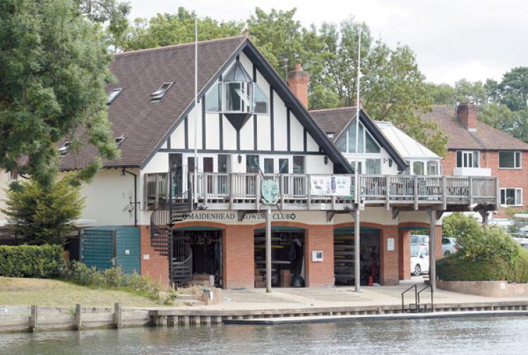
Maidenhead Rowing Club
Maidenhead Rowing Club is a rowing club, on the River Thames in England at Maidenhead, Berkshire. The clubhouse is on the reach above Bray Lock on the...
Taplow Lake
Taplow Lake is a 30-acre (120,000 m2) lake just south of the A4 between Maidenhead and Slough in Amerden Lane, Buckinghamshire. Recreational activities...
Guards Club Island
Guards Club Island, also known as Bucks Ait or bucks' eyot is an island in the River Thames connected by footbridge by to Maidenhead, Berkshire accommodating...

Maidenhead Bridge
Maidenhead Bridge is a Grade I listed bridge carrying the A4 road over the River Thames between Maidenhead, Berkshire and Taplow, Buckinghamshire, England...

Skindles
Skindles was a hotel in Maidenhead, England, on the Buckinghamshire bank of the River Thames by Maidenhead Bridge. Formerly the Orkney Arms, built in 1743...

Bridge Eyot
Bridge Eyot also known as Bridge Ait is an island in the River Thames in England just above Maidenhead Bridge on the reach above Bray Lock, near Maidenhead...
Nearby Amenities
Located within 500m of 51.518619,-0.69624308Have you been to Amerden Ponds?
Leave your review of Amerden Ponds below (or comments, questions and feedback).