Upper Lake
Lake, Pool, Pond, Freshwater Marsh in Berkshire
England
Upper Lake

Upper Lake is a picturesque body of water located in Berkshire, England. Nestled amidst the rolling hills and lush greenery, it is a popular destination for locals and tourists alike seeking a serene and tranquil environment.
With a surface area of approximately 20 acres, Upper Lake is considered a medium-sized lake. The crystal-clear freshwater is fed by natural springs and is home to a variety of aquatic plants and organisms. The lake's depth ranges from shallow areas near the shore to deeper sections in the center, offering different experiences for visitors.
The surrounding landscape is adorned with an abundance of trees, creating a stunning backdrop for the lake. This lush vegetation provides a habitat for numerous bird species, making it a haven for birdwatching enthusiasts. Visitors can often catch glimpses of ducks, swans, and herons gracefully gliding across the water's surface.
Upper Lake also features a small pool and pond area, adding to its charm. These smaller water bodies are interconnected with the main lake, creating a diverse ecosystem. Freshwater marshes can be found along the lake's edge, serving as a habitat for various plant and animal species, including reeds, cattails, and frogs.
The tranquil ambiance and natural beauty of Upper Lake make it an ideal location for outdoor activities such as fishing, boating, and picnicking. It provides a respite from the hustle and bustle of everyday life, allowing visitors to relax and immerse themselves in the peaceful surroundings. Whether it's exploring the diverse wildlife or simply enjoying the gentle lapping of the water, Upper Lake offers a serene oasis for nature enthusiasts to escape to.
If you have any feedback on the listing, please let us know in the comments section below.
Upper Lake Images
Images are sourced within 2km of 51.40783/-0.88461189 or Grid Reference SU7768. Thanks to Geograph Open Source API. All images are credited.


Upper Lake is located at Grid Ref: SU7768 (Lat: 51.40783, Lng: -0.88461189)
Unitary Authority: Wokingham
Police Authority: Thames Valley
What 3 Words
///scrambles.eclipses.part. Near Barkham, Berkshire
Nearby Locations
Related Wikis

Bearwood Lakes Golf Club
Bearwood Lakes Golf Club is a golf club, located in Sindlesham, Berkshire, England. It was established in 1996. In 2019, a new purpose-built all-weather...

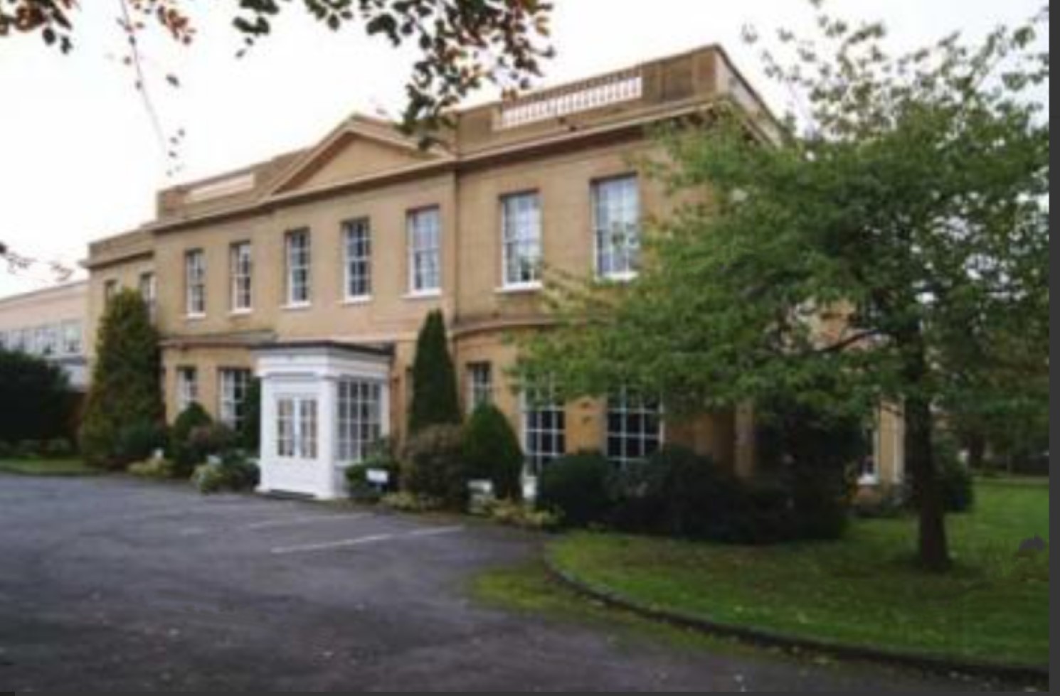
Bearwood House
Bearwood or Bear Wood, Sindlesham, Berkshire, England is a Victorian country house built for John Walter, the owner of The Times. The architect was Robert...
Reddam House, Berkshire
Reddam House Berkshire is a co-educational, independent school in Wokingham, in the English county of Berkshire. Reddam House provides education for boys...
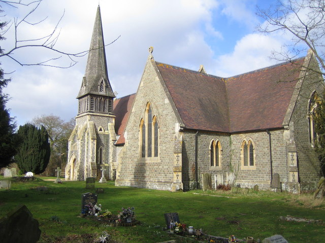
Barkham
Barkham is a village and civil parish in the borough of Wokingham in Berkshire, England, located around 2 miles (3.2 km) southwest of the town of Wokingham...
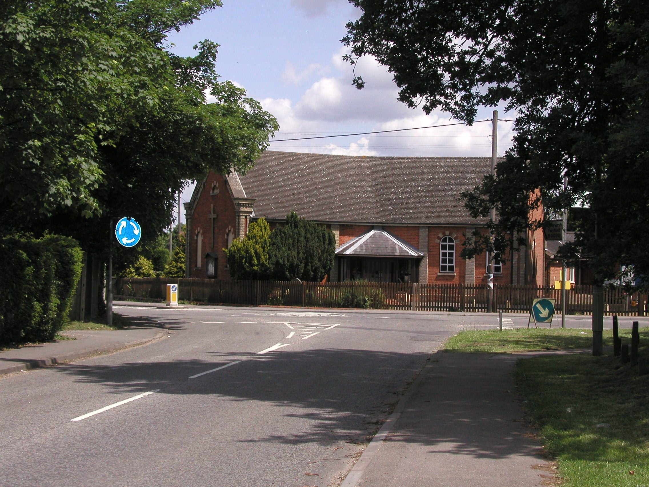
Sindlesham
Sindlesham is an estate village in the borough of Wokingham in Berkshire, England. It is located around 4 miles (6.4 km) southeast of Reading and around...
Sindlesham Court
Sindlesham Court, near Wokingham, is a building of historical significance and is Grade II listed (as Berkshire Masonic Centre) on the English Heritage...

Woosehill
Woosehill is a suburb of Wokingham in the English county of Berkshire.Woosehill – spelled incorrectly as Woose Hill on Ordnance Survey maps – is the north...
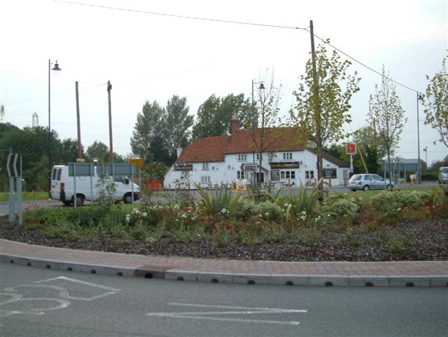
Arborfield Cross
Arborfield Cross is a village in the civil parish of Arborfield and Newland in the Borough of Wokingham in the English county of Berkshire. == Location... ==
Nearby Amenities
Located within 500m of 51.40783,-0.88461189Have you been to Upper Lake?
Leave your review of Upper Lake below (or comments, questions and feedback).