Bridger's Pond
Lake, Pool, Pond, Freshwater Marsh in Sussex Chichester
England
Bridger's Pond

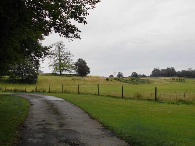
Bridger's Pond, located in Sussex, is a picturesque freshwater marsh that offers a serene and tranquil environment for nature enthusiasts. Spanning an area of approximately 2 acres, it can be classified as both a lake and a pond due to its size and characteristics.
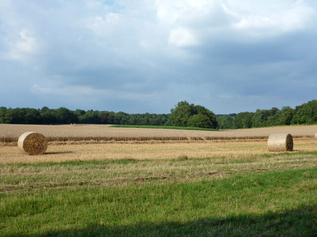
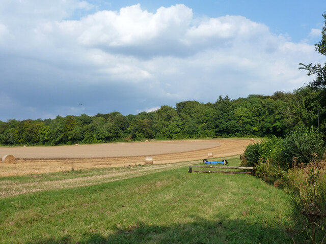
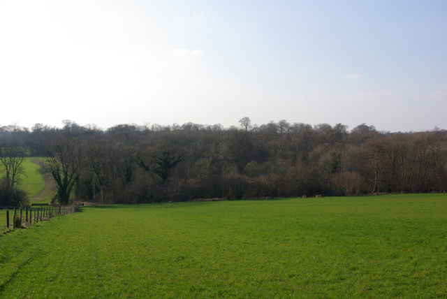
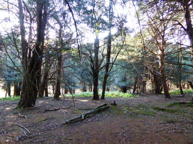
The pond is nestled amidst lush greenery, surrounded by trees and reeds, creating a natural habitat for a diverse range of flora and fauna. The crystal-clear water of Bridger's Pond is fed by underground springs, ensuring a constant flow and maintaining its freshness.
The pond is home to various species of fish, including trout, carp, and perch, making it a popular spot for fishing enthusiasts. Anglers can be seen casting their lines from the shores or from small boats, hoping to catch a prized specimen.
Aside from fishing, Bridger's Pond offers opportunities for wildlife observation and birdwatching. The surrounding marshland attracts a wide array of waterbirds, such as herons, ducks, and grebes, which can be observed in their natural habitat. Visitors can also spot dragonflies, frogs, and other small creatures that thrive in the marsh ecosystem.
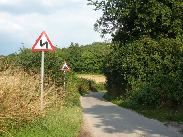
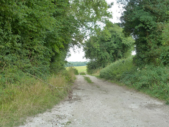
The pond is easily accessible, with a well-maintained footpath that loops around its perimeter, allowing visitors to enjoy a leisurely stroll while taking in the scenic views. Additionally, there are several benches strategically placed along the path, providing resting spots for those who wish to sit and admire the tranquility of the pond.
Overall, Bridger's Pond in Sussex offers a peaceful retreat for nature lovers, providing a haven for fishing, wildlife observation, and moments of relaxation amidst the beauty of its freshwater marsh ecosystem.
If you have any feedback on the listing, please let us know in the comments section below.
Bridger's Pond Images
Images are sourced within 2km of 50.943886/-0.89761319 or Grid Reference SU7716. Thanks to Geograph Open Source API. All images are credited.
Bridger's Pond is located at Grid Ref: SU7716 (Lat: 50.943886, Lng: -0.89761319)
Administrative County: West Sussex
District: Chichester
Police Authority: Sussex
What 3 Words
///reception.twisting.horn. Near South Harting, West Sussex
Nearby Locations
Related Wikis

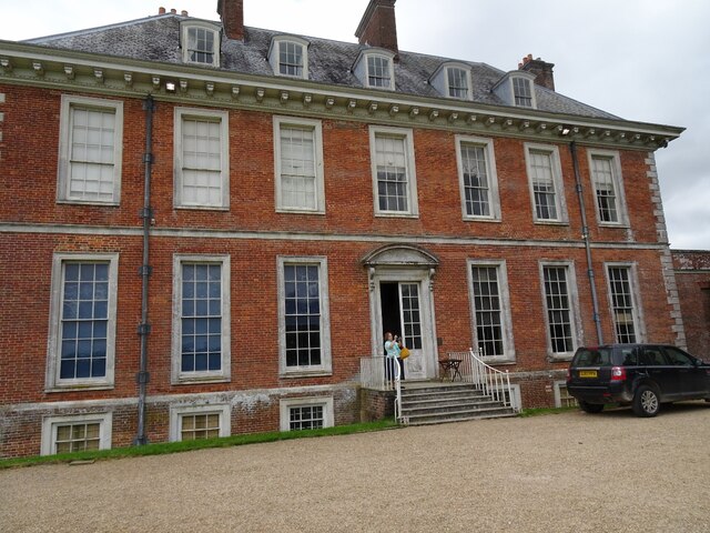
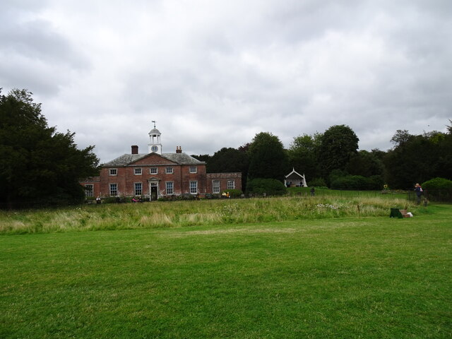
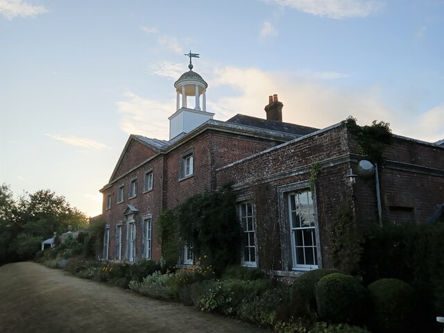
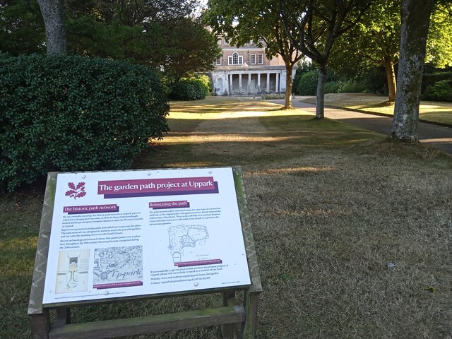
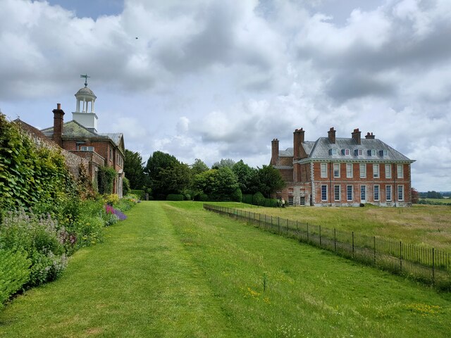
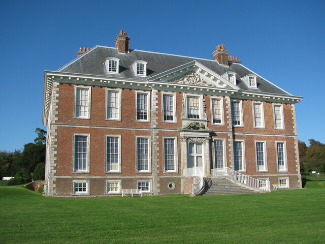
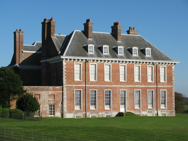
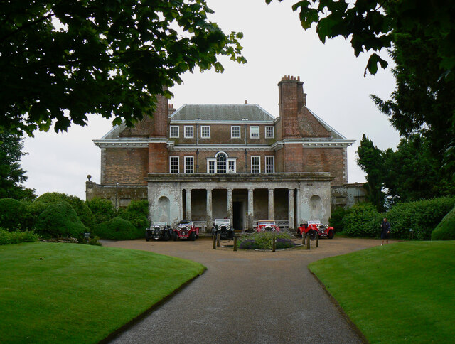
Uppark
Uppark is a 17th-century house in South Harting, West Sussex, England. It is a Grade I listed building and a National Trust property. == History == The...
Pads Wood
Pads Wood is a 22.2-hectare (55-acre) biological Site of Special Scientific Interest west of Midhurst in West Sussex.This ancient coppiced wood is mainly...
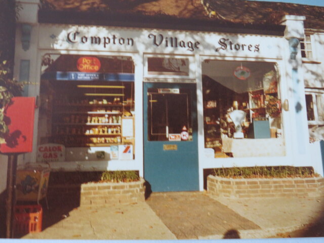
Compton, West Sussex
Compton is a village and civil parish in the Chichester district of West Sussex. The village lies on the B2146 road, six miles (9.7 km) southeast of Petersfield...
Vandalian Tower
The Vandalian Tower at Harting, West Sussex, England, is an 18th-century folly, built to commemorate the British colony of Vandalia, a short-lived colony...
West Harting Down SSSI
West Harting Down SSSI is a 13.9-hectare (34-acre) biological Site of Special Scientific Interest west of South Harting in West Sussex. It is part of...

Compton Down, Compton
Compton Down is an extent of high ground near Compton, West Sussex where there was an Admiralty semaphore station. The semaphore station was built at...

Harting Downs
Harting Downs is a 336.3-hectare (831-acre) biological Site of Special Scientific Interest west of Midhurst in West Sussex. It is a Nature Conservation...
Ditcham Park School
Ditcham Park School is a co-educational, independent school in the civil parish of Buriton, near Petersfield, in the English county of Hampshire. ��2...
Nearby Amenities
Located within 500m of 50.943886,-0.89761319Have you been to Bridger's Pond?
Leave your review of Bridger's Pond below (or comments, questions and feedback).