Dogmersfield Lake
Lake, Pool, Pond, Freshwater Marsh in Hampshire Hart
England
Dogmersfield Lake
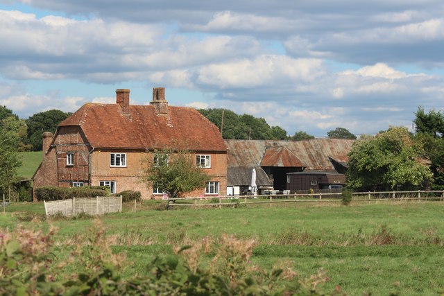
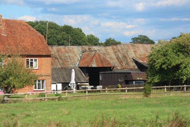
Dogmersfield Lake is a picturesque freshwater body located in the county of Hampshire, England. Situated in the village of Dogmersfield, it covers an area of approximately 5 acres and is surrounded by lush greenery, making it a popular spot for nature enthusiasts.
The lake is often referred to as a pool or pond due to its relatively small size. It is fed by several natural springs and streams, ensuring a constant flow of fresh water. The water is crystal clear and supports a diverse range of aquatic life, including various species of fish, amphibians, and waterfowl. The lake's shallow depth and calm waters make it an ideal habitat for these creatures.
Surrounding the lake is a freshwater marsh, which is home to a rich variety of plant species. The marsh provides a habitat for numerous animals, including insects, birds, and small mammals. It is particularly renowned for its vibrant display of wildflowers during the spring and summer months.
The lake is a popular destination for outdoor activities such as fishing, boating, and birdwatching. Anglers can be seen casting their lines in search of carp, perch, and roach, among other species. The serene atmosphere and beautiful surroundings make it a tranquil spot for relaxation and reflection.
Overall, Dogmersfield Lake is a charming freshwater body that offers visitors a chance to immerse themselves in the natural beauty of Hampshire. Whether it be enjoying a leisurely stroll along its banks or partaking in recreational activities, the lake provides a serene and picturesque setting for all to enjoy.
If you have any feedback on the listing, please let us know in the comments section below.
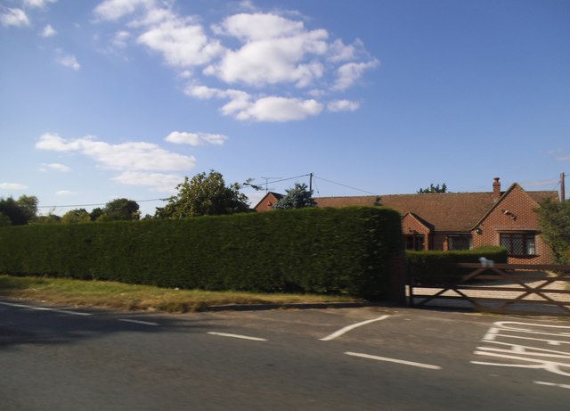
Dogmersfield Lake Images
Images are sourced within 2km of 51.260312/-0.91305068 or Grid Reference SU7551. Thanks to Geograph Open Source API. All images are credited.


Dogmersfield Lake is located at Grid Ref: SU7551 (Lat: 51.260312, Lng: -0.91305068)
Administrative County: Hampshire
District: Hart
Police Authority: Hampshire
What 3 Words
///plotting.revisit.redeemed. Near Odiham, Hampshire
Nearby Locations
Related Wikis
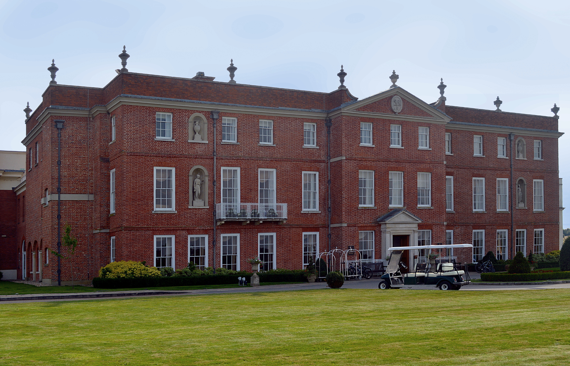
Dogmersfield Park
Dogmersfield Park or Dogmersfield House is a Grade I listed Georgian country house, now being used as a hotel. It is located in Dogmersfield, a small village...

Whitehall, Hampshire
Whitehall is a hamlet in the civil parish of Odiham in Hampshire, England. Its nearest town is Hook, approximately 3.5 miles (4.75 km) away.

Winchfield
Winchfield is a small village in the Hart District of Hampshire in the South-East of England. It is situated 1 mile (1.6 km) south-west of Hartley Wintney...
Rye, Hampshire
Rye is a hamlet in the civil parish of Odiham, in the Hart district of Hampshire, England. The hamlet lies near the A287 road between Odiham and Farnham...
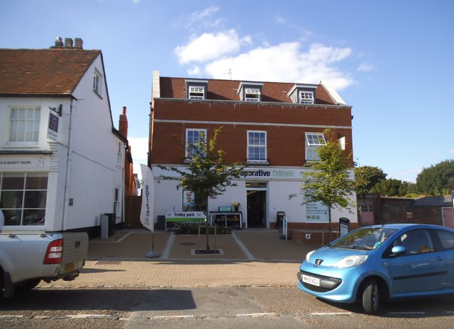
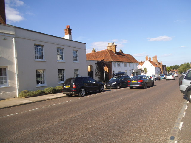
Odiham
Odiham () is a large historic village and civil parish in the Hart district of Hampshire, England. It is twinned with Sourdeval in the Manche Department...

All Saints Church, Odiham
All Saints Church is an Anglican church in the village of Odiham, Hampshire. It is situated near to Odiham's high street, 10 miles (15.2 km) away from...
Andwells Brewery
Andwell Brewing Company was started by Adam Komrower in 2008, and was based at Lodge Farm behind Newlyns farmshop in North Warnborough, Hampshire, England...
North Warnborough
North Warnborough is a village in the Hart district of Hampshire, England. It is in the civil parish of Odiham. It is located less than 2 miles (3.2...
Related Videos

Odiham Castle, UK
Odiham Castle King's John Castle built 1207-1214 Hampshire County UK.


The best way to arrive to Hampshire, England - Succession style 🚁 #hampshire #luxurytravel
hampshire #hampshireuk #unitedkingdom #travelbritain #fourseasonshotel Visit: Carrieamitchell.com ...

Nearby Amenities
Located within 500m of 51.260312,-0.91305068Have you been to Dogmersfield Lake?
Leave your review of Dogmersfield Lake below (or comments, questions and feedback).