Great Stukeley

Settlement in Huntingdonshire Huntingdonshire

England

Great Stukeley

23 Church Road, Great Stukeley Cottage dating from about 1700 <span class="nowrap"><a title="https://historicengland.org.uk/listing/the-list/list-entry/1330501" rel="nofollow ugc noopener" href="https://historicengland.org.uk/listing/the-list/list-entry/1330501">Link</a><img style="margin-left:2px;" alt="External link" title="External link - shift click to open in new window" src="https://s1.geograph.org.uk/img/external.png" width="10" height="10"/></span>
23 Church Road, Great Stukeley Credit: Jonathan Thacker

Great Stukeley is a quaint village located in the district of Huntingdonshire, in the county of Cambridgeshire, England. Situated just three miles west of the historic market town of Huntingdon, Great Stukeley is a small and close-knit community with a population of around 1,300 residents.

The village is surrounded by picturesque countryside, offering residents and visitors a tranquil environment to enjoy. It is characterized by beautiful green fields, charming cottages, and a peaceful atmosphere that attracts those seeking a quieter lifestyle away from the hustle and bustle of larger towns and cities.

Great Stukeley has a rich history, with evidence of human settlement dating back to Roman times. The village's name is derived from the Old English words "stoc" and "leah," meaning a clearing or pasture for livestock, which reflects the village's agricultural heritage.

The heart of Great Stukeley is its village green, a central gathering point for locals and visitors alike. The green is surrounded by several amenities, including a village hall, a primary school, a church, and a local pub, providing a sense of community and offering essential services to residents.

Despite its small size, Great Stukeley offers a range of recreational activities for its residents. The village is home to various sports clubs, including cricket, football, and bowls. Additionally, the surrounding countryside provides ample opportunities for outdoor pursuits such as walking, cycling, and horse riding.

Overall, Great Stukeley is a charming and peaceful village that offers a close-knit community, beautiful surroundings, and a rich history. It is an ideal destination for those seeking a slower-paced lifestyle in a picturesque English village.

If you have any feedback on the listing, please let us know in the comments section below.

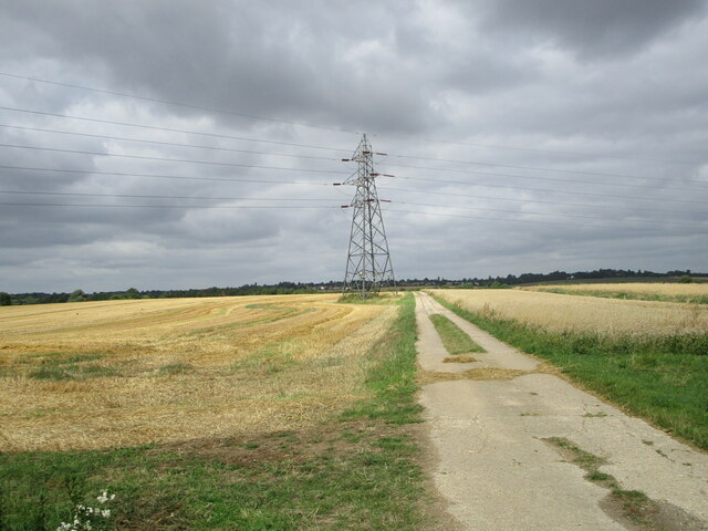
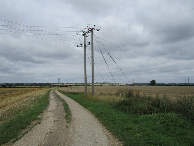
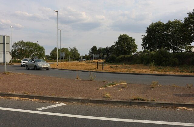
Great Stukeley Images

Images are sourced within 2km of 52.354894/-0.205656 or Grid Reference TL2274. Thanks to Geograph Open Source API. All images are credited.

23 Church Road, Great Stukeley Cottage dating from about 1700 <span class="nowrap"><a title="https://historicengland.org.uk/listing/the-list/list-entry/1330501" rel="nofollow ugc noopener" href="https://historicengland.org.uk/listing/the-list/list-entry/1330501">Link</a><img style="margin-left:2px;" alt="External link" title="External link - shift click to open in new window" src="https://s1.geograph.org.uk/img/external.png" width="10" height="10"/></span>
23 Church Road, Great Stukeley
Cottage dating from about 1700 LinkExternal link
11 Church Way, Little Stukeley Seventeenth century cottage <span class="nowrap"><a title="https://historicengland.org.uk/listing/the-list/list-entry/1130166" rel="nofollow ugc noopener" href="https://historicengland.org.uk/listing/the-list/list-entry/1130166">Link</a><img style="margin-left:2px;" alt="External link" title="External link - shift click to open in new window" src="https://s1.geograph.org.uk/img/external.png" width="10" height="10"/></span>
11 Church Way, Little Stukeley
Seventeenth century cottage LinkExternal link
The beginning of a footpath off Ermine Street
Bridleway to Great Stukeley
Byway to Alconbury
Byway to Alconbury
Great Stukeley, St Bartholomew
Little Stukeley, St Martin
Roundabout on Spittals Way, Huntingdon This is the Huntingdon bypass, linking the A1 to March and beyond.
Roundabout on Spittals Way, Huntingdon
This is the Huntingdon bypass, linking the A1 to March and beyond.
Encocam on Stonehill, Huntingdon They are engineers <span class="nowrap"><a title="https://www.encocam.com/" rel="nofollow ugc noopener" href="https://www.encocam.com/">Link</a><img style="margin-left:2px;" alt="External link" title="External link - shift click to open in new window" src="https://s1.geograph.org.uk/img/external.png" width="10" height="10"/></span>
Encocam on Stonehill, Huntingdon
They are engineers LinkExternal link
Stonehill at the junction of St Margaret's Way On the industrial estate.
Stonehill at the junction of St Margaret's Way
On the industrial estate.
St Margaret's Way, Huntingdon
RAF Alconbury Gate Guardian The gate guardian at RAF Alconbury is a full scale replica F-5E Tiger II. Painted in 527TFTAS colours and given the identity 01532 (74-1532) it guards the USAF Enclave at RAF Alconbury. The plane is a relic of the 1980s.
RAF Alconbury Gate Guardian
The gate guardian at RAF Alconbury is a full scale replica F-5E Tiger II. Painted in 527TFTAS colours and given the identity 01532 (74-1532) it guards the USAF Enclave at RAF Alconbury. The plane is a relic of the 1980s.
Stubble field near Great Stukeley
Farm track near Waterloo Farm
Harvesting wheat Brook Field Farm just visible through the dust above the combine harvester.
Harvesting wheat
Brook Field Farm just visible through the dust above the combine harvester.
Bridleway to Waterloo Farm
Footpath to Low Road
Show me another place!

Great Stukeley is located at Grid Ref: TL2274 (Lat: 52.354894, Lng: -0.205656)

Administrative County: Cambridgeshire

District: Huntingdonshire

Police Authority: Cambridgeshire

What 3 Words

///basket.spark.drummers. Near Huntingdon, Cambridgeshire

Related Wikis

Great Stukeley

Great Stukeley is a village and former civil parish, now in the parish of The Stukeleys. It is 1.8 miles (2.9 km) north-west of Huntingdon. Great Stukeley...

The Stukeleys

The Stukeleys is a civil parish in the district of Huntingdonshire, in Cambridgeshire, England, consisting of the villages of Great Stukeley and Little...

Alconbury High School

Alconbury High School is a public high school located in Alconbury, England, operated by the Department of Defense Education Activity (DoDEA). It is a...

Great Stukeley Railway Cutting

Great Stukeley Railway Cutting is a 34.7-hectare (86-acre) biological Site of Special Scientific Interest in Huntingdon in Cambridgeshire.The site is on...

Nearby Amenities

Located within 500m of 52.354894,-0.205656
Post Box
Collection Times: Mo-Fr 17:30
Post Box Type: lamp
Postal Code: PE28
Ref: PE28 275
Lat/Long: 52.3566599/-0.2102429
Crossing
Crossing: unmarked
Crossing Island: no
Crossing Markings: no
Tactile Paving: yes
Lat/Long: 52.3563924/-0.2106143
Crossing
Crossing: unmarked
Crossing Island: no
Crossing Markings: no
Tactile Paving: no
Lat/Long: 52.3549607/-0.2087565
Bus Stop
Owl End
Bus: yes
Naptan AtcoCode: 0500HTHES003
Naptan Bearing: SE
Naptan CommonName: Owl End
Naptan Indicator: near
Naptan Landmark: Owl End
Naptan NaptanCode: cmbdtjad
Naptan ShortCommonName: Owl End
Naptan Street: Ermine Street
Naptan Verified: no
Public Transport: platform
Shelter: yes
Source: naptan_import
Lat/Long: 52.3562718/-0.2103626
Bus Stop
Owl End
Bus: yes
Naptan AtcoCode: 0500HTHES005
Naptan Bearing: NW
Naptan CommonName: Owl End
Naptan Indicator: opp
Naptan Landmark: Owl End
Naptan NaptanCode: cmbdtjaj
Naptan ShortCommonName: Owl End
Naptan Street: Ermine Street
Naptan Verified: no
Public Transport: platform
Shelter: yes
Source: naptan_import
Lat/Long: 52.3557451/-0.2100168
Post Box
Collection Times: Mo-Fr 17:15; Sa 09:30
Description: In front of barn
Ref: PE28 144
Royal Cypher: EIIR
Royal Cypher Wikidata: Q33102113
Lat/Long: 52.3528645/-0.2051319
Kindergarten
Great Stukeley Day Nursery
Lat/Long: 52.3587767/-0.2086556
Booth: K6
Removed Amenity: telephone
Lat/Long: 52.3547507/-0.211249
Crossing
Crossing: unmarked
Crossing Island: no
Crossing Markings: no
Tactile Paving: no
Lat/Long: 52.352584/-0.2054762
College Farm
Landuse: farm
Note Retag: CS #48756035
Lat/Long: 52.3584959/-0.2088065
Post Box
Ref: PE28 154
Lat/Long: 52.3542719/-0.208959
Washingley Farm
Landuse: farm
Note Retag: CS #48756035
Lat/Long: 52.3552608/-0.2017094
Grange Farm
Landuse: farm
Note Retag: CS #48756035
Lat/Long: 52.3563056/-0.2016589
Barrier: kissing_gate
Lat/Long: 52.3557899/-0.1994542
Barrier: kissing_gate
Lat/Long: 52.3556871/-0.204857
Barrier: kissing_gate
Lat/Long: 52.3558947/-0.2076724
Barrier: kissing_gate
Lat/Long: 52.3558619/-0.2084878
Power: pole
Lat/Long: 52.3528131/-0.2093448
Power: pole
Lat/Long: 52.3504492/-0.2063667
Power: pole
Lat/Long: 52.3522546/-0.2079839
Power: pole
Lat/Long: 52.351347/-0.2071605
Green End
Is In: UK
Is In 1: Cambridgeshire
Place: hamlet
Lat/Long: 52.353913/-0.2028697
Turning Loop
Lat/Long: 52.3591126/-0.2056129
Crossing
Crossing: unmarked
Crossing Island: no
Crossing Markings: no
Tactile Paving: no
Lat/Long: 52.3557739/-0.2097461
Defibrillator
Defibrillator Location: outside Great Stukeley Village Hall facing Owl End
Emergency: defibrillator
Indoor: no
Lat/Long: 52.3564834/-0.2103571
Crossing
Crossing: unmarked
Crossing Island: yes
Crossing Markings: no
Tactile Paving: yes
Lat/Long: 52.3562515/-0.2105418
Crossing
Crossing: unmarked
Crossing Island: yes
Crossing Markings: no
Tactile Paving: yes
Lat/Long: 52.3561988/-0.2106259
The data included in this document is from www.openstreetmap.org. The data is made available under ODbL.

Have you been to Great Stukeley?

Leave your review of Great Stukeley below (or comments, questions and feedback).