Westerly Lake
Lake, Pool, Pond, Freshwater Marsh in Yorkshire
England
Westerly Lake

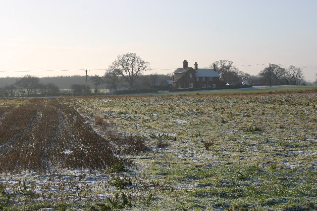
Westerly Lake, located in Yorkshire, is a picturesque body of water that serves as a vital freshwater ecosystem in the region. Covering an area of approximately 50 acres, it is classified as a lake due to its size and depth. Surrounded by lush greenery, the lake boasts a serene and tranquil ambiance, attracting nature enthusiasts and visitors seeking a peaceful retreat.
Westerly Lake is fed by several small streams that originate from nearby hills, ensuring a constant flow of freshwater. The lake's depth varies, with its deepest point reaching around 20 feet, providing a suitable habitat for various aquatic species. The water is generally clear and pristine, allowing for excellent visibility and making it a popular spot for fishing enthusiasts.
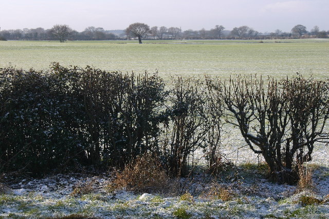
The lake also features a diverse array of flora and fauna. The surrounding vegetation includes reeds, water lilies, and other aquatic plants that provide shelter and food for a variety of waterfowl, such as ducks and swans. Additionally, the lake supports a healthy population of fish, including perch, pike, and carp, making it an ideal location for angling.
Westerly Lake is not only a haven for wildlife but also a recreational spot for locals and tourists alike. Visitors can enjoy activities such as boating, kayaking, and birdwatching. The lake's tranquil atmosphere and beautiful surroundings make it a popular destination for nature walks and picnics as well.
With its abundance of natural beauty and diverse ecosystem, Westerly Lake stands as a valuable natural asset, contributing to the ecological balance and providing a peaceful haven for both wildlife and humans in Yorkshire.
If you have any feedback on the listing, please let us know in the comments section below.
Westerly Lake Images
Images are sourced within 2km of 53.895735/-0.97630225 or Grid Reference SE6744. Thanks to Geograph Open Source API. All images are credited.


Westerly Lake is located at Grid Ref: SE6744 (Lat: 53.895735, Lng: -0.97630225)
Division: East Riding
Unitary Authority: York
Police Authority: North Yorkshire
What 3 Words
///bonnet.sharpness.salary. Near Wheldrake, North Yorkshire
Nearby Locations
Related Wikis

Wheldrake railway station
Wheldrake railway station served the village of Wheldrake, East Riding of Yorkshire, England from 1913 to 1968 on the Derwent Valley Light Railway. �...
St Helen's Church, Wheldrake
St Helen's Church is the parish church in Wheldrake, a village in the rural south-eastern part of the City of York, in England. The oldest part of the...
Wheldrake
Wheldrake is a village and civil parish located 7 miles (11 km) south-east of York in the unitary authority of the City of York, which is in the ceremonial...

Escrick Rural District
Escrick was a rural district in the East Riding of Yorkshire from 1894 to 1935.It was formed under the Local Government Act 1894 from the part of the York...

Cottingwith railway station
Cottingwith railway station served the village of East Cottingwith, East Riding of Yorkshire, England from 1913 to 1964 on the Derwent Valley Light Railway...

Thicket Priory
Thicket Priory is a religious house in the civil parish of Thorganby, North Yorkshire, England, located about 7 miles (11.3 km) south-east of York. It...

RAF Elvington
Royal Air Force Elvington or more simply RAF Elvington is a former Royal Air Force station which operated from the beginning of the Second World War until...
Yorkshire Air Museum
The Yorkshire Air Museum & Allied Air Forces Memorial is an aviation museum in Elvington, York on the site of the former RAF Elvington airfield, a Second...
Nearby Amenities
Located within 500m of 53.895735,-0.97630225Have you been to Westerly Lake?
Leave your review of Westerly Lake below (or comments, questions and feedback).