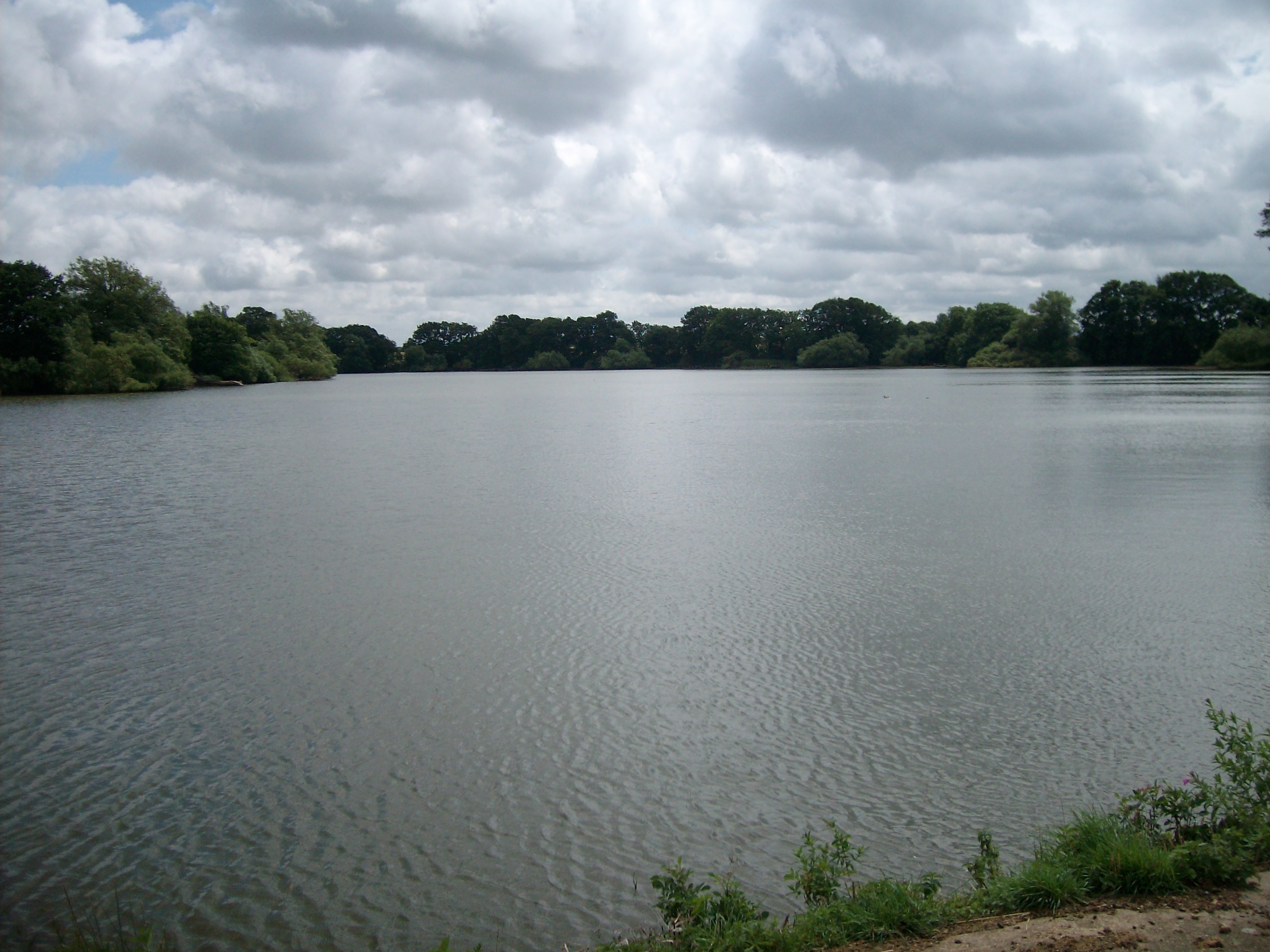
Sulby Reservoir
Lake, Pool, Pond, Freshwater Marsh in Northamptonshire
England
Sulby Reservoir
The requested URL returned error: 429 Too Many Requests
If you have any feedback on the listing, please let us know in the comments section below.
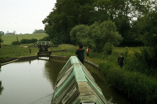
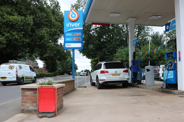
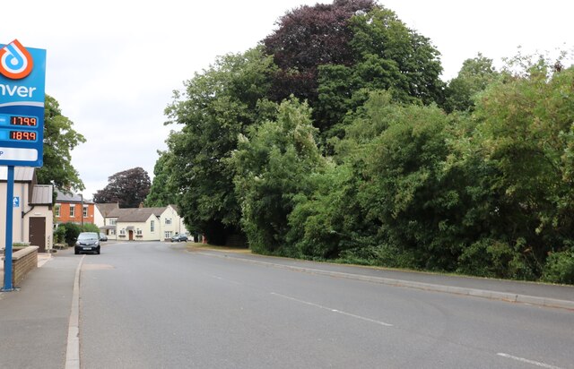
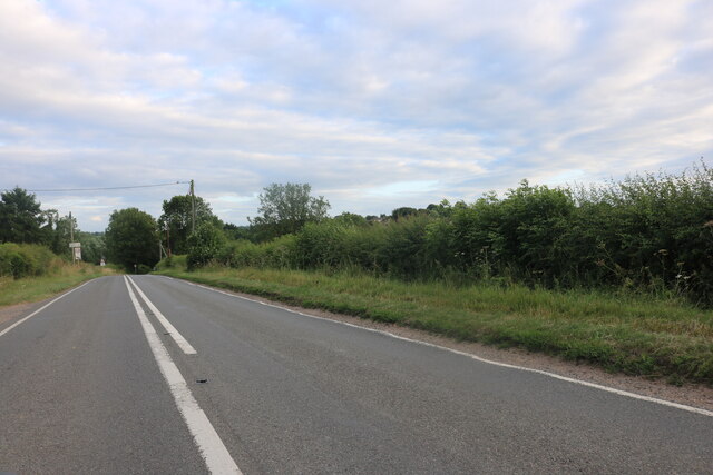
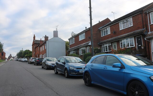
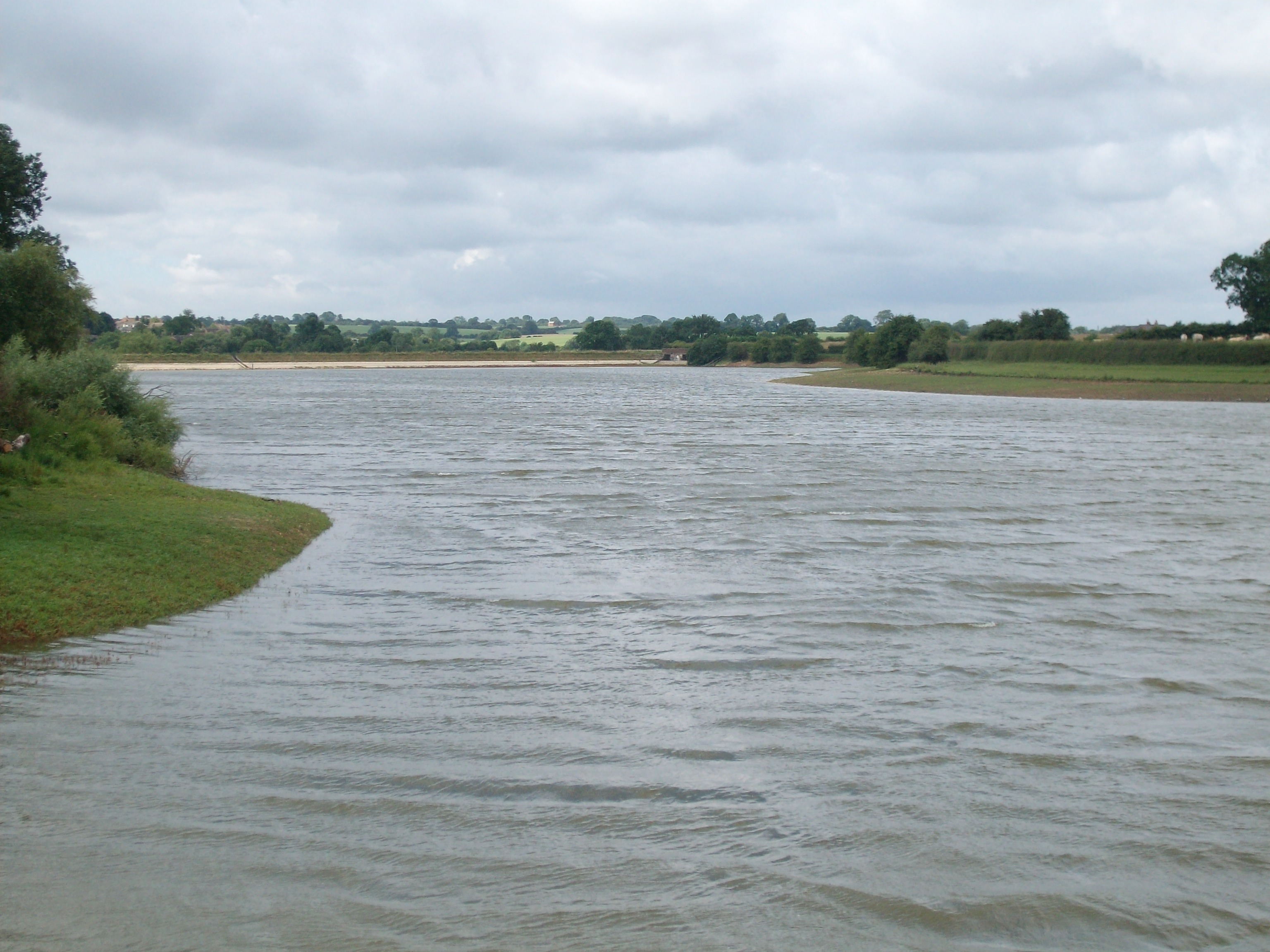
Sulby Reservoir Images
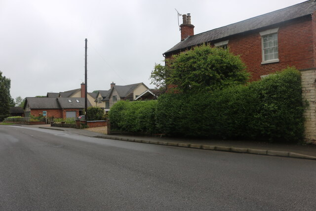
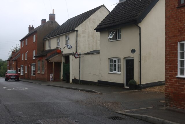
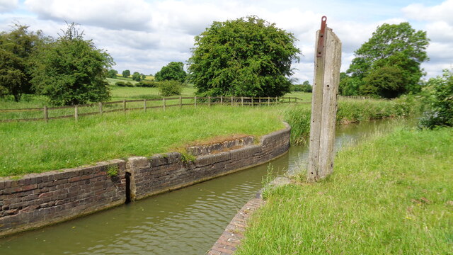
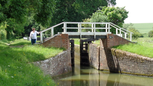
Images are sourced within 2km of 52.424286/-1.0356586 or Grid Reference SP6581. Thanks to Geograph Open Source API. All images are credited.
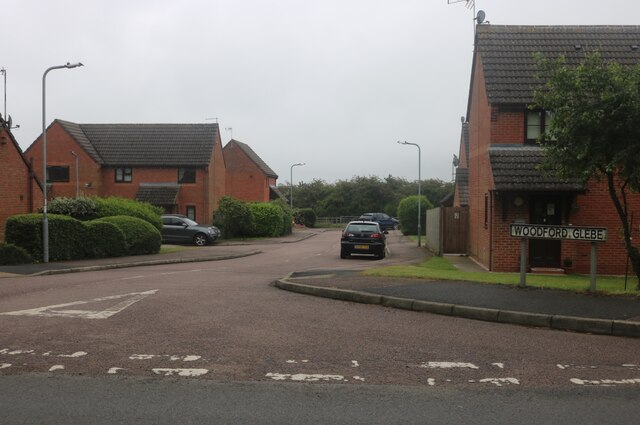
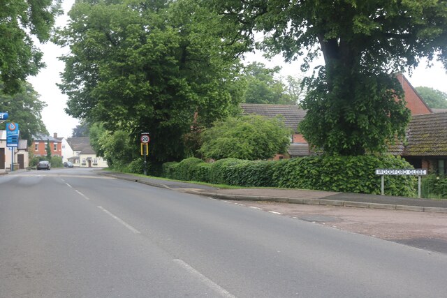
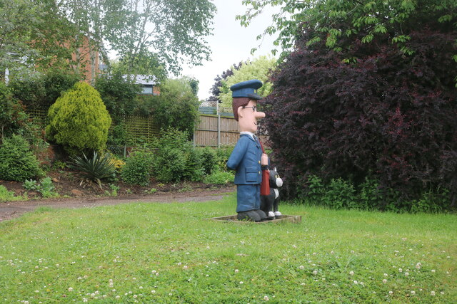


Sulby Reservoir is located at Grid Ref: SP6581 (Lat: 52.424286, Lng: -1.0356586)
Unitary Authority: West Northamptonshire
Police Authority: Northamptonshire
What 3 Words
///rewriting.ushering.minder. Near Welford, Northamptonshire
Nearby Locations
Related Wikis
Sulby Reservoir (Northamptonshire)
Sulby Reservoir is in the English county of Northamptonshire. Sulby Reservoir is the higher of a pair of reservoirs owned by the Canal & River Trust -...

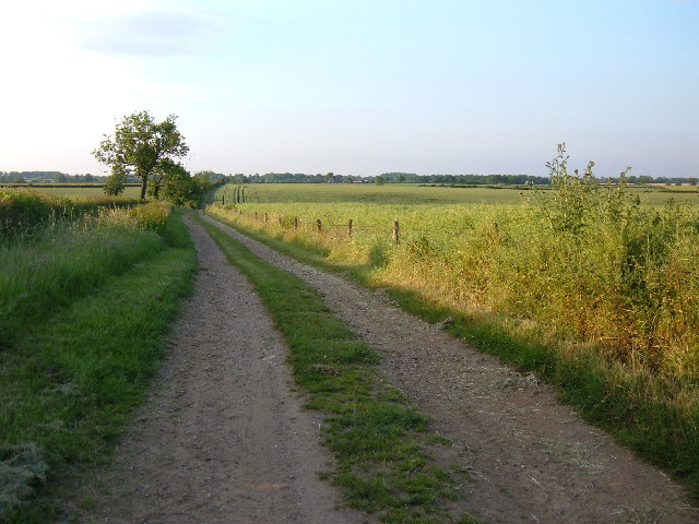
Jurassic Way
The Jurassic Way is a designated and signed long-distance footpath that connects the Oxfordshire town of Banbury with the Lincolnshire town of Stamford...
Welford Reservoir
Welford Reservoir is in the English county of Northamptonshire. Welford Reservoir is the lower of a pair of reservoirs owned by the Canal & River Trust...

Sulby, Northamptonshire
Sulby is a hamlet and civil parish in West Northamptonshire in England. The population of the hamlet at the 2011 Census is included in the civil parish...
Nearby Amenities
Located within 500m of 52.424286,-1.0356586Have you been to Sulby Reservoir?
Leave your review of Sulby Reservoir below (or comments, questions and feedback).