Buttermilk Pond
Lake, Pool, Pond, Freshwater Marsh in Hampshire Basingstoke and Deane
England
Buttermilk Pond
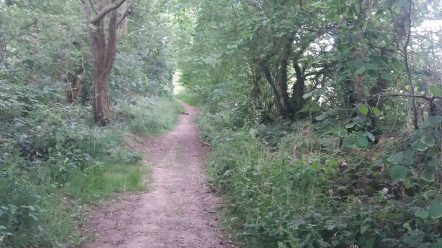
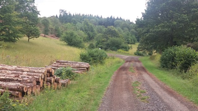
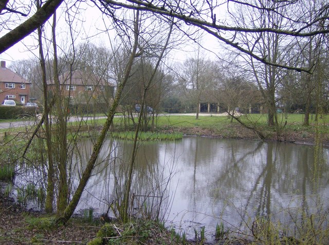
Buttermilk Pond is a picturesque freshwater pond located in Hampshire, a county in southern England. It is a popular destination for nature enthusiasts and outdoor lovers due to its serene surroundings and diverse ecosystem. Covering an area of approximately 10 acres, Buttermilk Pond is classified as a lake, pool, pond, and freshwater marsh.
The pond is characterized by its crystal-clear water, which is derived from natural springs and rainfall runoff. It is surrounded by lush vegetation, including reeds, water lilies, and various species of aquatic plants. These provide a habitat for a wide variety of wildlife, such as ducks, swans, herons, and other waterfowl.
Visitors to Buttermilk Pond can enjoy a range of recreational activities. Fishing is a popular pastime, with the pond being home to an abundance of fish species, including carp, roach, and perch. Anglers can cast their lines from the shore or rent a boat to explore the deeper parts of the pond.
Additionally, Buttermilk Pond offers opportunities for boating and kayaking, allowing visitors to explore the tranquil waters and take in the breathtaking scenery. The calm and peaceful atmosphere makes it an ideal spot for picnics and leisurely walks along the pond's edge.
Overall, Buttermilk Pond in Hampshire is a haven for both nature enthusiasts and those seeking relaxation in a beautiful natural setting. Its diverse ecosystem and range of recreational activities make it a must-visit destination for anyone looking to escape the hustle and bustle of everyday life.
If you have any feedback on the listing, please let us know in the comments section below.
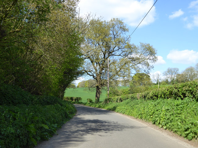
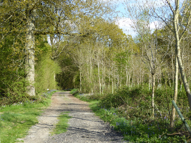
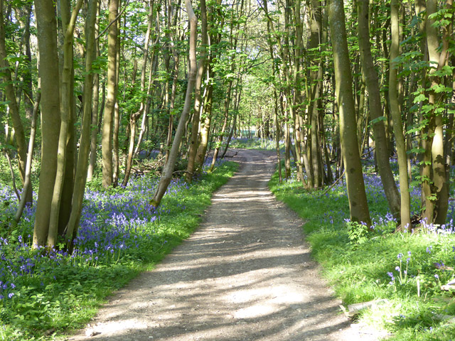
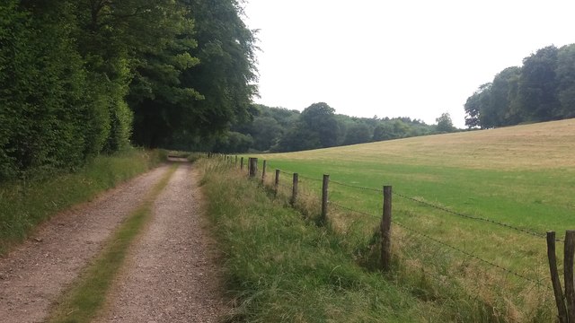
Buttermilk Pond Images
Images are sourced within 2km of 51.210212/-1.0861371 or Grid Reference SU6346. Thanks to Geograph Open Source API. All images are credited.


Buttermilk Pond is located at Grid Ref: SU6346 (Lat: 51.210212, Lng: -1.0861371)
Administrative County: Hampshire
District: Basingstoke and Deane
Police Authority: Hampshire
What 3 Words
///boots.chin.trail. Near Basingstoke, Hampshire
Nearby Locations
Related Wikis

Ellisfield
Ellisfield is a village in the Basingstoke and Deane district of Hampshire, England. It lies approximately 4 miles (6.4 km) south of Basingstoke on the...
Farleigh Wallop
Farleigh Wallop is a small village and civil parish in Hampshire, England, approximately 4.7 miles (7.6 km) south of Basingstoke on the slopes of Farleigh...
Broadmere
Broadmere is a hamlet in Hampshire, England. The hamlet comes under the parish of Farleigh Wallop and its nearest town is Basingstoke, about 2 miles away...

Herriard
Herriard is a village and civil parish in the Basingstoke and Deane district of Hampshire, England. Its nearest town is Basingstoke, which lies 4+1⁄2 miles...

Farleigh Hill
Farleigh Hill is one of the highest points in the county of Hampshire, England. It is part of the Hampshire Downs and reaches a height of 208 metres (682...
Winslade
Winslade is a hamlet and civil parish in the Basingstoke and Deane district of Hampshire, England. It lies 3 miles (4.8 km) south of Basingstoke, just...

Herriard railway station
Herriard railway station was a railway station in the village of Herriard, Hampshire, UK. The station was a stop on the Basingstoke and Alton Light Railway...
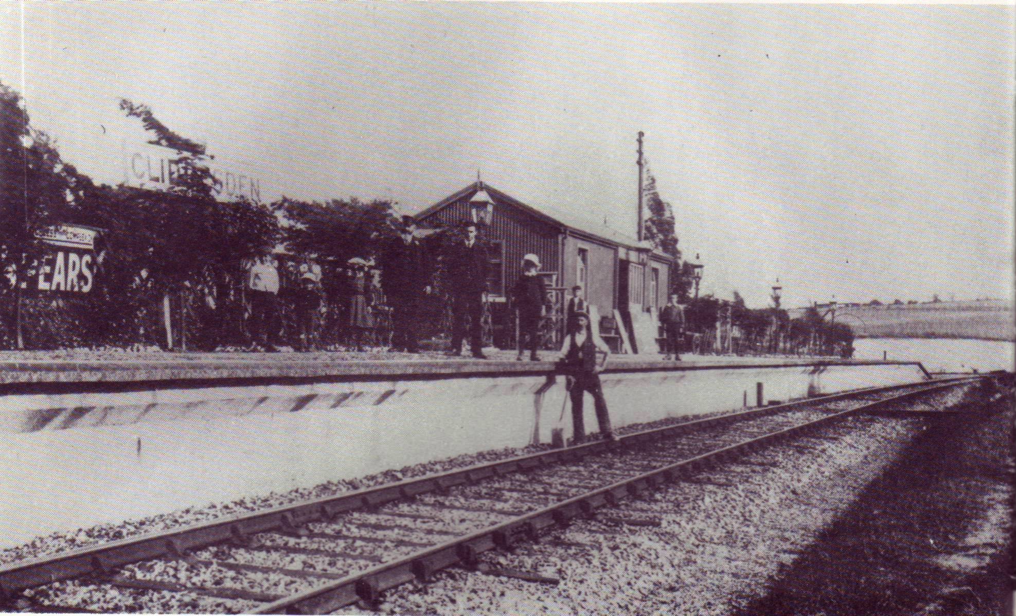
Cliddesden railway station
Cliddesden railway station was a railway station in the village of Cliddesden, Hampshire, UK. The station was a stop on the Basingstoke and Alton Light...
Nearby Amenities
Located within 500m of 51.210212,-1.0861371Have you been to Buttermilk Pond?
Leave your review of Buttermilk Pond below (or comments, questions and feedback).