Basin No 1
Lake, Pool, Pond, Freshwater Marsh in Hampshire
England
Basin No 1
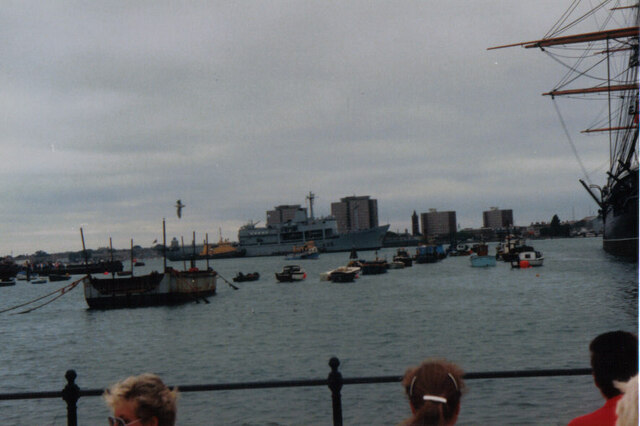
Basin No 1 is a freshwater marsh located in Hampshire, England. Spanning across a vast area, it is known for its diverse aquatic ecosystem and is often referred to as a lake, pool, or pond due to its size and prominent water features. The marsh is situated in a low-lying area, surrounded by dense vegetation and reed beds, creating an ideal habitat for a wide range of plant and animal species.
The water in Basin No 1 is predominantly sourced from rainfall and runoff, contributing to the overall freshwater environment. The marsh is characterized by its calm and still waters, which are rich in nutrients, making it a thriving ground for various aquatic plants such as lilies, reeds, and cattails. These plants provide shelter and breeding grounds for numerous species of birds, amphibians, and insects.
The diverse bird population in Basin No 1 is one of its main attractions. It serves as a crucial stopover for migratory birds, including ducks, geese, and swans, during their seasonal journeys. Additionally, the marsh is home to resident bird species like herons, kingfishers, and coots. Birdwatchers and nature enthusiasts often visit Basin No 1 for its renowned bird diversity and the opportunity to observe these species in their natural habitat.
The marsh is also inhabited by a variety of fish, including carp, perch, and roach, which thrive in the nutrient-rich waters. These fish species support the wider ecosystem by providing a food source for birds, mammals, and other predatory species.
Overall, Basin No 1 in Hampshire is a captivating freshwater marsh, encompassing a diverse range of flora and fauna. Its tranquil waters, abundant vegetation, and thriving wildlife make it a significant ecological hotspot and a popular destination for nature lovers.
If you have any feedback on the listing, please let us know in the comments section below.
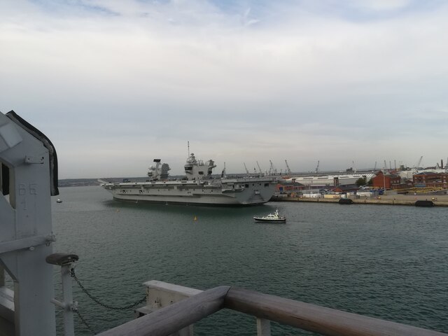
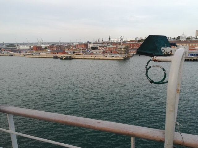
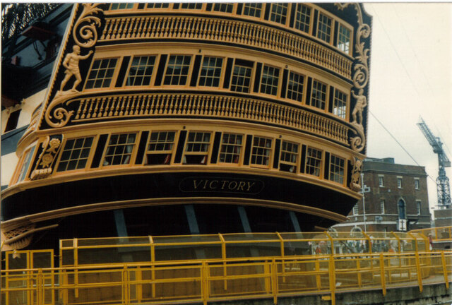
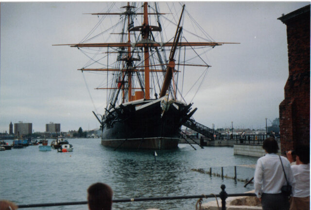
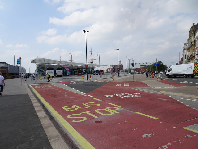
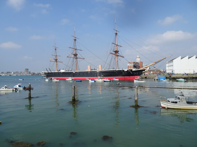
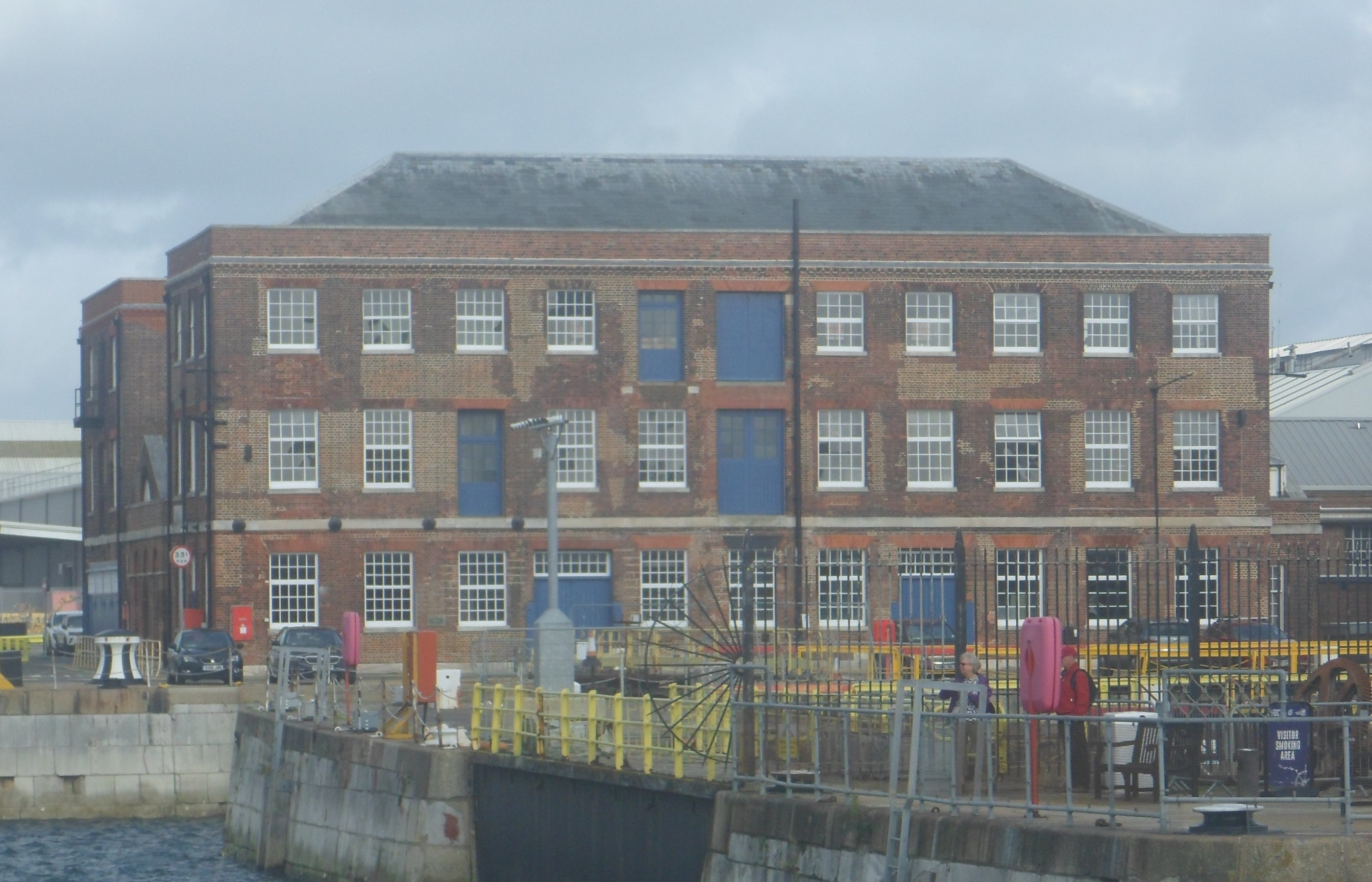
Basin No 1 Images
Images are sourced within 2km of 50.802645/-1.110258 or Grid Reference SU6200. Thanks to Geograph Open Source API. All images are credited.


Basin No 1 is located at Grid Ref: SU6200 (Lat: 50.802645, Lng: -1.110258)
Unitary Authority: Portsmouth
Police Authority: Hampshire
What 3 Words
///leap.loss.reply. Near Portsmouth, Hampshire
Nearby Locations
Related Wikis

HMS Victory
HMS Victory is a 104-gun first-rate ship of the line of the Royal Navy. She was ordered in 1758, laid down in 1759, and launched in 1765. With 245 years...

HMS M33
HMS M33 is an M29-class monitor of the Royal Navy built in 1915. She saw active service in the Mediterranean during the First World War and in Russia during...

Mary Rose Museum
The Mary Rose Museum is a historical museum located at Historic Dockyards in Portsmouth in the United Kingdom run by the Mary Rose Trust. == Overview... ==
Portsmouth Block Mills
The Portsmouth Block Mills form part of the Portsmouth Dockyard at Portsmouth, Hampshire, England, and were built during the Napoleonic Wars to supply...
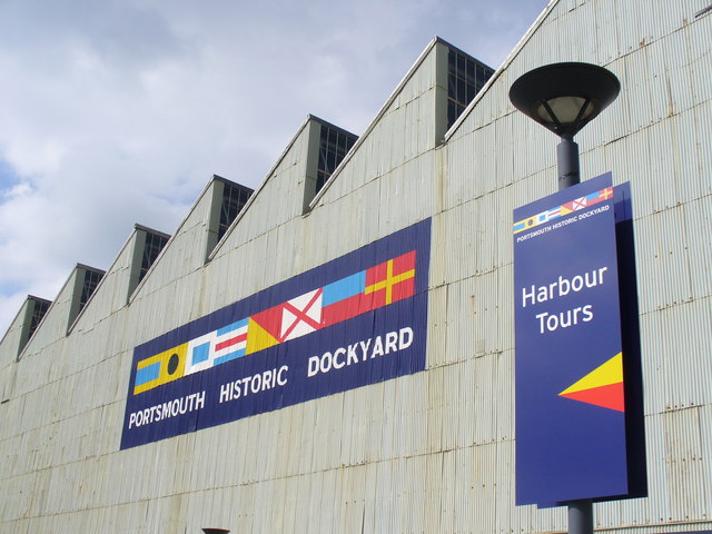
Portsmouth Historic Dockyard
Portsmouth Historic Dockyard is an area of HM Naval Base Portsmouth which is open to the public; it contains several historic buildings and ships. It is...

National Museum of the Royal Navy, Portsmouth
The National Museum of the Royal Navy, Portsmouth, formerly known as the Royal Naval Museum, is a museum of the history of the Royal Navy located in the...
School of Mathematics and Naval Construction
The Central School of Mathematics and Naval Construction was a short-lived shipbuilding college at Portsmouth Dockyard on the south coast of England. It...
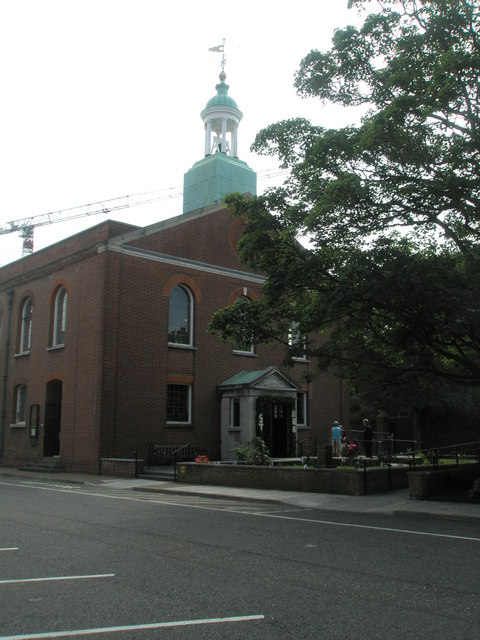
St Ann's Church, HMNB Portsmouth
St Ann's Church is an Anglican chapel within His Majesty's Naval Base Portsmouth. It is regarded as the spiritual home of the Royal Navy, and contains...
Nearby Amenities
Located within 500m of 50.802645,-1.110258Have you been to Basin No 1?
Leave your review of Basin No 1 below (or comments, questions and feedback).