Leyend Pond
Lake, Pool, Pond, Freshwater Marsh in Oxfordshire South Oxfordshire
England
Leyend Pond
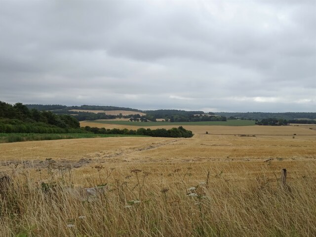
Leyend Pond, located in Oxfordshire, is a picturesque freshwater marsh that offers a serene and tranquil experience for nature enthusiasts. Spanning over a surface area of approximately 5 acres, it is considered a medium-sized body of water, resembling a small lake or large pond.
Surrounded by lush greenery, Leyend Pond is home to a diverse range of flora and fauna. The marshland vegetation consists of reeds, sedges, and water lilies, creating a vibrant and colorful landscape. This abundant growth attracts various species of birds, including ducks, geese, herons, and kingfishers, making it a popular spot for birdwatching.
The pond itself boasts crystal-clear water, which is a result of the constant flow from nearby streams and springs. This ensures a healthy ecosystem, supporting a variety of fish species such as perch, roach, and tench. Anglers often frequent Leyend Pond, drawn by the opportunity to catch these fish in a peaceful and idyllic setting.
For those seeking a leisurely stroll or a moment of reflection, there are well-maintained walking paths that encircle the pond. These paths offer panoramic views of the surrounding scenery and provide an opportunity to observe the wildlife up close.
Leyend Pond is easily accessible, with a car park located nearby and public transport links available. It is a popular destination for locals and visitors alike, offering a peaceful retreat from the bustling city life. Whether you are an avid birdwatcher, a passionate angler, or simply someone who appreciates the beauty of nature, Leyend Pond is a must-visit destination in Oxfordshire.
If you have any feedback on the listing, please let us know in the comments section below.
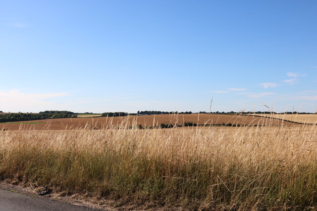
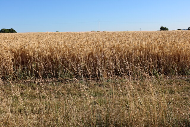
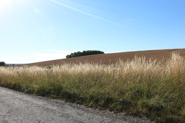
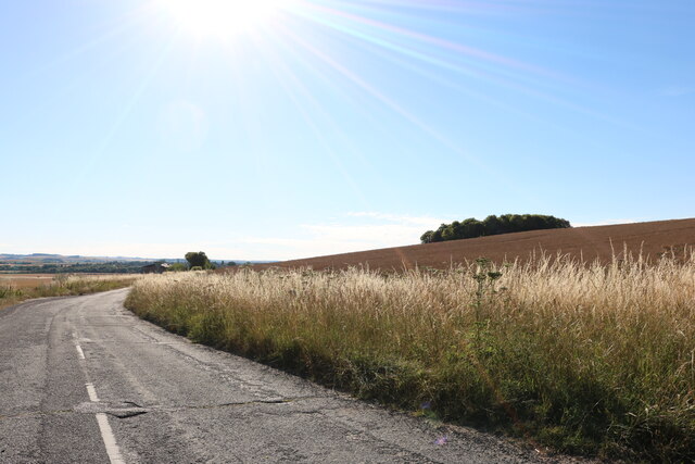
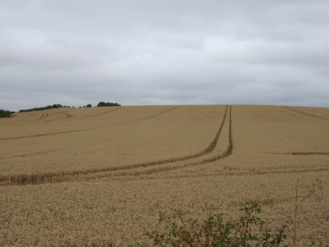
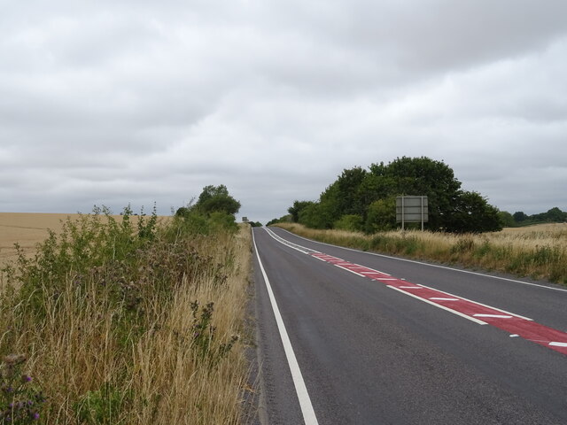
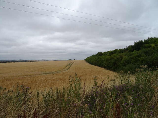
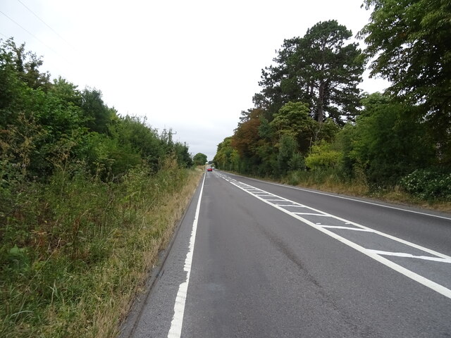
Leyend Pond Images
Images are sourced within 2km of 51.560851/-1.0965543 or Grid Reference SU6285. Thanks to Geograph Open Source API. All images are credited.

Leyend Pond is located at Grid Ref: SU6285 (Lat: 51.560851, Lng: -1.0965543)
Administrative County: Oxfordshire
District: South Oxfordshire
Police Authority: Thames Valley
What 3 Words
///slap.anyway.infringe. Near Cholsey, Oxfordshire
Nearby Locations
Related Wikis
Chiltern Park Aerodrome
Chiltern Park Aerodrome was a private airfield near Woodcote and Ipsden in Oxfordshire. It was within RAF Benson's Military Aerodrome Traffic Zone.The...

Ipsden
Ipsden is a village and civil parish in the Chiltern Hills in South Oxfordshire, about 3 miles (5 km) southeast of Wallingford. It is almost equidistant...

Braziers Park
Braziers Park is a Grade II* country house and estate on the edge of Ipsden - a small village near Wallingford, Oxfordshire, England - housing a secular...

Wood (festival)
Wood is an annual small early summer folk and roots music festival and environmental gathering, which takes place in Braziers Park, Ipsden near Wallingford...

North Stoke, Oxfordshire
North Stoke is a small village beside the River Thames in the civil parish of Crowmarsh, in the South Oxfordshire district, in the county of Oxfordshire...

Crowmarsh
Crowmarsh is a fairly large, mostly rural civil parish in the South Oxfordshire, district, in the county of Oxfordshire, England, east and southeast of...

Cholsey Marsh
Cholsey Marsh is a 19-hectare (47-acre) nature reserve near Cholsey in Oxfordshire, England. It is managed by the Berkshire, Buckinghamshire and Oxfordshire...

Warren Bank
Warren Bank is a 3.1-hectare (7.7-acre) biological Site of Special Scientific Interest south-east of Wallingford in Oxfordshire. It is managed by the Berkshire...
Nearby Amenities
Located within 500m of 51.560851,-1.0965543Have you been to Leyend Pond?
Leave your review of Leyend Pond below (or comments, questions and feedback).