The Lake

Lake, Pool, Pond, Freshwater Marsh in Oxfordshire South Oxfordshire

England

The Lake

Wallingford war memorial and the Town Hall The Town Hall was originally built in 1670. The tower (built in 1653) of St Mary's church is visible in the background.
Wallingford war memorial and the Town Hall Credit: Bikeboy

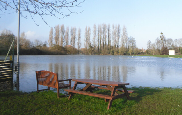
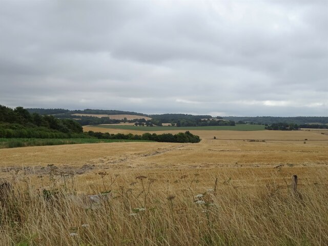
The Lake is a picturesque water body located in the county of Oxfordshire, England. It is a serene and tranquil setting, attracting visitors with its natural beauty and unique ecological features. Covering an area of approximately 10 acres, The Lake offers a diverse range of ecosystems, including a lake, pool, pond, and freshwater marsh.

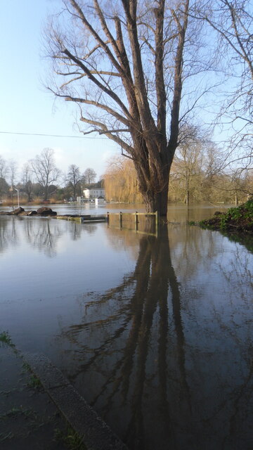
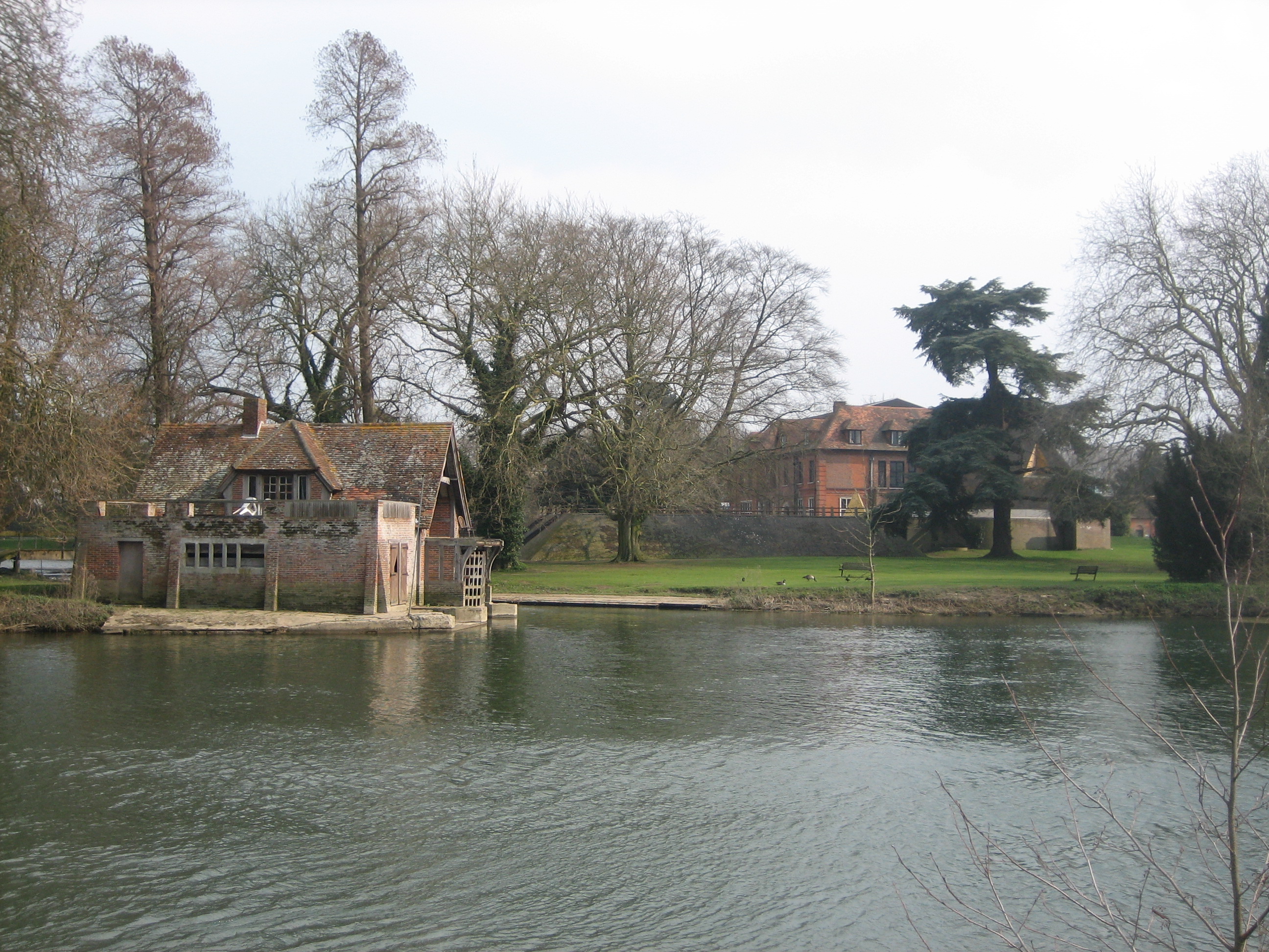
The main attraction of The Lake is the expansive freshwater lake itself. It is surrounded by lush greenery and tall trees, creating a stunning backdrop for nature enthusiasts and photographers alike. The lake is home to a variety of aquatic plants and organisms, making it an ideal habitat for waterfowl and other bird species. Visitors often spot ducks, swans, and geese gracefully gliding across the water's surface.

Adjacent to the lake, there is a smaller pool and pond, which further enhance the beauty of the area. These smaller water bodies are teeming with life, hosting a rich diversity of fish, insects, and amphibians. They provide a habitat for various species of turtles, newts, and frogs.

The Lake also boasts a flourishing freshwater marsh, adding to its ecological significance. The marsh is an important breeding ground for numerous wetland birds and supports a wide range of plant species. Visitors can observe the vibrant marshland from designated walking trails and wooden viewing platforms.

Overall, The Lake in Oxfordshire offers a tranquil escape from urban life and provides a haven for wildlife and nature enthusiasts. Its diverse ecosystems, including the lake, pool, pond, and freshwater marsh, make it an ideal destination for those seeking to immerse themselves in the beauty of the natural world.

If you have any feedback on the listing, please let us know in the comments section below.

The Lake Images

Images are sourced within 2km of 51.586839/-1.1181808 or Grid Reference SU6187. Thanks to Geograph Open Source API. All images are credited.

Wallingford war memorial and the Town Hall The Town Hall was originally built in 1670. The tower (built in 1653) of St Mary's church is visible in the background.
Wallingford war memorial and the Town Hall
The Town Hall was originally built in 1670. The tower (built in 1653) of St Mary's church is visible in the background.
Table by the Water Floodwater covers Crowmarsh recreation ground.
Table by the Water
Floodwater covers Crowmarsh recreation ground.
Across the Floodwater A view over the flooded riverside park taken from the eastern end of Wallingford Bridge. This area floods regularly but the long, many arched bridge crosses it all safely as it has for centuries.
Across the Floodwater
A view over the flooded riverside park taken from the eastern end of Wallingford Bridge. This area floods regularly but the long, many arched bridge crosses it all safely as it has for centuries.
Constructing the escalator The new escalator being constructed for the gravel pit at Cholsey
Constructing the escalator
The new escalator being constructed for the gravel pit at Cholsey
A4130 at Winterbrook roundabout
A4130 Nosworthy Way
A4130 Nosworthy Way
A4130 at Crowmarsh Hill
The Murren at twilight
Post box by The Nags Head
Looking north-northeast along Reading Road
Empty Charging points These new charging points for electric cars have only just been installed in the Cattle Market car park in Wallingford. They obviously see a need and are making an effort. Twelve bays replace the original four that were nearby.
Empty Charging points
These new charging points for electric cars have only just been installed in the Cattle Market car park in Wallingford. They obviously see a need and are making an effort. Twelve bays replace the original four that were nearby.
Fingerpost on Wallingford Road, North Stoke
Wallingford Road, North Stoke
Old Doorway outside Waitrose This is in the middle of the Waitrose car park. Almost certainly a listed structure, like much of central Wallingford, it would have had to have been left when the new parking area was laid out.
I don't know what it belonged to originally, but there are various stone doorways and windows around the town, thought to have been taken from the town's demolished castle when the stonework was sold off for building after the civil war.
Old Doorway outside Waitrose
This is in the middle of the Waitrose car park. Almost certainly a listed structure, like much of central Wallingford, it would have had to have been left when the new parking area was laid out. I don't know what it belonged to originally, but there are various stone doorways and windows around the town, thought to have been taken from the town's demolished castle when the stonework was sold off for building after the civil war.
Reading Road entering Wallingford
Crowmarsh Hill, Crowmarsh Gifford A previous visit. <a title="https://www.geograph.org.uk/photo/6315370" href="https://www.geograph.org.uk/photo/6315370">Link</a>
Crowmarsh Hill, Crowmarsh Gifford
A previous visit. Link
Stubble field near Black Barn Farm Off the A4074.
Stubble field near Black Barn Farm
Off the A4074.
Port Way (A4074) Towards Oxford.
Port Way (A4074)
Towards Oxford.
Show me another place!

The Lake is located at Grid Ref: SU6187 (Lat: 51.586839, Lng: -1.1181808)

Administrative County: Oxfordshire

District: South Oxfordshire

Police Authority: Thames Valley

What 3 Words

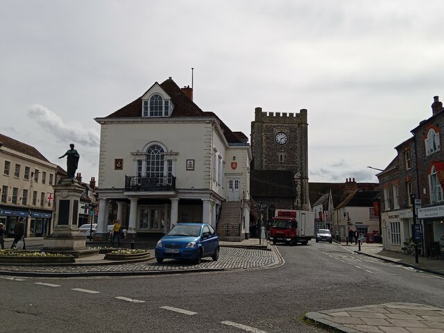
///props.sharpness.clip. Near Wallingford, Oxfordshire

Related Wikis

Mongewell

Mongewell (first syllable rhymes with sponge) is a village in the civil parish of Crowmarsh, about 1 mile (1.6 km) south of Wallingford in Oxfordshire...

Carmel College, Oxfordshire

Carmel College was founded in 1948 as a British, Jewish boarding school for boys, modelled on British public schools. In later years it was, to some extent...

St John the Baptist's Church, Mongewell

St John the Baptist's Church is a closed, redundant Anglican church, partly in ruins, in what has thus reverted to the hamlet of Mongewell, Oxfordshire...
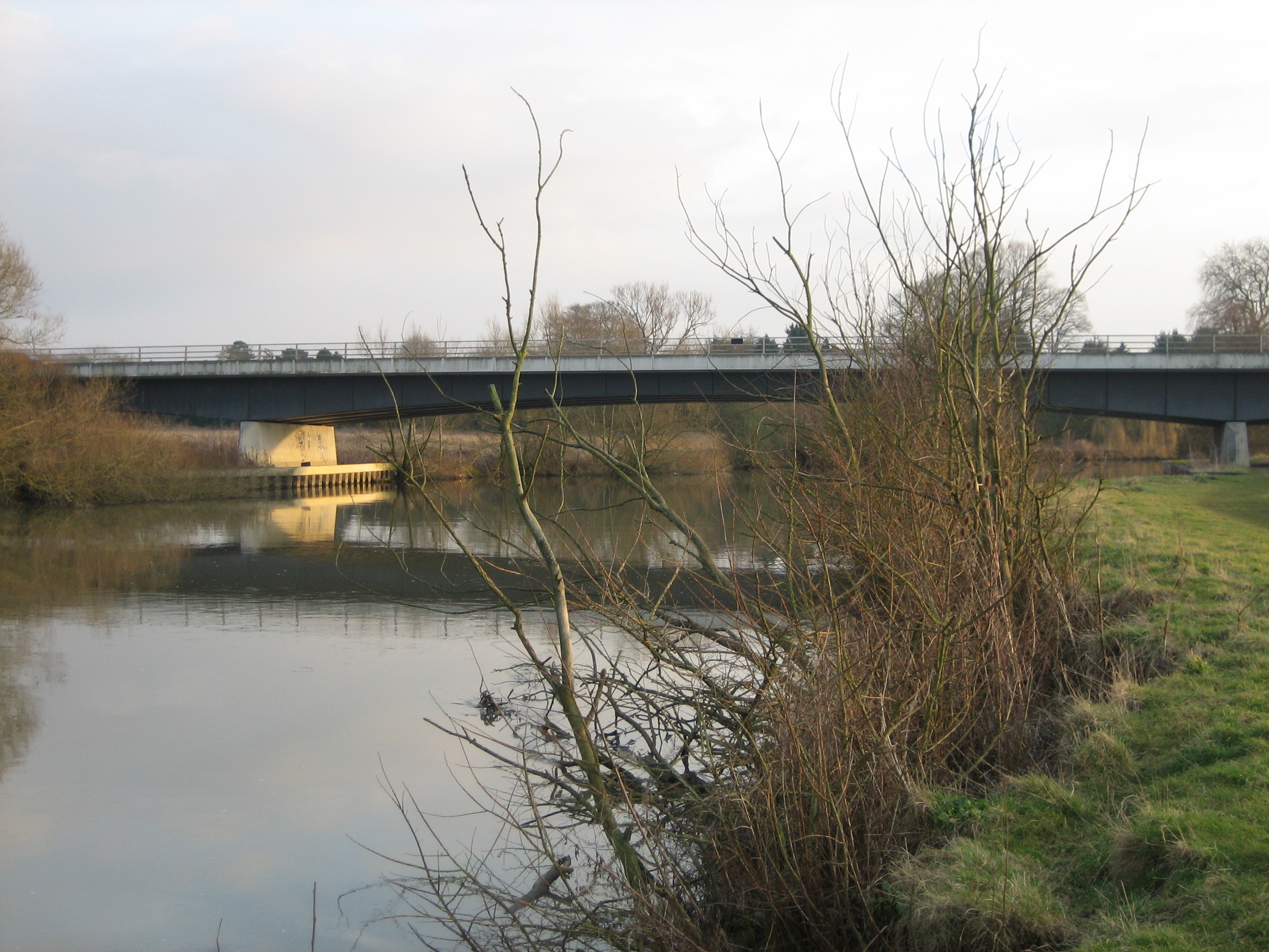
Winterbrook Bridge

Winterbrook Bridge, also known as Wallingford By-pass Bridge, was built in 1993 as part of a by-pass around Wallingford, Oxfordshire, relieving the single...

Nearby Amenities

Located within 500m of 51.586839,-1.1181808
Carmel College
Disused Amenity: school
Lat/Long: 51.5867855/-1.1177644
Bus Stop
CABI Publishing
Bus: yes
Naptan AtcoCode: 340004134EAS
Naptan Bearing: E
Naptan CommonName: CABI Publishing
Naptan Indicator: Outside
Naptan Landmark: Agricultural Institute
Naptan NaptanCode: oxfgmwpt
Naptan Street: Nosworthy Way
Naptan Verified: no
Public Transport: platform
Source: naptan_import
Lat/Long: 51.5889052/-1.1177023
Bus Stop
CABI Publishing
Bus: yes
Naptan AtcoCode: 340004134WES
Naptan Bearing: W
Naptan CommonName: CABI Publishing
Naptan Indicator: Opp
Naptan Landmark: Agricultural Institute
Naptan NaptanCode: oxfgmwpw
Naptan Street: Nosworthy Way
Naptan Verified: no
Public Transport: platform
Source: naptan_import
Lat/Long: 51.5887066/-1.1175907
Bus Stop
Mongewell Turn
Bench: no
Bin: no
Lit: no
Naptan AtcoCode: 340004135NOR
Naptan Bearing: N
Naptan CommonName: Mongewell Turn
Naptan Crossing: Constitution Hill
Naptan Indicator: Corner
Naptan Landmark: Constitution Hill
Naptan NaptanCode: oxfgmwtd
Naptan Street: A4074 Port Way
Naptan Verified: no
Shelter: no
Source: naptan_import
Tactile Paving: no
Lat/Long: 51.5862244/-1.1113996
Bus Stop
Mongewell Turn
Naptan AtcoCode: 340004135SOU
Naptan Bearing: S
Naptan CommonName: Mongewell Turn
Naptan Crossing: Constitution Hill
Naptan Indicator: Opp
Naptan Landmark: Constitution Hill
Naptan NaptanCode: oxfgmwta
Naptan Street: A4074 Port Way
Naptan Verified: no
Source: naptan_import
Lat/Long: 51.5864364/-1.111067
Mongewell
Place: hamlet
Wikidata: Q6899495
Wikipedia: en:Mongewell
Lat/Long: 51.5867196/-1.1207411
Barrier: kissing_gate
Lat/Long: 51.5886091/-1.1180402
Barrier: stile
Foot: yes
Lat/Long: 51.5878428/-1.1119819
Historic: monument
Lat/Long: 51.5879548/-1.1227183
Mounting Block
Lat/Long: 51.5884219/-1.1206087
Mounting Block
Lat/Long: 51.5889184/-1.1205949
St John the Baptist
Disused Amenity: place_of_worship
Historic: ruins
Religion: christian
Wikidata: Q2323953
Wikipedia: en:St John the Baptist's Church, Mongewell
Lat/Long: 51.5860877/-1.1232179
Carmel College
Disused Amenity: college
Wikidata: Q5043271
Wikipedia: en:Carmel College, Oxfordshire
Lat/Long: 51.5848976/-1.122909
Fixme: solar panels?
Lat/Long: 51.5898568/-1.1171112
The data included in this document is from www.openstreetmap.org. The data is made available under ODbL.

Have you been to The Lake?

Leave your review of The Lake below (or comments, questions and feedback).