Fulford Bight
Lake, Pool, Pond, Freshwater Marsh in Yorkshire
England
Fulford Bight

Fulford Bight is a picturesque freshwater marsh located in the county of Yorkshire, England. Situated in the village of Fulford, just a few miles south of the city of York, this tranquil oasis offers a serene escape from the hustle and bustle of urban life.
Spanning over an area of approximately 10 acres, Fulford Bight is characterized by its calm, still waters, which give the impression of a pristine lake or pond. Surrounded by lush vegetation, including reeds and water lilies, the bight is home to a diverse range of plant and animal species.
The freshwater marsh provides a vital habitat for various aquatic creatures, such as frogs, newts, and water insects. Birdwatchers also flock to Fulford Bight to observe a plethora of bird species, including ducks, swans, herons, and occasionally even kingfishers.
Visitors to Fulford Bight can explore the area via a series of well-maintained footpaths that wind through the marshland. These paths offer excellent vantage points for observing the local wildlife and taking in the breathtaking natural beauty of the surroundings.
The bight is a popular spot for recreational activities such as fishing, picnicking, and nature photography. Anglers can try their luck at catching freshwater fish, while families can enjoy a peaceful picnic while admiring the tranquil scenery.
Overall, Fulford Bight is a hidden gem in Yorkshire, offering a unique blend of natural beauty and wildlife diversity. Whether you are an avid nature lover or simply seeking a peaceful retreat, this freshwater marsh is sure to captivate and inspire.
If you have any feedback on the listing, please let us know in the comments section below.
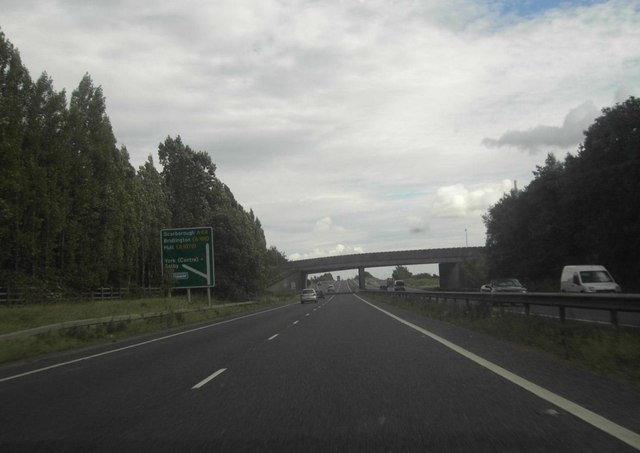
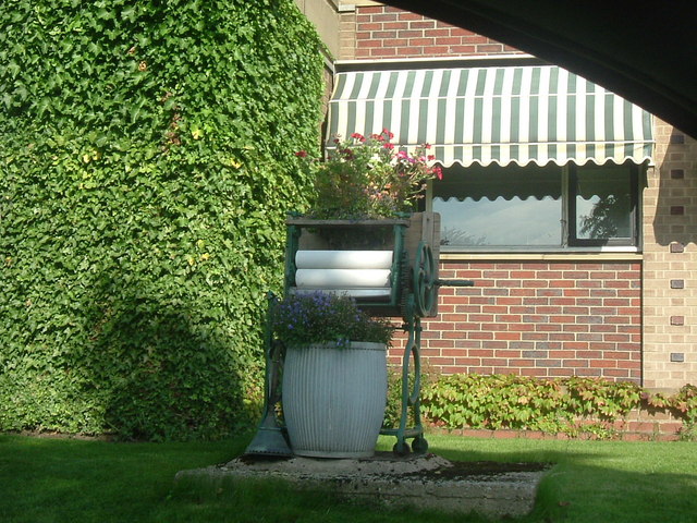
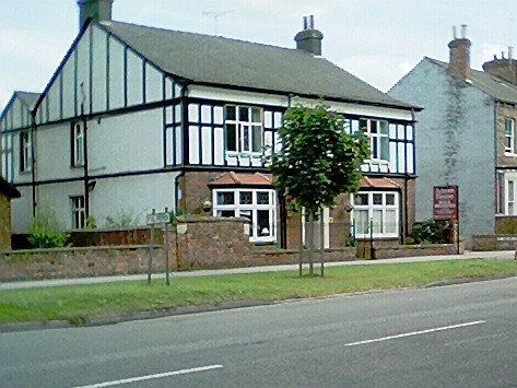
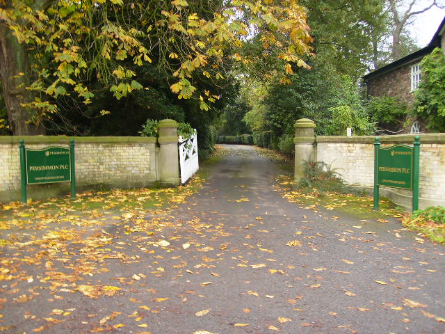
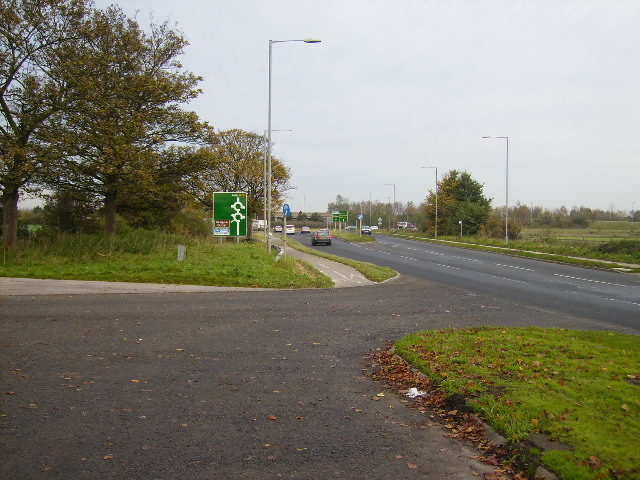
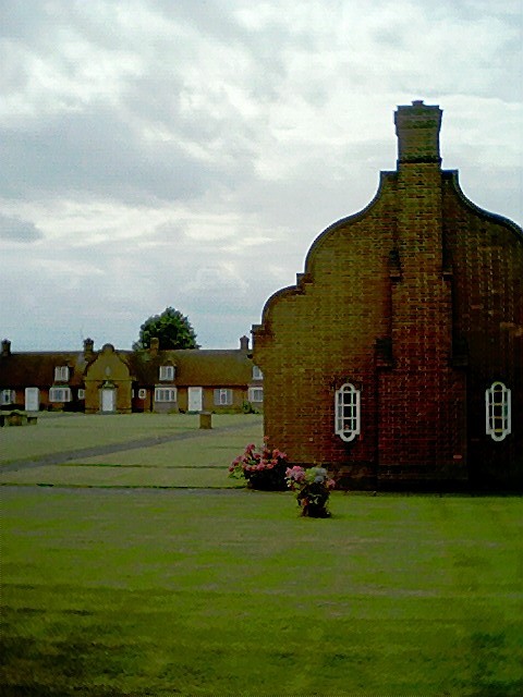
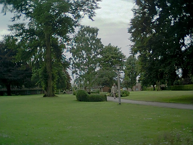
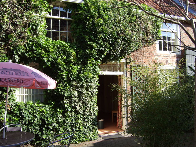
Fulford Bight Images
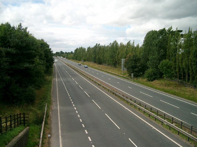
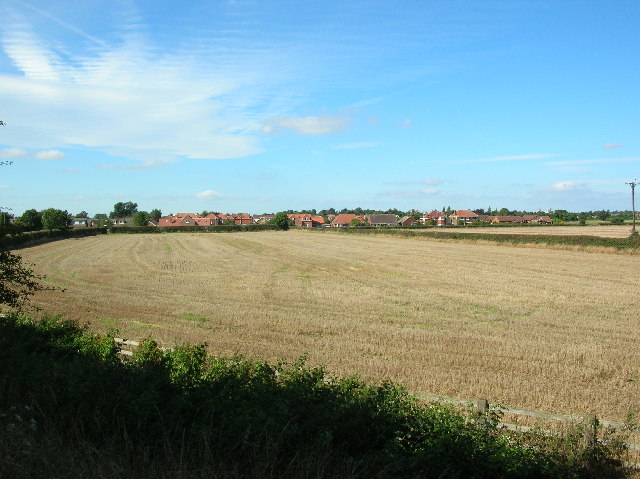
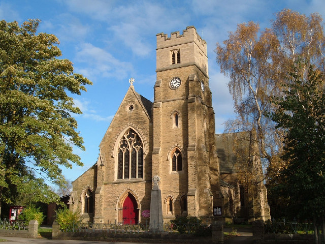
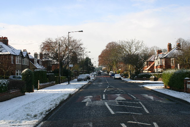
Images are sourced within 2km of 53.929439/-1.0759204 or Grid Reference SE6048. Thanks to Geograph Open Source API. All images are credited.


Fulford Bight is located at Grid Ref: SE6048 (Lat: 53.929439, Lng: -1.0759204)
Division: East Riding
Unitary Authority: York
Police Authority: North Yorkshire
What 3 Words
///most.behave.pushes. Near Fulford, East Yorkshire
Nearby Locations
Related Wikis
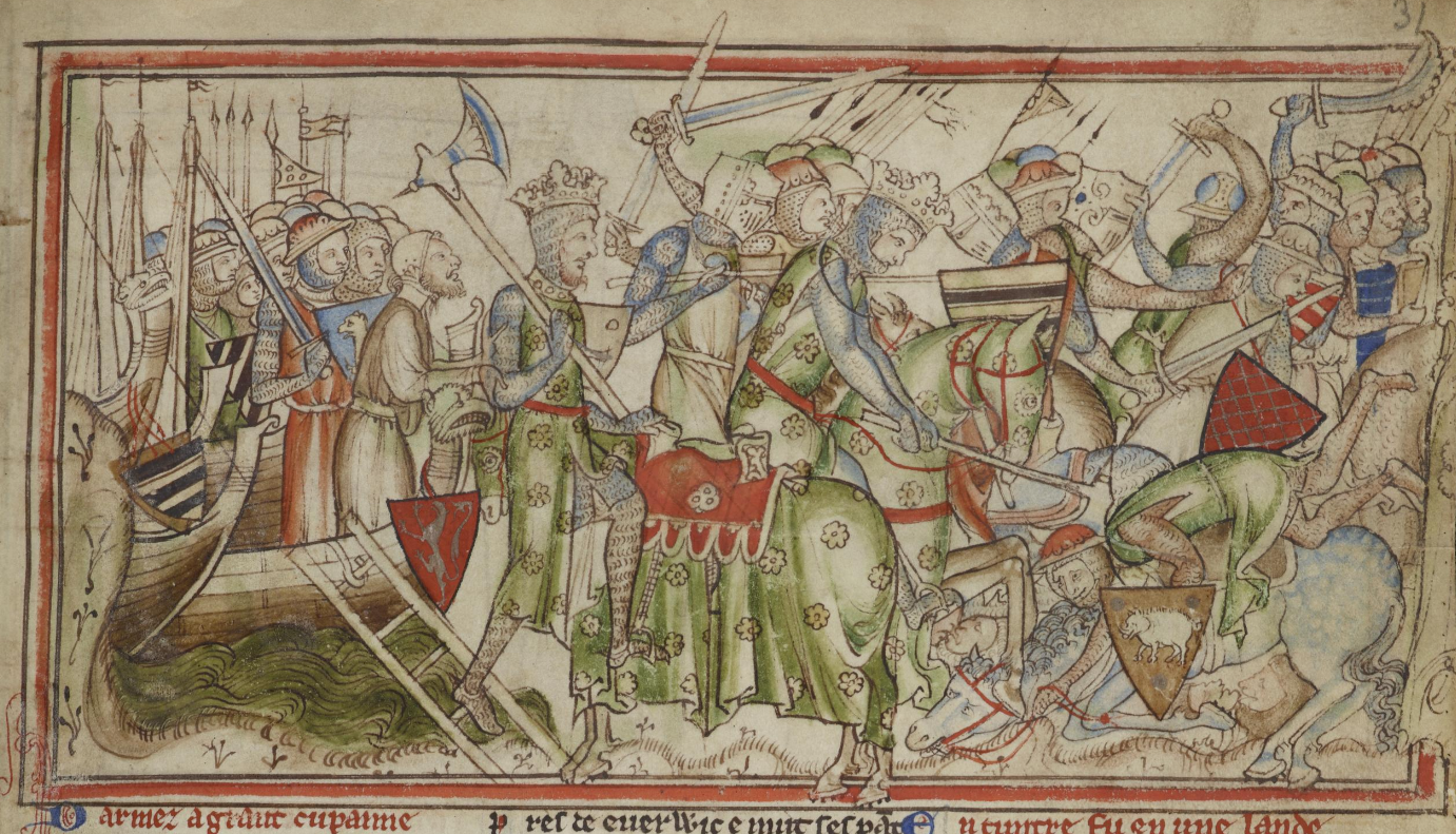
Battle of Fulford
The Battle of Fulford was fought on the outskirts of the village of Fulford just south of York in England, on 20 September 1066, when King Harald III of...

Middlethorpe, North Yorkshire
Middlethorpe is a hamlet in the civil parish of Bishopthorpe, in the unitary authority area of City of York, in North Yorkshire, England. The village was...
Middlethorpe Hall
Middlethorpe Hall is a 17th-century English country house standing in 20 acres (8 ha) of grounds in Middlethorpe, York, North Yorkshire. It is a perfectly...

Fulford School
Fulford School is a coeducational comprehensive school on Fulfordgate near Heslington Lane in Fulford, York, England. == History == Fulford School was...
Nearby Amenities
Located within 500m of 53.929439,-1.0759204Have you been to Fulford Bight?
Leave your review of Fulford Bight below (or comments, questions and feedback).