Kettlewell Ings Reach

Lake, Pool, Pond, Freshwater Marsh in Yorkshire

England

Kettlewell Ings Reach

Mc Arthur Glen Designer Outlet shopping Centre, Looking Southwest from near Roundabout.
Mc Arthur Glen Credit: Paul Allison

Kettlewell Ings Reach is a picturesque freshwater marsh located in Yorkshire, England. Spanning an area of approximately 50 acres, it is a diverse wetland habitat that consists of a lake, pool, pond, and marsh.

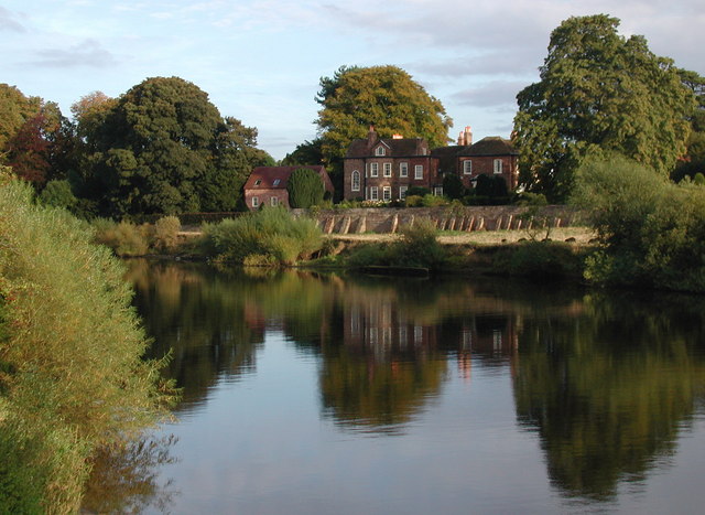
The lake at Kettlewell Ings Reach is a significant feature of the area, covering a substantial portion of the wetland. It is a tranquil and serene body of water, surrounded by lush vegetation and reed beds. The lake attracts a wide variety of bird species, making it a popular spot for birdwatching enthusiasts.

Adjacent to the lake is a smaller pool, which serves as a breeding ground for numerous amphibians and insects. This pool provides a vital habitat for species such as frogs, toads, dragonflies, and damselflies.

The pond at Kettlewell Ings Reach is relatively smaller in size but equally important in terms of biodiversity. It supports a rich array of aquatic plant life, including water lilies and various submerged vegetation. Small fish, such as minnows and sticklebacks, can also be found in the pond.

The freshwater marsh is a defining characteristic of Kettlewell Ings Reach. It is a wetland area dominated by grasses, sedges, and rushes. This marshland provides a crucial habitat for a range of bird species, including marsh harriers, bitterns, and various waterfowl. Additionally, the marsh is home to a diverse community of invertebrates, including beetles, snails, and water bugs.

Overall, Kettlewell Ings Reach is a thriving wetland ecosystem, offering a haven for both wildlife and nature enthusiasts. Its combination of lake, pool, pond, and freshwater marsh provides a diverse range of habitats, contributing to the incredible biodiversity of the area.

If you have any feedback on the listing, please let us know in the comments section below.

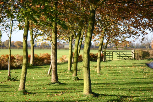
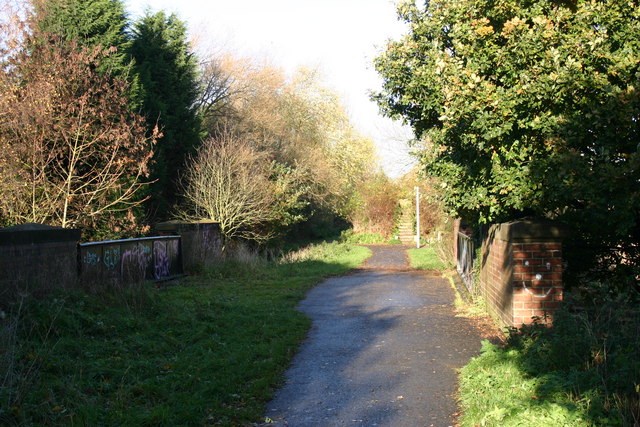
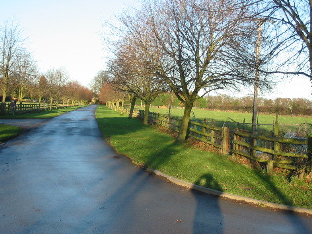
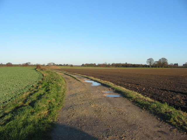
Kettlewell Ings Reach Images

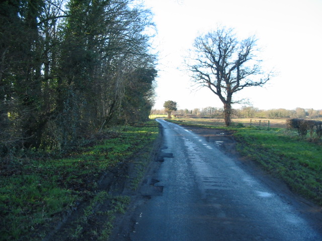
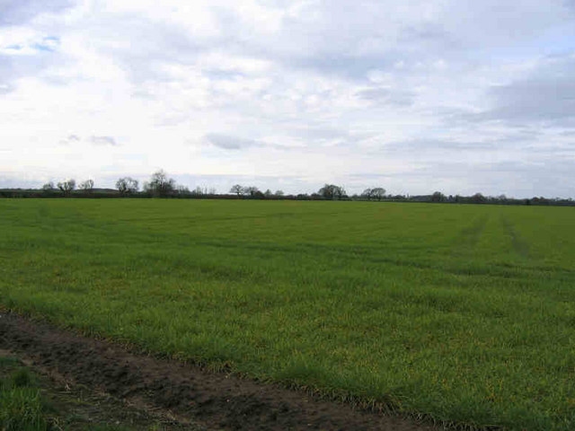
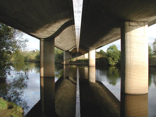
Images are sourced within 2km of 53.91265/-1.0888507 or Grid Reference SE5946. Thanks to Geograph Open Source API. All images are credited.

Mc Arthur Glen Designer Outlet shopping Centre, Looking Southwest from near Roundabout.
Mc Arthur Glen
Designer Outlet shopping Centre, Looking Southwest from near Roundabout.
A64 The A64 looking west from the B1222 bridge.
A64
The A64 looking west from the B1222 bridge.
B1222 Bridge over A64 View of the B1222 Bridge over the A64 just before the A19 Junction. The other picture for this square was taken from the bridge.
B1222 Bridge over A64
View of the B1222 Bridge over the A64 just before the A19 Junction. The other picture for this square was taken from the bridge.
Driveway entrance to the HQ of Persimmon PLC
Approaching the A64 roundabout at Fulford on the A19
Roadside and farmland between Crockey Hill and Naburn
York to Selby railway path
Track to Providence House
Farm track to Ash Villa
Moor Lane running alongside Sandhole Plantation
In The Flat Field I think the church steeple on the horizon is in Naburn.
In The Flat Field
I think the church steeple on the horizon is in Naburn.
Bishopthorpe Bridge The A64 road bridge crossing the River Ouse between Middlethorpe and Fulford, south of York. Built in 1976, like many modern bridges it is actually two almost identical bridges built side by side, so that should part of it need major repairs in the future, half of the dual carriageway can be kept open to traffic.
Bishopthorpe Bridge
The A64 road bridge crossing the River Ouse between Middlethorpe and Fulford, south of York. Built in 1976, like many modern bridges it is actually two almost identical bridges built side by side, so that should part of it need major repairs in the future, half of the dual carriageway can be kept open to traffic.
Fulford Hall Looking east-southeast across the River Ouse towards Fulford Hall, from the Ebor Way recreational route at Middlethorpe Ings. The Parish of Fulford on the southern outskirts of York is perhaps best known as the battlefield of 1066 where the invading armies of Earl Tostig and Harold Hardrada first defeated the English before going on to their own defeat at Stamford Bridge.
Fulford Hall
Looking east-southeast across the River Ouse towards Fulford Hall, from the Ebor Way recreational route at Middlethorpe Ings. The Parish of Fulford on the southern outskirts of York is perhaps best known as the battlefield of 1066 where the invading armies of Earl Tostig and Harold Hardrada first defeated the English before going on to their own defeat at Stamford Bridge.
Naburn Lane
Naburn Lane
Howden Lane Taken from the Howden Lane bridge.
Howden Lane
Taken from the Howden Lane bridge.
Car parking in The Navy Zone At the Designer Outlet York.
Car parking in The Navy Zone
At the Designer Outlet York.
A64 Looking east from the B1224 bridge.
A64
Looking east from the B1224 bridge.
Cassini flying past Saturn This model of the Cassini-Huygens probe has been installed a short distance from Saturn along the York to Selby cycle route (Sustrans 65).
Cassini flying past Saturn
This model of the Cassini-Huygens probe has been installed a short distance from Saturn along the York to Selby cycle route (Sustrans 65).
Show me another place!

Kettlewell Ings Reach is located at Grid Ref: SE5946 (Lat: 53.91265, Lng: -1.0888507)

Division: East Riding

Unitary Authority: York

Police Authority: North Yorkshire

What 3 Words

///seemingly.tangling.pipes. Near Bishopthorpe, North Yorkshire

Nearby Locations

Kettlewell Ings Reach

Related Wikis

Naburn railway station

Naburn railway station was a railway station which served the village of Naburn, south of York, on the East Coast Main Line. It closed to passengers in...

Naburn Hospital

Naburn Hospital was a mental health facility in Naburn, North Yorkshire, England. == History == Acres House, a property dating back to 1774, and its associated...

Holy Trinity Church, Acaster Malbis

Holy Trinity Church is an active Anglican church in Acaster Malbis, a village in the City of York, in England. It is a grade I listed building. A church...

Bishopthorpe

Bishopthorpe is a village and civil parish three miles south of York in the City of York unitary authority area and ceremonial county of North Yorkshire...

Nearby Amenities

Located within 500m of 53.91265,-1.0888507
Saturn
Artist Name: York University
Artwork Type: sculpture
Tourism: artwork
Lat/Long: 53.9084995/-1.0878613
Post Box
Collection Times: Mo-Fr 09:00, Sa 07:00
Operator: Royal Mail
Post Box Type: lamp
Ref: YO23 543
Royal Cypher: EIIR
Royal Cypher Wikidata: Q33102113
Lat/Long: 53.9144527/-1.0951674
Turning Circle
Lat/Long: 53.9140832/-1.0949595
Fisher of Dreams
Artist Name: Pete Rogers
Artwork Type: statue
Material: steel
Start Date: 2001
Tourism: artwork
Website: https://www.york.ac.uk/solar/html/fisher.html
Wikidata: Q116913349
Lat/Long: 53.9110427/-1.0912016
Barrier: stile
Foot: yes
Lat/Long: 53.910281/-1.092563
Barrier: stile
Foot: yes
Lat/Long: 53.9110882/-1.0939935
Maxheight: 13'9"
Lat/Long: 53.9083709/-1.0876238
Barrier: stile
Lat/Long: 53.9089253/-1.0927792
Bench
Lat/Long: 53.9114932/-1.0918842
Cassini-Huygens
Artist Name: York University
Artwork Type: sculpture
Tourism: artwork
Lat/Long: 53.9083327/-1.0875391
Barrier: cycle_barrier
Lat/Long: 53.9084414/-1.0874991
Information: guidepost
Tourism: information
Lat/Long: 53.9111136/-1.0939978
Power: substation
Lat/Long: 53.9146974/-1.0946668
Turning Circle
Lat/Long: 53.9144098/-1.0955915
Barrier: stile
Foot: yes
Lat/Long: 53.9111093/-1.0917644
Information: guidepost
Tourism: information
Lat/Long: 53.9125352/-1.0932915
Information: guidepost
Inscription: York 6.5;Selby 11
Tourism: information
Lat/Long: 53.9122208/-1.0930622
Information: guidepost
Tourism: information
Lat/Long: 53.9093589/-1.088911
Information: guidepost
Tourism: information
Lat/Long: 53.9124001/-1.0933747
Bench
Backrest: no
Lat/Long: 53.9140139/-1.0956935
Generator Method: photovoltaic
Generator Output Electricity: yes
Generator Source: solar
Generator Type: solar_photovoltaic_panel
Location: roof
Power: generator
Lat/Long: 53.9142337/-1.0955778
Generator Method: photovoltaic
Generator Output Electricity: yes
Generator Source: solar
Generator Type: solar_photovoltaic_panel
Location: roof
Power: generator
Lat/Long: 53.9145828/-1.0956717
Generator Method: photovoltaic
Generator Output Electricity: yes
Generator Source: solar
Generator Type: solar_photovoltaic_panel
Location: roof
Power: generator
Lat/Long: 53.9144612/-1.0932282
Generator Method: photovoltaic
Generator Output Electricity: yes
Generator Source: solar
Generator Type: solar_photovoltaic_panel
Location: roof
Power: generator
Lat/Long: 53.9145007/-1.0931316
Generator Method: photovoltaic
Generator Output Electricity: yes
Generator Source: solar
Generator Type: solar_photovoltaic_panel
Location: roof
Power: generator
Lat/Long: 53.914665/-1.0938585
Generator Method: photovoltaic
Generator Output Electricity: yes
Generator Source: solar
Generator Type: solar_photovoltaic_panel
Location: roof
Power: generator
Lat/Long: 53.9146571/-1.0938129
Generator Method: photovoltaic
Generator Output Electricity: yes
Generator Source: solar
Generator Type: solar_photovoltaic_panel
Location: roof
Power: generator
Lat/Long: 53.9151847/-1.0941562
Generator Method: photovoltaic
Generator Output Electricity: yes
Generator Source: solar
Generator Type: solar_photovoltaic_panel
Location: roof
Power: generator
Lat/Long: 53.9155481/-1.0945612
Generator Method: photovoltaic
Generator Output Electricity: yes
Generator Source: solar
Generator Type: solar_photovoltaic_panel
Location: roof
Power: generator
Lat/Long: 53.9155449/-1.0945183
Bench
Backrest: yes
Inscription: This seat is dedicated to the loyal staff of Paul Seward & Co Ltd agricultural engineers who occupied the Canons Court site from 1962 to 1992
Material: steel
Lat/Long: 53.9139635/-1.0936023
Information: guidepost
Tourism: information
Lat/Long: 53.9084607/-1.0874258
Bench
Backrest: no
Lat/Long: 53.9096548/-1.0893168
Bus Stop
Acaster Lane
Website: http://deps.at/?32900605
Lat/Long: 53.9157921/-1.0929827
Bus Stop
Keble Park South
Bus: yes
Public Transport: platform
Lat/Long: 53.9147333/-1.0955969
The data included in this document is from www.openstreetmap.org. The data is made available under ODbL.

Have you been to Kettlewell Ings Reach?

Leave your review of Kettlewell Ings Reach below (or comments, questions and feedback).