Mill Dam
Lake, Pool, Pond, Freshwater Marsh in Yorkshire
England
Mill Dam
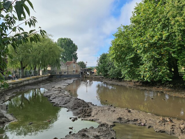
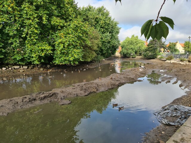
Mill Dam is a picturesque freshwater marsh located in the village of Cottingham, Yorkshire. This tranquil oasis is nestled amidst the rolling countryside and is a popular spot for both locals and tourists seeking a peaceful escape from the hustle and bustle of city life.
Covering an area of approximately 5 acres, Mill Dam is a natural lake formed by an ancient mill dam that once powered a nearby mill. The lake is fed by a small stream that meanders through the marsh, adding to its charm and providing a constant supply of freshwater.
The marsh is surrounded by lush vegetation, including reed beds, water lilies, and various species of grasses. This rich plant life provides a habitat for a diverse range of wildlife, making Mill Dam a haven for birdwatchers and nature enthusiasts. Visitors can spot a wide variety of bird species, such as herons, swans, ducks, and geese, as well as smaller creatures like frogs and dragonflies.
The lake itself is popular with anglers, who come to try their luck at catching carp, bream, and roach. Fishing platforms are available for anglers to set up their equipment and enjoy a peaceful day by the water.
Mill Dam is also a favorite spot for leisurely walks and picnics. A footpath encircles the lake, allowing visitors to take in the beautiful views and observe the wildlife at their own pace. The calm and serene atmosphere of Mill Dam makes it an ideal location for relaxation and reconnecting with nature.
If you have any feedback on the listing, please let us know in the comments section below.
Mill Dam Images
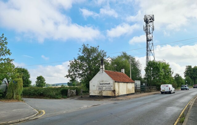
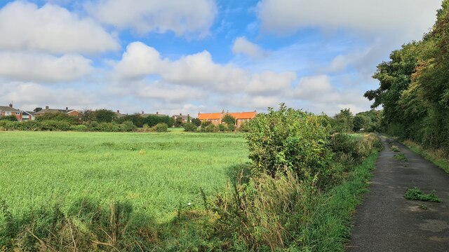
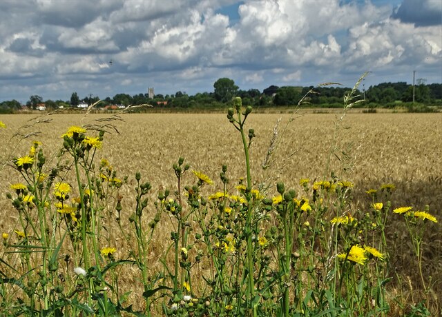
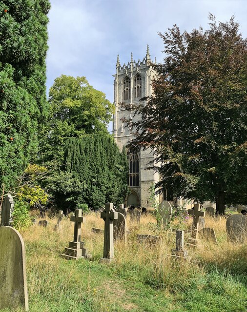
Images are sourced within 2km of 53.428926/-1.1104078 or Grid Reference SK5992. Thanks to Geograph Open Source API. All images are credited.


Mill Dam is located at Grid Ref: SK5992 (Lat: 53.428926, Lng: -1.1104078)
Division: West Riding
Unitary Authority: Doncaster
Police Authority: South Yorkshire
What 3 Words
///reforming.tempting.scrubber. Near Tickhill, South Yorkshire
Nearby Locations
Related Wikis
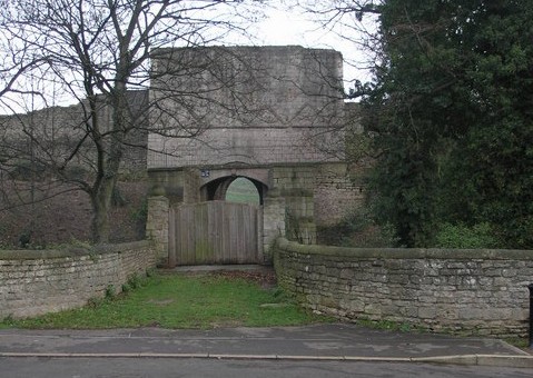
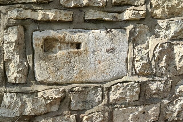
Tickhill Castle
Tickhill Castle was a castle in Tickhill, in South Yorkshire, England and a prominent stronghold during the reign of King John. == Early history == The...
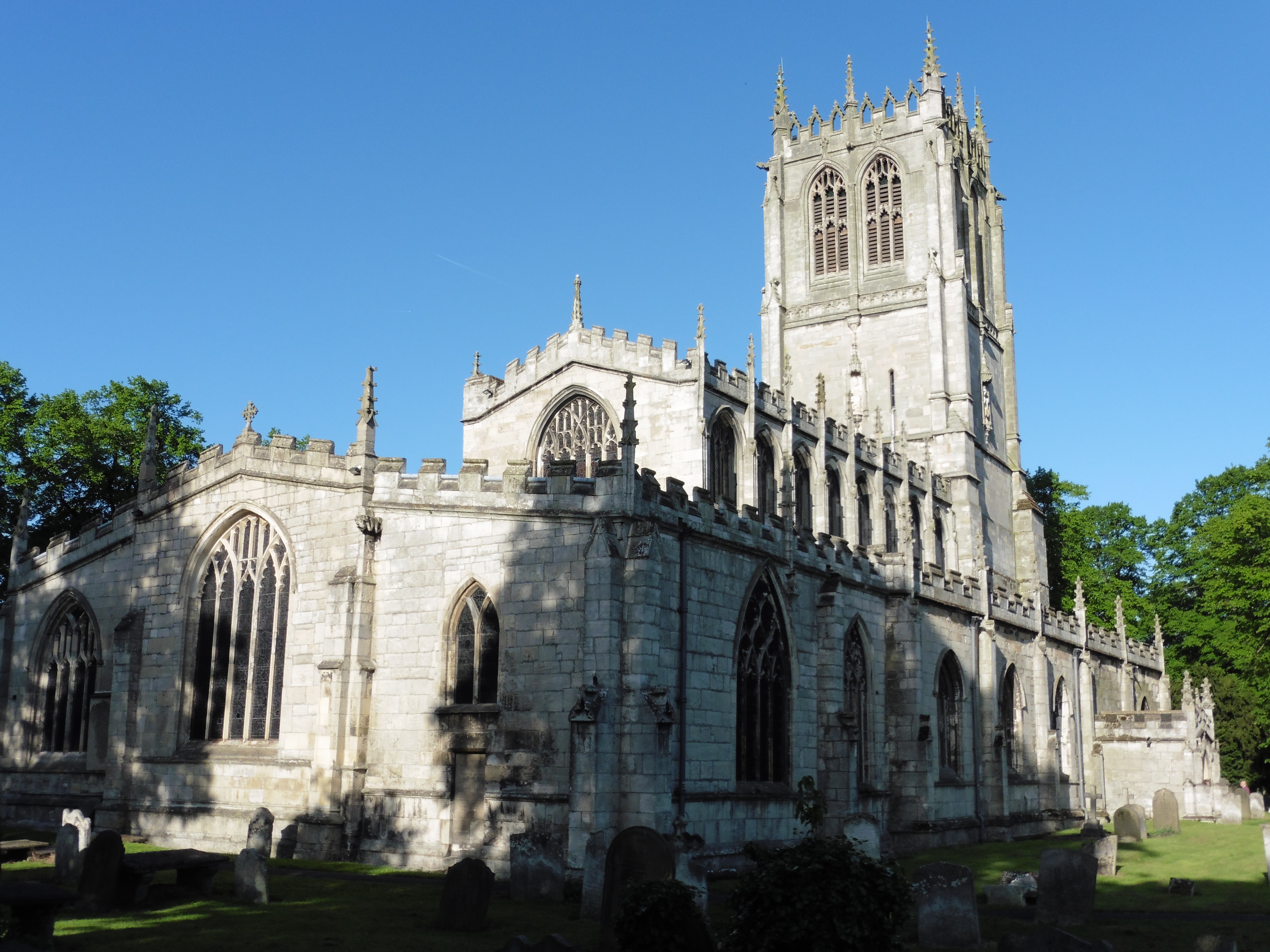
St Mary's Church, Tickhill
St Mary's Church is a Grade I listed Anglican church in Tickhill, South Yorkshire, England. Dating from the early 12th century and built with local Magnesian...
Tickhill
Tickhill is a market town and civil parish in the City of Doncaster, South Yorkshire, England, close to the border with Nottinghamshire. At the 2001 census...

Strafforth and Tickhill
Strafforth and Tickhill , originally known as Strafforth, was the southernmost wapentake in the West Riding of Yorkshire, England. The west of the district...
Nearby Amenities
Located within 500m of 53.428926,-1.1104078Have you been to Mill Dam?
Leave your review of Mill Dam below (or comments, questions and feedback).