Naburn Reach

Lake, Pool, Pond, Freshwater Marsh in Yorkshire

England

Naburn Reach

York to Selby railway path
York to Selby railway path Credit: Iain Macaulay

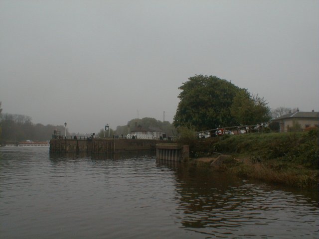
Naburn Reach is a picturesque freshwater marsh located in Yorkshire, England. Situated near the village of Naburn, this stretch of water is often referred to as a lake, pool, or pond due to its tranquil and serene nature. Covering an area of approximately 10 hectares, it serves as a haven for various species of flora and fauna.

The water in Naburn Reach is predominantly sourced from rainfall and underground springs, resulting in a clean and clear aquatic environment. The marsh is home to an array of aquatic plants, such as water lilies, reeds, and marsh marigolds, which thrive in the nutrient-rich soil. These plants provide shelter and food for a diverse range of animals, including frogs, newts, and various aquatic insects.

The surrounding area of Naburn Reach is characterized by lush greenery and an abundance of wildlife. Visitors to the marsh can often spot a variety of bird species, including herons, ducks, and geese, which use the water as a feeding and resting ground during their migratory journeys. The marsh also attracts birdwatchers and nature enthusiasts who appreciate the tranquility and beauty of this natural habitat.

Naburn Reach offers opportunities for recreational activities, such as fishing and boating. Anglers can try their luck at catching species such as perch, pike, and roach, while boaters can enjoy a peaceful cruise along the calm waters. The marsh is also a popular spot for nature walks and picnics, with several footpaths and seating areas available for visitors to relax and enjoy the stunning views.

In conclusion, Naburn Reach is a delightful freshwater marsh in Yorkshire, offering a tranquil and biodiverse environment for both wildlife and visitors. Its natural beauty and recreational opportunities make it a cherished location for nature lovers and those seeking a peaceful retreat.

If you have any feedback on the listing, please let us know in the comments section below.
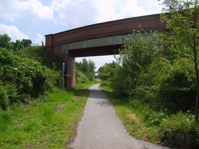
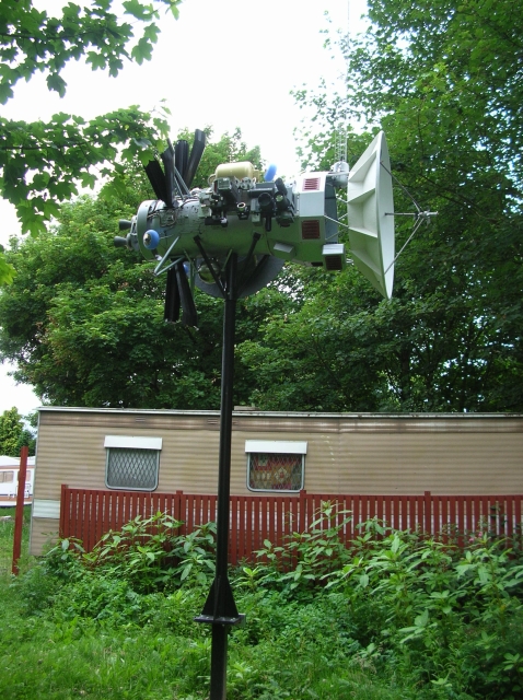
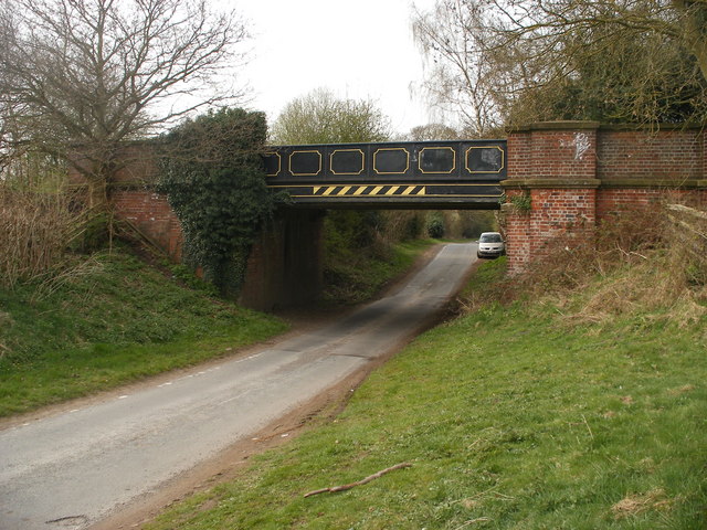
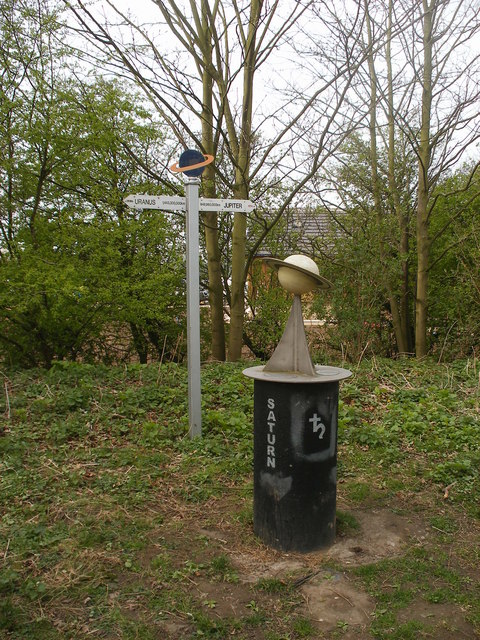
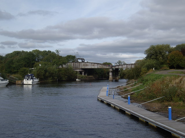
Naburn Reach Images

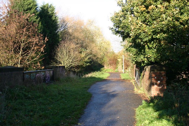
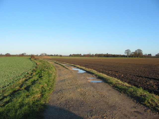
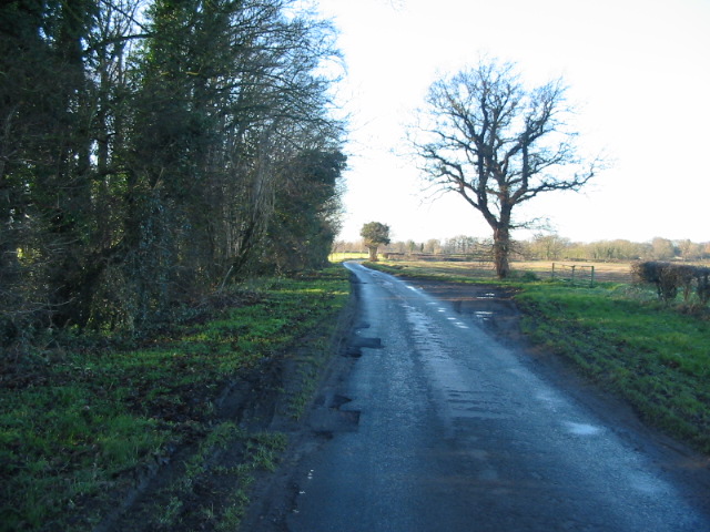
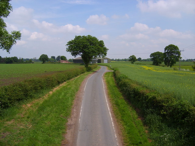
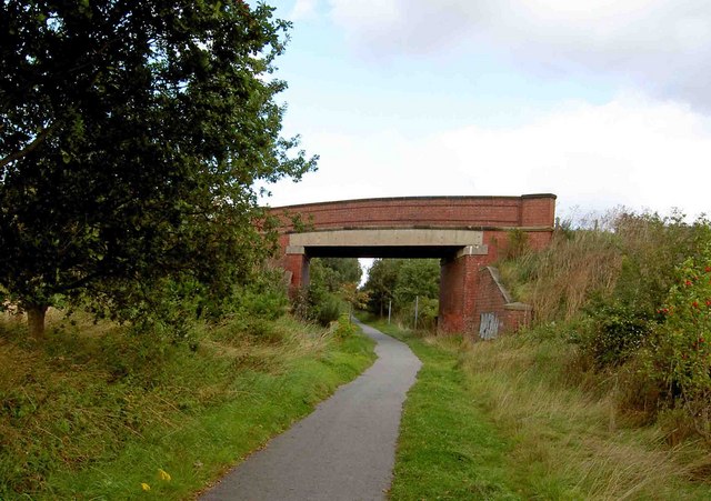
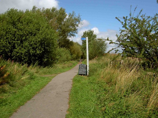
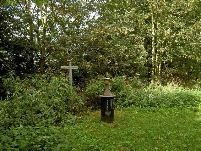
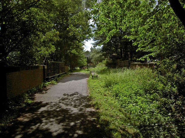
Images are sourced within 2km of 53.901706/-1.1024519 or Grid Reference SE5945. Thanks to Geograph Open Source API. All images are credited.

York to Selby railway path
Farm track to Ash Villa
Moor Lane running alongside Sandhole Plantation
Naburn Lane
Naburn Lane
Howden Lane Taken from the Howden Lane bridge.
Howden Lane
Taken from the Howden Lane bridge.
Moor Lane Bridge
Moor Lane Bridge
Cassini flying past Saturn This model of the Cassini-Huygens probe has been installed a short distance from Saturn along the York to Selby cycle route (Sustrans 65).
Cassini flying past Saturn
This model of the Cassini-Huygens probe has been installed a short distance from Saturn along the York to Selby cycle route (Sustrans 65).
Howden Lane Bridge Howden Lane Bridge where there is access to the 15 mile long Selby & York Railway Path.
Howden Lane Bridge
Howden Lane Bridge where there is access to the 15 mile long Selby & York Railway Path.
Saturn on the Selby & York Railway Path
Bridge over the Trans Pennine Trail, Selby to York cycleway
Left turn to the Blacksmiths Arms PH at Naburn The Trans Pennine Trail heading towards York.
Left turn to the Blacksmiths Arms PH at Naburn
The Trans Pennine Trail heading towards York.
Saturn (via York and Selby cycleway) The Trans Pennine Trail along this section also includes a model of the Solar System along the York - Selby cycle track.  The Sun is a huge 2.4m (about 8 feet) in diameter and Pluto is a tiny 5.9mm sphere, over 10 Km - that's more than 6 miles - away.
Saturn (via York and Selby cycleway)
The Trans Pennine Trail along this section also includes a model of the Solar System along the York - Selby cycle track. The Sun is a huge 2.4m (about 8 feet) in diameter and Pluto is a tiny 5.9mm sphere, over 10 Km - that's more than 6 miles - away.
The Trans Pennine Trail Selby to York cycleway crossing Naburn Lane The now disused Naburn Station is just ahead.
The Trans Pennine Trail Selby to York cycleway crossing Naburn Lane
The now disused Naburn Station is just ahead.
Moor Lane Along Moor Lane on the bridge above the York to Selby cycle path.
Moor Lane
Along Moor Lane on the bridge above the York to Selby cycle path.
Early morning at Naburn This is the limit of the tidal River Ouse.  Above the locks and weir the river is non-tidal and times of passage are less dependent upon the cycle of nature!
Early morning at Naburn
This is the limit of the tidal River Ouse. Above the locks and weir the river is non-tidal and times of passage are less dependent upon the cycle of nature!
Naburn Church
Naburn Church
Moreby Hall
Moreby Hall
Naburn Marina Too many nice boats!!!!!
Naburn Marina
Too many nice boats!!!!!
Show me another place!

Naburn Reach is located at Grid Ref: SE5945 (Lat: 53.901706, Lng: -1.1024519)

Division: East Riding

Unitary Authority: York

Police Authority: North Yorkshire

What 3 Words

///sideboard.comb.punchy. Near Bishopthorpe, North Yorkshire

Related Wikis

Acaster Malbis

Acaster Malbis () is a village and civil parish in the unitary authority of the City of York, England. It is located on the River Ouse, almost 5 miles...

Holy Trinity Church, Acaster Malbis

Holy Trinity Church is an active Anglican church in Acaster Malbis, a village in the City of York, in England. It is a grade I listed building. A church...

Naburn

Naburn is a small village and civil parish in the unitary authority of the City of York in the ceremonial county of North Yorkshire, England. It lies on...

Naburn railway station

Naburn railway station was a railway station which served the village of Naburn, south of York, on the East Coast Main Line. It closed to passengers in...

Nearby Amenities

Located within 500m of 53.901706,-1.1024519
Acaster Malbis
Note Population: 2001 census
Place: village
Population: 578
Wikidata: Q2418275
Wikipedia: en:Acaster Malbis
Lat/Long: 53.8999385/-1.1052178
Post Box
Post Box Type: lamp
Ref: YO23 602
Royal Cypher: EIIR
Royal Cypher Wikidata: Q33102113
Lat/Long: 53.9015492/-1.106736
Bench
Lat/Long: 53.9016693/-1.1069371
Pub
The Ship Inn
Addr City: York
Addr Postcode: YO23 2UH
Beer Garden: yes
Fhrs Id: 245926
Floor Material: stone
Food: yes
Parking: yes
Real Ale: 2 from Timothy Taylor, 2 others
Source Addr: FHRS Open Data
Wheelchair: limited
Wheelchair Description: Step free access to part of bar across grass through beer garden. Lots of steps between drinking areas
Lat/Long: 53.9019429/-1.1038178
Passing Place
Lat/Long: 53.9040875/-1.0993753
Information: guidepost
Tourism: information
Lat/Long: 53.8990032/-1.1051828
Barrier: kissing_gate
Lat/Long: 53.9002906/-1.1042854
Barrier: kissing_gate
Foot: designated
Lat/Long: 53.9034801/-1.1051874
Guidepost Type: route_marker;PROW
Information: guidepost
Tourism: information
Lat/Long: 53.9026909/-1.101724
Barrier: kissing_gate
Lat/Long: 53.9054393/-1.1047399
Barrier: kissing_gate
Lat/Long: 53.9055122/-1.1042901
Barrier: kissing_gate
Lat/Long: 53.9057452/-1.1004728
Direction West: Cowper Lane 0.25
Guide Type: destination
Guidepost Type: PROW
Information: guidepost
Tourism: information
Lat/Long: 53.9052712/-1.0981992
Direction North: Moor End 0.25
Guide Type: destination
Guidepost Type: PROW
Information: guidepost
Tourism: information
Lat/Long: 53.9027389/-1.1019168
The data included in this document is from www.openstreetmap.org. The data is made available under ODbL.

Have you been to Naburn Reach?

Leave your review of Naburn Reach below (or comments, questions and feedback).