Applehurst Pond

Lake, Pool, Pond, Freshwater Marsh in Yorkshire

England

Applehurst Pond

Bridge along Thorpe Lane A weak bridge with a 3 tonne weight restriction as it crosses a stream. Behind the camera the road crosses the former Gowdall and Braithwell railway line. The road forms part of National Cycle Network route 62.
Bridge along Thorpe Lane Credit: DS Pugh

Applehurst Pond is a serene freshwater marsh located in the picturesque region of Yorkshire, England. Nestled amidst lush greenery and rolling hills, it serves as a tranquil retreat for both locals and tourists seeking solace in nature's embrace.

Spanning over an area of approximately 2 acres, Applehurst Pond boasts crystal-clear waters and abundant wildlife, making it a haven for nature enthusiasts. The pond is fed by a small stream that originates from the nearby hills, ensuring a constant flow of fresh water. Its depth varies from shallow areas at the edges to deeper sections towards the center, reaching a maximum depth of around 10 feet.

Surrounded by a diverse array of flora, including reeds, water lilies, and cattails, Applehurst Pond is home to a wide variety of wildlife. Ducks, geese, and swans can often be seen gracefully gliding across the water, while herons and kingfishers perch on the branches of overhanging trees, patiently waiting to catch their next meal. The pond also supports a thriving population of fish, such as perch, roach, and tench, attracting fishing enthusiasts from far and wide.

Visitors can explore the pond's beauty by walking along its perimeter on a well-maintained footpath. Benches are strategically placed at various spots, providing visitors with the perfect opportunity to sit back, relax, and admire the picturesque surroundings. Additionally, there is a designated picnic area nearby, where families and friends can enjoy a leisurely lunch while taking in the scenic views.

Applehurst Pond truly offers a peaceful and idyllic setting, allowing visitors to reconnect with nature and escape the hustle and bustle of everyday life. Whether it's birdwatching, fishing, or simply enjoying the tranquility, this hidden gem in Yorkshire is a must-visit for those seeking a serene and immersive natural experience.

If you have any feedback on the listing, please let us know in the comments section below.

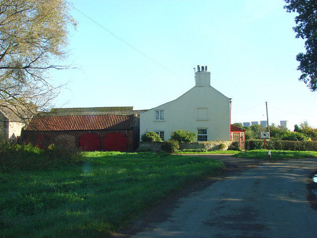
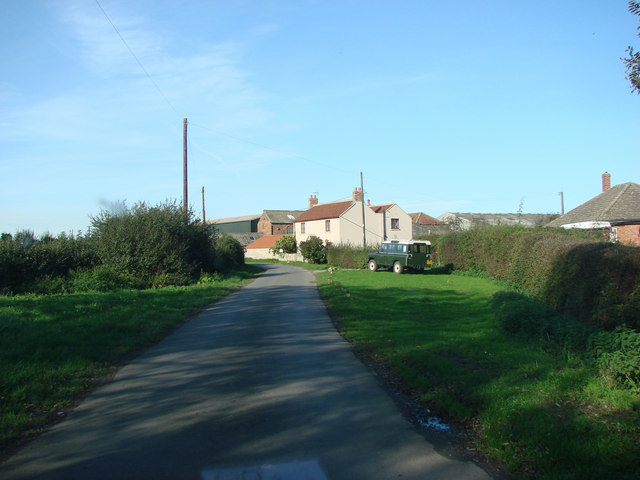
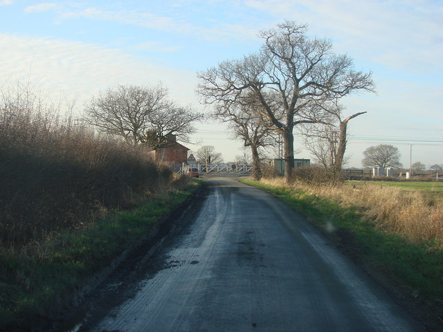
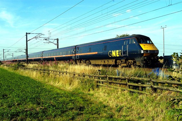
Applehurst Pond Images

Images are sourced within 2km of 53.581082/-1.11341 or Grid Reference SE5809. Thanks to Geograph Open Source API. All images are credited.

Bridge along Thorpe Lane A weak bridge with a 3 tonne weight restriction as it crosses a stream. Behind the camera the road crosses the former Gowdall and Braithwell railway line. The road forms part of National Cycle Network route 62.
Bridge along Thorpe Lane
A weak bridge with a 3 tonne weight restriction as it crosses a stream. Behind the camera the road crosses the former Gowdall and Braithwell railway line. The road forms part of National Cycle Network route 62.
Former railway bridge on Thorpe Lane A weak bridge with a 3 tonne weight restriction as it crosses the former Gowdall and Braithwell railway line. The road forms part of National Cycle Network route 62.
Former railway bridge on Thorpe Lane
A weak bridge with a 3 tonne weight restriction as it crosses the former Gowdall and Braithwell railway line. The road forms part of National Cycle Network route 62.
Former Gowdall and Braithwell railway line Looking down from a bridge on Thorpe Lane as it crosses the former Gowdall and Braithwell railway line.
Former Gowdall and Braithwell railway line
Looking down from a bridge on Thorpe Lane as it crosses the former Gowdall and Braithwell railway line.
Gowdall and Braithwell railway line from Thorpe Lane Looking down from a bridge on Thorpe Lane as it crosses the former Gowdall and Braithwell railway line.
Gowdall and Braithwell railway line from Thorpe Lane
Looking down from a bridge on Thorpe Lane as it crosses the former Gowdall and Braithwell railway line.
Disused Cooling towers Thorpe Marsh site Thorpe Marsh power station closed in March 1994, The picture shows 3 of the six 103 metre high cooling towers that remain.
Disused Cooling towers Thorpe Marsh site
Thorpe Marsh power station closed in March 1994, The picture shows 3 of the six 103 metre high cooling towers that remain.
River Don Looking north along the banks of the River Don near the remains of Thorpe Marsh power station
River Don
Looking north along the banks of the River Don near the remains of Thorpe Marsh power station
Thorpe Marsh The redundant cooling towers of Thorpe Marsh power station seen from the bank of the River Don. The coal fired station opened in the 1960's and closed in 1994.
Thorpe Marsh
The redundant cooling towers of Thorpe Marsh power station seen from the bank of the River Don. The coal fired station opened in the 1960's and closed in 1994.
Owston Grange Farm
Owston Grange Farm
Farm and farm buildings, Middle Lane, Nr Holme.
Marsh Lane, Thorpe Marsh This is a private road, leading to the now defunct Thorpe marsh Power Station.
Marsh Lane, Thorpe Marsh
This is a private road, leading to the now defunct Thorpe marsh Power Station.
Manor House, Thorpe Lane,  Thorpe in Balne
Manor House, Thorpe Lane, Thorpe in Balne
Ancient Moat  in  a field adjoining Manor House, Thorpe In Balne
Ancient Moat in a field adjoining Manor House, Thorpe In Balne
Thorpe in Balne Village Street.
Joan Croft Junction, Level Crossing, Joan Croft Lane, Thorpe in Balne
Heading South Express train heading South passing Joan Croft level crossing.
Heading South
Express train heading South passing Joan Croft level crossing.
Baby cooling tower This is purely a trick of the perspective - it is the same size as its neighbours. The cooling towers are virtually all that remains of the former Thorpe Marsh Power Station
Baby cooling tower
This is purely a trick of the perspective - it is the same size as its neighbours. The cooling towers are virtually all that remains of the former Thorpe Marsh Power Station
The site of Thorpe Marsh Power Station The National Grid still operates a switching station on the site. The hard-hat is as-found.
The site of Thorpe Marsh Power Station
The National Grid still operates a switching station on the site. The hard-hat is as-found.
Thorpe Marsh cooling towers Cooling towers at the disused power station, viewed from the exit from the Stainforth & Keadby Canal looking south-west.
Thorpe Marsh cooling towers
Cooling towers at the disused power station, viewed from the exit from the Stainforth & Keadby Canal looking south-west.
Show me another place!

Applehurst Pond is located at Grid Ref: SE5809 (Lat: 53.581082, Lng: -1.11341)

Division: West Riding

Unitary Authority: Doncaster

Police Authority: South Yorkshire

What 3 Words

///mats.froze.total. Near Kirk Sandall, South Yorkshire

Related Wikis

Thorpe Marsh Nature Reserve

Thorpe Marsh Nature Reserve is a 77-hectare (190-acre) nature reserve located south-west of Thorpe in Balne, north of Doncaster in South Yorkshire, England...

North Doncaster Chord

The North Doncaster Chord (also known as the Shaftholme Flyover) is a railway connection (chord) between the freight only lines between Hatfield & Stainforth...

Joan Croft Halt railway station

Joan Croft Halt railway station was a small halt on the East Coast Main Line (ECML) situated by a level crossing at Joan Croft Junction in South Yorkshire...

Almholme

Almholme is a hamlet in South Yorkshire, England. It was in the parish of Arksey, and is now in Bentley with Arksey unparished area. The term 'holme' relates...

Tilts

Tilts is a hamlet in the City of Doncaster, South Yorkshire, England, some 4 miles (6.4 km) north of Doncaster city centre and 3 miles (4.8 km) south of...

Thorpe in Balne

Thorpe in Balne is a village and civil parish in the Metropolitan Borough of Doncaster in South Yorkshire, England. It had a population of 176 at the...

Thorpe-in-Balne railway station

Thorpe-in-Balne railway station was an unopened railway station on the Hull and Barnsley and Great Central Joint Railway. It was situated about 1 mile...

Ea Beck

The Ea Beck, also spelled Eaubeck or Eau Beck, is a small river in South Yorkshire, England, that flows eastwards into the River Don at Thorpe-in-Balne...

Nearby Amenities

Located within 500m of 53.581082,-1.11341
Railway: switch
Lat/Long: 53.5819094/-1.1150422
South Farm No2
Railway: level_crossing
Lat/Long: 53.5828823/-1.1187088
Railway: switch
Lat/Long: 53.5818595/-1.114062
South Farm No2
Railway: level_crossing
Lat/Long: 53.5829079/-1.1186767
Railway: switch
Lat/Long: 53.5818839/-1.1125148
Railway: switch
Lat/Long: 53.5818822/-1.1134905
Applehurst Junction
Railway: junction
Lat/Long: 53.5818354/-1.1140562
The data included in this document is from www.openstreetmap.org. The data is made available under ODbL.

Have you been to Applehurst Pond?

Leave your review of Applehurst Pond below (or comments, questions and feedback).