Great Shoddesden
Settlement in Hampshire Test Valley
England
Great Shoddesden

Great Shoddesden is a small village located in the county of Hampshire, England. Situated about 6 miles northeast of Andover, this rural settlement is surrounded by picturesque countryside and offers a peaceful and idyllic atmosphere.
The village is characterized by its charming thatched cottages, historic buildings, and a close-knit community. With a population of just over 300 residents, Great Shoddesden maintains a quaint and traditional feel. The local economy primarily revolves around agriculture, with many residents involved in farming and livestock rearing.
Despite its small size, Great Shoddesden has a rich history. It is believed to have been established in the Saxon period and was mentioned in the Domesday Book of 1086, highlighting its long-standing presence in the region. The village is also home to the St. Mary's Church, a Grade II listed building dating back to the 13th century, which adds to its historical significance.
The surrounding natural beauty of Great Shoddesden makes it a haven for outdoor enthusiasts. The village is surrounded by rolling hills, meadows, and woodlands, providing ample opportunities for walking, hiking, and exploring the countryside. Additionally, the nearby Anton Lakes Nature Reserve offers a great spot for birdwatching and wildlife observation.
Facilities in Great Shoddesden are limited, with no shops or schools within the village itself. However, the nearby town of Andover provides all necessary amenities, including schools, shops, and healthcare services.
Overall, Great Shoddesden offers a charming and tranquil rural lifestyle, perfect for those seeking a peaceful retreat in the heart of Hampshire's countryside.
If you have any feedback on the listing, please let us know in the comments section below.
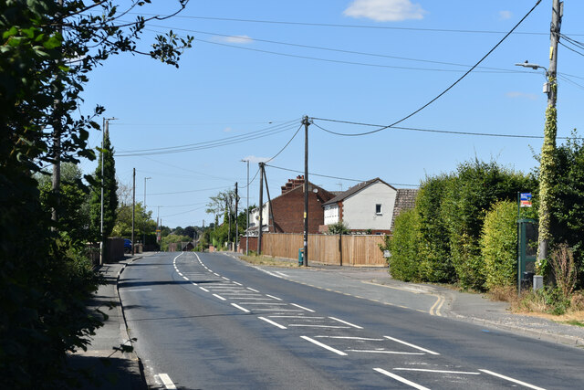
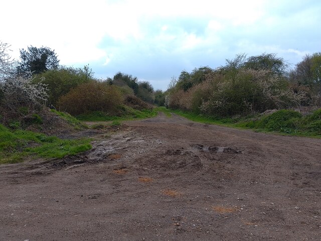
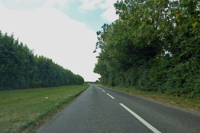
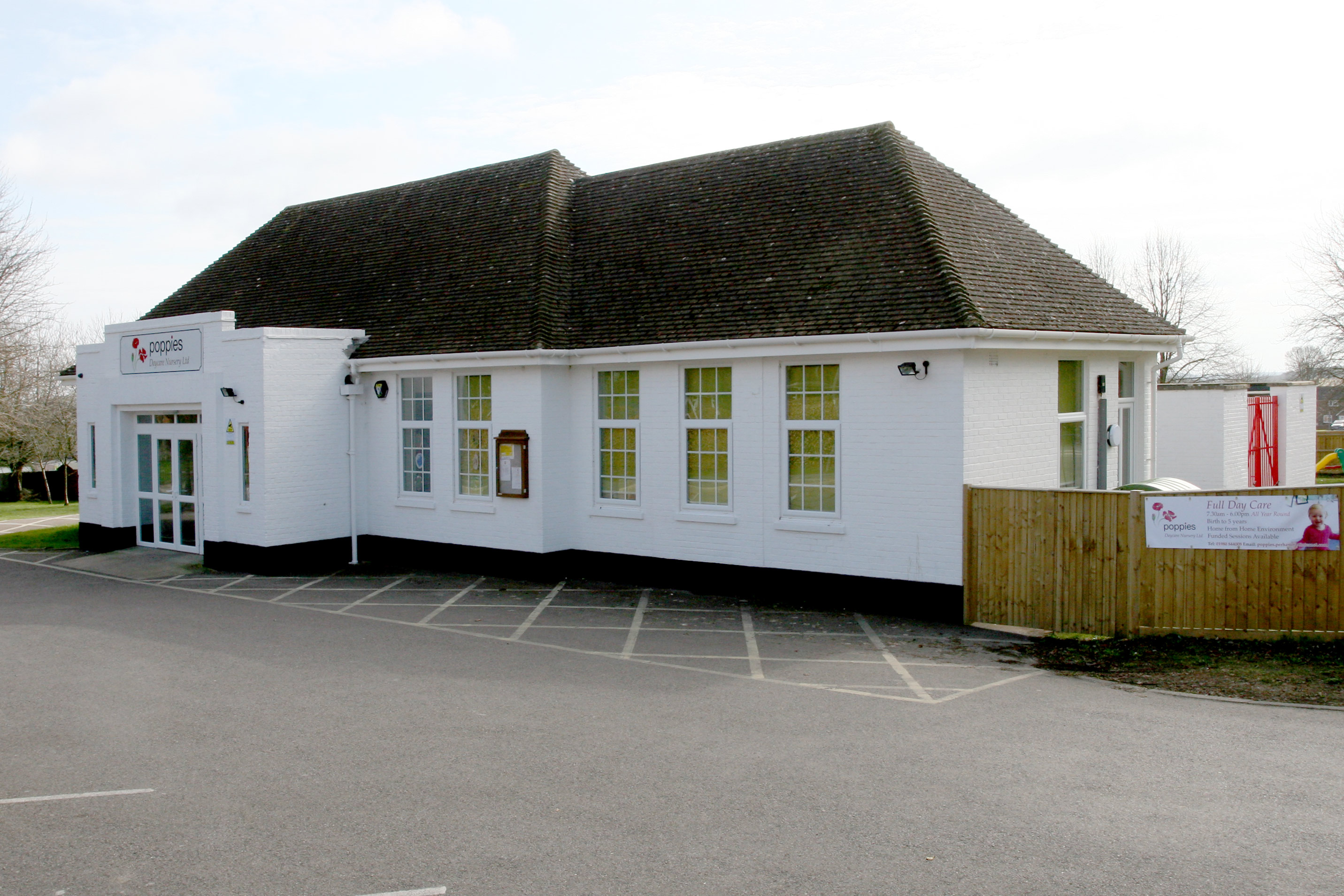
Great Shoddesden Images
Images are sourced within 2km of 51.237653/-1.603183 or Grid Reference SU2748. Thanks to Geograph Open Source API. All images are credited.


Great Shoddesden is located at Grid Ref: SU2748 (Lat: 51.237653, Lng: -1.603183)
Administrative County: Hampshire
District: Test Valley
Police Authority: Hampshire
What 3 Words
///intruding.passenger.commuted. Near Ludgershall, Wiltshire
Nearby Locations
Related Wikis

Faberstown
Faberstown is a settlement in the civil parish of Ludgershall, Wiltshire, England. Its nearest town is Andover, approximately 6 miles (9.7 km) to the...

Redenham Park
Redenham Park is an estate in the civil parish of Appleshaw,[A] Hampshire, England, surrounding Redenham House, an 18th-century Grade II* listed country...
Perham Down
Perham Down is a village in Wiltshire, England, in Tidworth parish on the eastern edge of Salisbury Plain. It lies on a minor road about 1+1⁄2 miles (2...

Swinton Barracks
Swinton Barracks is a military installation accommodating two engineer regiments at Perham Down in Wiltshire, England. The site is on the east edge of...
Kimpton, Hampshire
Kimpton is a village and civil parish in the Test Valley district of Hampshire, England. The village is situated west of Andover, in the north of the county...

Ludgershall railway station, Wiltshire
Ludgershall railway station was a railway station which served the town of Ludgershall in Wiltshire, England from 1882 to 1961. == History == The station...
Redenham
Redenham is a small village in the civil parish of Appleshaw in the Test Valley district of Hampshire, England. It is in the civil Parish of Fyfield....

Ludgershall, Wiltshire
Ludgershall ( LUG-ər-shawl, with a hard g) is a town and civil parish 16 miles (26 km) north east of Salisbury, Wiltshire, England. It is on the A342 road...
Related Videos
![Ludgershall Castle Walking Tour [English Heritage]](https://i.ytimg.com/vi/cXxwGODv41I/hqdefault.jpg)
Ludgershall Castle Walking Tour [English Heritage]
Ludgershall Castle is a ruined 12th-century fortified royal residence at Ludgershall in Wiltshire, England. Three large walls still ...

🇬🇧 Ludgershall Castle | Forgotten royal hunting lodge 🏰
Forgotten royal hunting retreat #wiltshire #southeast #castle #ruin #uk #england #englishheritage #henryiii #walking ...


Riding the SUPER RARE Rock & Roll Ride at Luggershall Fun Fair 2023 - Edward Stokes Fun Fairs 😳
Welcome back to the channel, Please do remember to like the video, Comment and Subscribe it's FREE! Join me and Libby as we ...
Nearby Amenities
Located within 500m of 51.237653,-1.603183Have you been to Great Shoddesden?
Leave your review of Great Shoddesden below (or comments, questions and feedback).