Shefford, Great

Settlement in Berkshire

England

Shefford, Great

Great Shefford (Berks) St Mary's Church
Great Shefford (Berks) St Mary's Church Credit: ChurchCrawler

The requested URL returned error: 429 Too Many Requests

If you have any feedback on the listing, please let us know in the comments section below.

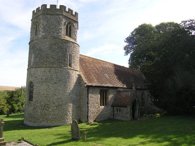
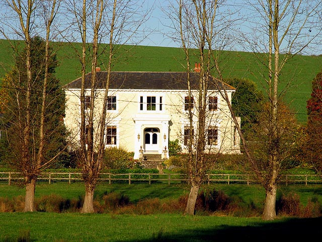
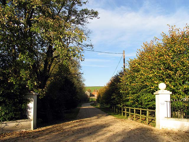
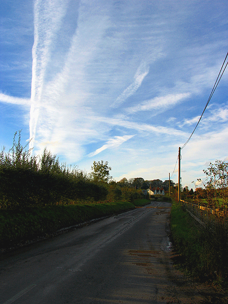
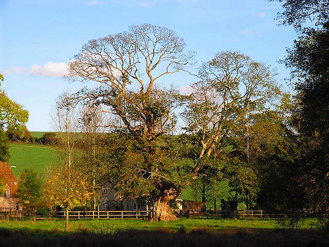
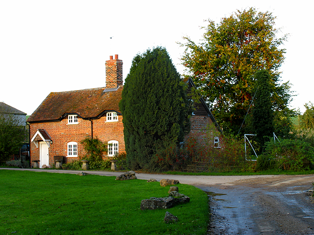
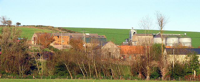
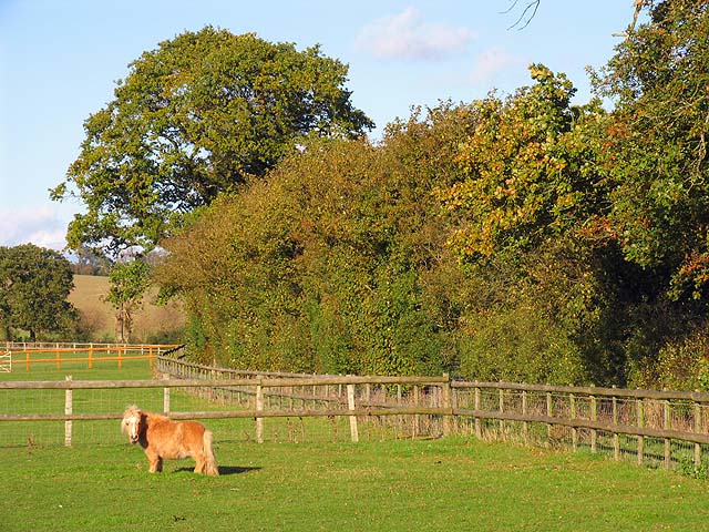
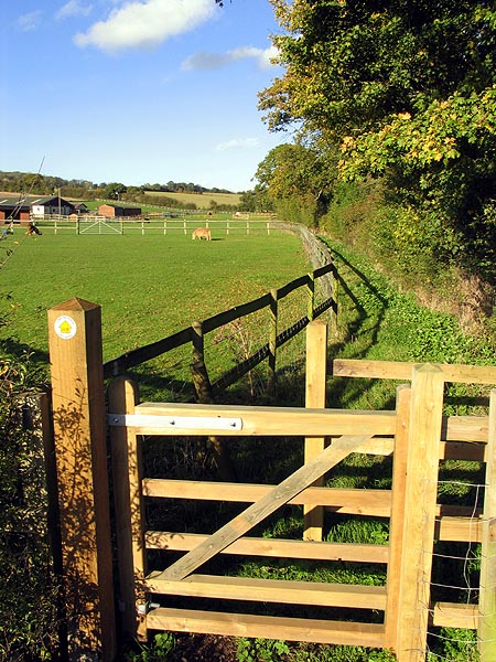
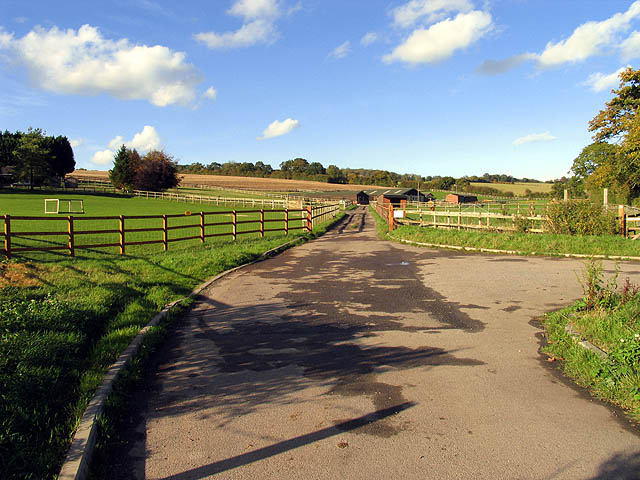
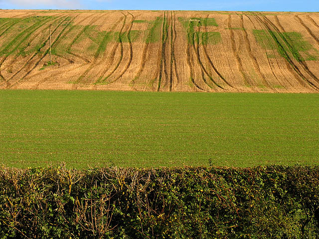
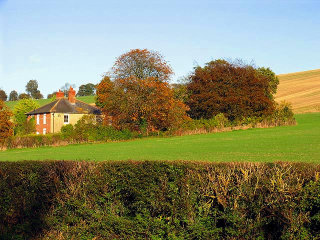
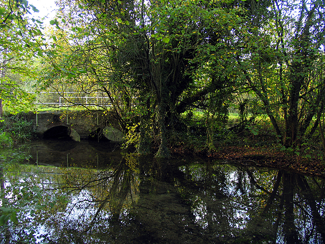
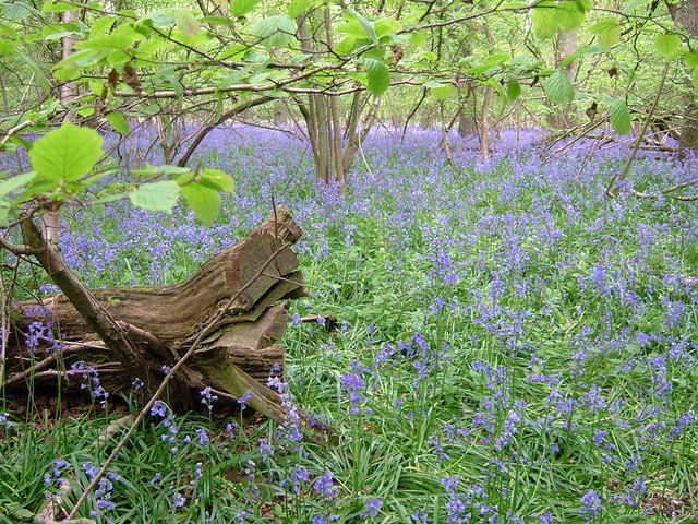
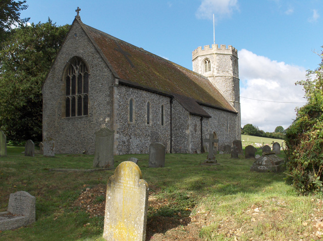
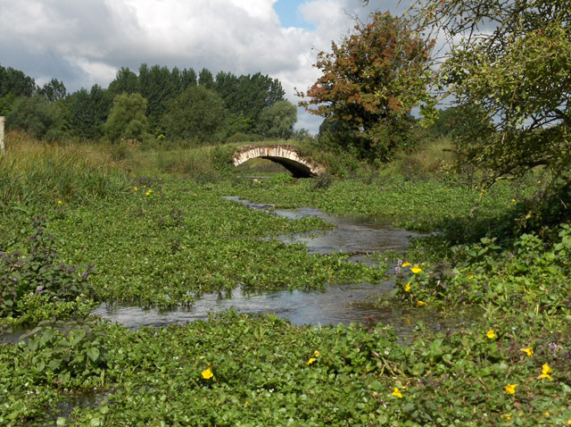
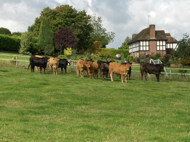
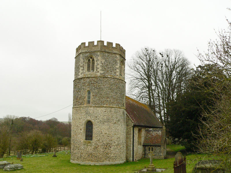
Shefford, Great Images

Images are sourced within 2km of 51.477105/-1.447036 or Grid Reference SU3875. Thanks to Geograph Open Source API. All images are credited.

Great Shefford (Berks) St Mary's Church
East Shefford House This grand house is visible from the minor road that passes through the north eastern section of the square. The square is basically all farmland.
East Shefford House
This grand house is visible from the minor road that passes through the north eastern section of the square. The square is basically all farmland.
Gates and Byway to East Shefford House The rather grand drive and byway leading of the minor road in the north eastern section of the square.
Gates and Byway to East Shefford House
The rather grand drive and byway leading of the minor road in the north eastern section of the square.
Country Road to Great Shefford A view of the road from near the East Shefford estate, looking north west towards Great Shefford.
Country Road to Great Shefford
A view of the road from near the East Shefford estate, looking north west towards Great Shefford.
Tree East of the Church at East Shefford House This beautiful tree and land east of the church is on the western side of the square, close to the western edge. The Lambourn River lies in the shadow in the foreground of the picture. The square is farmland.
Tree East of the Church at East Shefford House
This beautiful tree and land east of the church is on the western side of the square, close to the western edge. The Lambourn River lies in the shadow in the foreground of the picture. The square is farmland.
Byway and Elton Lane at Elton Farm The byway splits at this point with the left turn being the Lambourn Valley Way and the right fork becomes Elton track. This is in the south eastern section of the square.
Byway and Elton Lane at Elton Farm
The byway splits at this point with the left turn being the Lambourn Valley Way and the right fork becomes Elton track. This is in the south eastern section of the square.
Farm Buildings at East Shefford These farm buildings lie north east of the house and in the north western corner of this square.
Farm Buildings at East Shefford
These farm buildings lie north east of the house and in the north western corner of this square.
Trindledown Animal Shelter The square is largely farmland, but also has a large animal welfare centre.
Trindledown Animal Shelter
The square is largely farmland, but also has a large animal welfare centre.
Footpath at Trindledown Farm The footpath runs parallel with the road for some way before leaving the road and moving north and west to Henley Farm.
Footpath at Trindledown Farm
The footpath runs parallel with the road for some way before leaving the road and moving north and west to Henley Farm.
Trindledown Farm and Animal Centre Load of lovely paddocks for any neglected or unwanted horse and dogs and cats. well. For a BBC news article see <span class="nowrap"><a title="http://news.bbc.co.uk/1/hi/uk/2231094.stm" rel="nofollow ugc noopener" href="http://news.bbc.co.uk/1/hi/uk/2231094.stm">Link</a><img style="margin-left:2px;" alt="External link" title="External link - shift click to open in new window" src="https://s1.geograph.org.uk/img/external.png" width="10" height="10"/></span>
Trindledown Farm and Animal Centre
Load of lovely paddocks for any neglected or unwanted horse and dogs and cats. well. For a BBC news article see LinkExternal link
Patterned Farmland near Great Shefford The square is all farmland. These interesting lines of differing vegetation and crops and plough lines made an interesting landscape for the entire section along the road to Great Shefford, in this square.
Patterned Farmland near Great Shefford
The square is all farmland. These interesting lines of differing vegetation and crops and plough lines made an interesting landscape for the entire section along the road to Great Shefford, in this square.
Countryside near Great Shefford A view of a residence adjacent to farmland, in the south western section of a square characterised by farmland and other isolated detached residences.
Countryside near Great Shefford
A view of a residence adjacent to farmland, in the south western section of a square characterised by farmland and other isolated detached residences.
Deciduous Tree on the verge of Hangman's Stone Lane This tree and farmland immediately surrounding it, is on the northern side of the road, on the northern edge of the square. The square is all farmland.
Deciduous Tree on the verge of Hangman's Stone Lane
This tree and farmland immediately surrounding it, is on the northern side of the road, on the northern edge of the square. The square is all farmland.
Bridge over the Lambourn The bridge reflected in the Lambourn River in the autumn. The bridge is in the north eastern section of the square. This view looks more or less west, towards the eastern side of the bridge
Bridge over the Lambourn
The bridge reflected in the Lambourn River in the autumn. The bridge is in the north eastern section of the square. This view looks more or less west, towards the eastern side of the bridge
Bluebells in Coldridge Copse, Gt Shefford
St Mary's, Great Shefford Round towered churches are an East Anglian speciality. There are two outside of that area, and they are both in the Lambourn valley; here and at Welford, see <a href="https://www.geograph.org.uk/photo/74108">SU4073 : Autumn Afternoon at St Gregory's</a>.
St Mary's, Great Shefford
Round towered churches are an East Anglian speciality. There are two outside of that area, and they are both in the Lambourn valley; here and at Welford, see SU4073 : Autumn Afternoon at St Gregory's.
River Lambourn Just a trickle, but I was quite surprised to find that given the dry summer (and preceding seasons). A little upriver in East Garston there is no flow, just a slight dampness. The yellow monkey flowers are native to North America.
River Lambourn
Just a trickle, but I was quite surprised to find that given the dry summer (and preceding seasons). A little upriver in East Garston there is no flow, just a slight dampness. The yellow monkey flowers are native to North America.
Cattle and River Mead On the footpath, which doesn't seem very much used, across the pastures south of the River Lambourn.
Cattle and River Mead
On the footpath, which doesn't seem very much used, across the pastures south of the River Lambourn.
Show me another place!

Shefford, Great is located at Grid Ref: SU3875 (Lat: 51.477105, Lng: -1.447036)

Unitary Authority: West Berkshire

Police Authority: Thames Valley

What 3 Words

///crunching.simulator.masking. Near Welford, Berkshire

Related Wikis

Great Shefford railway station

Great Shefford railway station was a railway station in Great Shefford, Berkshire, UK, on the Lambourn Valley Railway. == History == The station opened...

Great Shefford

Great Shefford (or West Shefford) is an English village and civil parish on the River Lambourn in the West Berkshire district of Berkshire. The present...

St Thomas' Church, East Shefford

St Thomas' Church is a redundant Church of England parish church at East Shefford in the English county of Berkshire. It is recorded in the National Heritage...

East Garston

East Garston is a village and civil parish on the River Lambourn, about 5.5 miles (8.9 km) north of Hungerford in West Berkshire. The river flows through...

Nearby Amenities

Located within 500m of 51.477105,-1.447036
Great Shefford
Created By: xybot
Place: village
Wikidata: Q2712456
Lat/Long: 51.4760456/-1.4465484
Great Shefford
Abandoned Railway: station
Railway: site
Source: OS 1:25k 1st series 1937-61
Wikidata: Q15222073
Lat/Long: 51.4764491/-1.4471513
Turning Circle
Lat/Long: 51.4798076/-1.4414539
Turning Circle
Lat/Long: 51.4765401/-1.4445143
Turning Circle
Lat/Long: 51.4781839/-1.4437982
Barrier: kissing_gate
Lat/Long: 51.4762679/-1.4528558
Fuel
Brand: Murco
Fuel 1 25: no
Fuel 1 50: no
Fuel GTL Diesel: no
Fuel HGV Diesel: no
Fuel Biodiesel: no
Fuel Biogas: no
Fuel Cng: no
Fuel Diesel: yes
Fuel E10: no
Fuel E85: no
Fuel Electricity: no
Fuel Lpg: no
Fuel Octane 100: no
Fuel Octane 91: yes
Fuel Octane 95: yes
Fuel Octane 98: no
Self Service: yes
Source: local_knowledge
Lat/Long: 51.4748958/-1.4453885
Pub
The Great Shefford
Addr City: Great Shefford
Addr Street: Newbury Road
Internet Access: wlan
Smoking: outside
Source: local_knowledge
Lat/Long: 51.4745826/-1.4489062
Post Office
Great Shefford Post Office
Brand: Post Office
Brand Wikidata: Q1783168
Check Date: 2023-09-27
Ref Pol Id: 5993
Source: local_knowledge
Lat/Long: 51.4759875/-1.4443772
Great Shefford Village Shop
Shop: convenience
Source: local_knowledge
Lat/Long: 51.4759433/-1.4443974
Shop: car_repair
Source: local_knowledge
Lat/Long: 51.4747613/-1.4457559
Townhall
Great Shefford Village Hall
Lat/Long: 51.476447/-1.4484207
Kindergarten
Great Shefford Under 5s
Source: local_knowledge
Lat/Long: 51.4764775/-1.4484651
Post Box
Source: local_knowledge
Lat/Long: 51.4759204/-1.4444109
Post Box
Post Box Type: lamp
Royal Cypher: EIIR
Royal Cypher Wikidata: Q33102113
Source: local_knowledge
Lat/Long: 51.4747209/-1.4501227
Power: pole
Source: Bing
Lat/Long: 51.4745205/-1.4416445
Power: pole
Source: Bing
Lat/Long: 51.4729082/-1.4444579
Power: pole
Source: Bing
Lat/Long: 51.4739792/-1.442347
Power: pole
Source: Bing
Lat/Long: 51.4732658/-1.4437873
Power: pole
Source: Bing
Lat/Long: 51.4766222/-1.4414353
Power: pole
Source: Bing
Lat/Long: 51.4736935/-1.4429532
Power: pole
Source: Bing
Lat/Long: 51.4769095/-1.4426045
Power: pole
Source: Bing
Lat/Long: 51.4763514/-1.4403035
Power: pole
Source: Bing
Lat/Long: 51.4750451/-1.4409312
Stop
Lat/Long: 51.4745188/-1.4493473
Give Way
Lat/Long: 51.4733311/-1.4479705
Turning Loop
Lat/Long: 51.4786214/-1.4436804
Hiking: yes
Information: guidepost
Source: GPS
Tourism: information
Lat/Long: 51.4762804/-1.4483419
The data included in this document is from www.openstreetmap.org. The data is made available under ODbL.

Have you been to Shefford, Great?

Leave your review of Shefford, Great below (or comments, questions and feedback).