Saredon, Great
Settlement in Staffordshire South Staffordshire
England
Saredon, Great

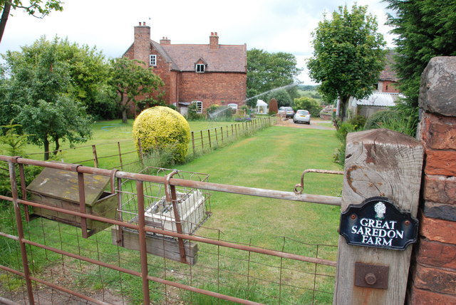
Saredon is a small village located in the district of Great Wyrley in Staffordshire, England. Situated approximately four miles northwest of Cannock, it is a rural community with a population of around 500 residents. The village is surrounded by picturesque countryside, offering a peaceful and idyllic environment.
Saredon has a rich history dating back to the medieval period. The village is known for its historical landmarks, including St. Chad's Church, which dates back to the 13th century and is a Grade II listed building. This beautiful church showcases stunning architecture and attracts visitors interested in its historical significance.
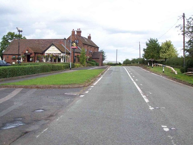
The village itself is home to a small number of amenities, including a local pub, the Saredon Arms, which serves as a gathering place for locals and visitors alike. The pub offers a warm and friendly atmosphere, and frequently hosts community events.
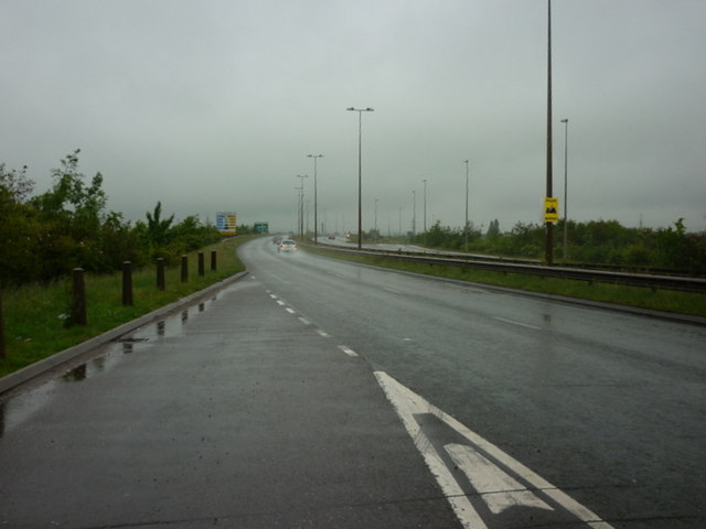
Saredon is well-connected to surrounding areas via road links, with the A34 and M6 Toll nearby, providing easy access to major towns and cities. The village is also served by a reliable public transportation system, ensuring convenient travel options for residents.
The surrounding countryside offers ample opportunities for outdoor activities, including hiking, cycling, and horseback riding. The village is also in close proximity to several nature reserves and parklands, providing residents with beautiful green spaces to explore and enjoy.
Overall, Saredon is a charming and peaceful village, offering a close-knit community, historical landmarks, and easy access to both rural and urban amenities.
If you have any feedback on the listing, please let us know in the comments section below.
Saredon, Great Images
Images are sourced within 2km of 52.673259/-2.071696 or Grid Reference SJ9508. Thanks to Geograph Open Source API. All images are credited.


Saredon, Great is located at Grid Ref: SJ9508 (Lat: 52.673259, Lng: -2.071696)
Administrative County: Staffordshire
District: South Staffordshire
Police Authority: Staffordshire
What 3 Words
///item.outer.orchestra. Near Cannock, Staffordshire
Nearby Locations
Related Wikis

Saredon
Saredon is a civil parish in South Staffordshire district, Staffordshire, England, situated to the north east of Wolverhampton, West Midlands, and to the...

Four Crosses, Staffordshire
Four Crosses in South Staffordshire, Staffordshire, England. Is a scattered hamlet located between Cannock and Wolverhampton. As well as Penkridge and...
Wedges Mills
Wedges Mills is a small village in the South Staffordshire District in Staffordshire, England, close to the border with Cannock Chase District. The area...
Cannock Hockey Club
Cannock Hockey Club are an English professional field hockey team. They were established in 1905, and are based in the village of Hatherton, near Cannock...
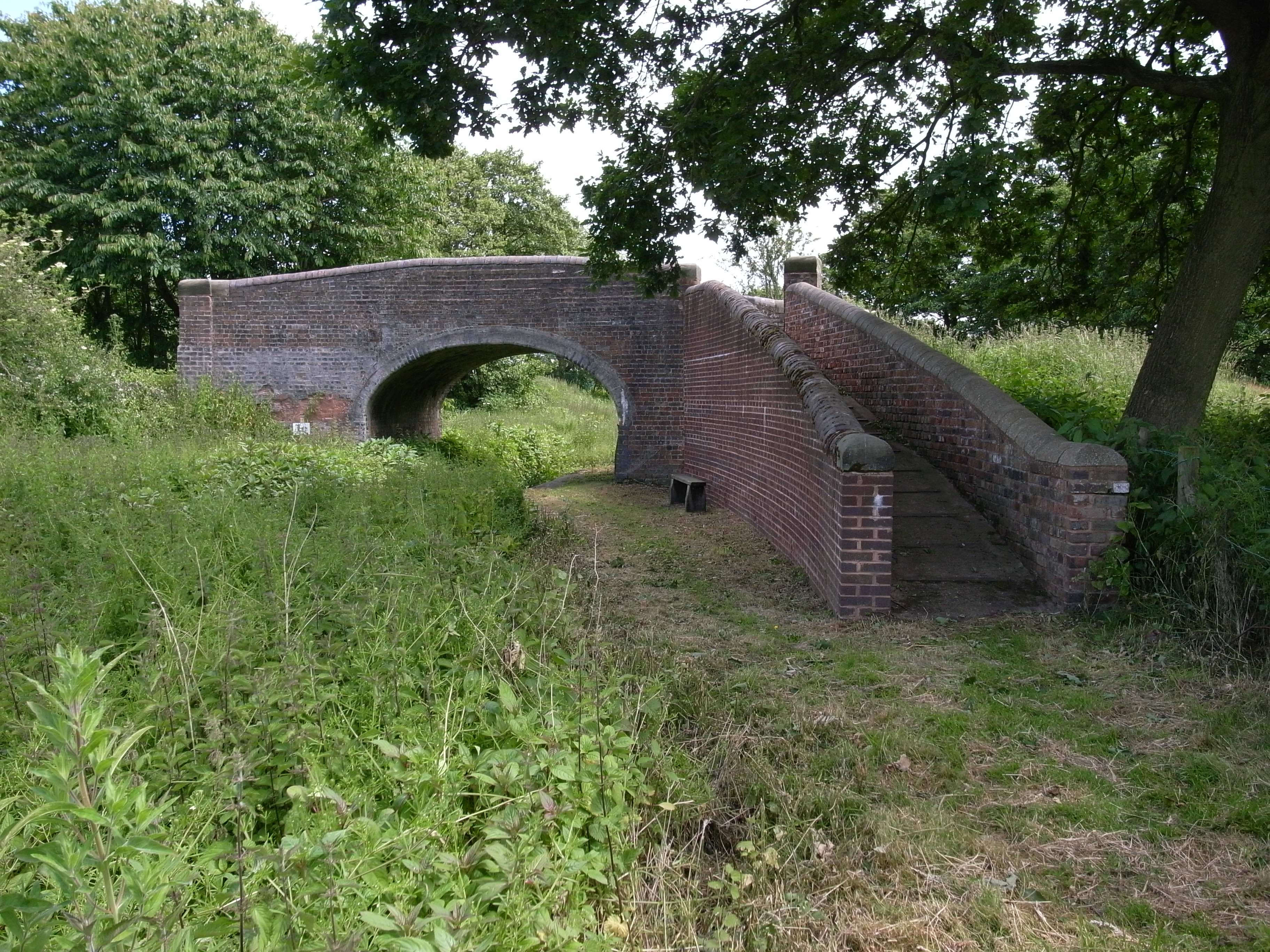
Hatherton Canal
The Hatherton Canal is a derelict branch of the Staffordshire and Worcestershire Canal in south Staffordshire, England. It was constructed in two phases...
Shareshill
Shareshill is a village and civil parish in the South Staffordshire district, in the county of Staffordshire, England. The population as measured in the...

Hatherton, Staffordshire
Hatherton is a settlement and civil parish located 3+1⁄4 miles (5.2 km) south-east of Penkridge, and on the western edge of modern-day Cannock, Staffordshire...
Cheslyn Hay Academy
Cheslyn Hay Academy (formerly Cheslyn Hay Sport and Community High School) is a mixed secondary school and sixth form located in Cheslyn Hay in the English...
Nearby Amenities
Located within 500m of 52.673259,-2.071696Have you been to Saredon, Great?
Leave your review of Saredon, Great below (or comments, questions and feedback).