Charnwood Water
Lake, Pool, Pond, Freshwater Marsh in Leicestershire Charnwood
England
Charnwood Water

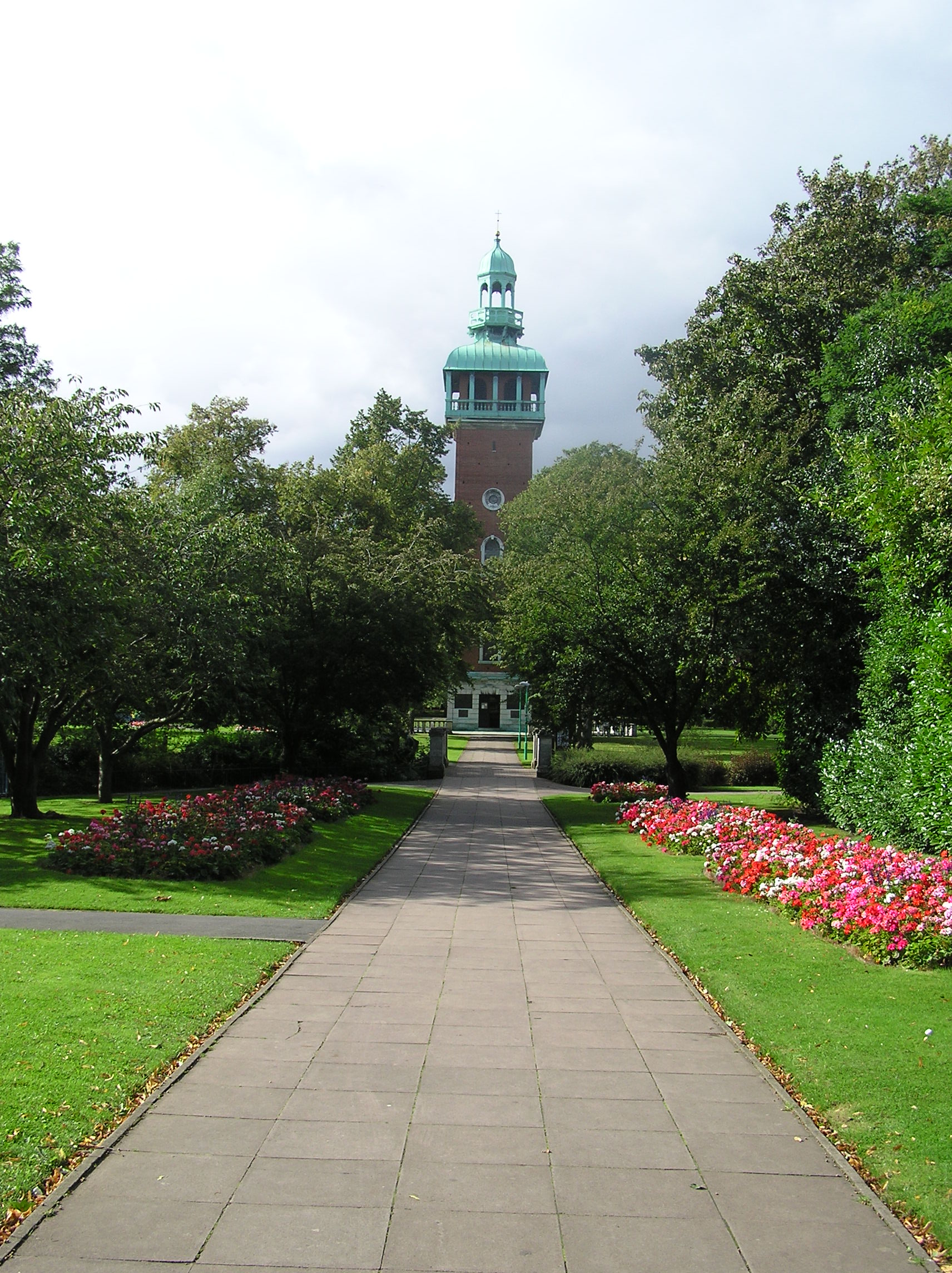
Charnwood Water is a picturesque freshwater lake located in Leicestershire, England. Situated in the heart of Charnwood Forest, this beautiful body of water covers an area of approximately 30 acres and is a popular destination for nature enthusiasts, anglers, and local residents alike.
The lake is surrounded by lush greenery and offers a tranquil setting for visitors to relax and enjoy the peaceful atmosphere. With its crystal-clear waters and diverse ecosystem, Charnwood Water is home to a wide variety of flora and fauna, making it a haven for wildlife. Birdwatchers can often spot various species, such as swans, ducks, and herons, gliding across the lake's surface or nesting in the nearby reed beds.
Anglers are drawn to Charnwood Water for its abundant fish population, including carp, perch, and roach. The lake is well-stocked and offers excellent fishing opportunities for both beginners and experienced anglers. Fishing permits can be obtained from the local authorities, ensuring that the lake is well-managed and maintained.
In addition to fishing and wildlife observation, Charnwood Water provides opportunities for recreational activities such as boating and picnicking. Visitors can rent rowing boats or canoes to explore the lake, or simply relax on the lakeside and enjoy a picnic while taking in the stunning views.
Overall, Charnwood Water offers a peaceful and picturesque retreat for nature lovers and outdoor enthusiasts. With its diverse ecosystem, abundant wildlife, and recreational activities, it is a must-visit destination for anyone seeking a tranquil escape in the heart of Leicestershire.
If you have any feedback on the listing, please let us know in the comments section below.
Charnwood Water Images
Images are sourced within 2km of 52.761031/-1.1911163 or Grid Reference SK5418. Thanks to Geograph Open Source API. All images are credited.


Charnwood Water is located at Grid Ref: SK5418 (Lat: 52.761031, Lng: -1.1911163)
Administrative County: Leicestershire
District: Charnwood
Police Authority: Leicestershire
What 3 Words
///flank.grew.blues. Near Loughborough, Leicestershire
Nearby Locations
Related Wikis

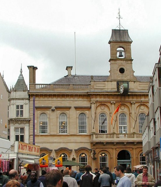
Loughborough Grammar School
Loughborough Grammar School is a 10–18 independent boys school in the town of Loughborough, Leicestershire, England, founded in 1495 by Thomas Burton....

Park Road, Loughborough
Park Road is a cricket ground in Loughborough, Leicestershire. Established along with the formation of Loughborough Town Cricket Club in 1896, the ground...

Loughborough Central railway station
Loughborough Central Station is a railway station on the Great Central Railway and the Great Central Railway (preserved) serving Loughborough. == History... ==
Loughborough High School
Loughborough High School is a selective, independent school for girls in Loughborough, Leicestershire, England. It is one of four independent schools known...

Loughborough Amherst School
Loughborough Amherst School, formerly known as Our Lady's Convent School (OLCS), is an independent day and boarding school for girls and boys aged 4 to...
Woodthorpe, Leicestershire
Woodthorpe is a hamlet just south of Loughborough and former civil parish in the Charnwood district, in Leicestershire, England. In 1931 the parish had...

Loughborough (UK Parliament constituency)
Loughborough is a constituency in Leicestershire represented in the House of Commons of the UK Parliament since 2019 by Jane Hunt, a Conservative. From...
Borough of Charnwood
Charnwood is a local government district with borough status in the north of Leicestershire, England. It is named after Charnwood Forest, much of which...
Nearby Amenities
Located within 500m of 52.761031,-1.1911163Have you been to Charnwood Water?
Leave your review of Charnwood Water below (or comments, questions and feedback).