Alder Tree Reach
Lake, Pool, Pond, Freshwater Marsh in Yorkshire Hambleton
England
Alder Tree Reach
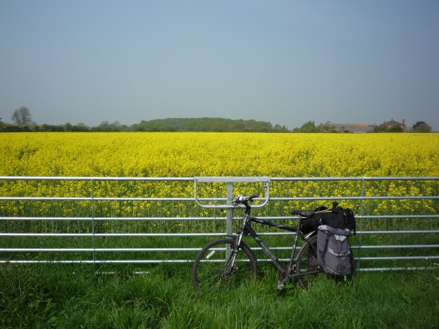
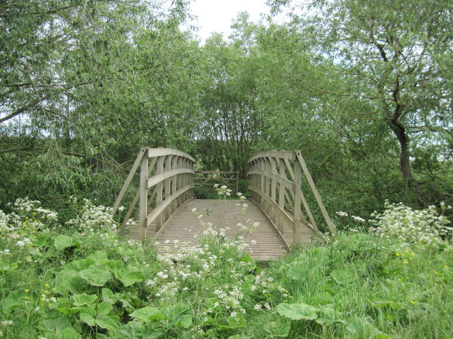
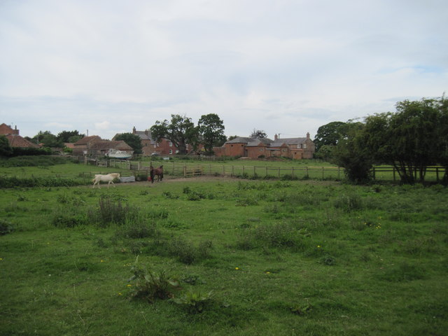
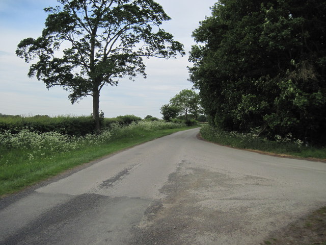
Alder Tree Reach, located in Yorkshire, is a picturesque freshwater marsh encompassing a lake, pool, pond, and surrounding wetland area. This natural habitat is a haven for a diverse range of plant and animal species, attracting nature enthusiasts and wildlife observers year-round.
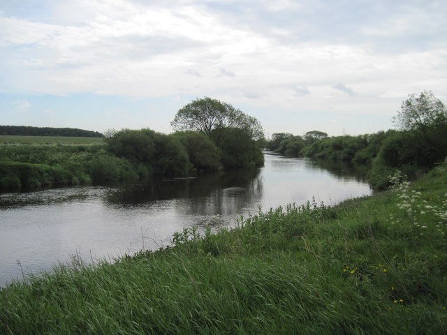
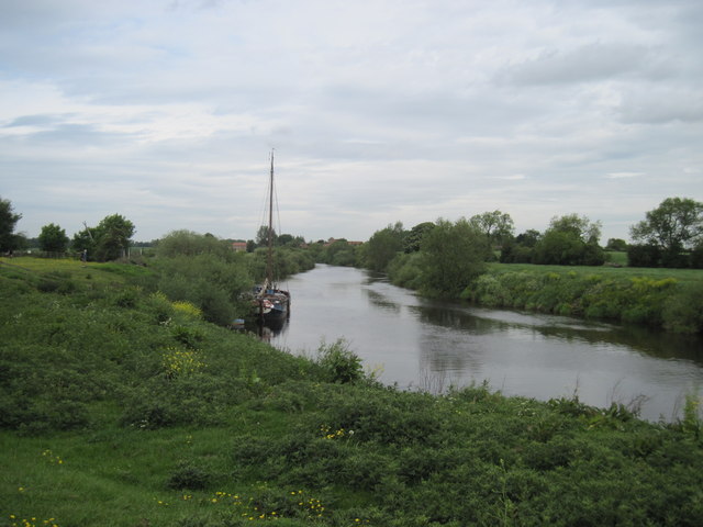
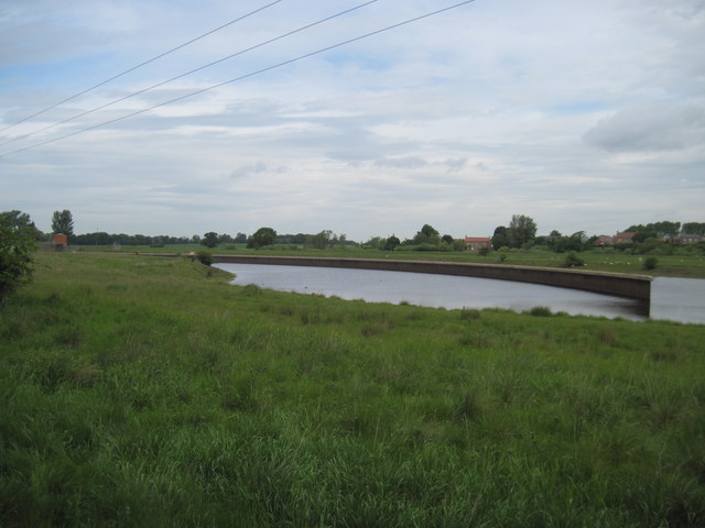
At the heart of Alder Tree Reach lies a serene lake, its calm waters reflecting the surrounding lush greenery and clear blue skies. The lake provides a vital water source for the various flora and fauna that call this place home. Its tranquil surface is often adorned with water lilies, creating a beautiful sight during the blooming season.
Adjacent to the lake, a pool can be found, which serves as a breeding ground for amphibians such as frogs and newts. These creatures can often be spotted hopping from lily pad to lily pad or diving into the pool, adding a lively touch to the ecosystem.
A pond, nestled within the marshland, offers a diverse array of aquatic life. Here, fish species like carp and perch thrive in the calm, shallow waters, while dragonflies and damselflies flutter above, contributing to the vibrant atmosphere.
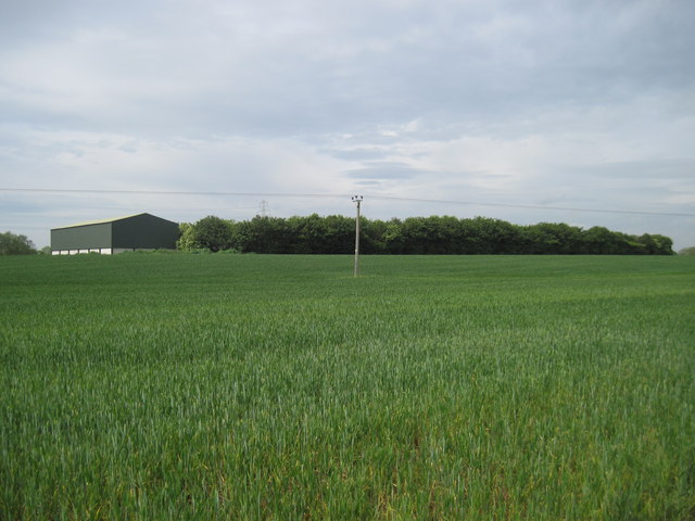
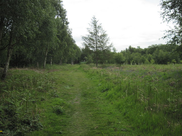
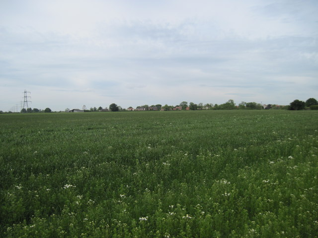
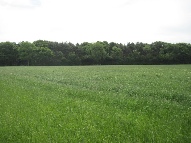
The entire area surrounding the lake, pool, and pond is characterized by a flourishing freshwater marsh. This marshland is dominated by tall, slender alder trees, from which the area takes its name. These trees provide shade and shelter for a wide range of bird species, including reed warblers and sedge warblers, making it a popular spot for birdwatching enthusiasts.
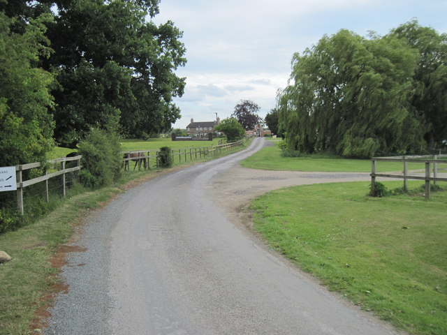
Alder Tree Reach, with its diverse aquatic habitats and abundant wildlife, offers a unique opportunity to immerse oneself in the wonders of nature. Visitors can enjoy peaceful walks along the water's edge, observe the fascinating interactions between species, and marvel at the beauty of Yorkshire's natural landscape.
If you have any feedback on the listing, please let us know in the comments section below.
Alder Tree Reach Images
Images are sourced within 2km of 54.007456/-1.1879756 or Grid Reference SE5357. Thanks to Geograph Open Source API. All images are credited.


Alder Tree Reach is located at Grid Ref: SE5357 (Lat: 54.007456, Lng: -1.1879756)
Division: West Riding
Administrative County: North Yorkshire
District: Hambleton
Police Authority: North Yorkshire
What 3 Words
///follow.variances.denote. Near Nether Poppleton, North Yorkshire
Nearby Locations
Related Wikis

Red House, Moor Monkton
The Red House is a historic building in Moor Monkton, north-west of York in England. == History == The first Red House was constructed before 1342, when...

Beningbrough
Beningbrough is a village and civil parish in the Hambleton district of North Yorkshire, England. The population as taken at the 2011 Census was less than...

Beningbrough railway station
Beningbrough railway station was on the East Coast Main Line that served the village of Beningbrough, North Yorkshire, England from 1841 to 1965. ��2...

River Nidd
The River Nidd is a tributary of the River Ouse in the English county of North Yorkshire. In its first few miles it is dammed three times to create Angram...
St Mary's Church, Nun Monkton
St Mary's Church is the parish church of Nun Monkton, in North Yorkshire, in England. == History == Nun Monkton Priory was founded in 1172 by Ivetta of...

Nun Monkton
Nun Monkton is a village and civil parish in the Harrogate district of North Yorkshire, England. It is situated 8 miles (13 km) northwest of York at the...

All Saints' Church, Moor Monkton
All Saints' Church is the parish church of Moor Monkton, a village north-west of York in England. The church dates from the 12th century, when the nave...
Overton, North Yorkshire
Overton is a small village and civil parish in the Hambleton district of North Yorkshire, England, about 4 miles (6.4 km) north-west of York. The population...
Nearby Amenities
Located within 500m of 54.007456,-1.1879756Have you been to Alder Tree Reach?
Leave your review of Alder Tree Reach below (or comments, questions and feedback).