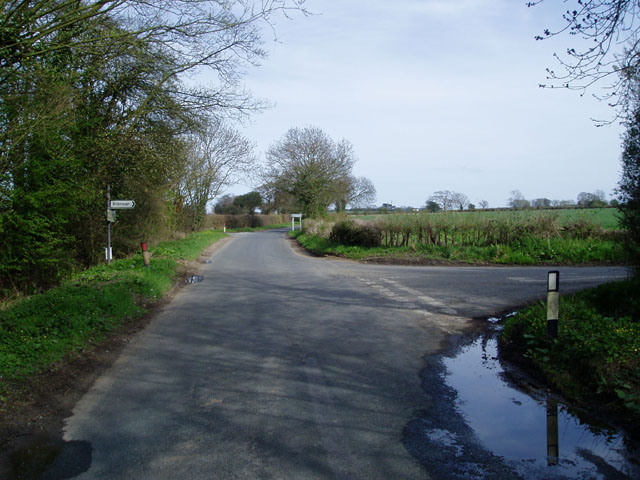
Howcar Pond

Lake, Pool, Pond, Freshwater Marsh in Yorkshire Harrogate

England

Howcar Pond

Steam Roller at Rufforth Airfield near York In the early 1980s the Ouse Gliding Club (now the York Gliding Centre) needed a new access road, and had laid a rough track which had become full of potholes. We had laid extra rubble on the track, but the result was not very satisfactory. By chance, one of the committee members came across this steam roller near his home. Chatting to the owner he found he was keen to do some real rolling with his engine, so it was agreed that we would pay for his coal and he would have a rare opportunity to work his roller.
Steam Roller at Rufforth Airfield near York Credit: Rich Tea

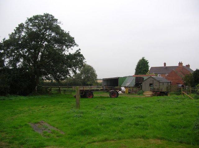
Howcar Pond, located in Yorkshire, is a freshwater marsh that can be classified as a lake, pool, or pond depending on its size and the season. It is situated amidst the stunning landscape of the Yorkshire Dales, offering visitors a tranquil and picturesque setting to explore.

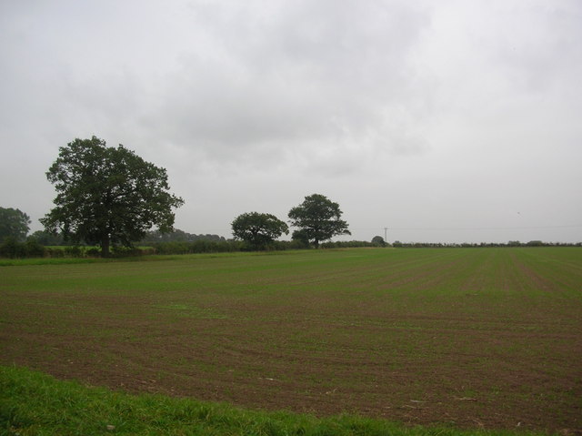
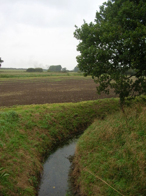
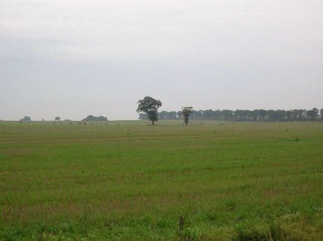
The size of Howcar Pond can vary throughout the year, with its dimensions expanding during the wetter months and shrinking during drier periods. During the rainy season, the pond can reach a considerable size, covering a vast area and providing a habitat for various aquatic plants and animals.

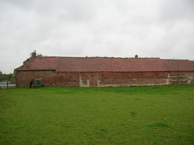
The pond is surrounded by lush vegetation, including reeds, grasses, and water lilies, which contribute to the overall beauty of the area. These plants serve as crucial habitats for numerous species of birds, insects, and amphibians that call Howcar Pond home.

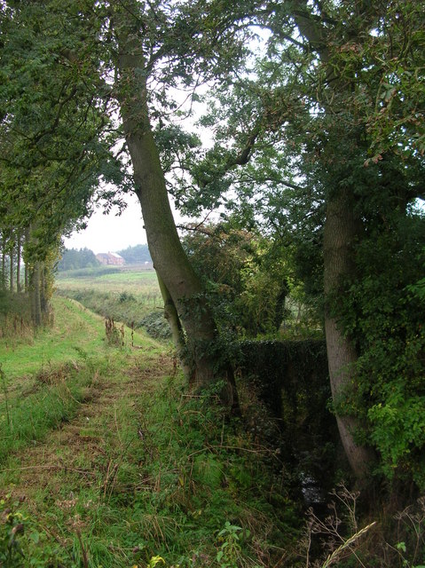
The water in the pond is clear and calm, reflecting the surrounding landscape and creating a serene atmosphere. This makes it an ideal spot for nature enthusiasts, photographers, and those seeking a peaceful retreat.

Howcar Pond is accessible via footpaths and trails, allowing visitors to explore its shores and observe the diverse wildlife that inhabits the area. The tranquil ambiance and natural beauty of the pond make it a popular destination for birdwatching, nature walks, and picnics.

Overall, Howcar Pond in Yorkshire offers a unique and ever-changing ecosystem, showcasing the wonders of nature in one of the most beautiful regions of the United Kingdom.

If you have any feedback on the listing, please let us know in the comments section below.
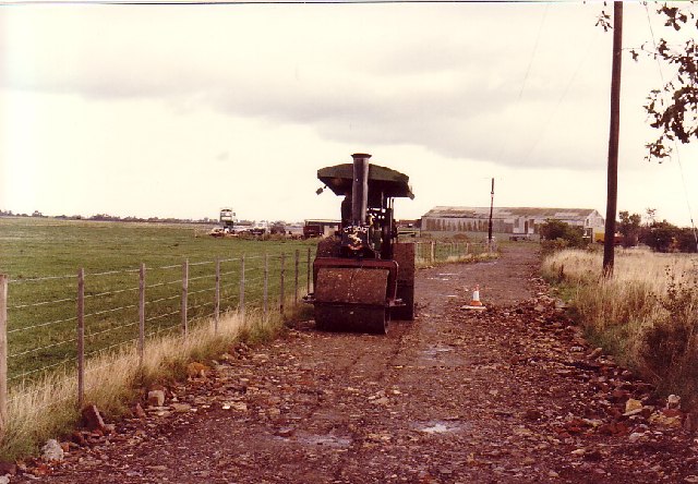
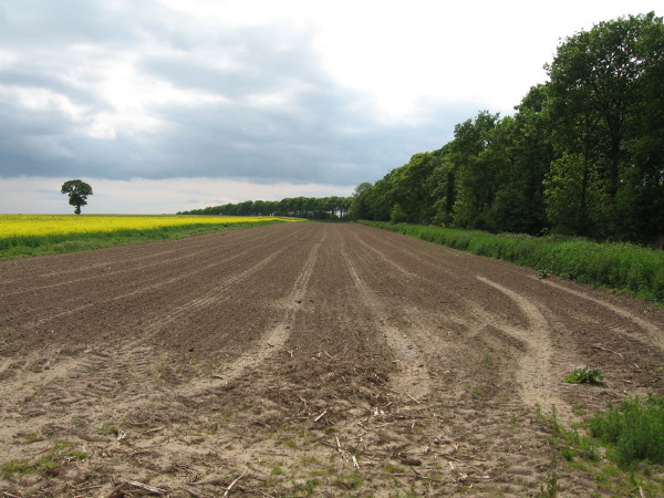
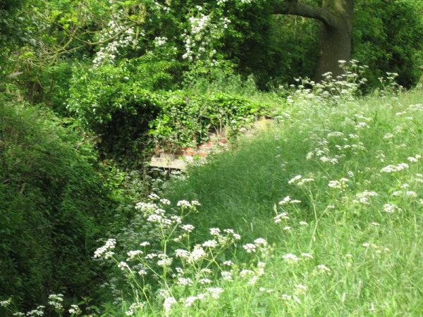
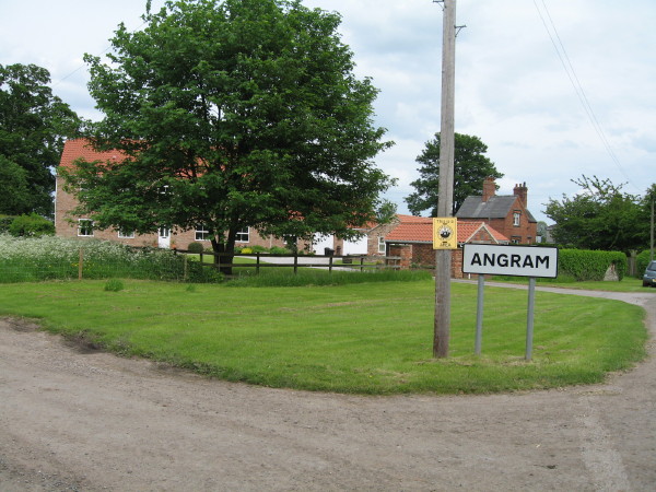
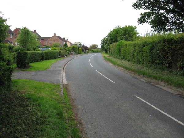
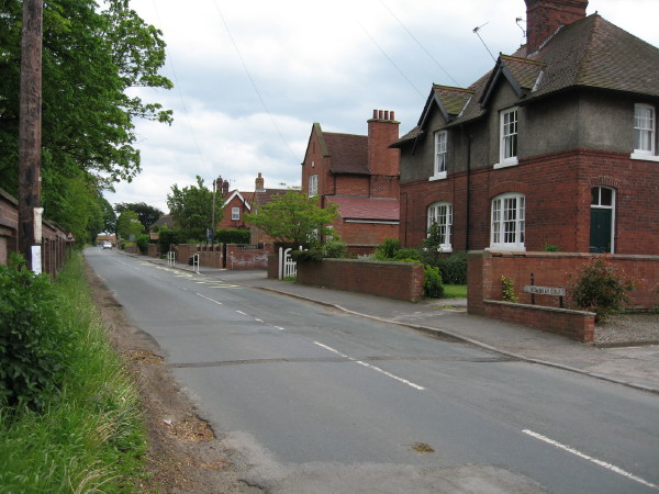
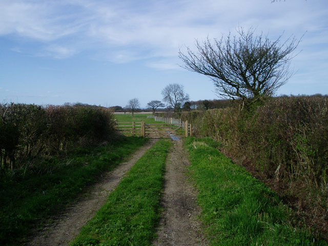
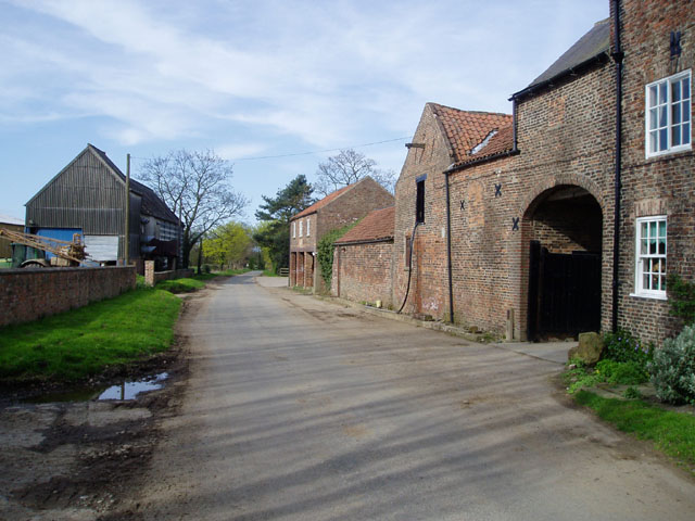
Howcar Pond Images

Images are sourced within 2km of 53.933619/-1.2122412 or Grid Reference SE5148. Thanks to Geograph Open Source API. All images are credited.

Steam Roller at Rufforth Airfield near York In the early 1980s the Ouse Gliding Club (now the York Gliding Centre) needed a new access road, and had laid a rough track which had become full of potholes. We had laid extra rubble on the track, but the result was not very satisfactory. By chance, one of the committee members came across this steam roller near his home. Chatting to the owner he found he was keen to do some real rolling with his engine, so it was agreed that we would pay for his coal and he would have a rare opportunity to work his roller.
Steam Roller at Rufforth Airfield near York
In the early 1980s the Ouse Gliding Club (now the York Gliding Centre) needed a new access road, and had laid a rough track which had become full of potholes. We had laid extra rubble on the track, but the result was not very satisfactory. By chance, one of the committee members came across this steam roller near his home. Chatting to the owner he found he was keen to do some real rolling with his engine, so it was agreed that we would pay for his coal and he would have a rare opportunity to work his roller.
Corbit Belt
Corbit Belt
Dam Bridge This location is named on the OS Map and I presume that it refers to this very ancient brick bridge alongside the road bridge, which is little more than a culvert.
Dam Bridge
This location is named on the OS Map and I presume that it refers to this very ancient brick bridge alongside the road bridge, which is little more than a culvert.
Angram Howcar Farm to left of photo, seen here at north-west entrance to village along Dam Hill.
Angram
Howcar Farm to left of photo, seen here at north-west entrance to village along Dam Hill.
Angram (South East)
Angram (South East)
Askham Richard North End with Askham Grange Prison on the left.
Askham Richard
North End with Askham Grange Prison on the left.
End of farm track near Angram
Normans Farm near Bilbrough
Road Junction near Bilbrough
Askham Richard, St Mary's Church This Church is just slightly to the east of centre of the southern boundary line on the O/s grid which it occupies.
Askham Richard, St Mary's Church
This Church is just slightly to the east of centre of the southern boundary line on the O/s grid which it occupies.
Farmland off York Road Taken on a wet Friday afternoon as I cycled home in the rain.
Farmland off York Road
Taken on a wet Friday afternoon as I cycled home in the rain.
Healaugh Beck Healaugh Beck as it crosses under the York Road.
Healaugh Beck
Healaugh Beck as it crosses under the York Road.
Farm on York Road The first of the buildings on the outskirts of Healaugh.
Farm on York Road
The first of the buildings on the outskirts of Healaugh.
Horse and outbuildings One of the farms on the outskirts of Healaugh.
Horse and outbuildings
One of the farms on the outskirts of Healaugh.
Bustard Belt Farmland on the outskirts of Hutton Wandesley. The line of trees is called Bustard Belt.
Bustard Belt
Farmland on the outskirts of Hutton Wandesley. The line of trees is called Bustard Belt.
Angram Dam Bridge Yorkshire Water have a pumping station beside this tiny beck.
Angram Dam Bridge
Yorkshire Water have a pumping station beside this tiny beck.
Angram The village of Angram on the west of York.
Angram
The village of Angram on the west of York.
Outskirts of Angram Looking back towards the village of Angram from the Askham road.
Outskirts of Angram
Looking back towards the village of Angram from the Askham road.
Show me another place!

Howcar Pond is located at Grid Ref: SE5148 (Lat: 53.933619, Lng: -1.2122412)

Division: West Riding

Administrative County: North Yorkshire

District: Harrogate

Police Authority: North Yorkshire

What 3 Words

///printer.jiffy.shepherdess. Near Askham Richard, North Yorkshire

Nearby Locations

Angram Howcar Pond

Related Wikis

Boroughbridge High School

Boroughbridge High School is a mixed, nonselective, state secondary school in Boroughbridge, North Yorkshire, England. The school was awarded arts specialist...

Angram, Harrogate

Angram is a village in the civil parish of Long Marston, near Bilbrough, in North Yorkshire, England. Angram was historically a township in the ancient...

HM Prison Askham Grange

HM Prison Askham Grange is a women's open category prison, located in Askham Richard village in North Yorkshire, England. The prison is run by His Majesty...

Askham Richard

Askham Richard is a village and civil parish in the unitary authority of City of York in the north of England, 6.5 miles (10.5 km) south-west of York,...

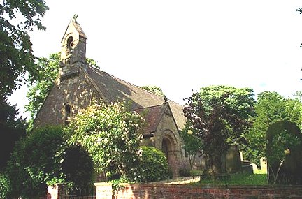
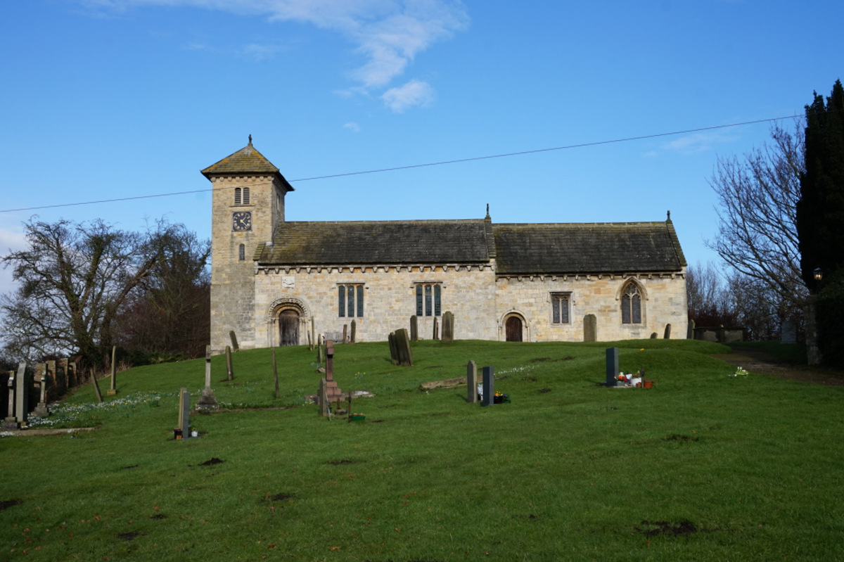
St Mary's Church, Askham Richard

St Mary's Church is the parish church of Askham Richard, a village in the western, rural, part of the City of York in England. The oldest part of the church...

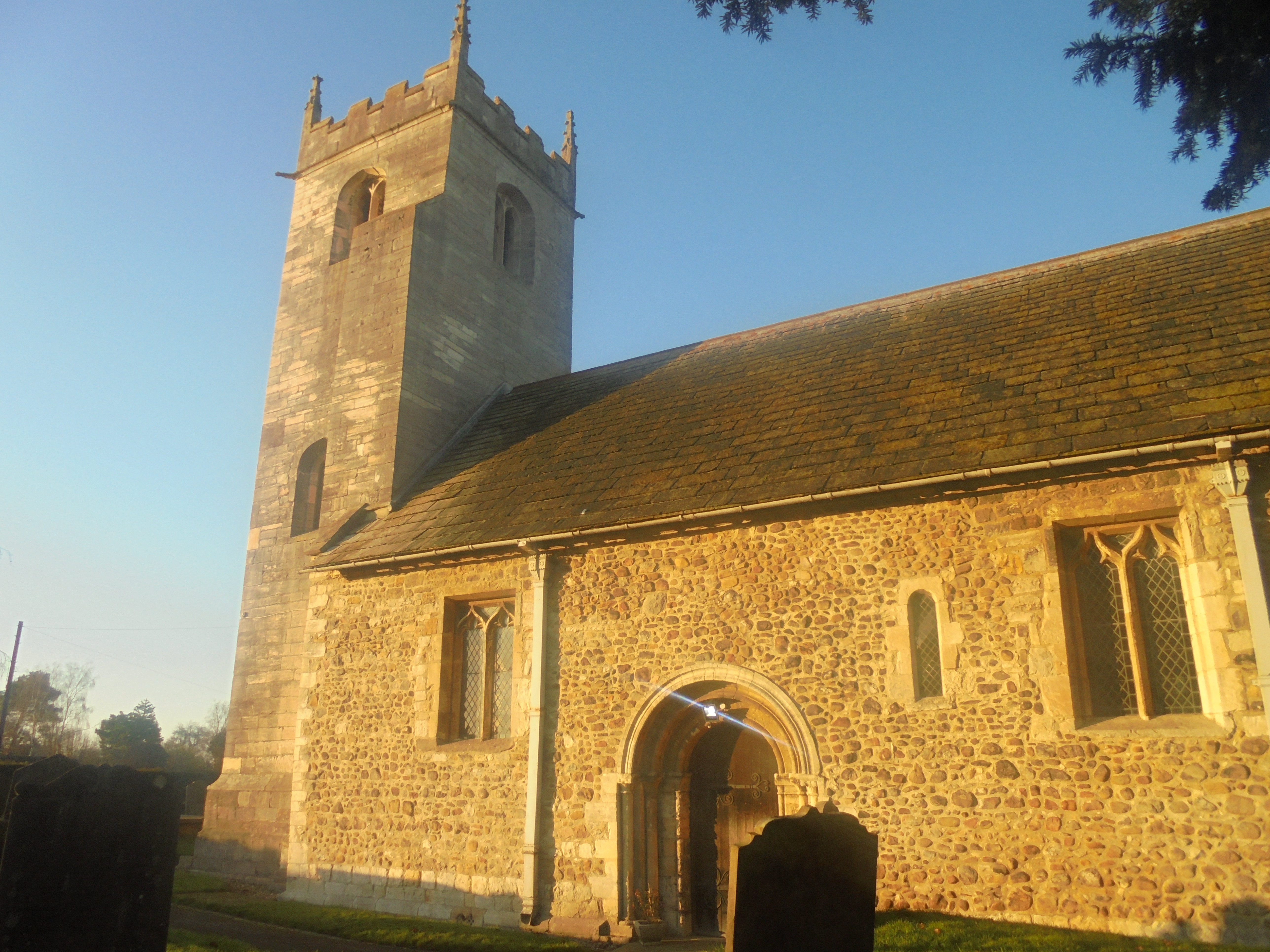
St John the Baptist Church, Healaugh

St John the Baptist Church is the parish church of Healaugh, a village west of York and north of Tadcaster in North Yorkshire, in England. The church was...

Healaugh, Selby

Healaugh is a village and civil parish in the Selby District of North Yorkshire, England. According to the 2001 census it had a population of 161 in 63...

All Saints' Church, Long Marston

All Saints' Church is the parish church of Long Marston, a village in the Harrogate district of North Yorkshire, in England. A chapel was built at the...

Nearby Amenities

Located within 500m of 53.933619,-1.2122412
Angram
Is In: UK,Yorkshire
Place: hamlet
Wikidata: Q2573121
Wikipedia: en:Angram, Harrogate
Lat/Long: 53.9311663/-1.2096078
Post Box
Post Box Type: lamp
Lat/Long: 53.9318148/-1.2103892
Defibrillator
Defibrillator Location: outside Sycamore Barn, Angram, YO23 3PA
Emergency: defibrillator
Indoor: no
Lat/Long: 53.9307338/-1.2089202
Bench
Lat/Long: 53.9306153/-1.2088448
The data included in this document is from www.openstreetmap.org. The data is made available under ODbL.

Have you been to Howcar Pond?

Leave your review of Howcar Pond below (or comments, questions and feedback).