Zouch Cut

Lake, Pool, Pond, Freshwater Marsh in Nottinghamshire Rushcliffe

England

Zouch Cut

Hathern Road
Hathern Road Credit: Alex McGregor

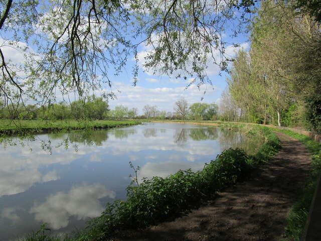
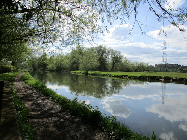
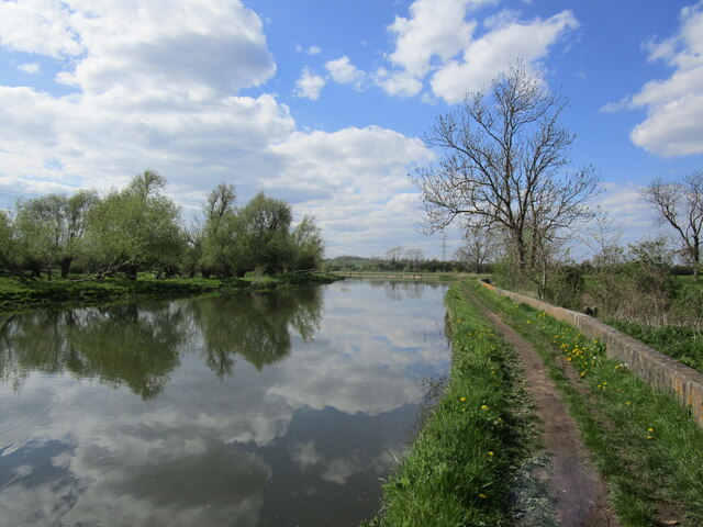
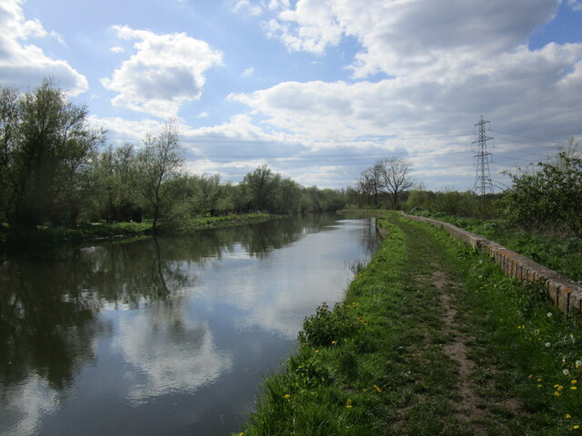
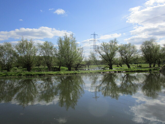
Zouch Cut, located in Nottinghamshire, is a picturesque body of water that can be classified as a lake, pool, pond, and freshwater marsh. It stretches over an area of approximately 50 acres and is situated within the Zouch Marsh Nature Reserve. The lake is surrounded by lush green vegetation, providing a tranquil and serene environment for visitors.

The water in Zouch Cut is typically calm and clear, reflecting the beauty of the surrounding landscape. It is home to a diverse range of aquatic plants and wildlife species, making it an important ecological site. The marshy areas around the lake support a variety of wetland plants, such as reeds, rushes, and water lilies.

Birdwatchers flock to Zouch Cut due to its reputation as a haven for birdlife. The lake attracts numerous waterfowl species, including ducks, swans, and geese. It is also a popular nesting ground for various bird species, such as herons and grebes. Bird enthusiasts can observe these magnificent creatures in their natural habitat, making Zouch Cut a must-visit location for ornithologists and nature lovers.

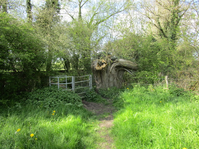
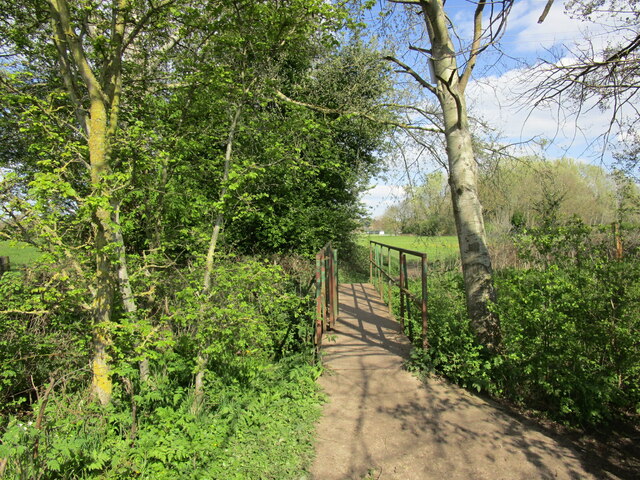
The lake is easily accessible to the public, with footpaths and viewing points scattered around its perimeter. These pathways offer visitors the opportunity to explore the area, observe the wildlife, and enjoy the peaceful atmosphere. The well-maintained nature reserve ensures a safe and enjoyable experience for all visitors.

Zouch Cut in Nottinghamshire provides a unique blend of natural beauty, biodiversity, and recreational opportunities. Whether it is birdwatching, photography, or simply enjoying the tranquility of the surroundings, this stunning body of water offers something for everyone.

If you have any feedback on the listing, please let us know in the comments section below.
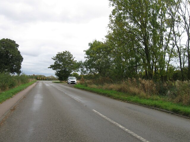
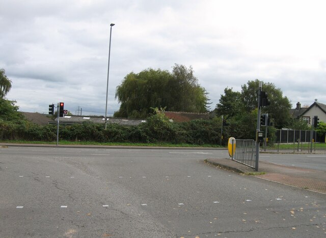
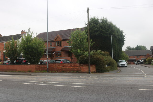
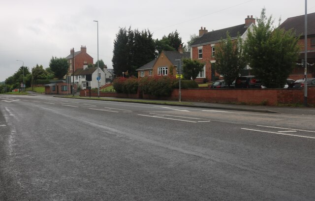
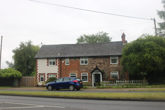
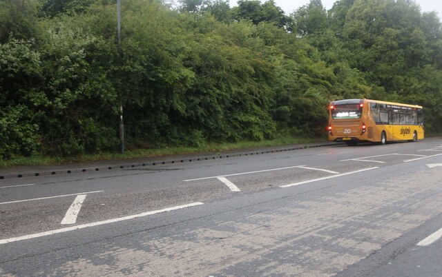
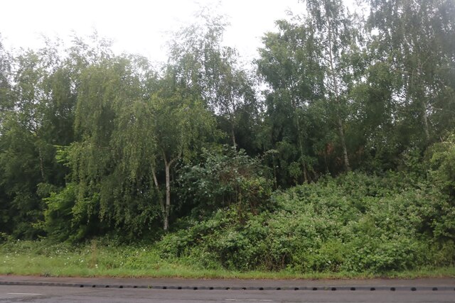
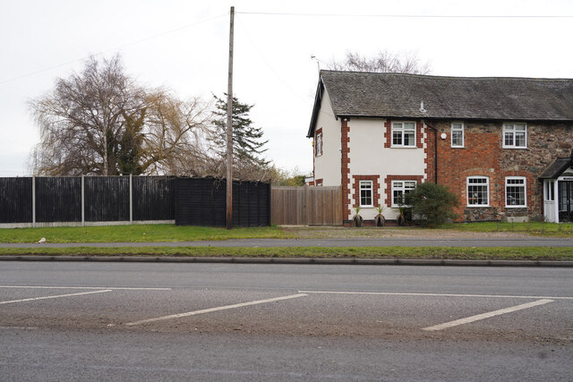
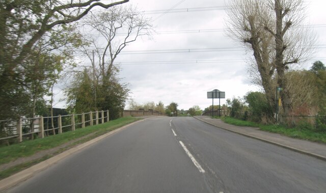
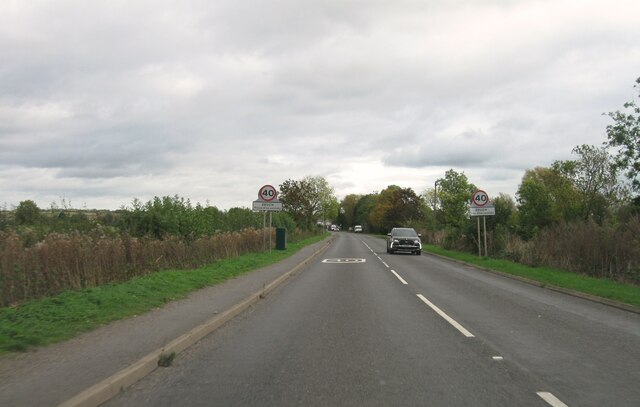
Zouch Cut Images

Images are sourced within 2km of 52.806668/-1.2466561 or Grid Reference SK5023. Thanks to Geograph Open Source API. All images are credited.

Hathern Road
Hathern Road
Whatton Road
Whatton Road
Derby Road, Hathern
Derby Road, Hathern
Derby Road, Hathern
Derby Road, Hathern
Cottage on Derby Road, Hathern
Derby Road, Hathern
Derby Road, Hathern
Woodland by Derby Road, Hathern
Looking across the A6 The cottages along the A6 are on the edge of Hathern.
Looking across the A6
The cottages along the A6 are on the edge of Hathern.
The River Soar near Sutton Bonington The river forms the boundary between Leicestershire (left) and Nottinghamshire.
The River Soar near Sutton Bonington
The river forms the boundary between Leicestershire (left) and Nottinghamshire.
Footpath approaching the River Soar The River is just beyond the trees.
Footpath approaching the River Soar
The River is just beyond the trees.
The River Soar The branch of the river which flows via the Devil's Elbow is marked by the trees in the centre of the picture.
The River Soar
The branch of the river which flows via the Devil's Elbow is marked by the trees in the centre of the picture.
Footbridge over a drain by the River Soar
The River Soar near Sutton Bonington
The River Soar Beyond the river is an area that is almost permanently flooded.
The River Soar
Beyond the river is an area that is almost permanently flooded.
Field view at junction with A6006
Zouch Road
Zouch Road
Entrance to Zouch
Entrance to Zouch
Show me another place!

Zouch Cut is located at Grid Ref: SK5023 (Lat: 52.806668, Lng: -1.2466561)

Administrative County: Nottinghamshire

District: Rushcliffe

Police Authority: Nottinghamshire

What 3 Words

///classed.joined.tightest. Near Hathern, Leicestershire

Related Wikis

Zouch

Zouch is a hamlet in south west Nottinghamshire, England. It is located between Hathern and Normanton on Soar and is situated by the River Soar, which...

Hathern railway station

Hathern railway station was a station serving the village of Hathern in Leicestershire, England. == History == It was built by the Midland Railway on the...

Normanton on Soar

Normanton on Soar (), formerly known as Normanton-upon-Soar and known locally as Normanton, is a village and civil parish in the Rushcliffe district of...

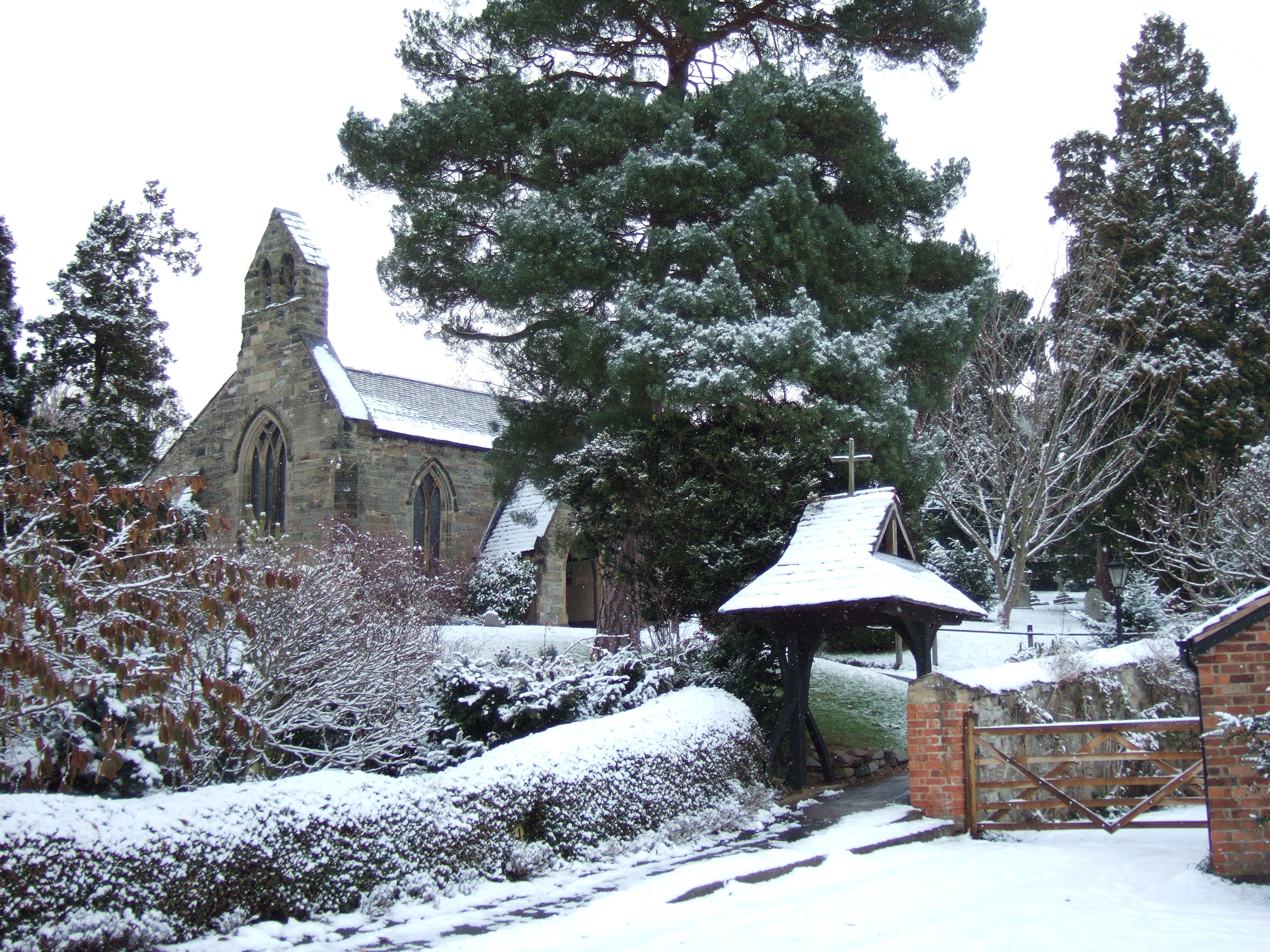
St James' Church, Normanton

The Church of St. James is a parish church in the village of Normanton on Soar, Nottinghamshire. The Church was designated as a Grade I listed building...

Hathern

Hathern is a village and civil parish in the Charnwood district of Leicestershire, England. The village itself is located in the north of the district...

Sutton Bonington

Sutton Bonington () is a village and civil parish lying along the valley of the River Soar in the Borough of Rushcliffe, south-west Nottinghamshire, England...

St Anne's Church, Sutton Bonington

St. Anne's Church is a parish church in the Church of England in Sutton Bonington, Nottinghamshire. The church is a 12th-century Grade II* Listed building...

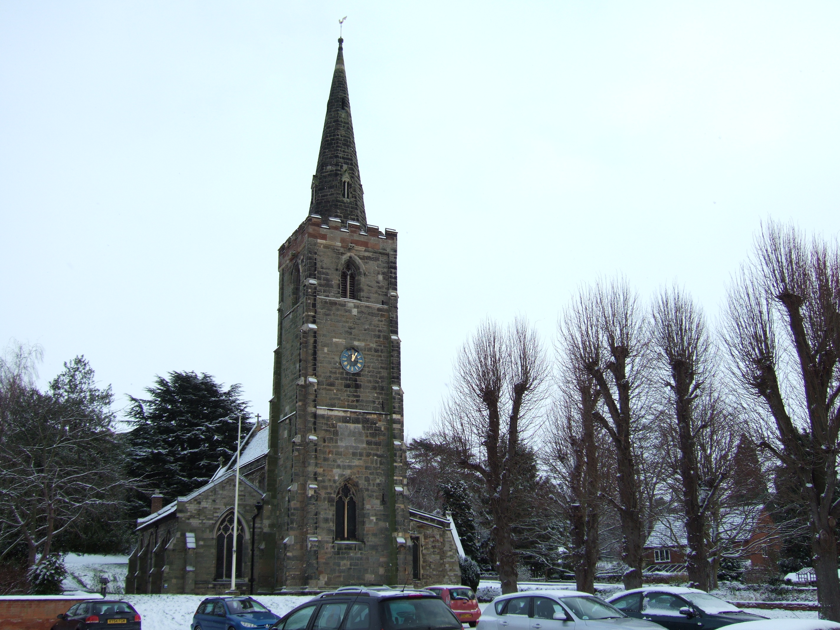
St Michael's Church, Sutton Bonington

St. Michael's Church is a parish church in the Church of England in Sutton Bonington, Nottinghamshire. The church is a 13th-century Grade II* Listed building...

Nearby Amenities

Located within 500m of 52.806668,-1.2466561
Zouch Flood Lock
Lock: yes
Lock Name: Zouch Flood Lock
Seamark Type: gate
Waterway: lock_gate
Lat/Long: 52.8065963/-1.2464222
Bus Stop
Moor Lane
Bus: yes
Local Ref: RU0277
Naptan AtcoCode: 3300RU0277
Naptan Bearing: SW
Naptan CommonName: Moor Lane
Naptan Crossing: Moor Lane
Naptan Indicator: adj
Naptan NaptanCode: ntsatgpg
Naptan Notes: none
Naptan Street: Main Street
Naptan Verified: yes
Public Transport: platform
Shelter: yes
Source: naptan_import
Lat/Long: 52.808539/-1.2424906
Bus Stop
Moor Lane
Bus: yes
Naptan AtcoCode: 3300RU0278
Naptan Bearing: NE
Naptan CommonName: Moor Lane
Naptan Crossing: Moor Lane
Naptan Indicator: opp
Naptan NaptanCode: ntsatgpj
Naptan Notes: none
Naptan Street: Main Street
Naptan Verified: no
Public Transport: platform
Source: naptan_import
Lat/Long: 52.8090562/-1.2418289
Bus Stop
Main Street
Alt Name: Rose and Crown
Bus: yes
Local Ref: RU0279
Naptan AltCommonName: Rose and Crown
Naptan AltIndicator: o/s
Naptan AltLandmark: Rose and Crown
Naptan AltStreet: Main Street
Naptan AtcoCode: 3300RU0279
Naptan Bearing: E
Naptan CommonName: Main Street
Naptan Indicator: E-bound
Naptan Landmark: Rose and Crown
Naptan NaptanCode: ntsatgpm
Naptan Notes: none
Naptan Street: Main Street
Naptan Verified: yes
Public Transport: platform
Shelter: no
Source: naptan_import
Lat/Long: 52.8066254/-1.2487852
Bus Stop
Main Street
Alt Name: Rose and Crown
Bus: yes
Local Ref: RU0280
Naptan AltCommonName: Rose and Crown
Naptan AltIndicator: opp
Naptan AltLandmark: Rose and Crown
Naptan AltStreet: Main Street
Naptan AtcoCode: 3300RU0280
Naptan Bearing: SW
Naptan CommonName: Main Street
Naptan Indicator: SW-bound
Naptan Landmark: Old Water Mill
Naptan NaptanCode: ntsatgpt
Naptan Notes: none
Naptan Street: Main Street
Naptan Verified: yes
Public Transport: platform
Shelter: yes
Source: naptan_import
Lat/Long: 52.8062248/-1.2503785
Zouch
Old Name: Zouch Mill
Place: hamlet
Wikidata: Q8074625
Wikipedia: en:Zouch
Lat/Long: 52.8064386/-1.2490895
Post Box
Collection Times: Mo-Fr 09:00; Sa 07:00
Operator: Royal Mail
Operator Wikidata: Q638098
Post Box Type: lamp
Ref: LE12 31D
Royal Cypher: EIIR
Royal Cypher Wikidata: Q33102113
Source: survey
Lat/Long: 52.8062465/-1.2502846
Telephone
Booth: KX100
Source: survey
Lat/Long: 52.8063574/-1.2503784
Power: pole
Source: Bing
Lat/Long: 52.8075728/-1.2422323
Power: pole
Source: Bing
Lat/Long: 52.8070778/-1.2455588
Power: pole
Source: Bing
Lat/Long: 52.8077233/-1.2412992
Power: pole
Source: Bing
Lat/Long: 52.8073859/-1.2433916
Advertising: board
Operator: Normanton-upon-Soar Parish Council
Lat/Long: 52.8076944/-1.2396637
Recycling
Operator: Rushcliffe Borough Council
Recycling Clothes: yes
Recycling Glass Bottles: yes
Recycling Type: container
Source: survey
Lat/Long: 52.8078366/-1.2398021
Advertising: board
Operator: Sutton Bonington Parish Council
Lat/Long: 52.8063635/-1.2497517
Defibrillator
Defibrillator Location: On front wall of Rose and Crown on corner of building facing car park
Emergency: defibrillator
Mapillary: 552621342731465
Ref: CHT-10-227
Source: survey
Survey Date: 2021-06-24
Lat/Long: 52.8067094/-1.2486331
Bench
Lat/Long: 52.8103974/-1.2429958
Addr Housename: Wiston Wharf
Addr Postcode: LE12 5EQ
Addr Street: Main Street
Note: Letter box here
Source Addr: survey
Source Addr Postcode: OS Opendata Codepoint
Lat/Long: 52.8055767/-1.2520816
Note: Several letter boxes here including: '4, The Shack', 'Still Waters, 2 Zouch Farm Cottages' and '7, Willow Bank'. Possibly these are dwellings along the river bank SE of here?
Lat/Long: 52.8068138/-1.245443
Barrier: stile
Lat/Long: 52.8069015/-1.2453263
Entrance: home
Lat/Long: 52.8062912/-1.2493802
Entrance: main
Lat/Long: 52.8067379/-1.2488903
Barrier: stile
Lat/Long: 52.8069375/-1.2466833
Recycling
Recycling Clothes: yes
Recycling Glass Bottles: yes
Recycling Type: container
Lat/Long: 52.8066871/-1.2485461
Power: pole
Source: Bing
Lat/Long: 52.807801/-1.2403478
Generator Method: photovoltaic
Generator Output Electricity: yes
Generator Source: solar
Generator Type: solar_photovoltaic_panel
Location: roof
Power: generator
Lat/Long: 52.8064487/-1.2501615
Generator Method: photovoltaic
Generator Output Electricity: yes
Generator Source: solar
Generator Type: solar_photovoltaic_panel
Location: roof
Power: generator
Lat/Long: 52.8066481/-1.2498236
Generator Method: photovoltaic
Generator Output Electricity: yes
Generator Source: solar
Generator Type: solar_photovoltaic_panel
Location: roof
Power: generator
Lat/Long: 52.806379/-1.2491879
The data included in this document is from www.openstreetmap.org. The data is made available under ODbL.

Have you been to Zouch Cut?

Leave your review of Zouch Cut below (or comments, questions and feedback).