Castle Mill Stream
Lake, Pool, Pond, Freshwater Marsh in Oxfordshire Oxford
England
Castle Mill Stream
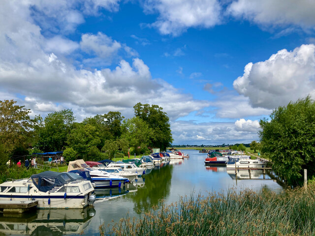
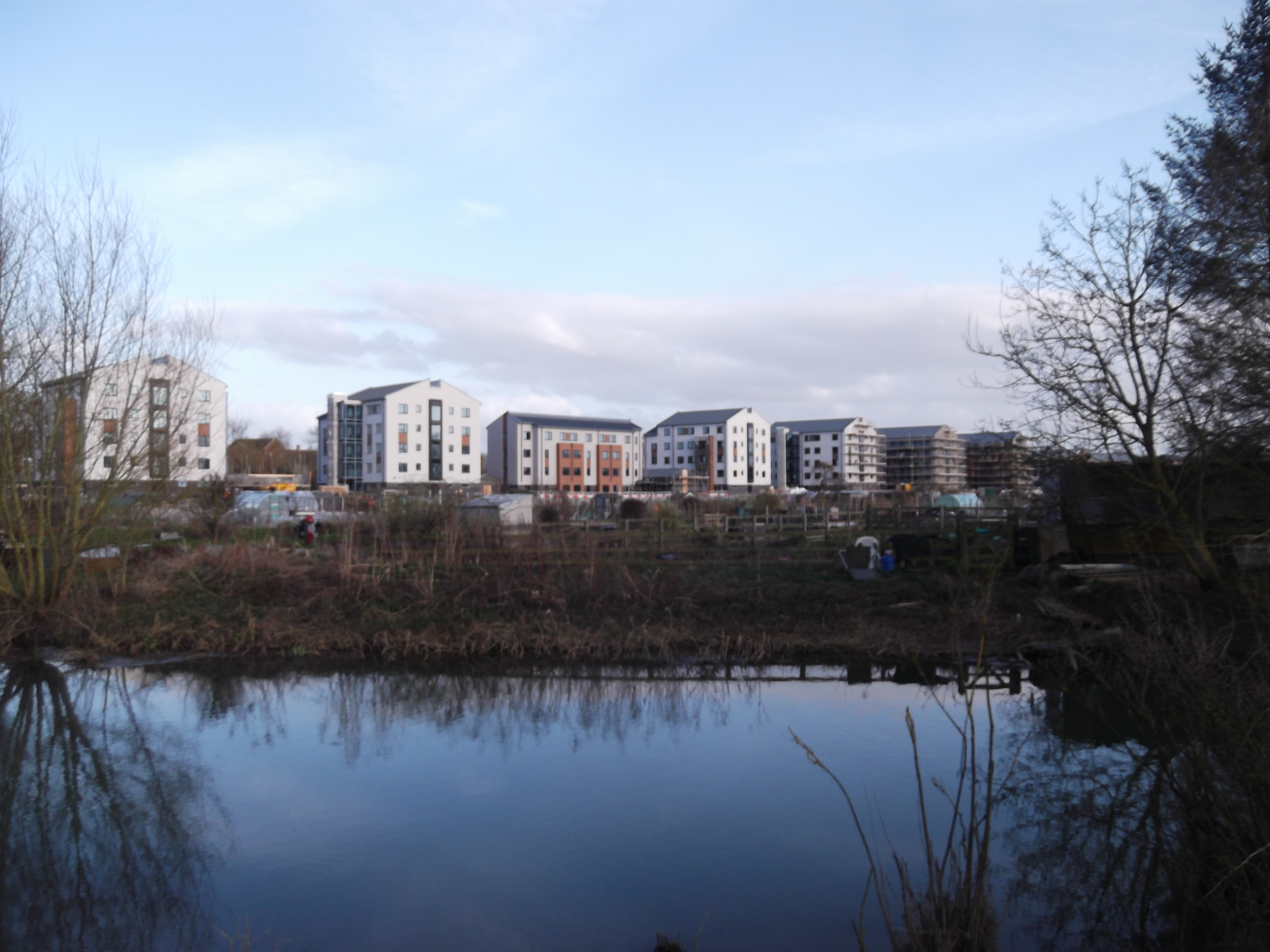
Castle Mill Stream is a man-made waterway located in Oxfordshire, England. It is not a lake, pool, or pond, but rather a freshwater marsh that serves multiple purposes within the region. The stream originates from the River Thames and flows through the heart of Oxford, dividing the city center from the residential area of Jericho.
This watercourse has a rich history and played a vital role in the development of Oxford. It was originally constructed in the 13th century as part of the city's defensive system, serving as a moat for Oxford Castle. Over time, it evolved into a transport route for goods and supplies, providing a vital connection between the city and the Thames.
Today, Castle Mill Stream serves as an important drainage channel, preventing flooding in the area. It also provides a habitat for various freshwater species, including fish, birds, and aquatic plants. The marshland surrounding the stream is home to a diverse range of wildlife, making it a valuable ecological site.
The stream is a popular spot for leisure activities, such as walking, cycling, and boating. Its picturesque setting and tranquil atmosphere attract both locals and tourists alike. Additionally, the stream has become a focal point for various cultural events and festivals throughout the year.
In conclusion, Castle Mill Stream in Oxfordshire is a historic and vibrant freshwater marsh that serves as a drainage channel, ecological habitat, and recreational area. Its significance in both the natural and cultural landscapes of Oxford makes it a cherished and well-utilized resource for the community.
If you have any feedback on the listing, please let us know in the comments section below.
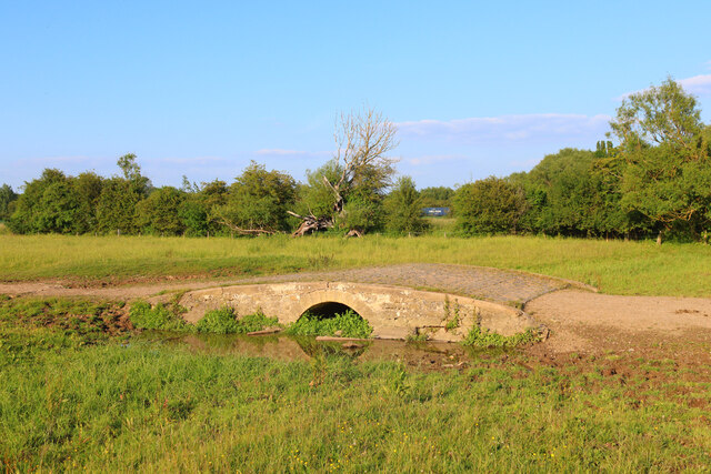
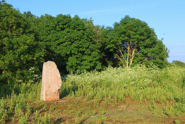
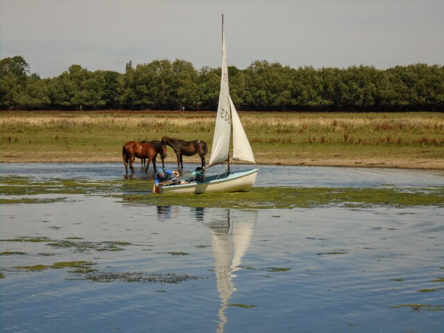
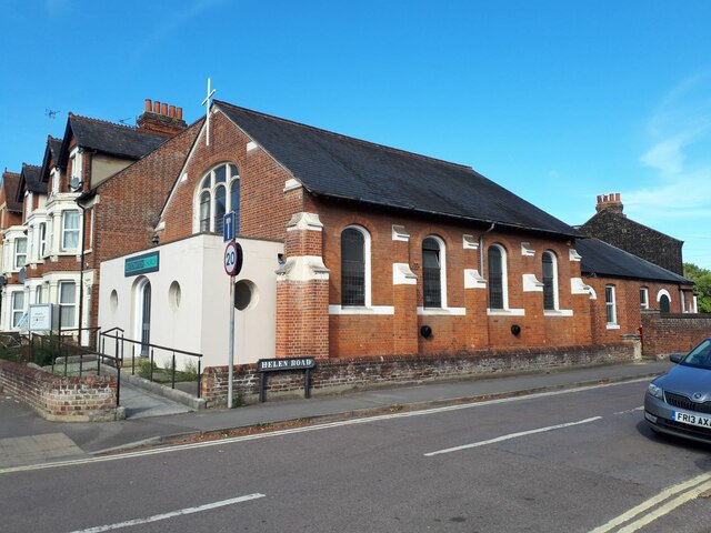
Castle Mill Stream Images
Images are sourced within 2km of 51.761939/-1.271843 or Grid Reference SP5007. Thanks to Geograph Open Source API. All images are credited.


Castle Mill Stream is located at Grid Ref: SP5007 (Lat: 51.761939, Lng: -1.271843)
Administrative County: Oxfordshire
District: Oxford
Police Authority: Thames Valley
What 3 Words
///hers.valley.blaze. Near Oxford, Oxfordshire
Nearby Locations
Related Wikis
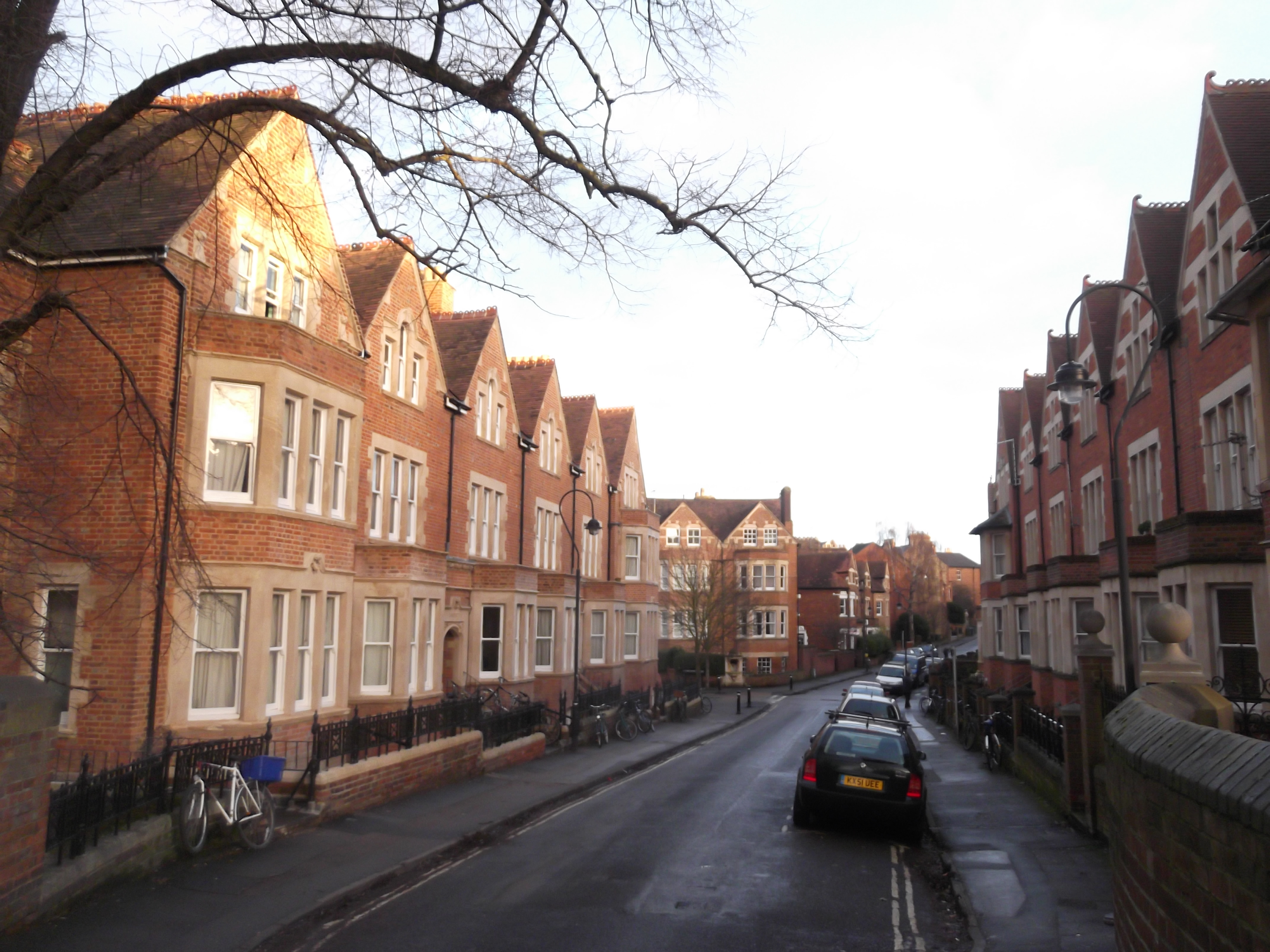
Walton Well Road
Walton Well Road is a road, about 400 metres (a quarter mile) long, near the centre of Oxford, England. It provides a link from central Oxford to Port...

Eagle Ironworks, Oxford
The Eagle Ironworks was an ironworks owned by W. Lucy & Co. on the Oxford Canal in Jericho, Oxford, England. William Carter founded the works in 1812 with...

Oxford-Man Institute of Quantitative Finance
The Oxford-Man Institute of Quantitative Finance is an interdisciplinary research institute of the University of Oxford, England. The institute was co...
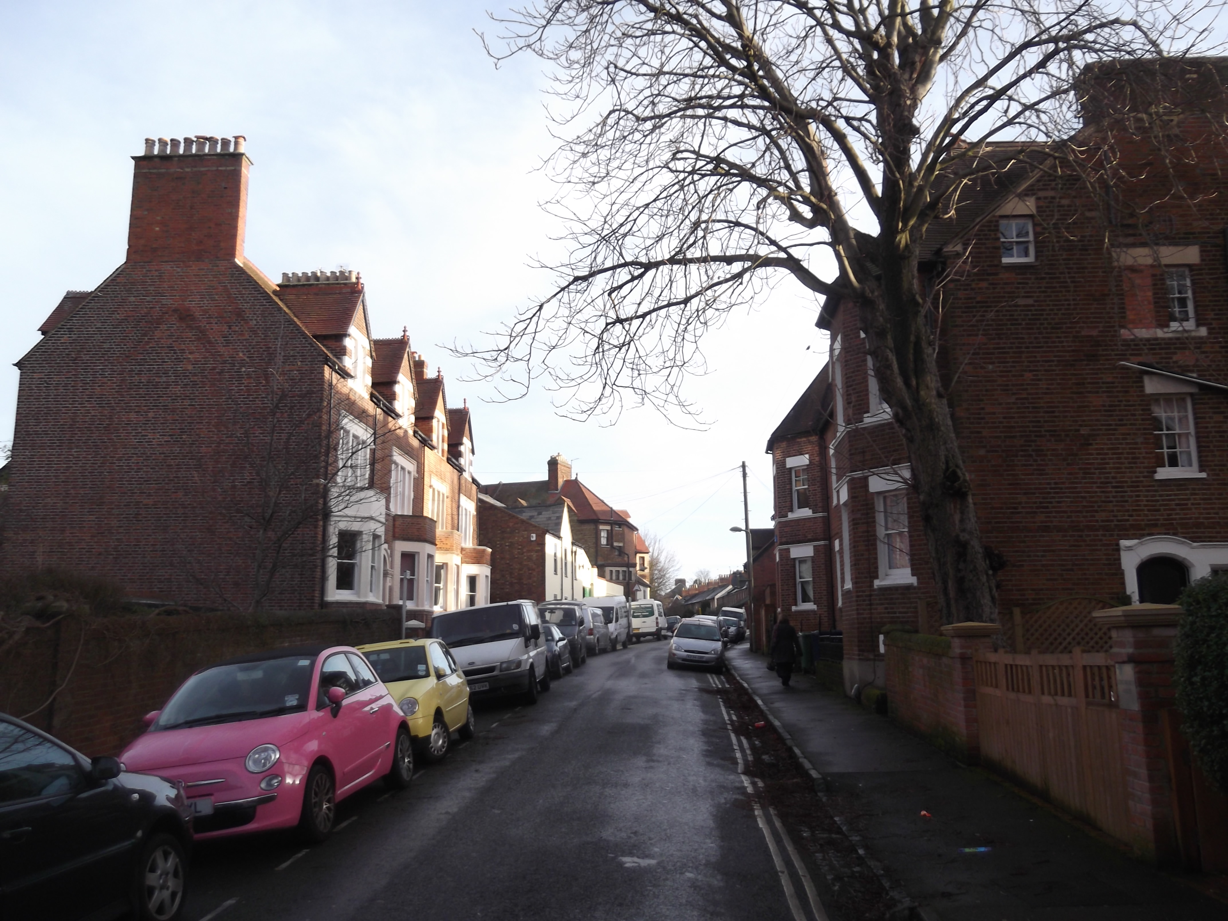
Longworth Road
Longworth Road is a residential road in Walton Manor, North Oxford, England. == Location == The road runs southwest–northeast, between a junction with...

St Sepulchre's Cemetery
St Sepulchre's Cemetery is a former cemetery located on Walton Street, Jericho, central Oxford, England. The cemetery was opened in 1848 as a cemetery...

Castle Mill
Castle Mill is a graduate housing complex of the University of Oxford in Oxford, England. == Overview == Castle Mill is located north of Oxford railway...
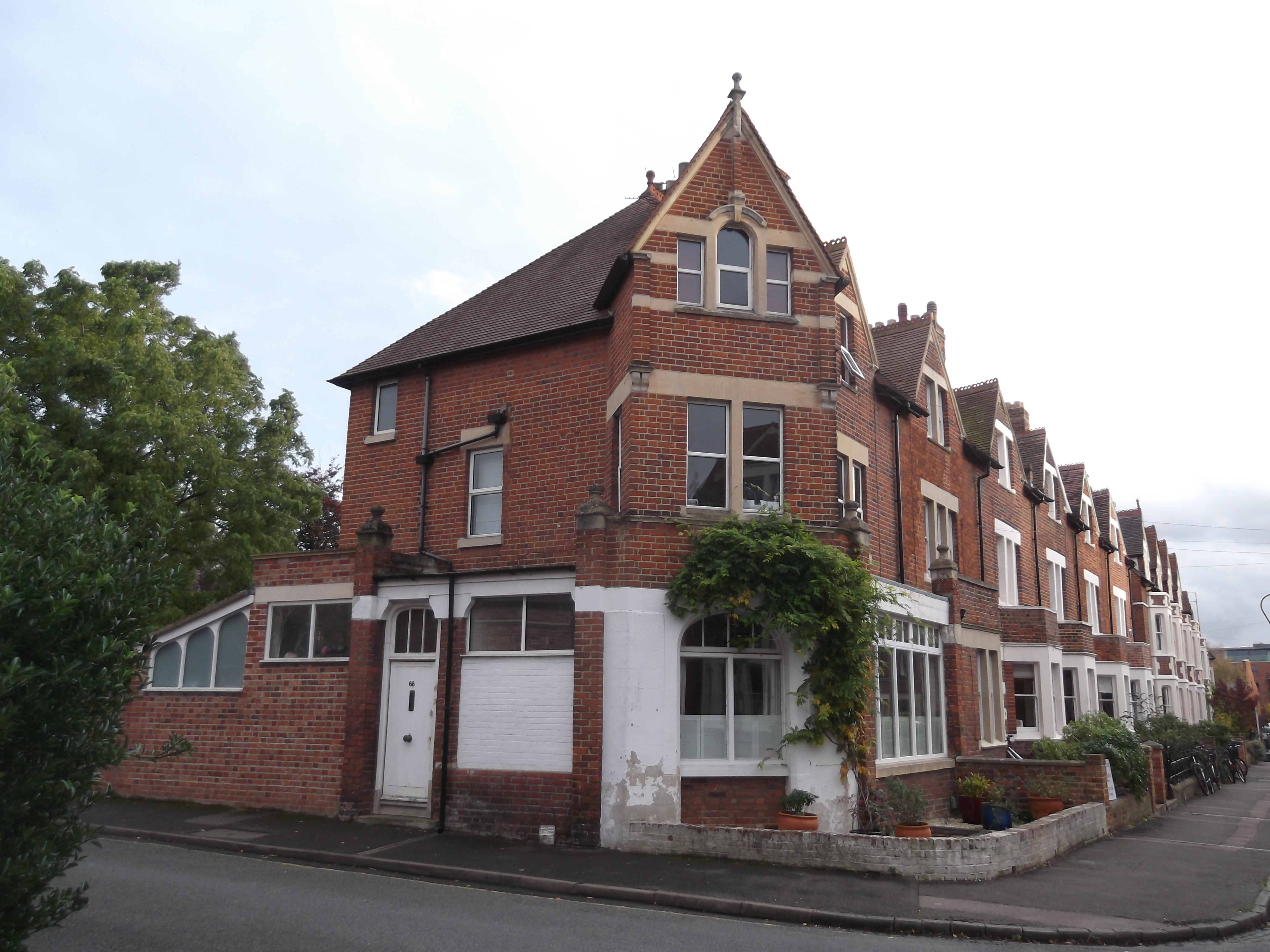
Southmoor Road
Southmoor Road is a residential road in Walton Manor, north Oxford, England. == Location == The road runs north–south, with a turn to the east to join...
Cripley Meadow
Cripley Meadow lies between the Castle Mill Stream, a backwater of the River Thames, and the Cotswold Line railway to the east, and Fiddler's Island, on...
Nearby Amenities
Located within 500m of 51.761939,-1.271843Have you been to Castle Mill Stream?
Leave your review of Castle Mill Stream below (or comments, questions and feedback).